Camera #1
|
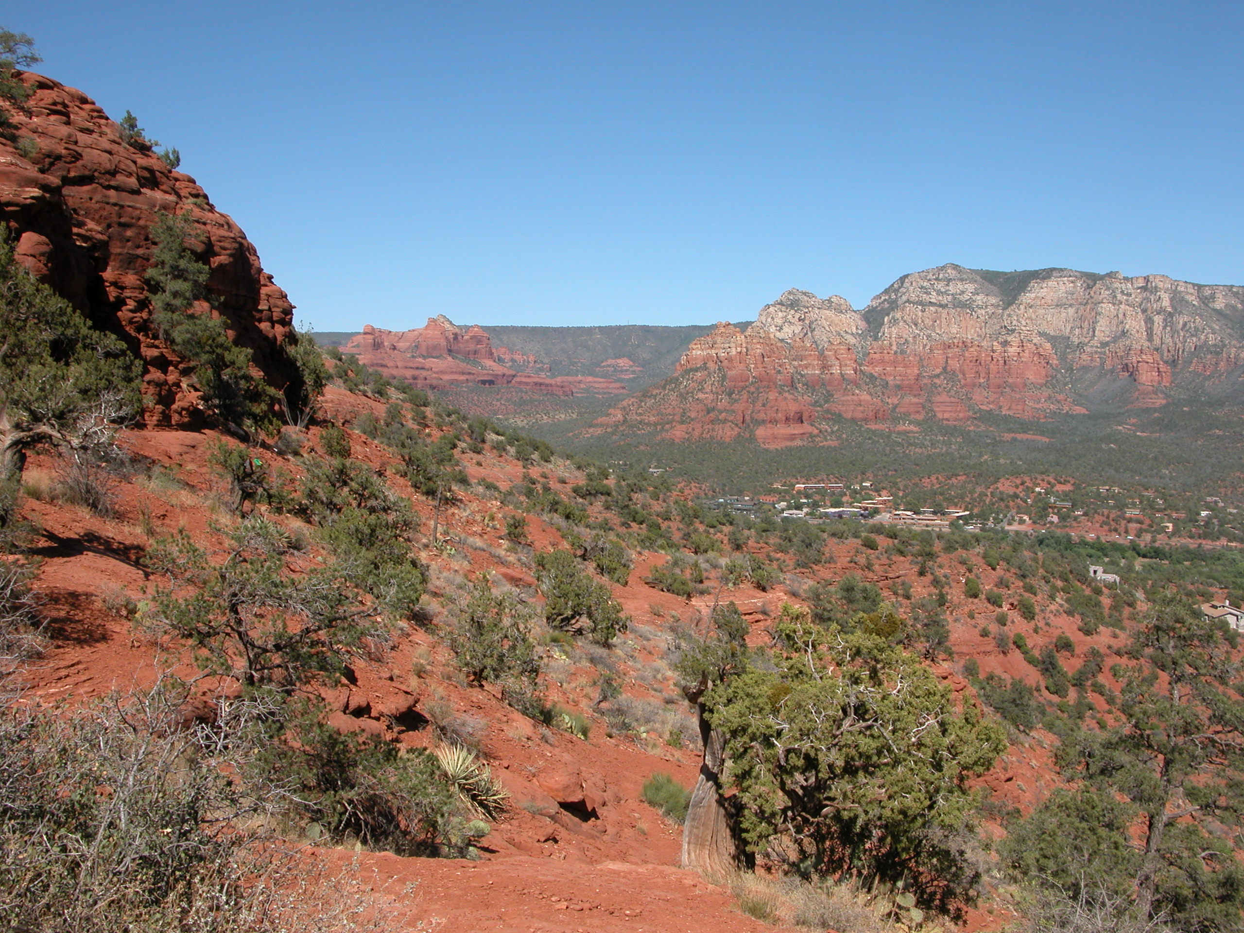
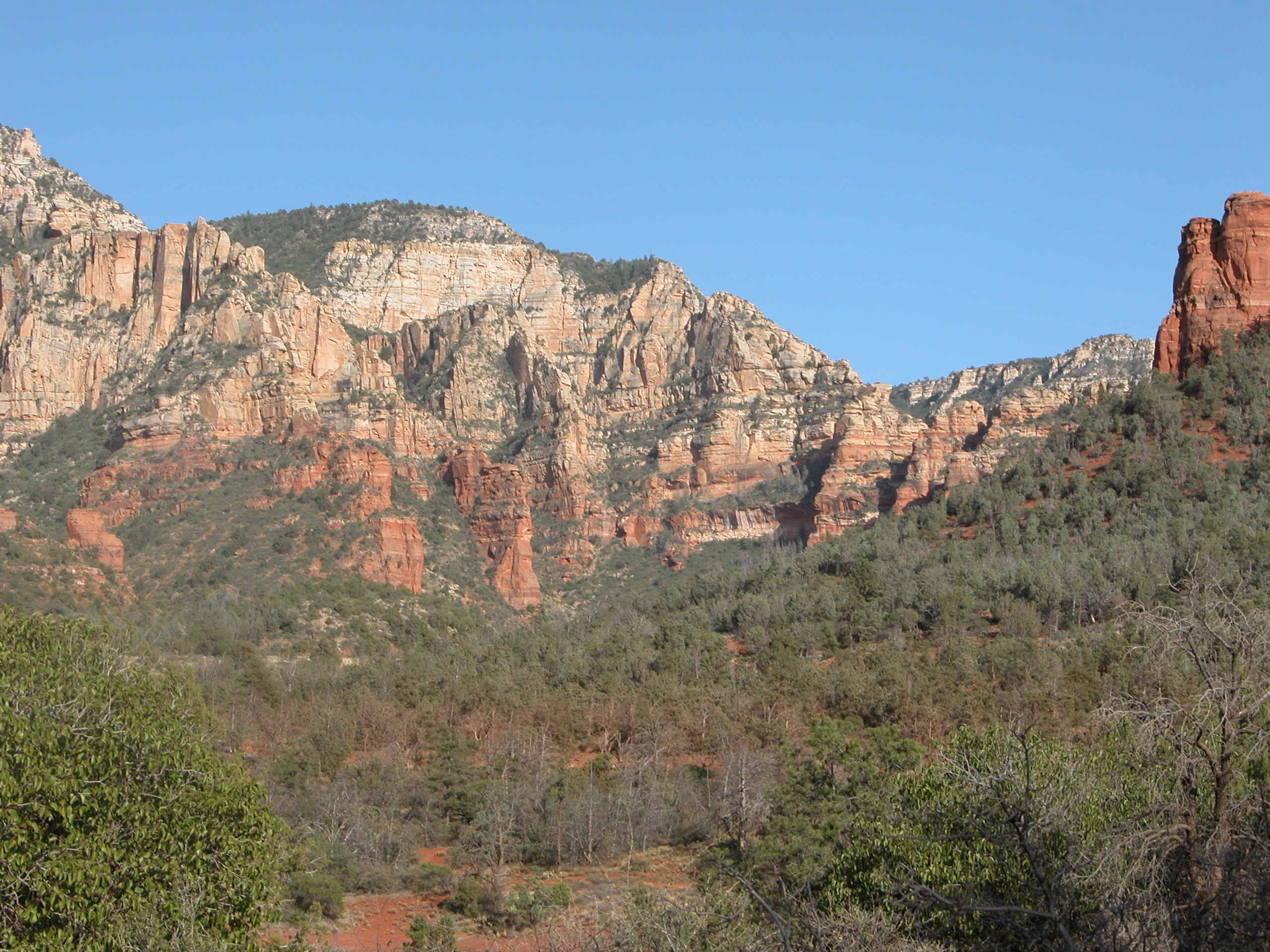
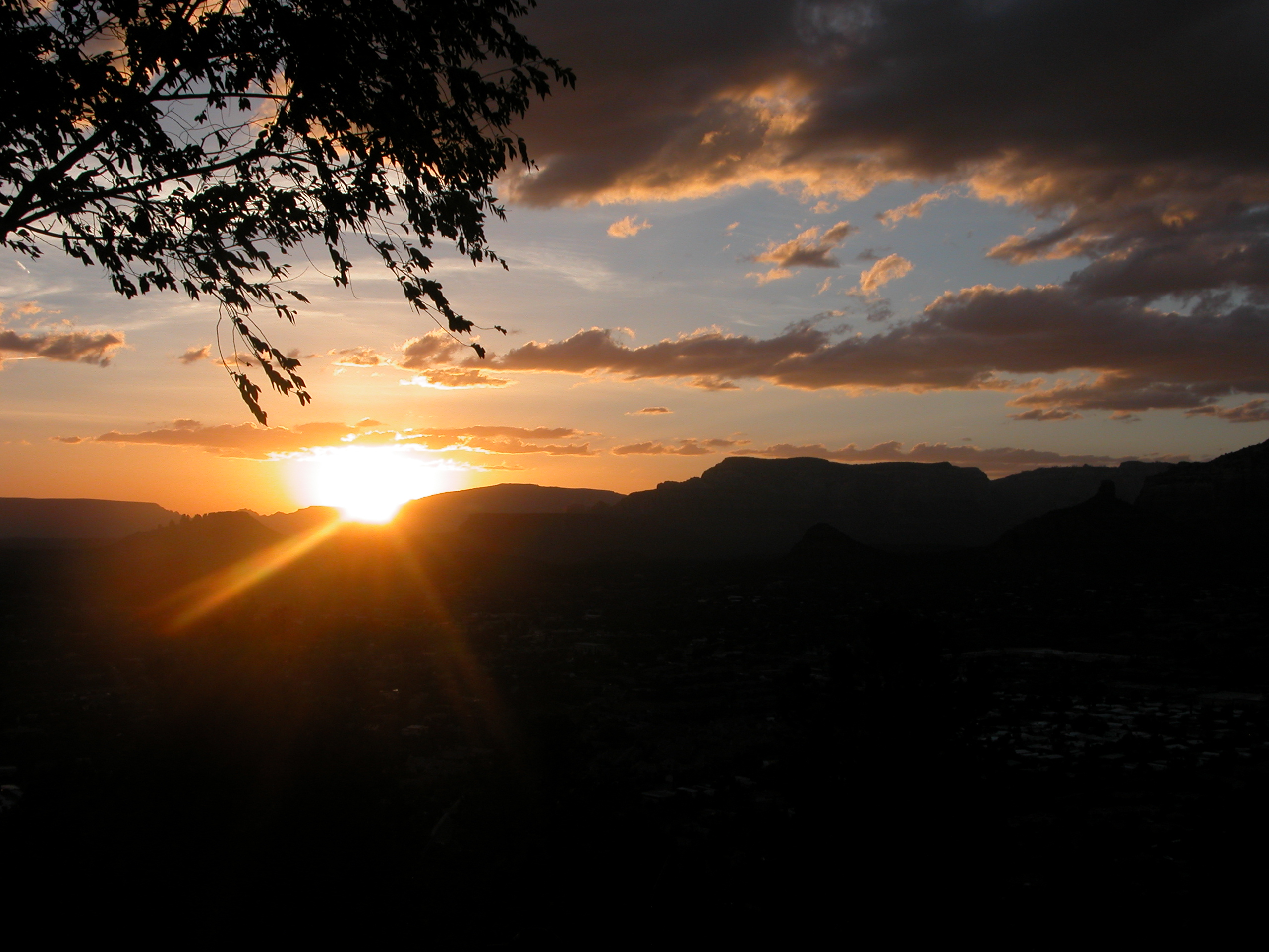
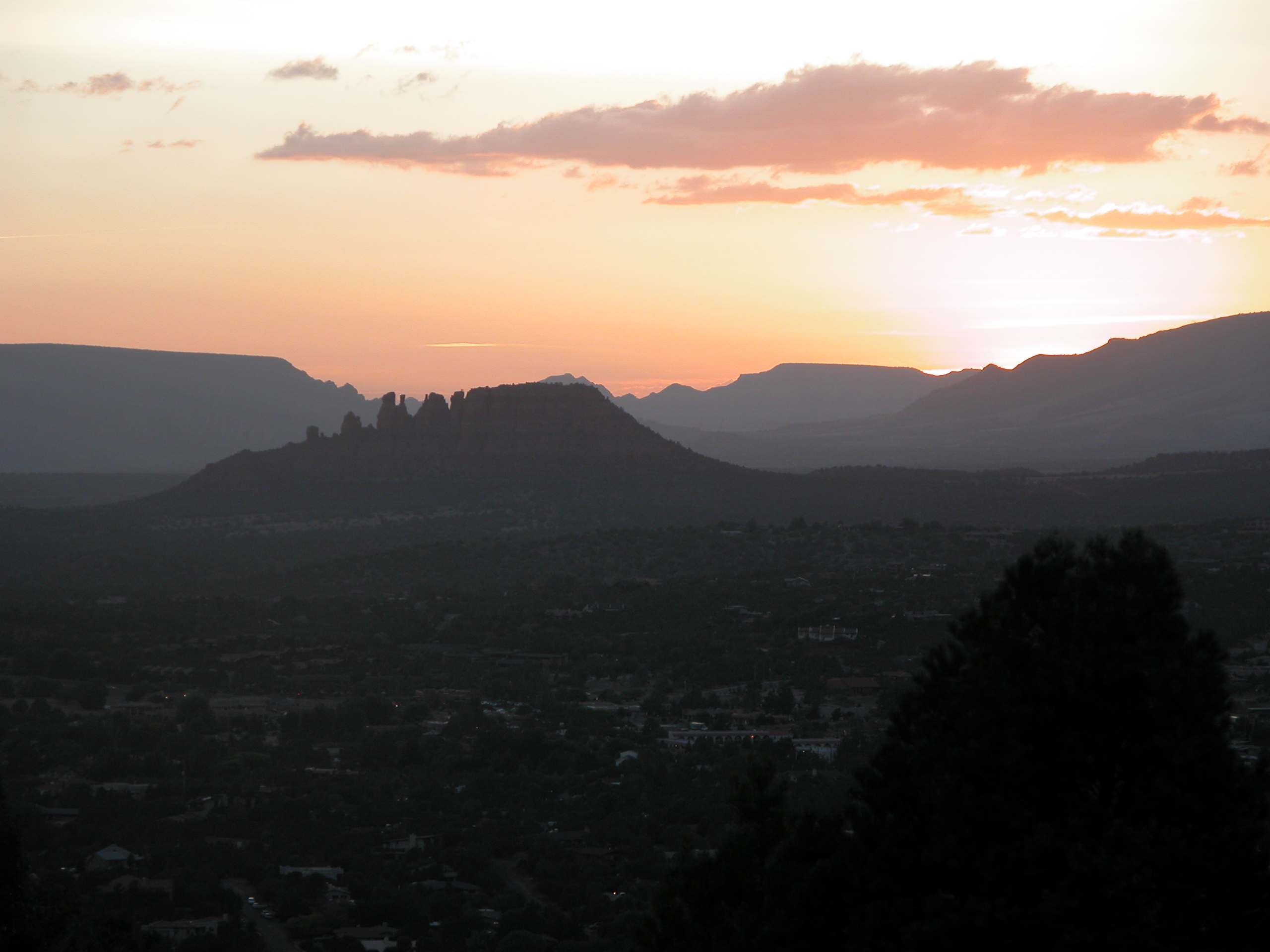
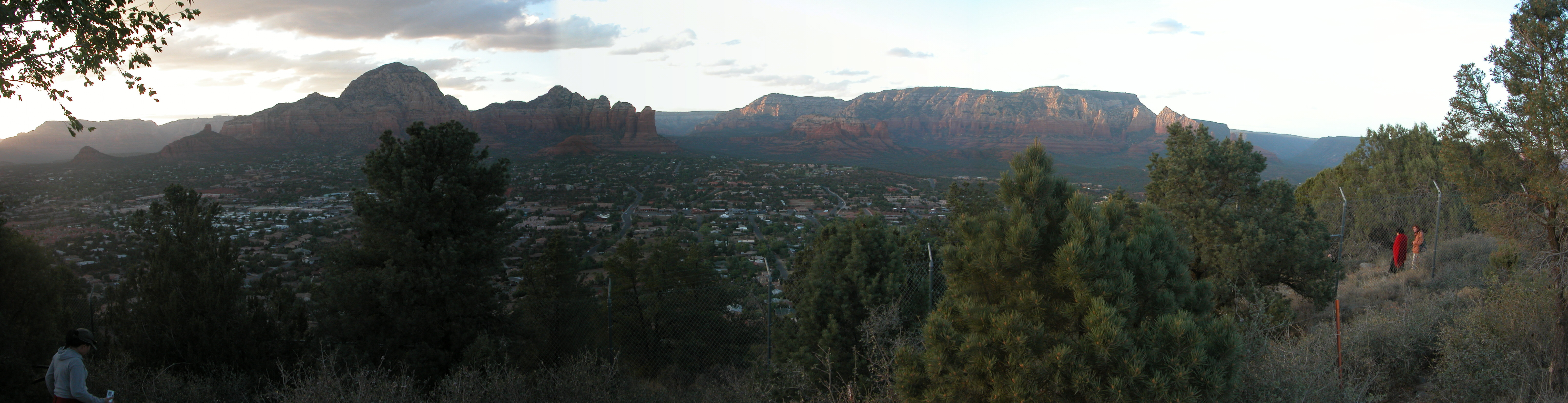
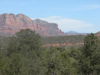
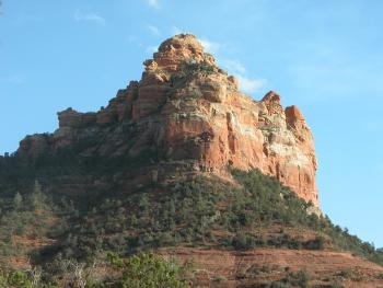
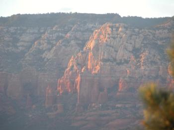
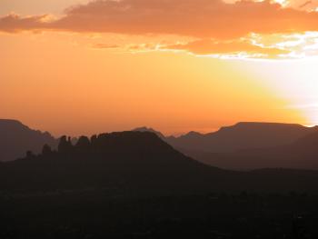
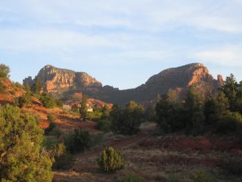
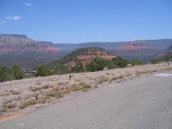
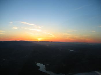
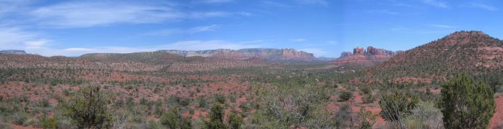
Looking East from near the Airport Mesa
|
|
|

|
|
|

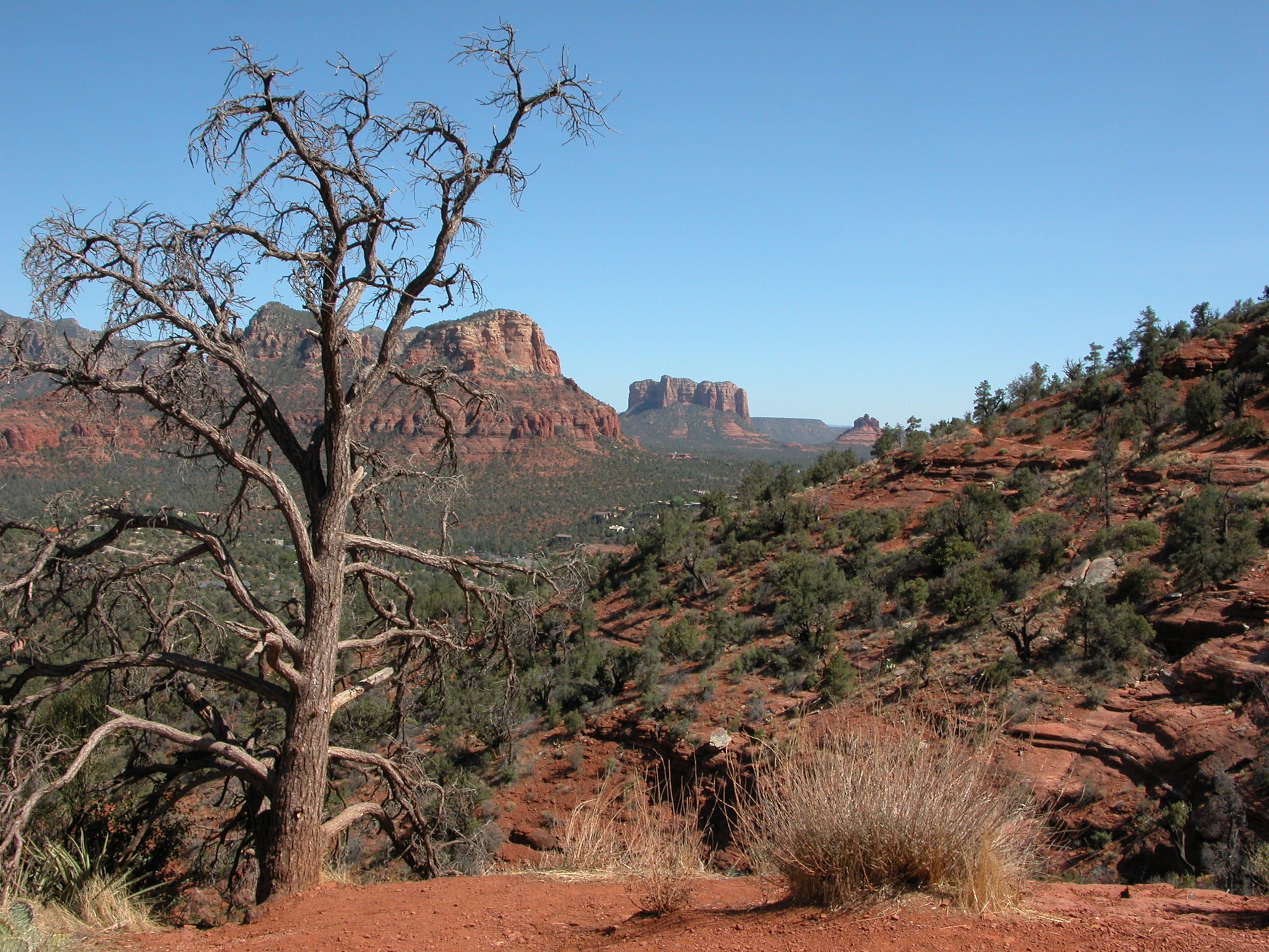
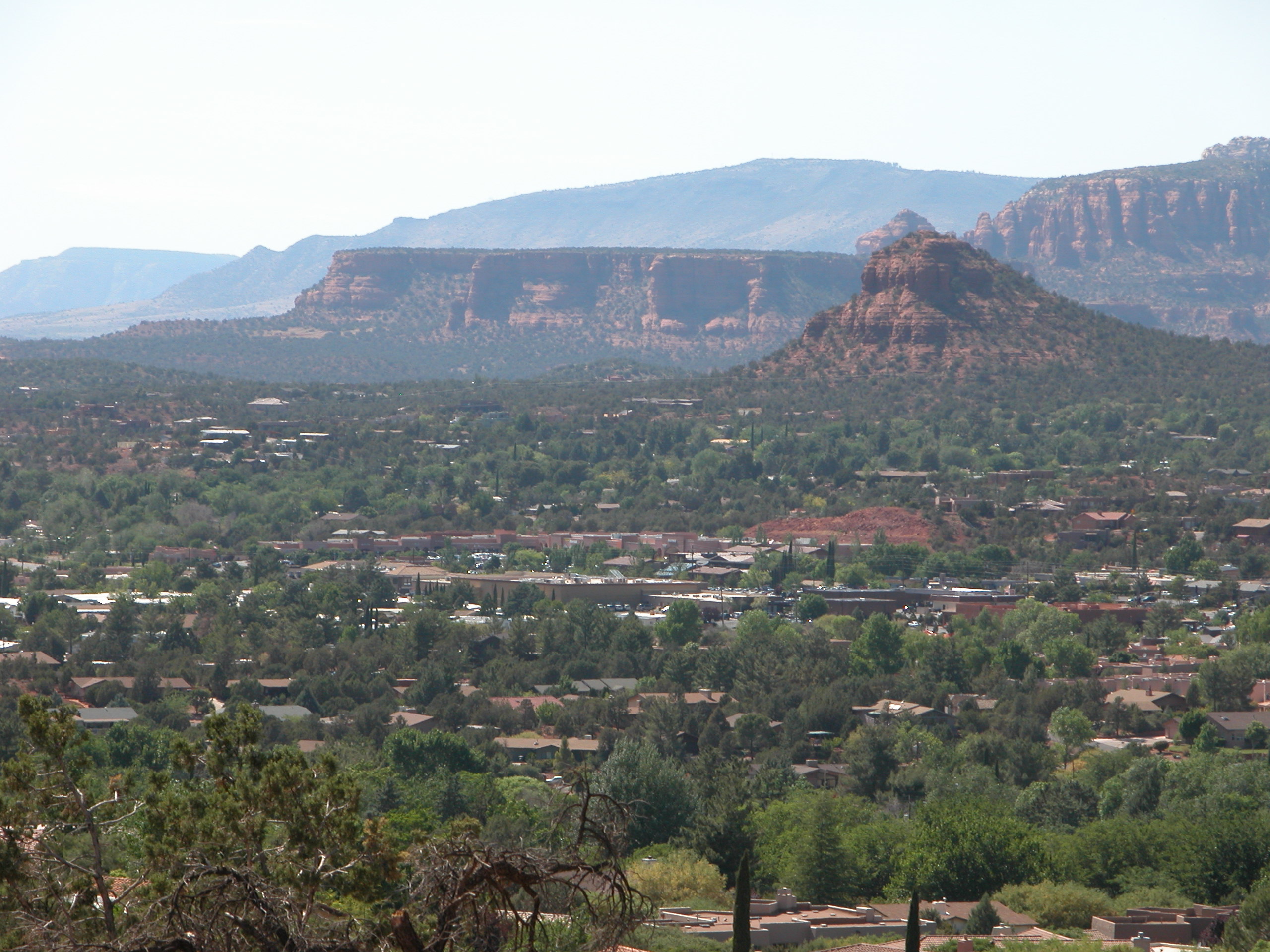
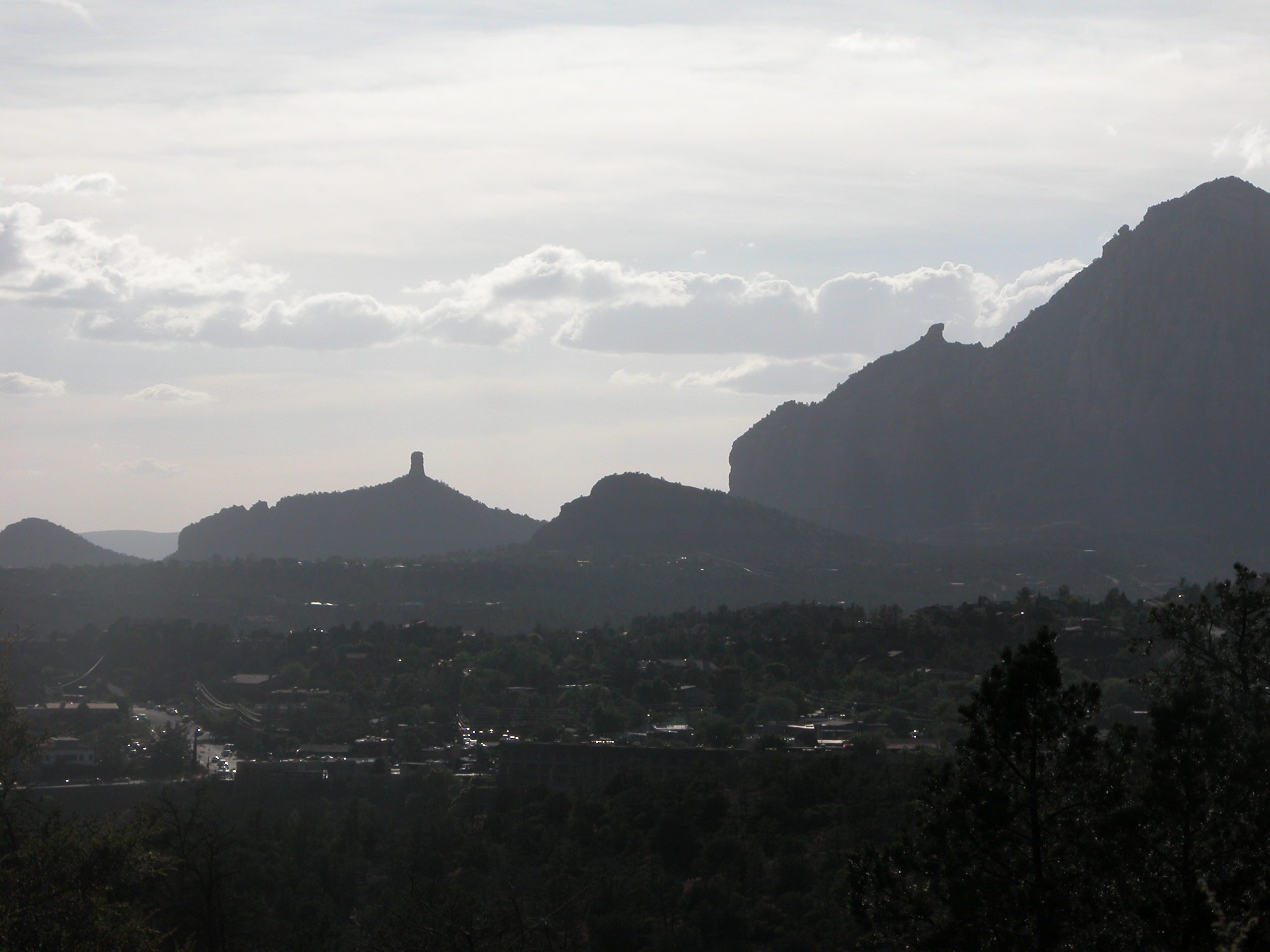
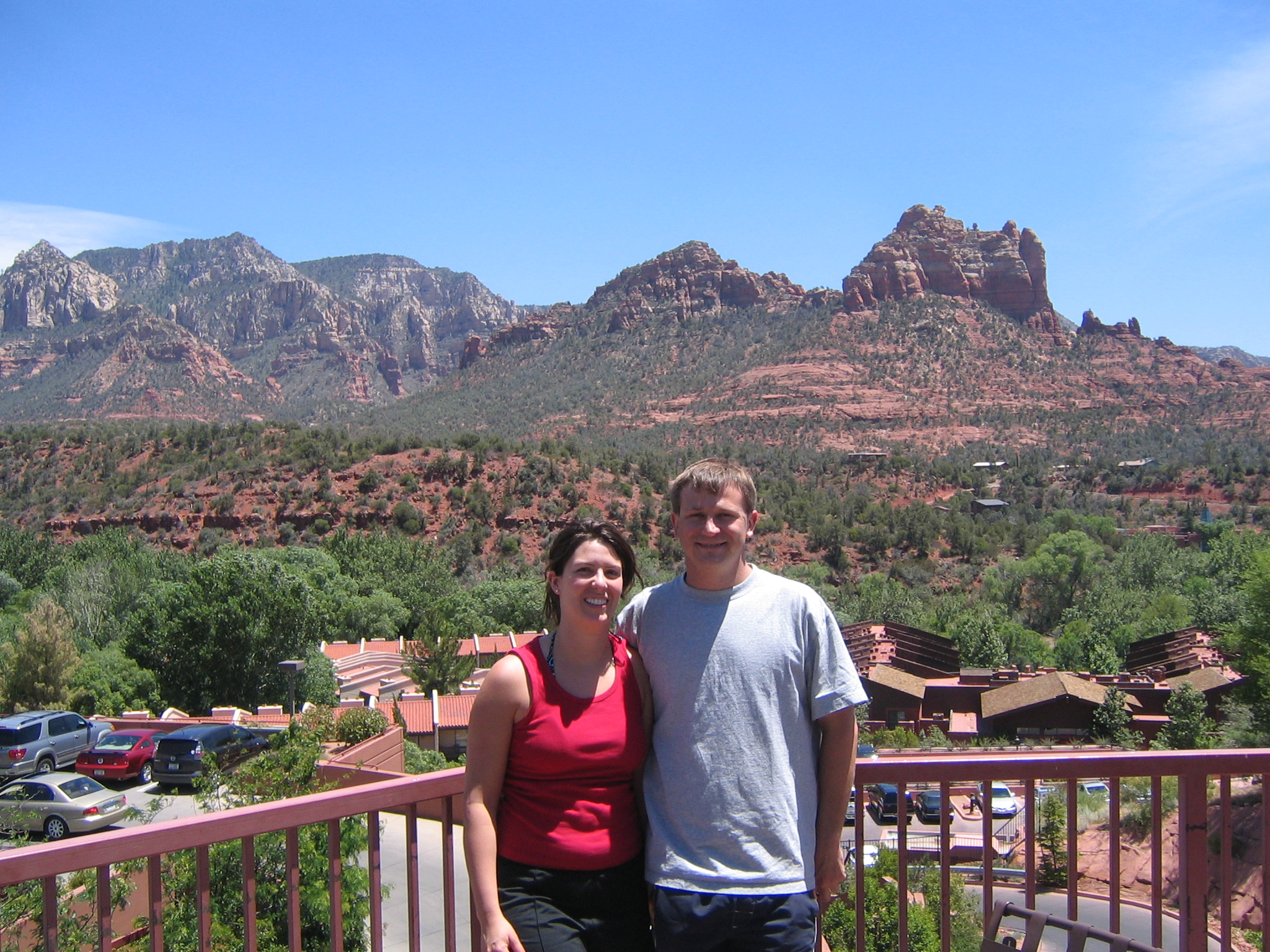
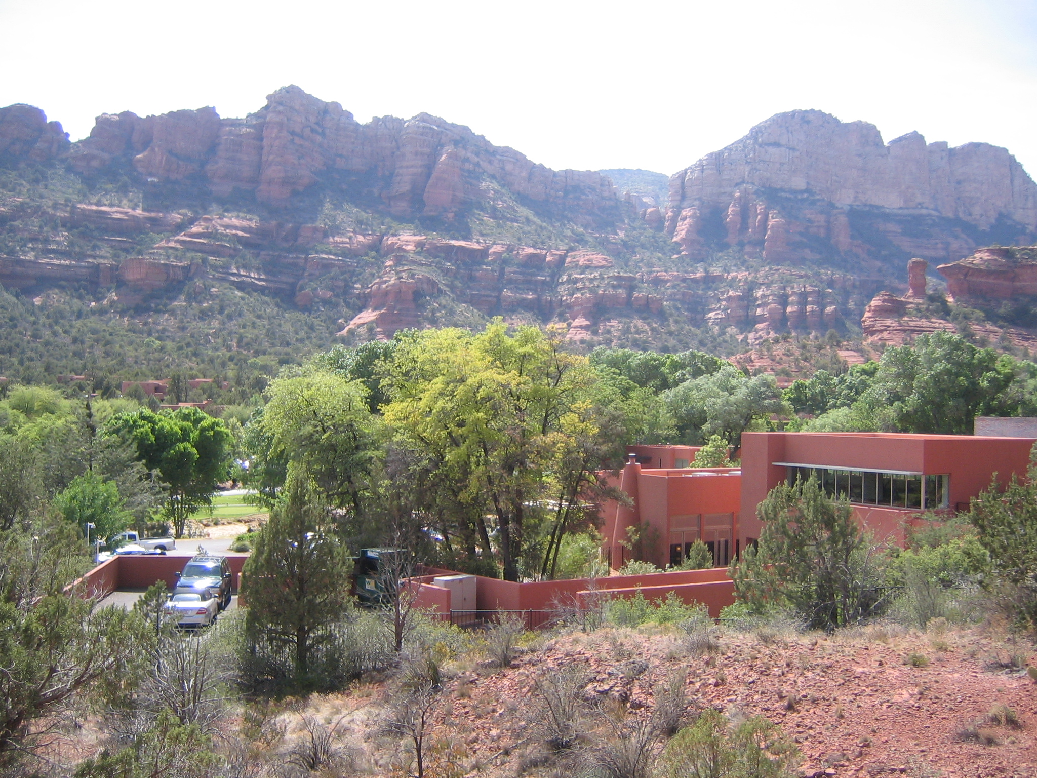
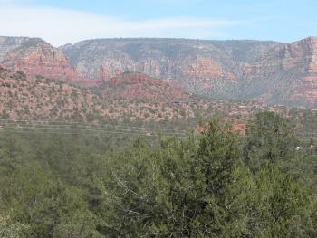
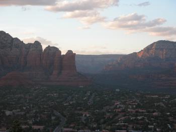
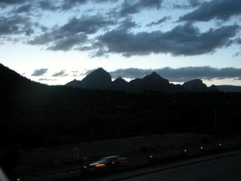
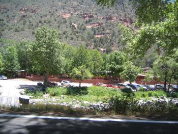
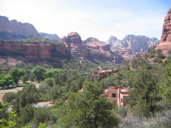
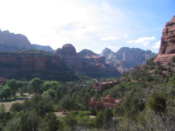
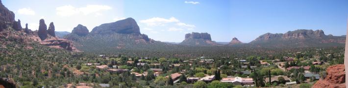
Looking down into Sedona from Airport Mesa
|
|

|

|
|

|
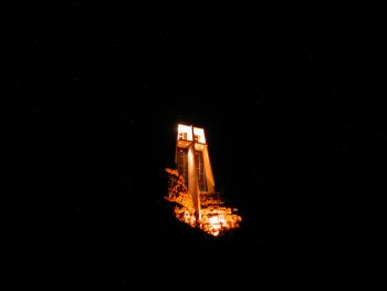
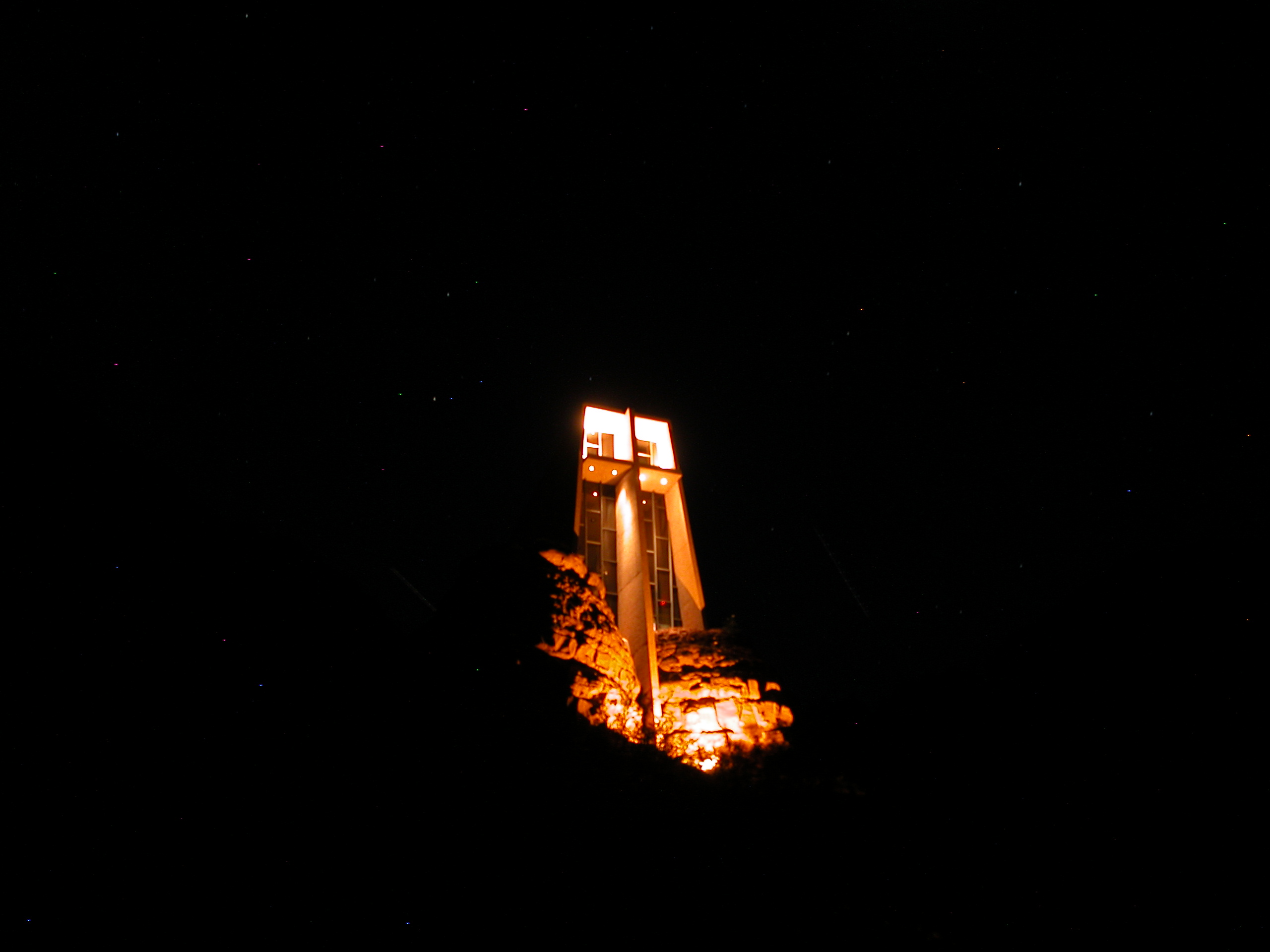
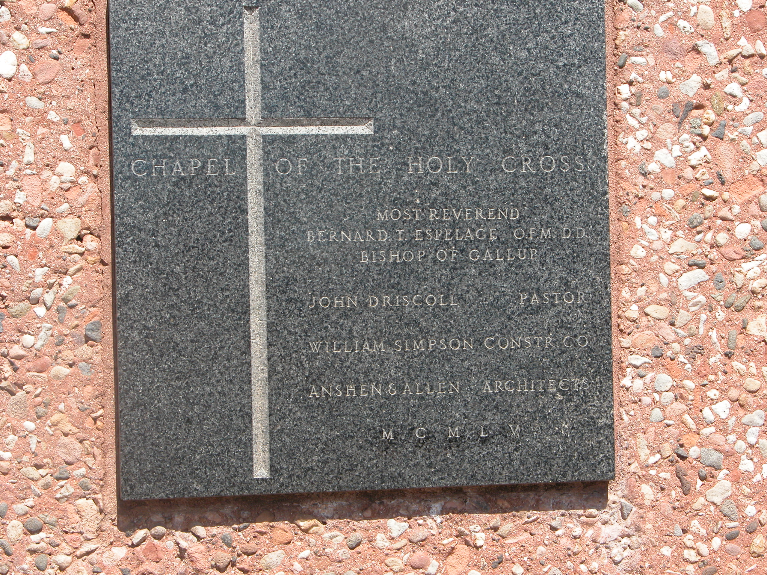
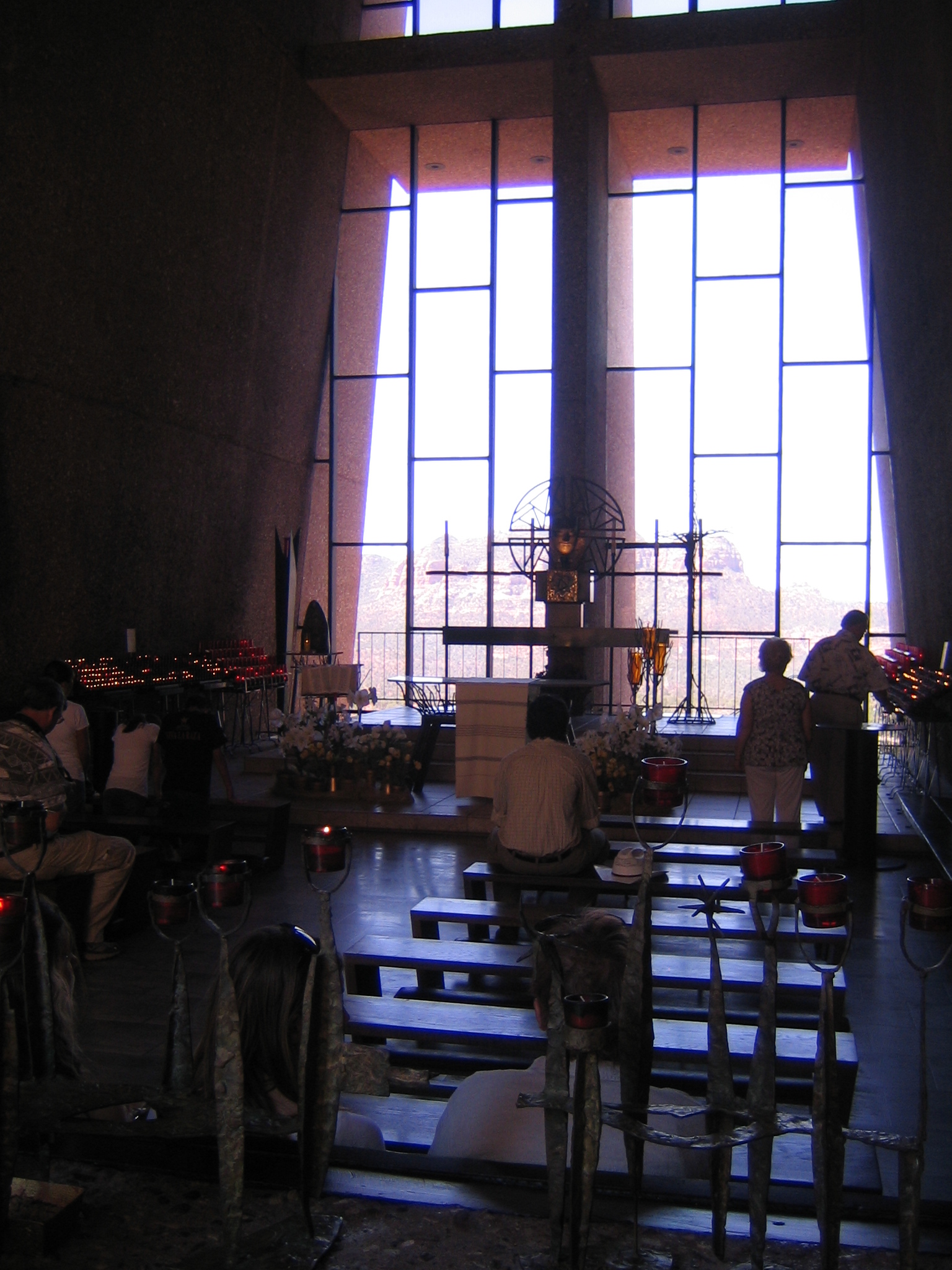
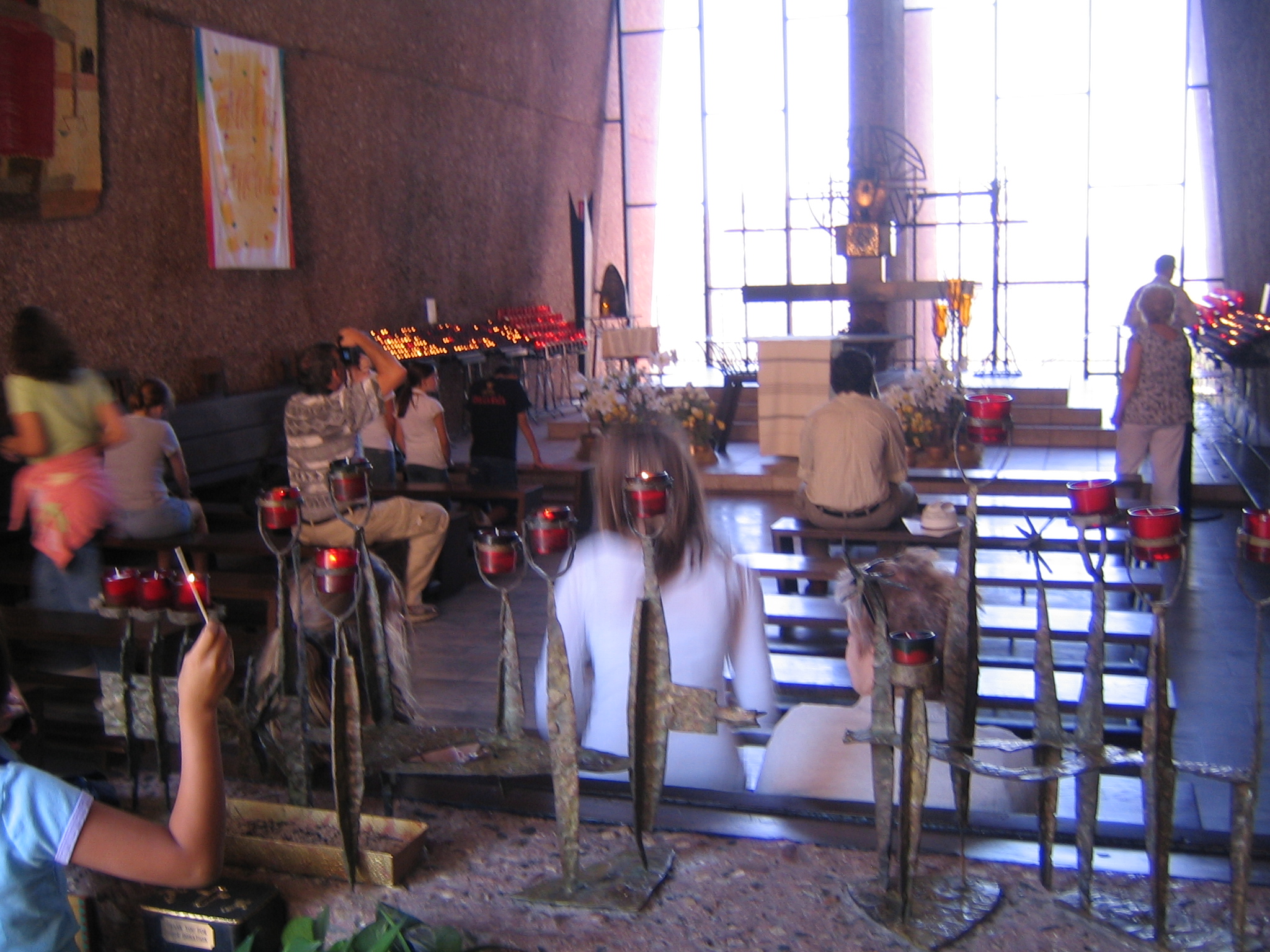
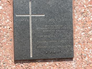
Chapel of the Holy Cross, at night of course.
|
|

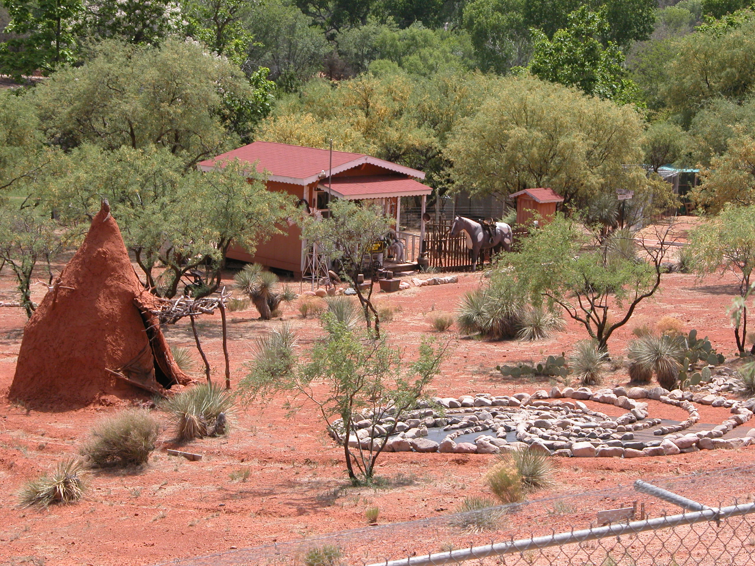
A house with a teepee in the front yard.
|
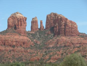
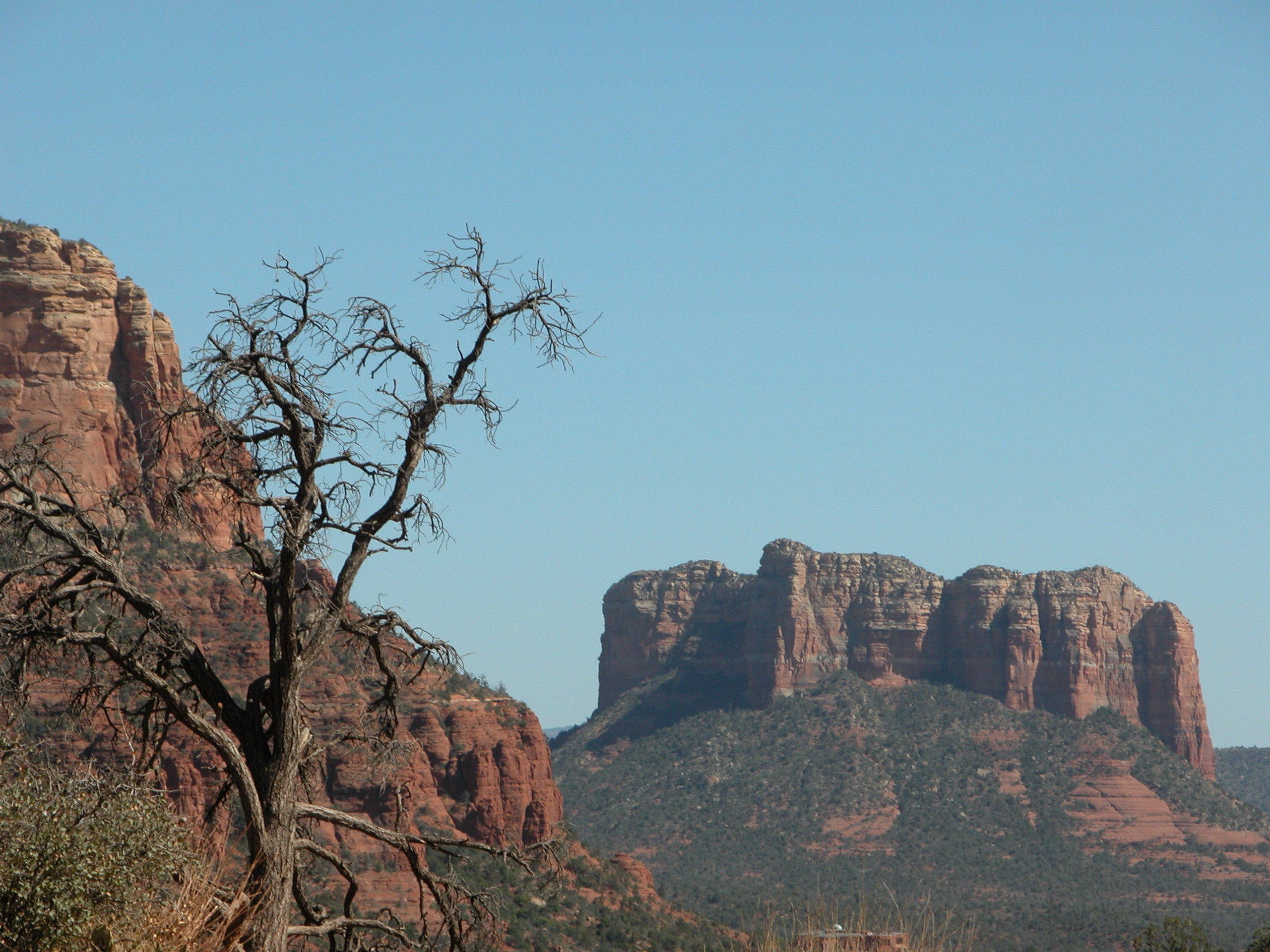
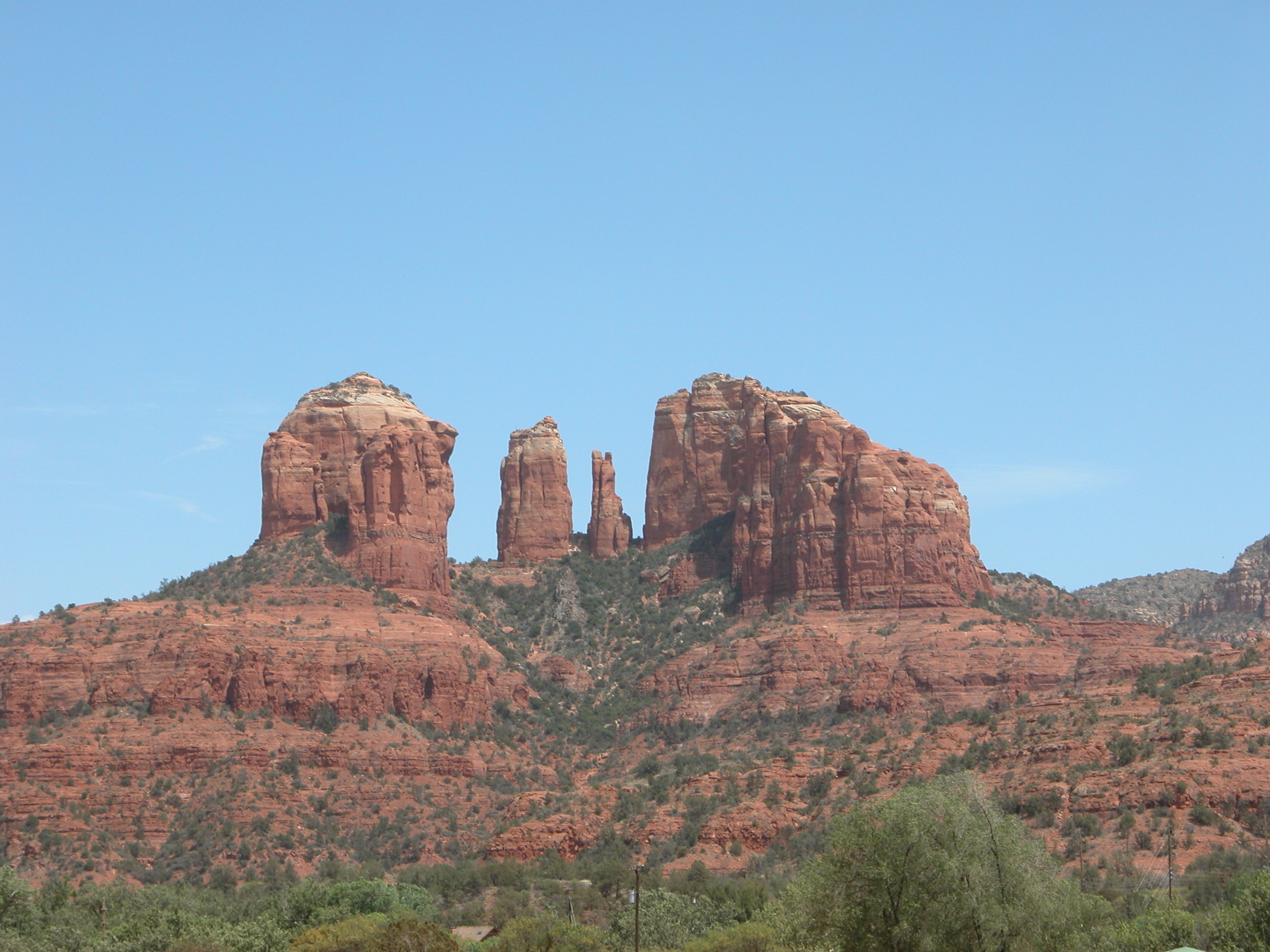
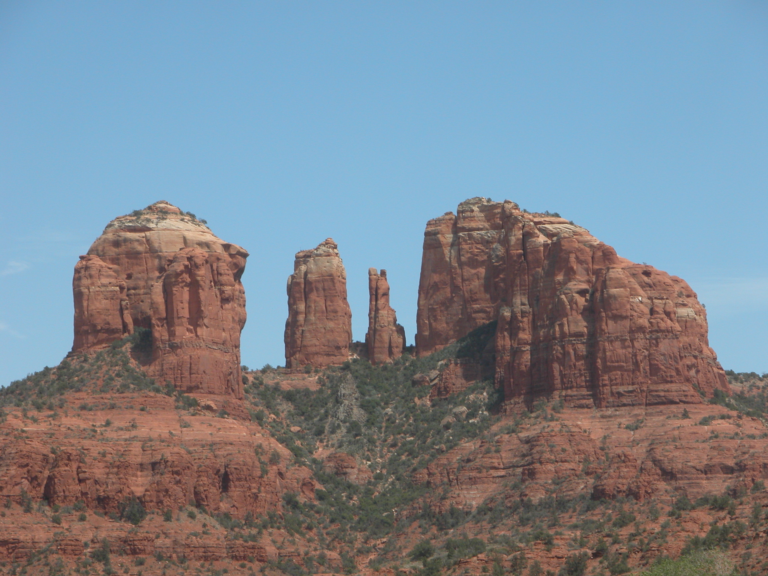
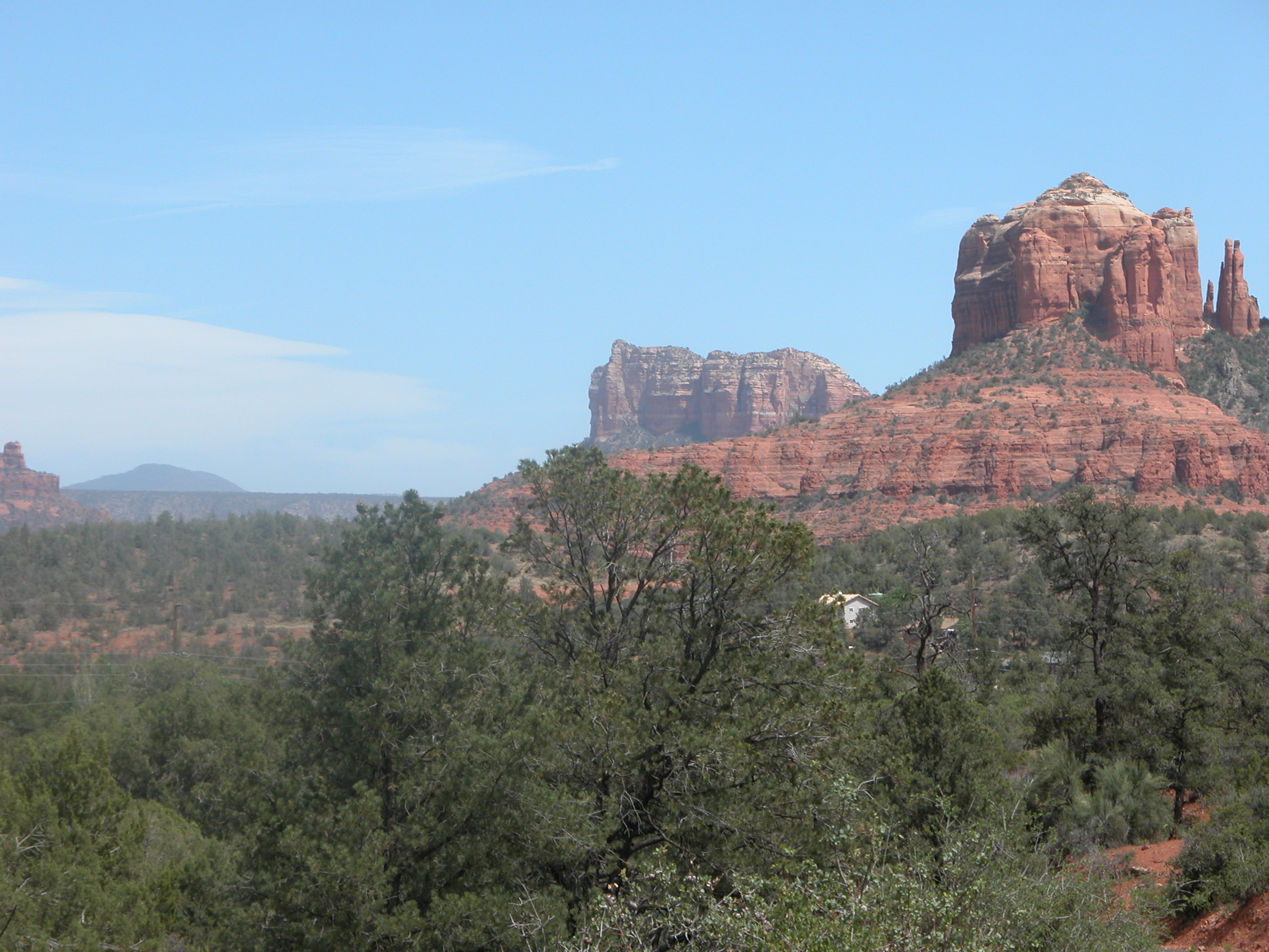
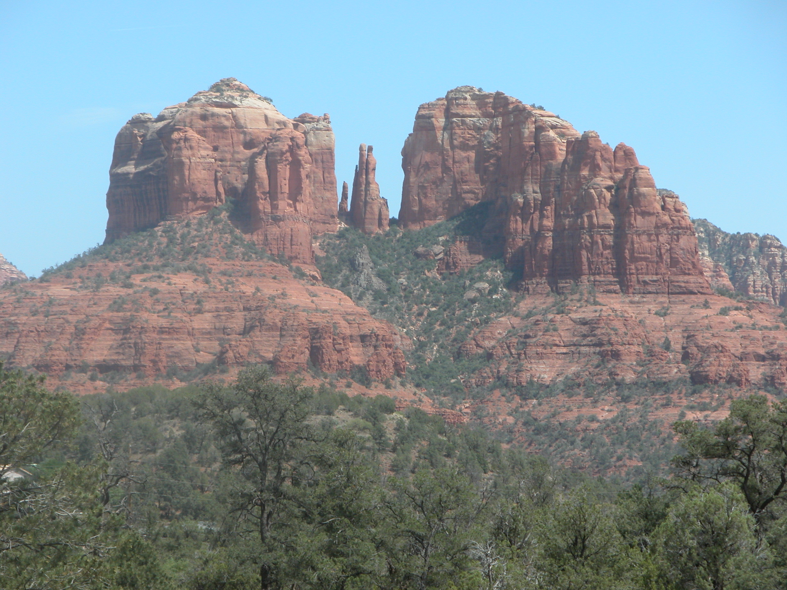
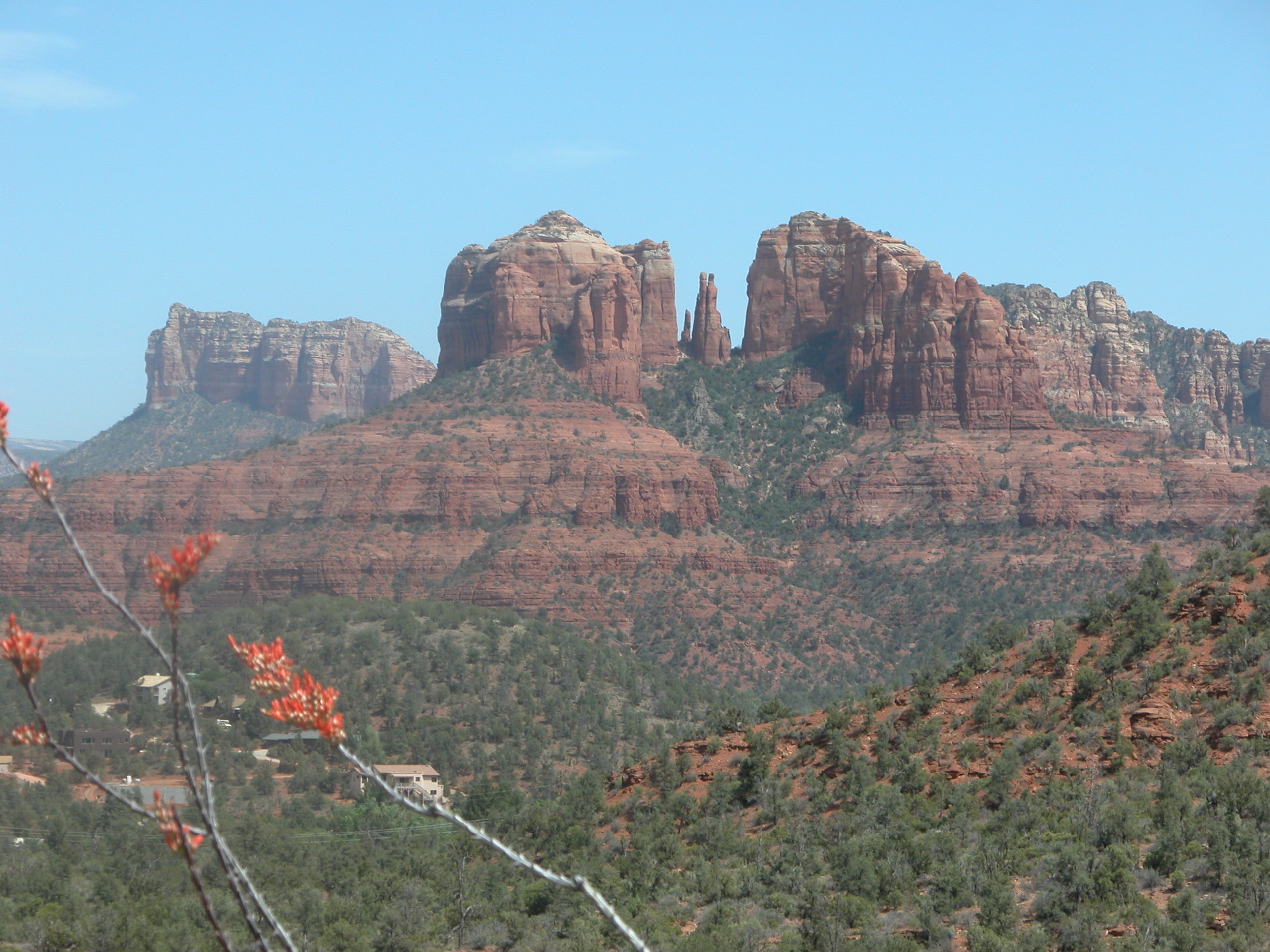
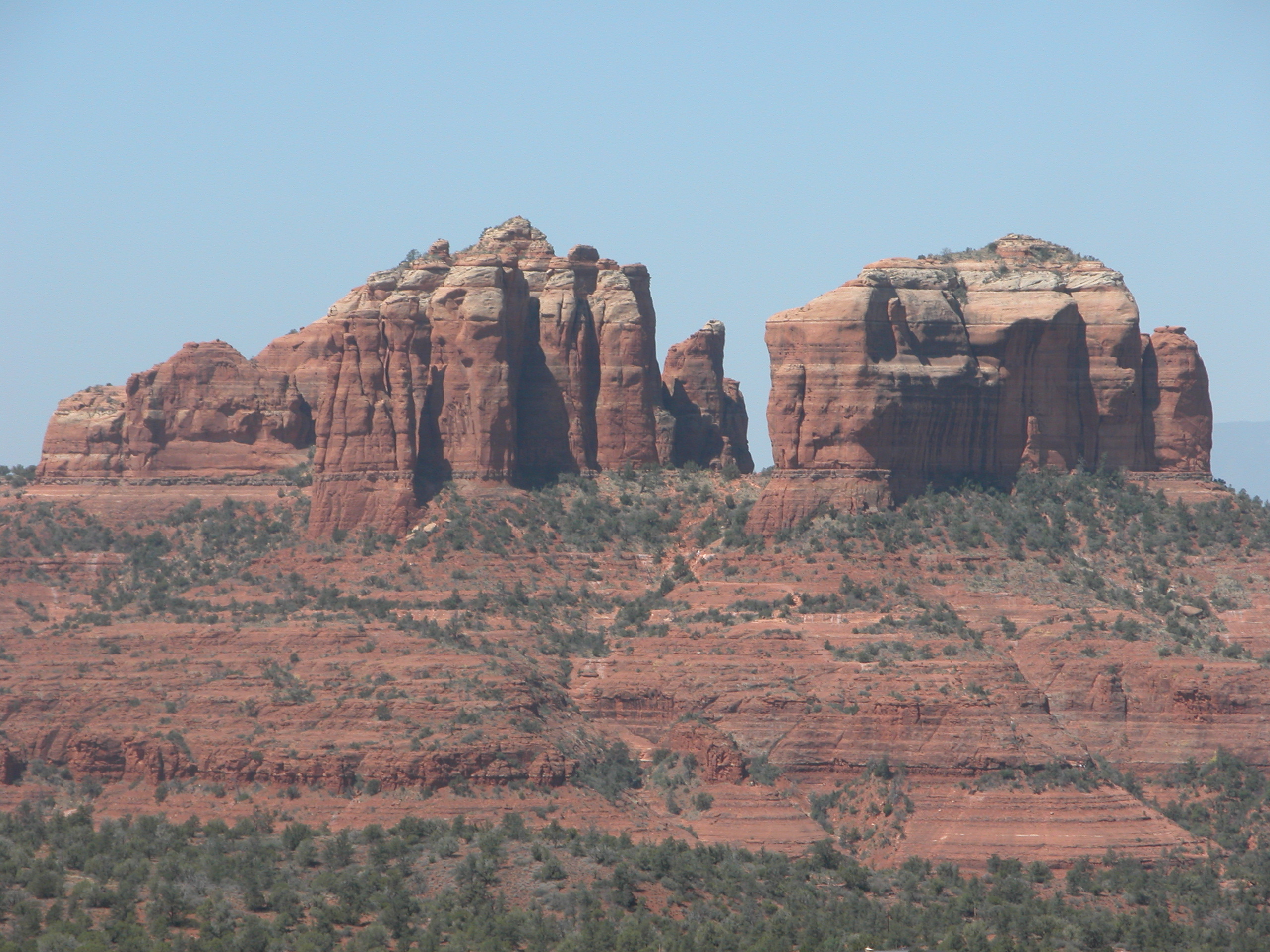
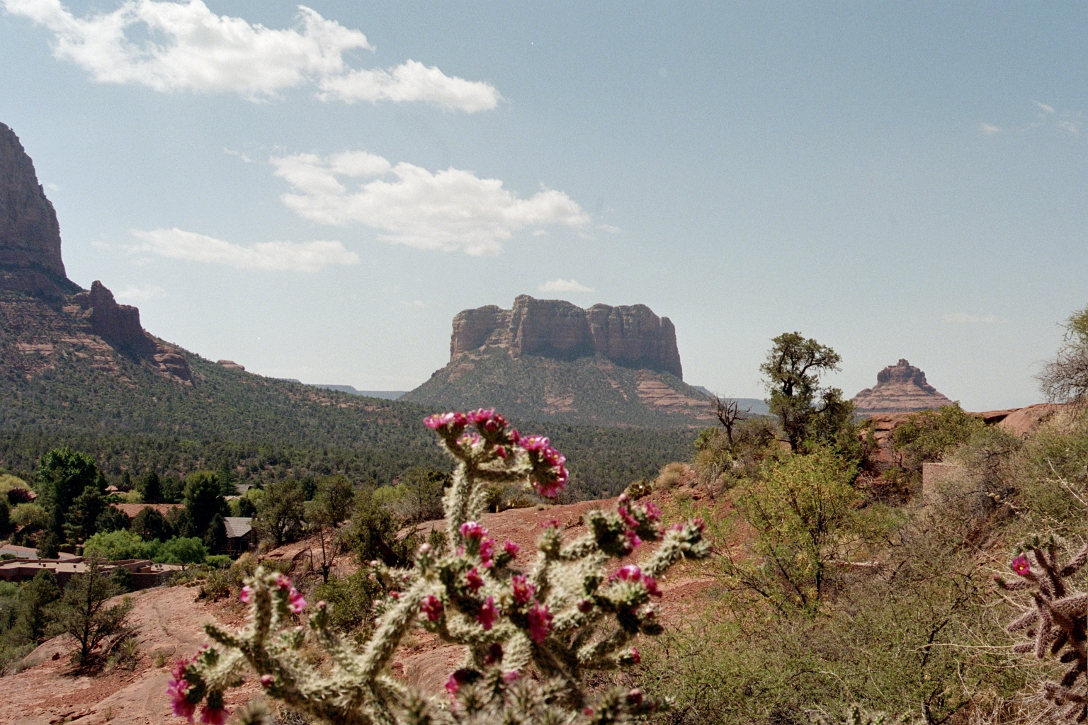
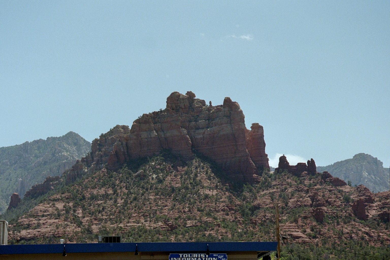
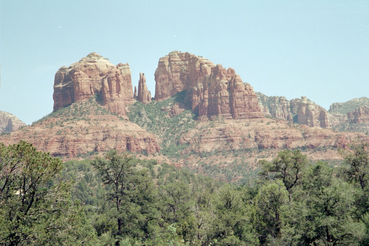
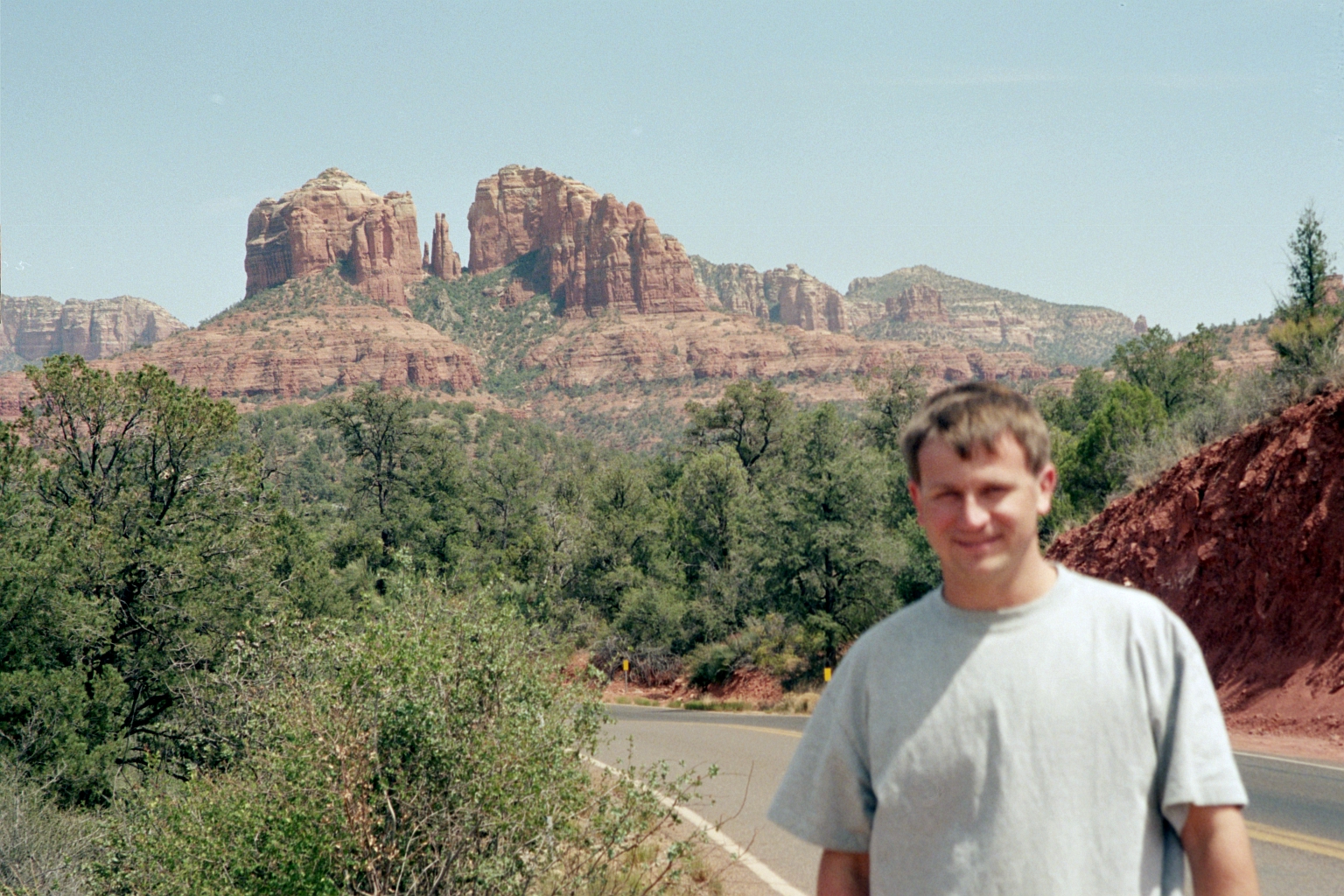
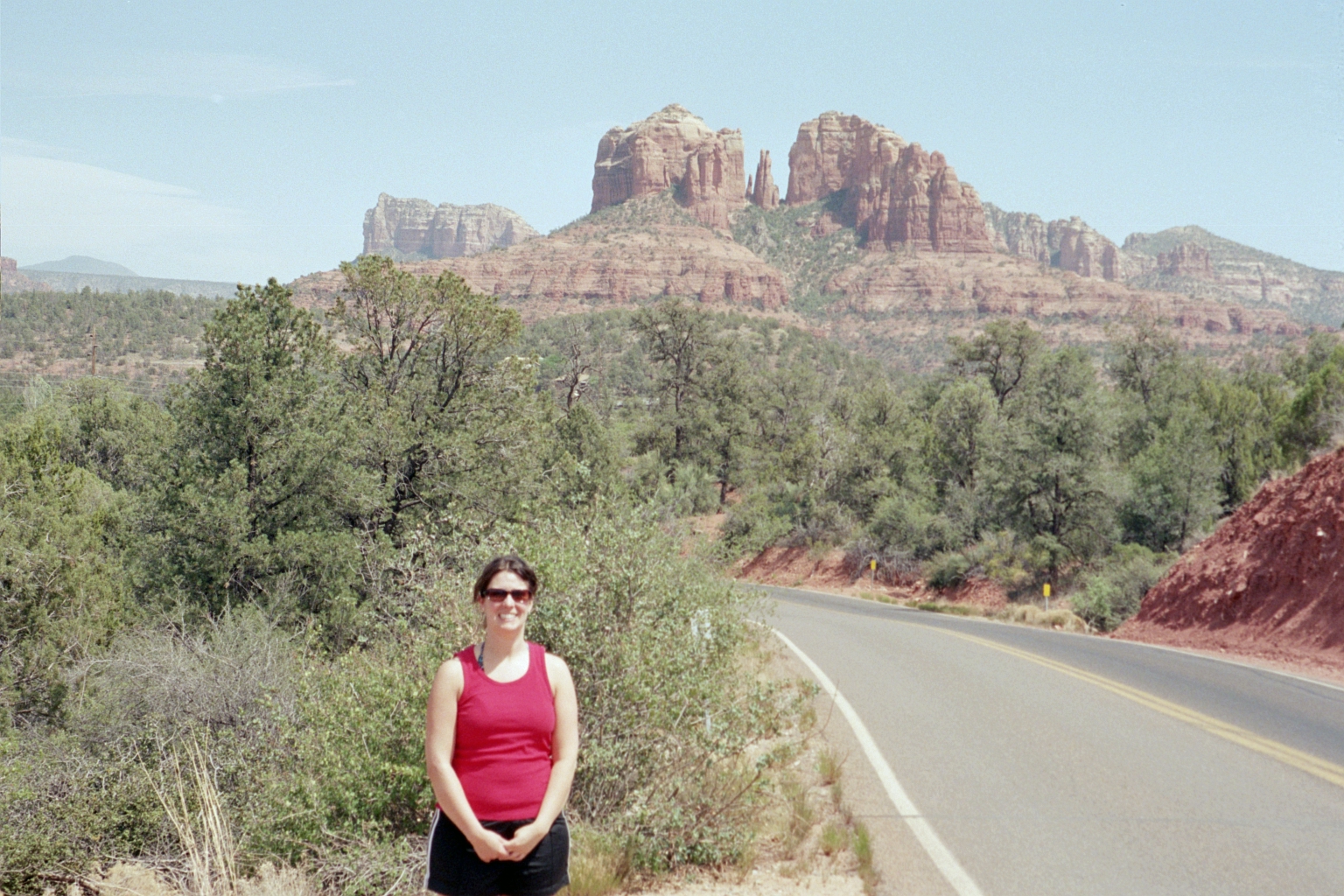
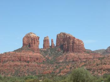
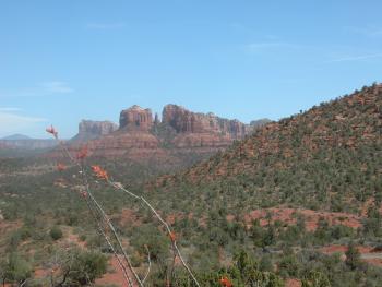
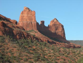
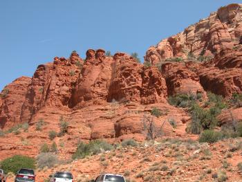
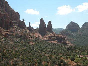
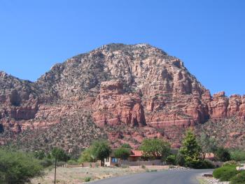
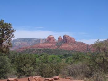
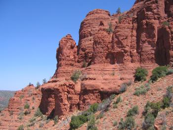
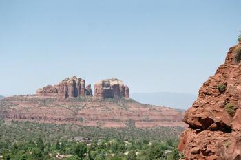
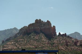
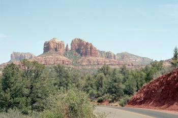
Cathedral Rocks
|
|
|

|
|
|
|
|
|

|
|
|
|
|

|
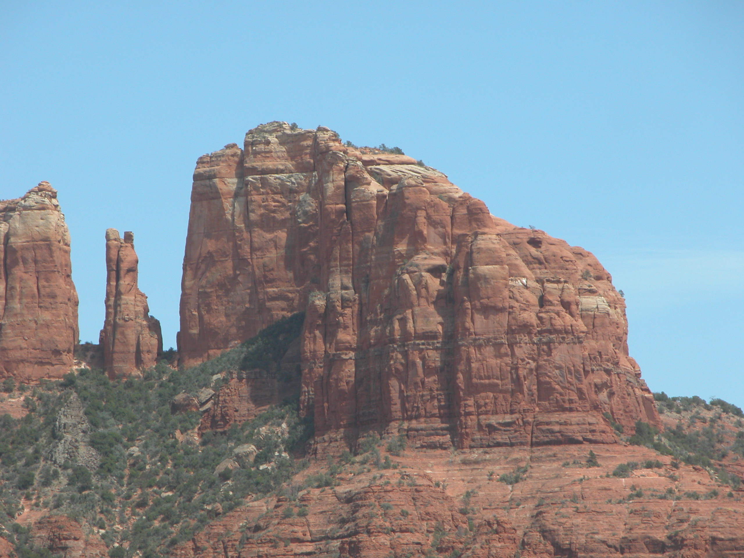
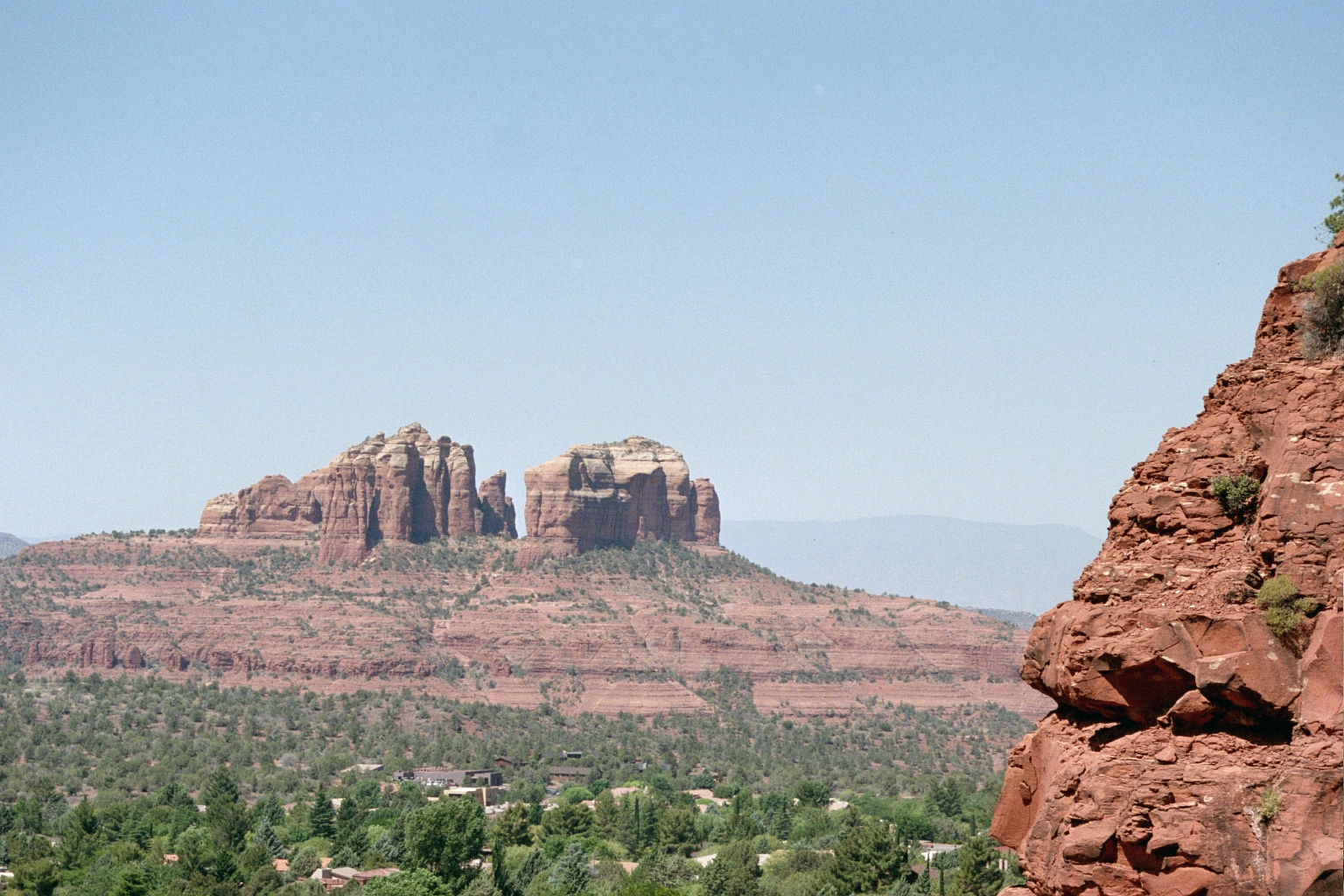
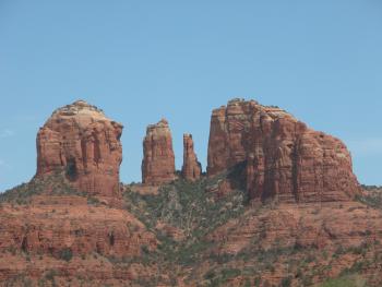
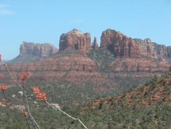
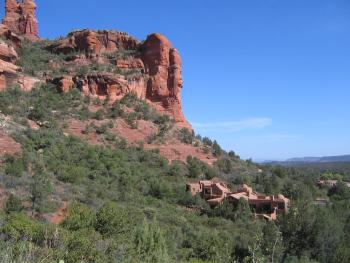
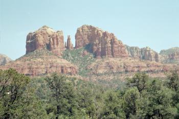
Cathedral Rocks from a different angle. We went hiking out in the middle of nowhere.
|
|
|
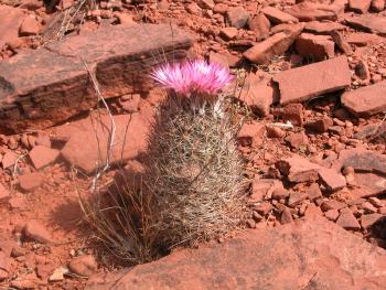
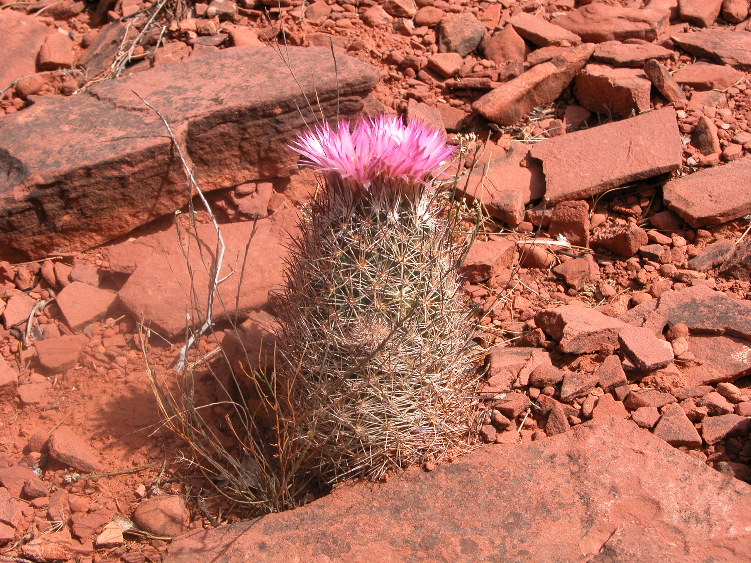
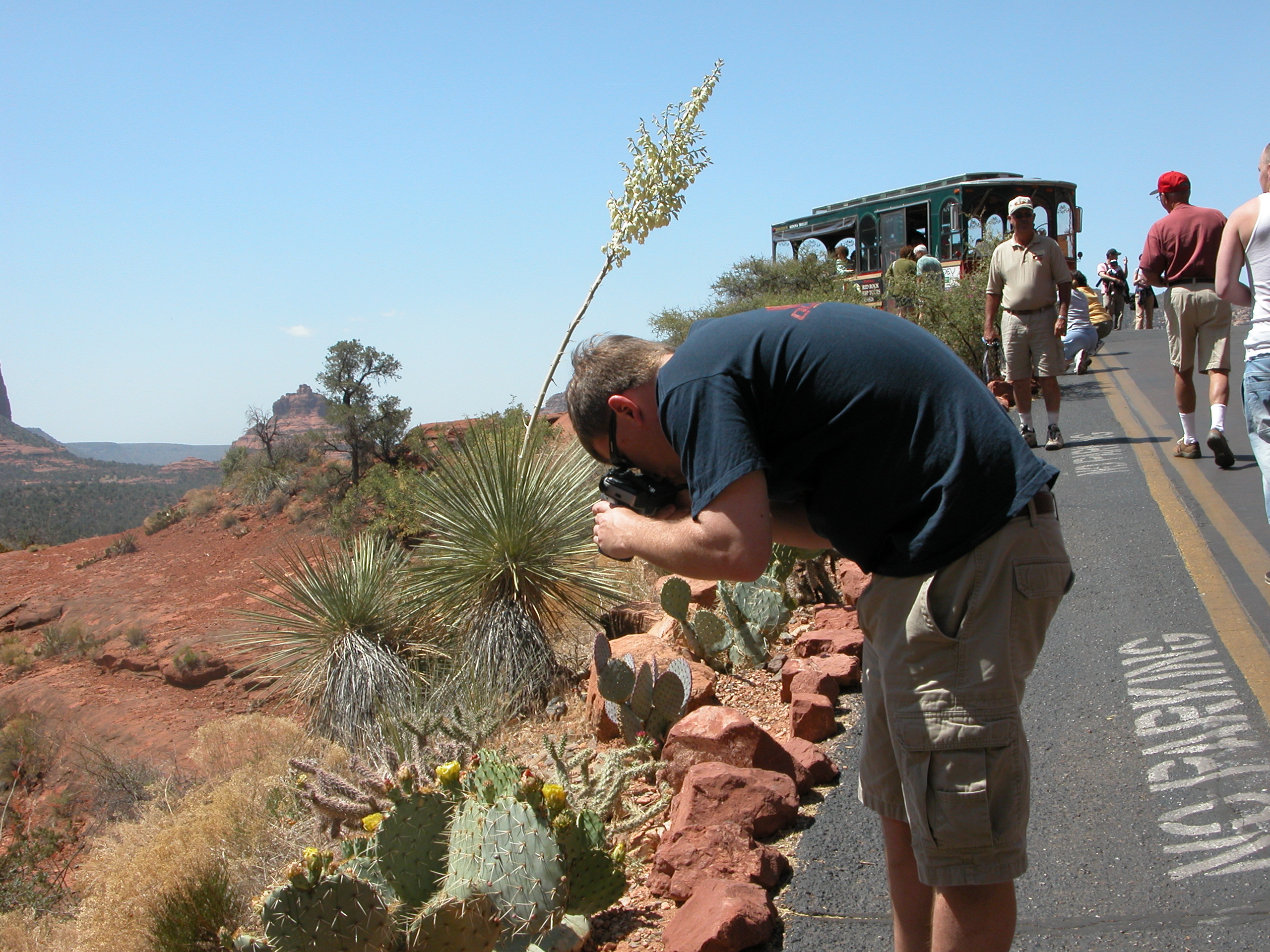
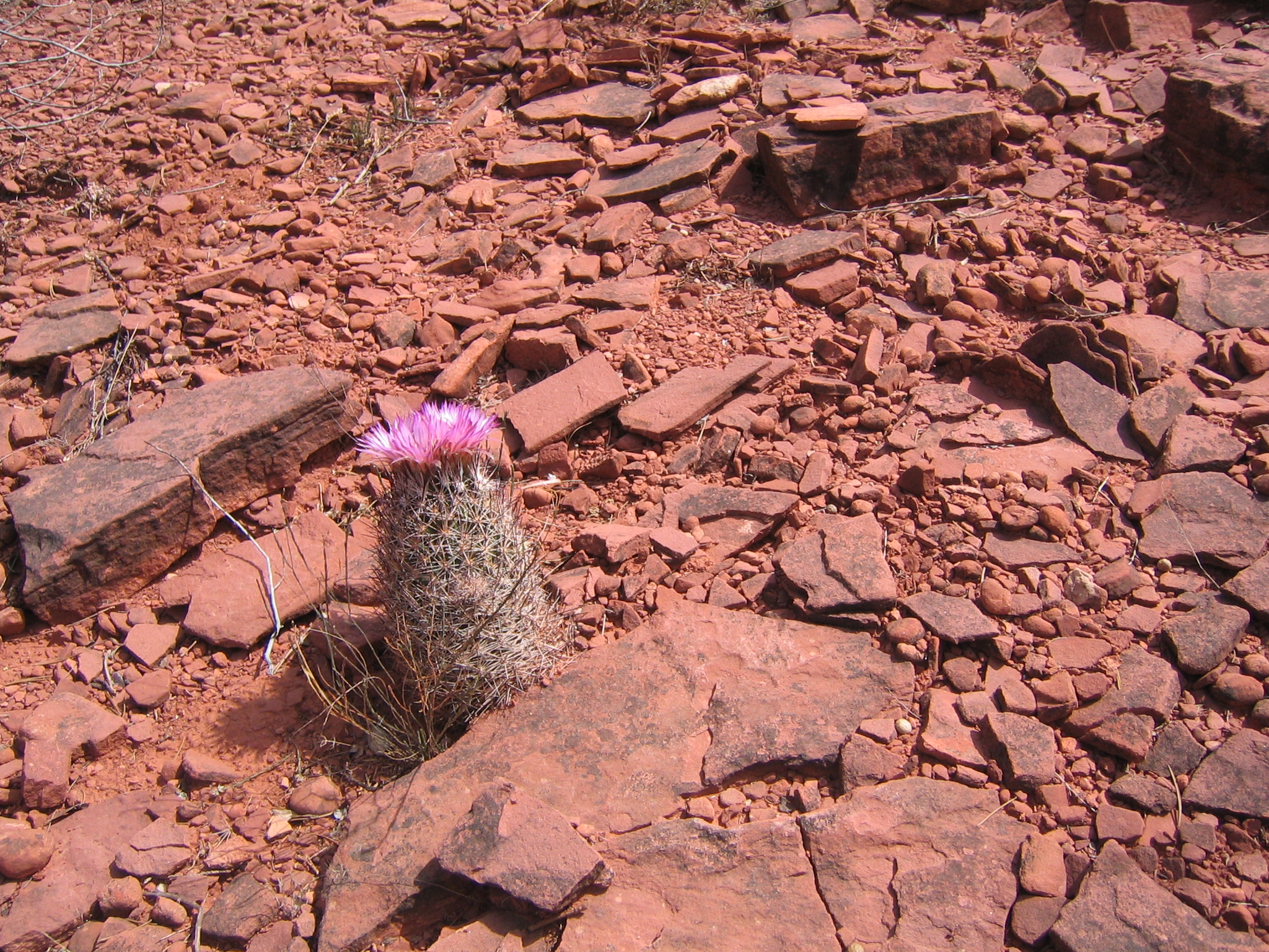
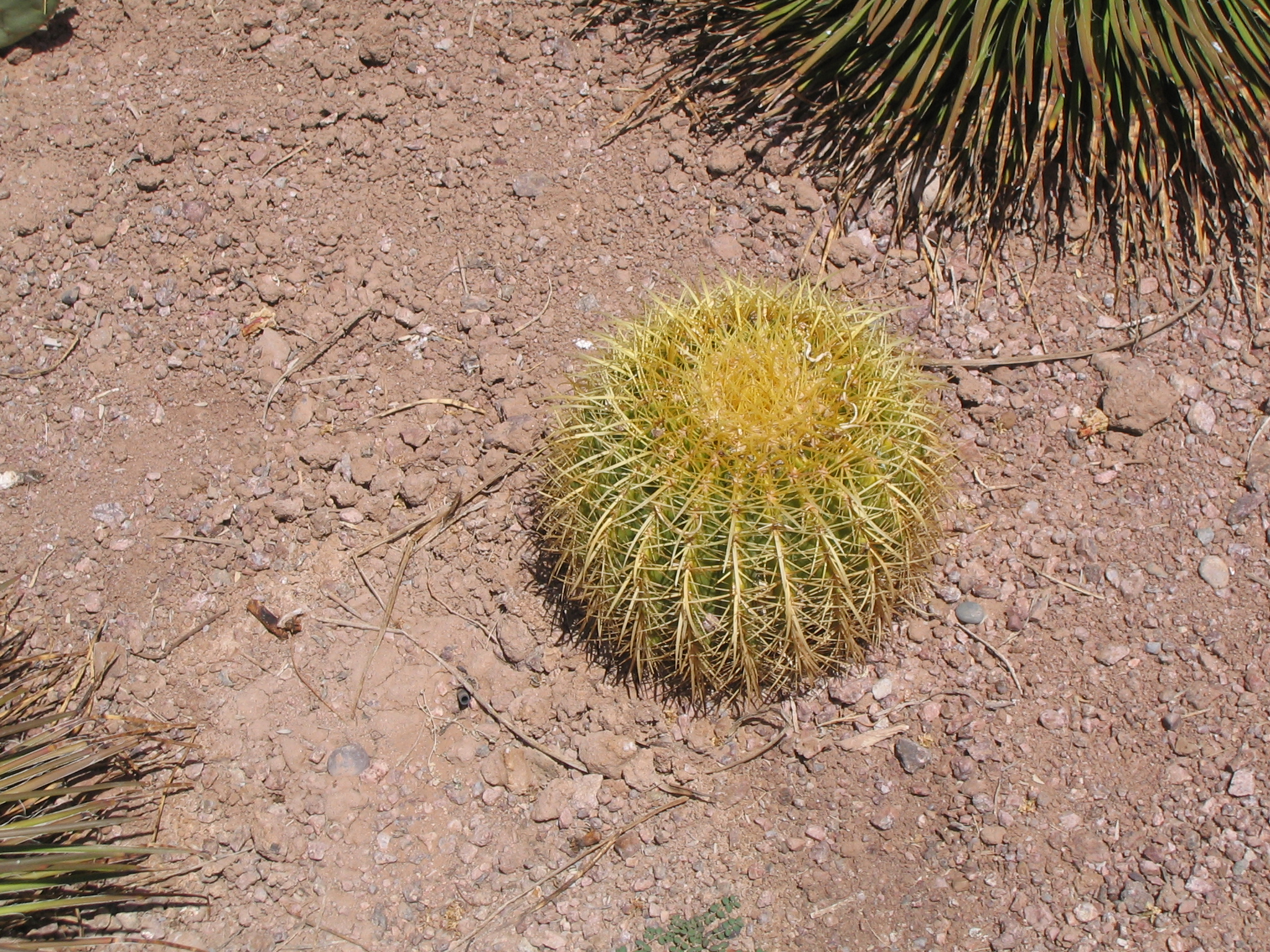
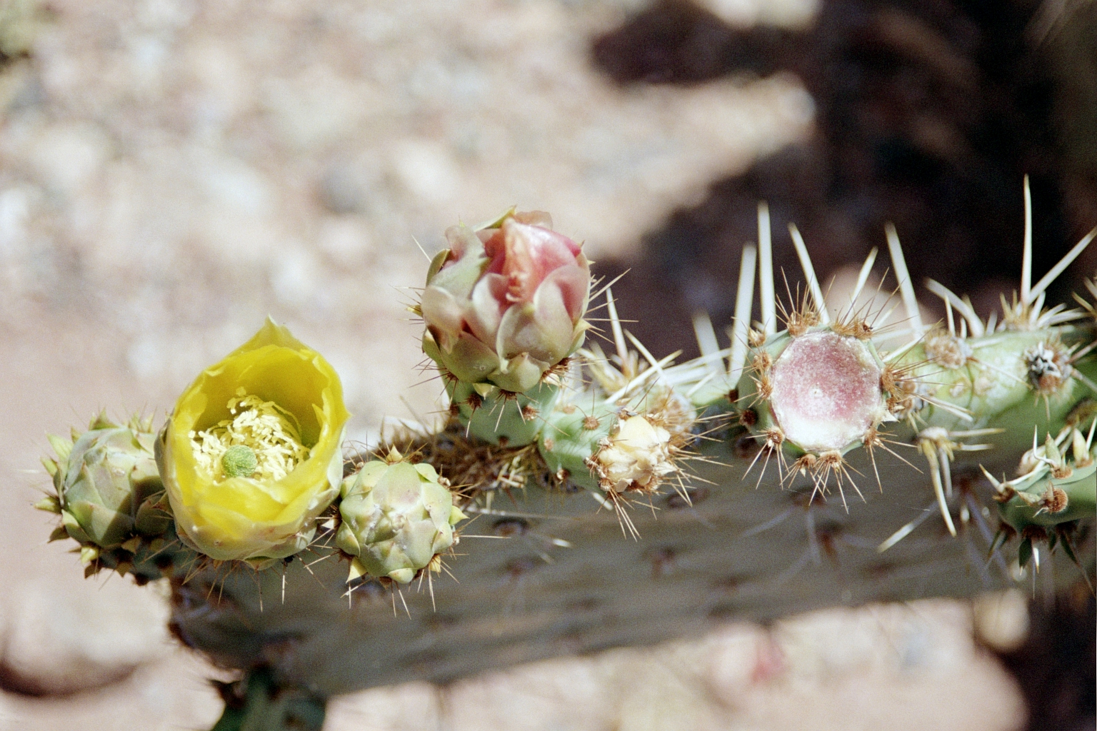
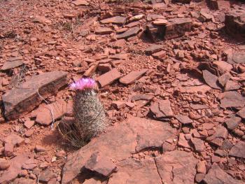
A cactus flower
|
|

|
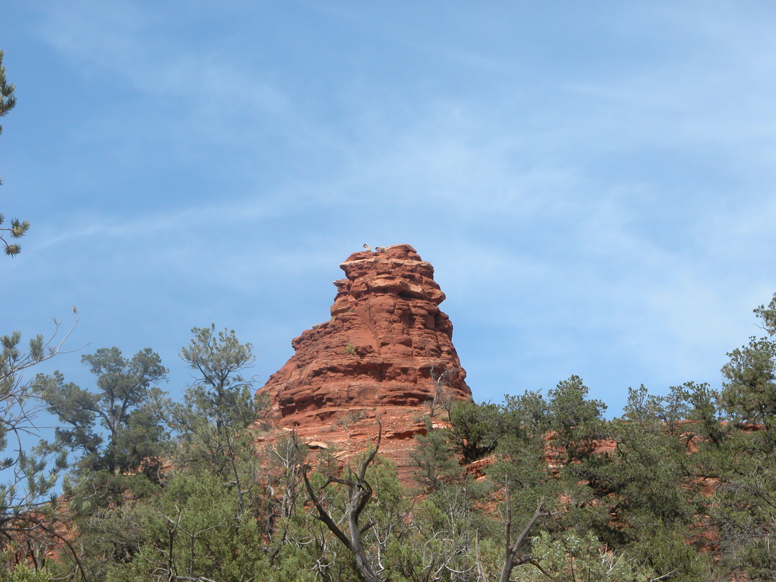
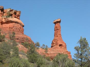
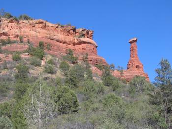
One of the trails we didn't take led you to the base of this rock. If you look closely, you can see people on the top.
|
|
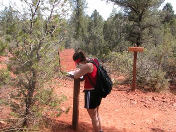
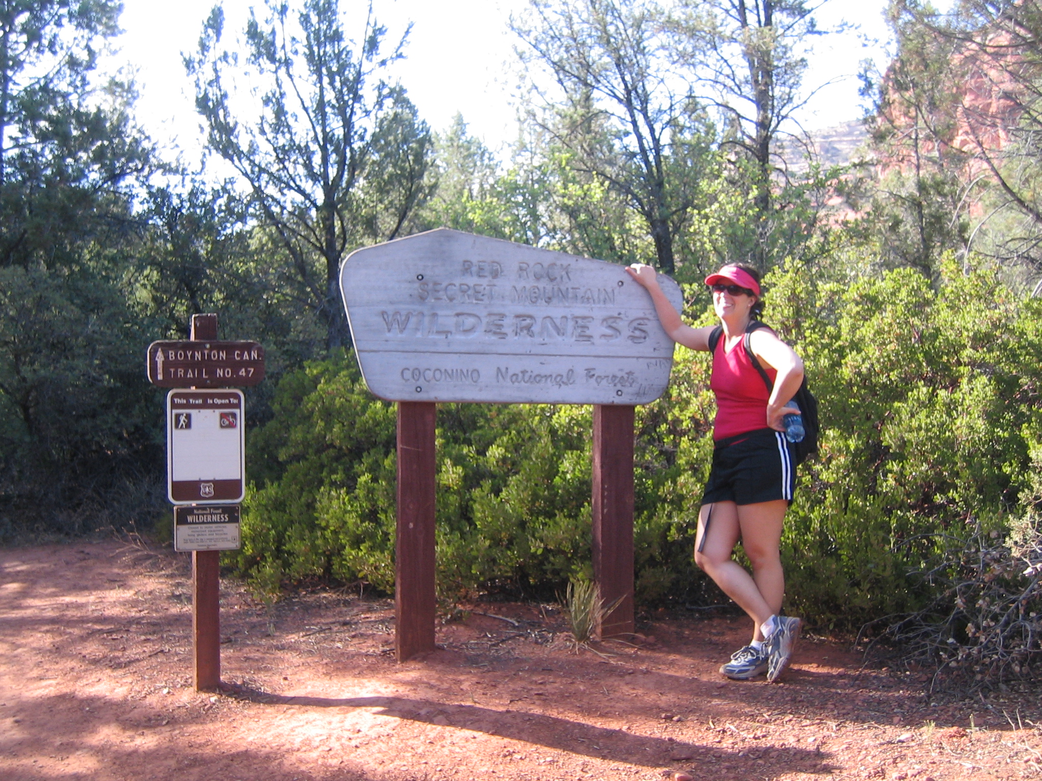
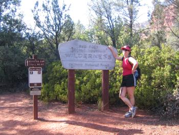
Kristen fills out the visitor log.
|

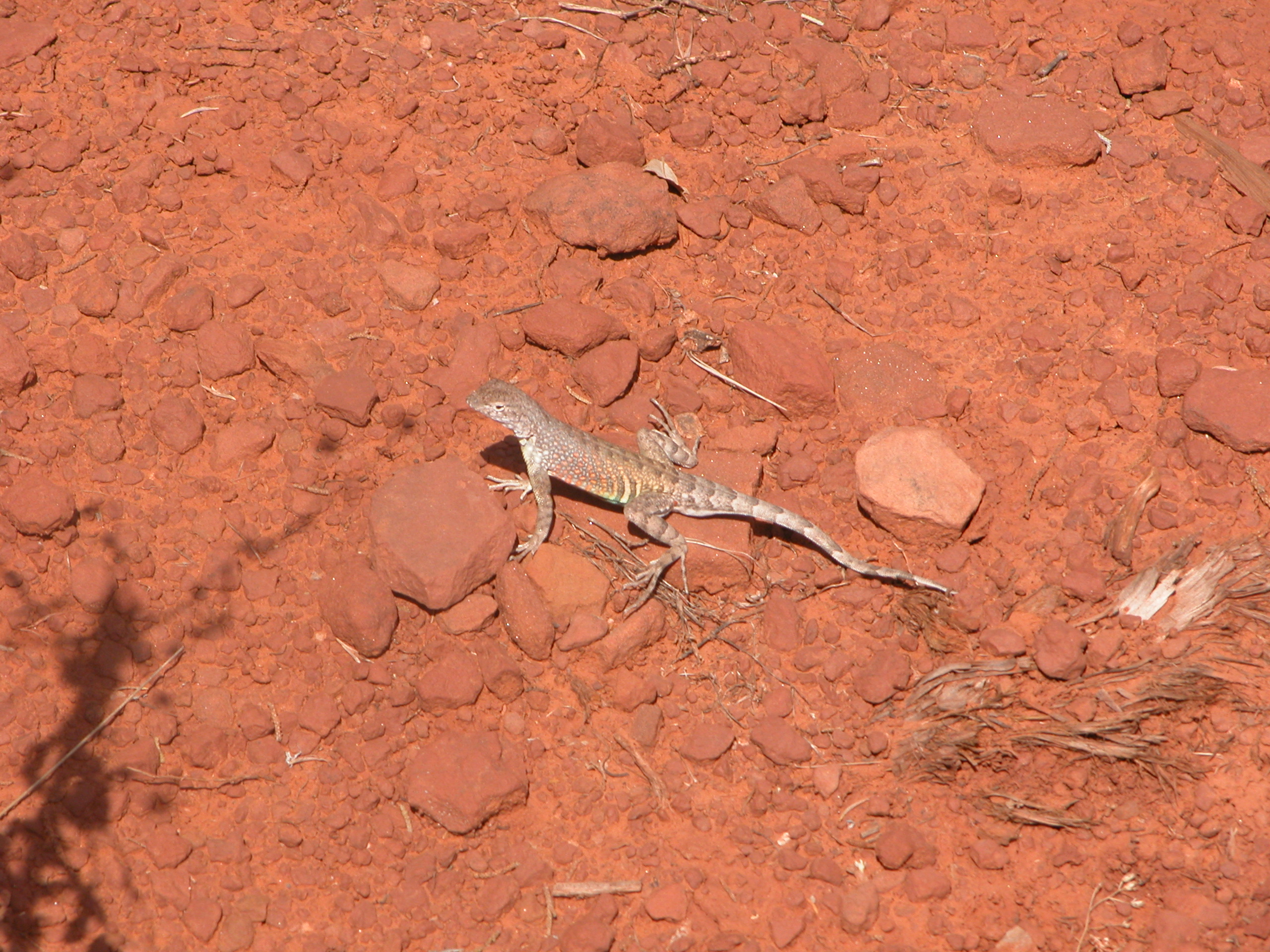
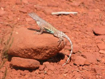
A lizard along the hiking trail.
|
|
|
|
|
|
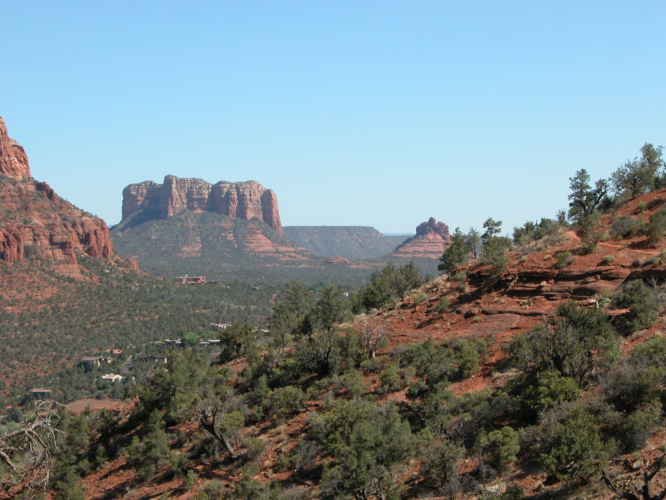
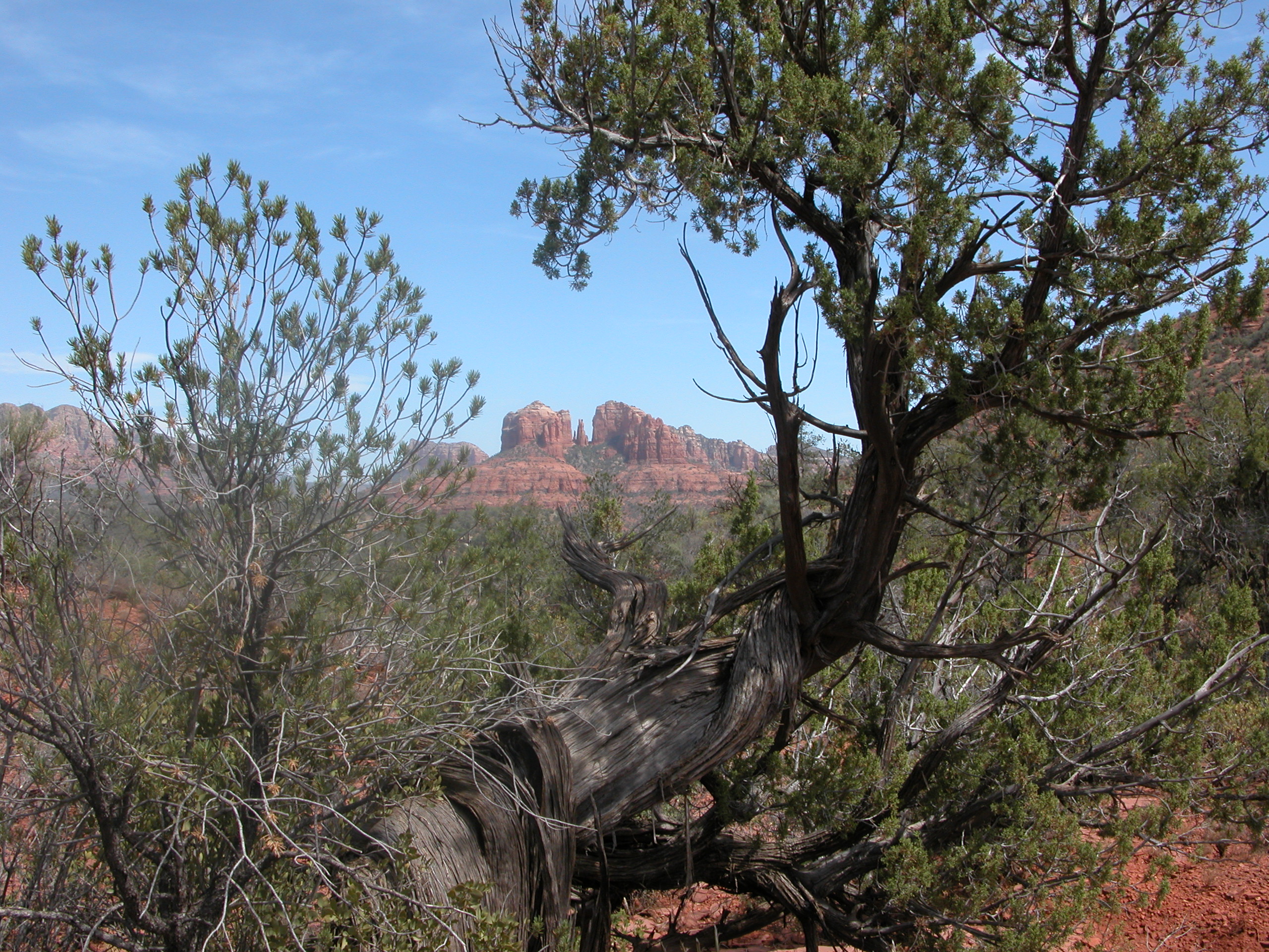
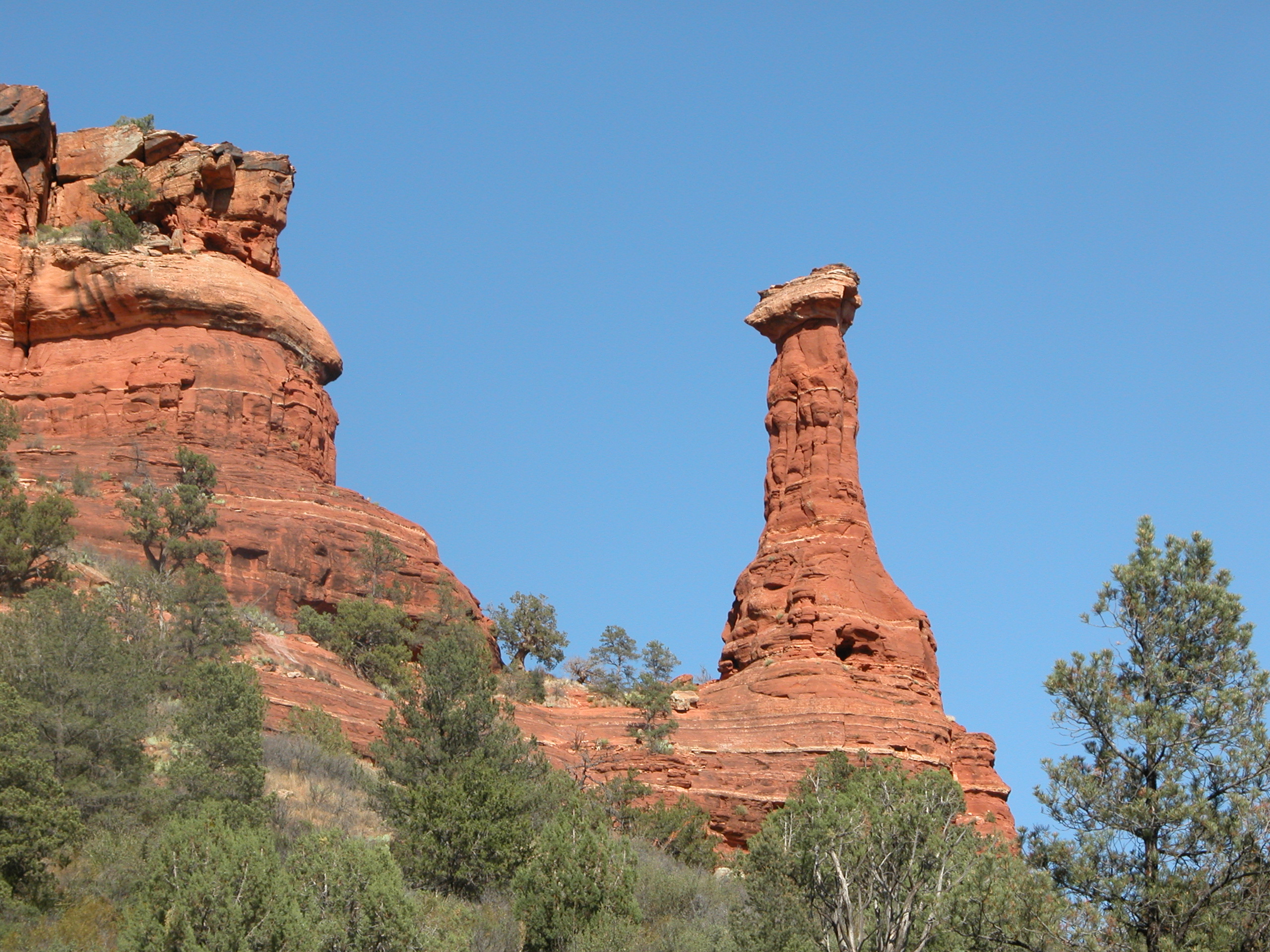
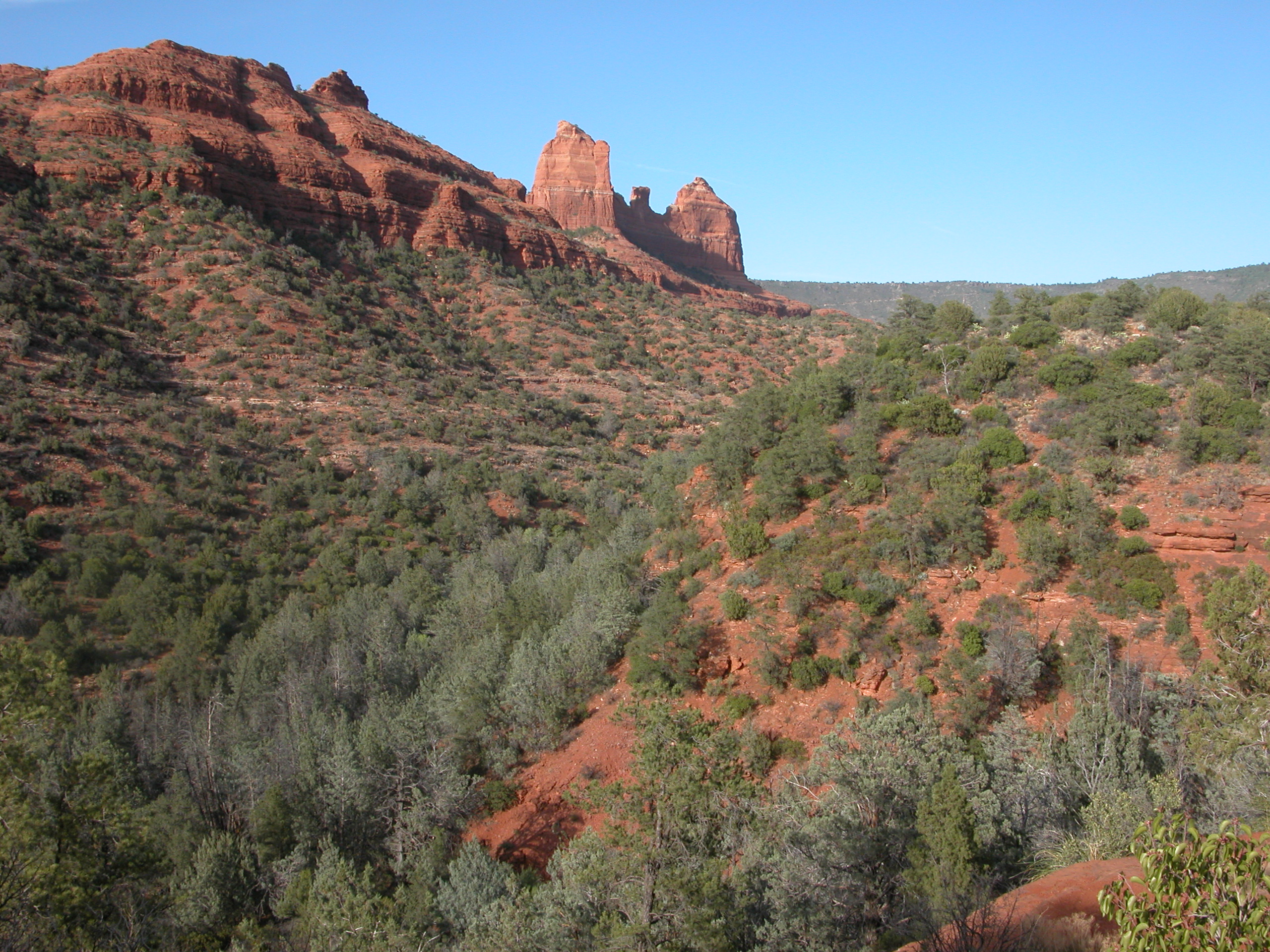
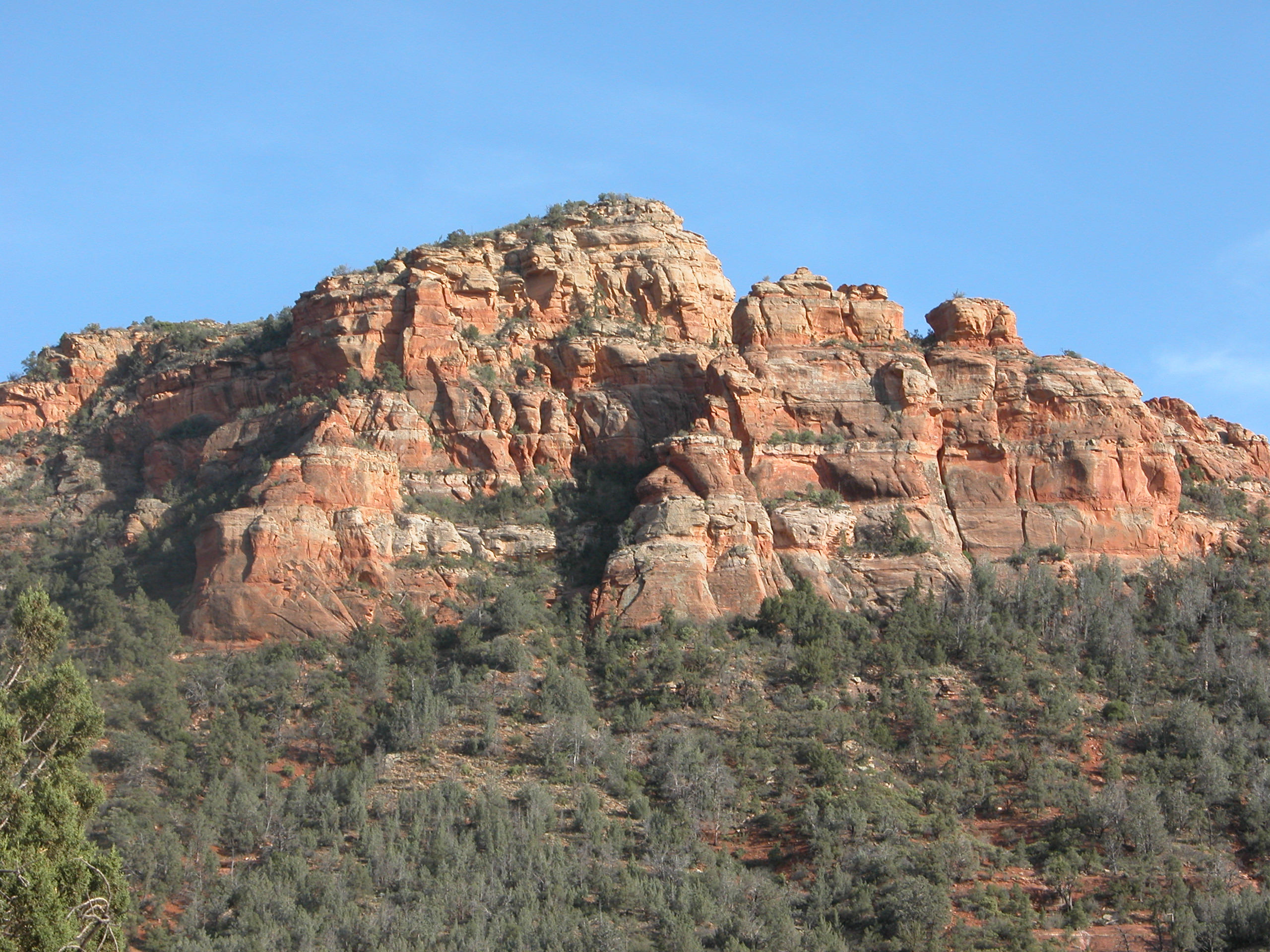
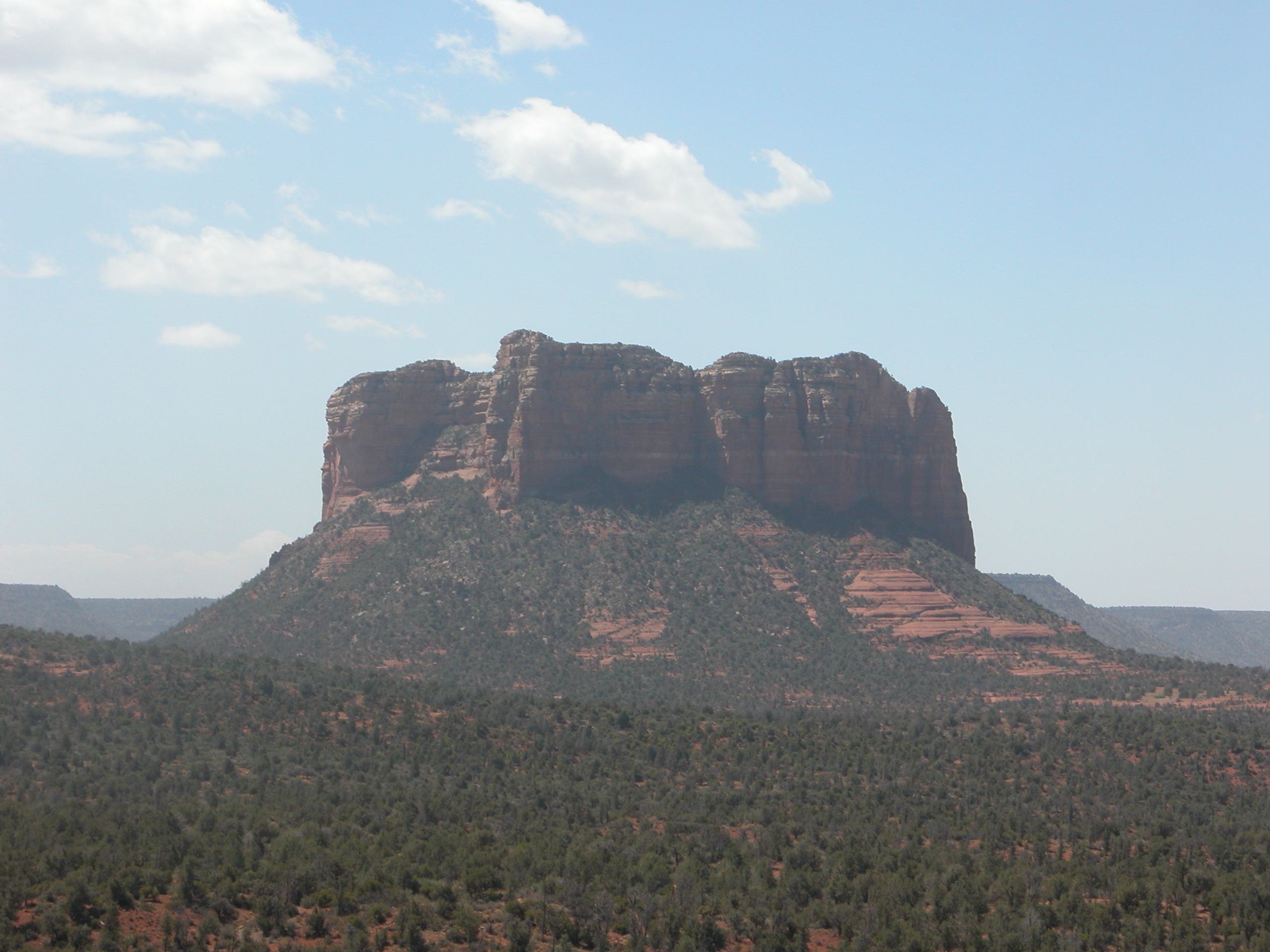
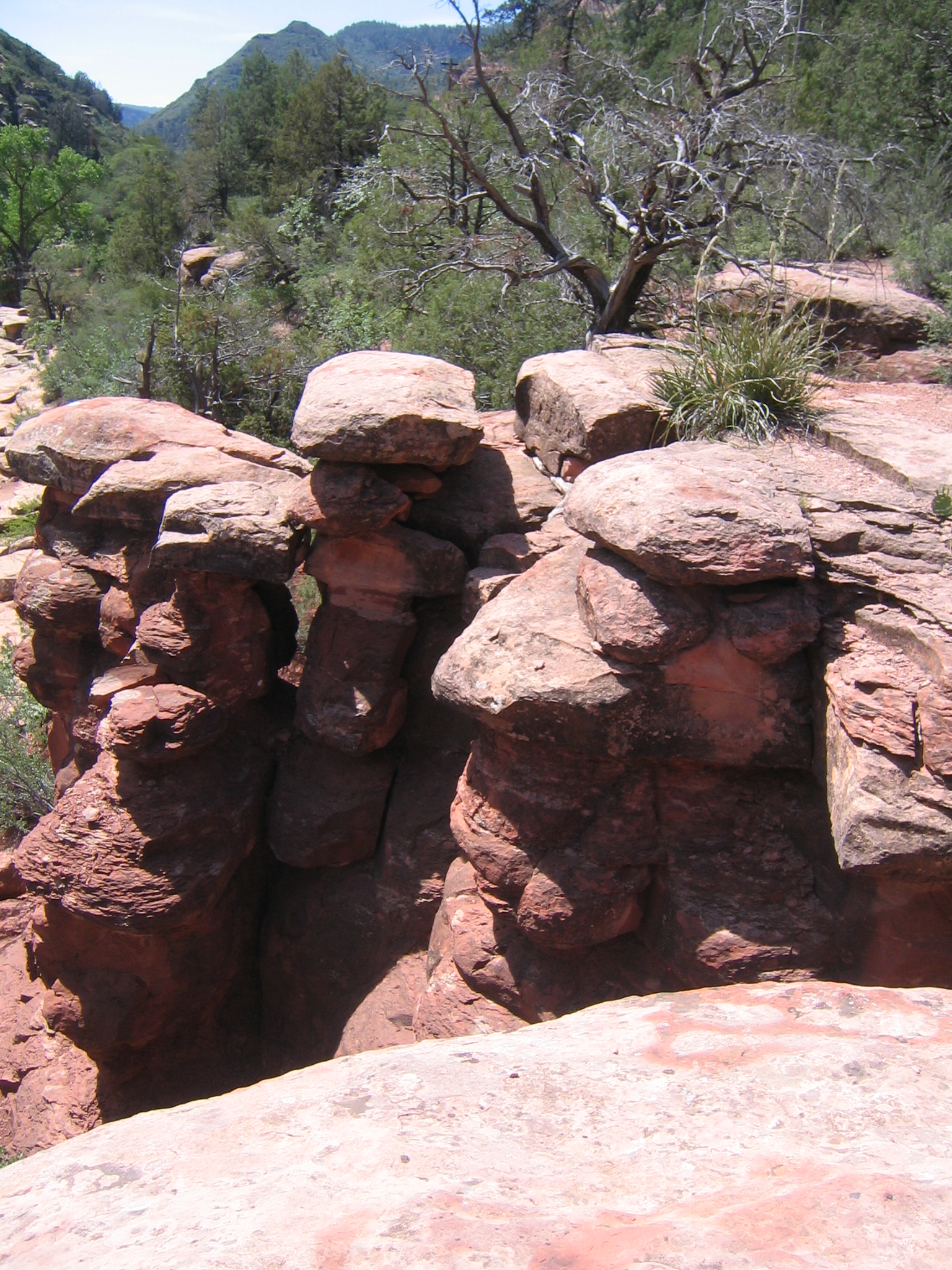
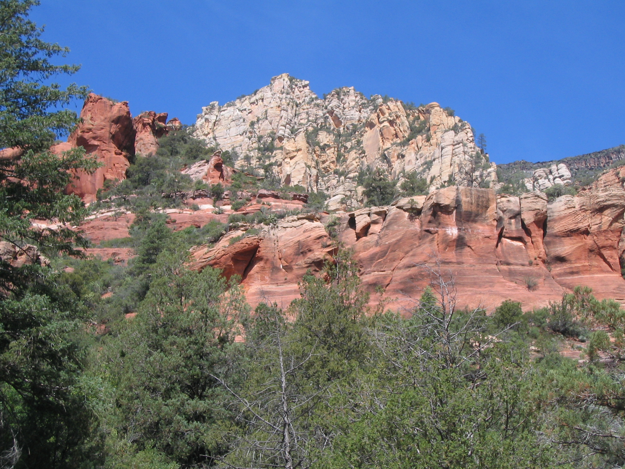
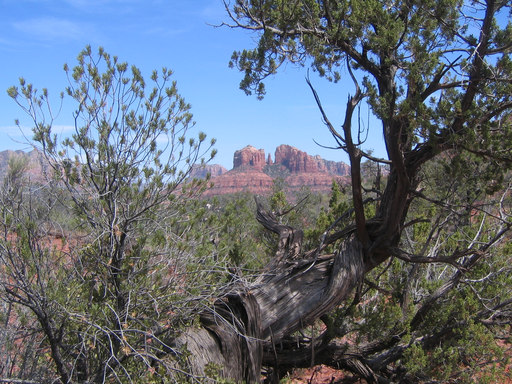
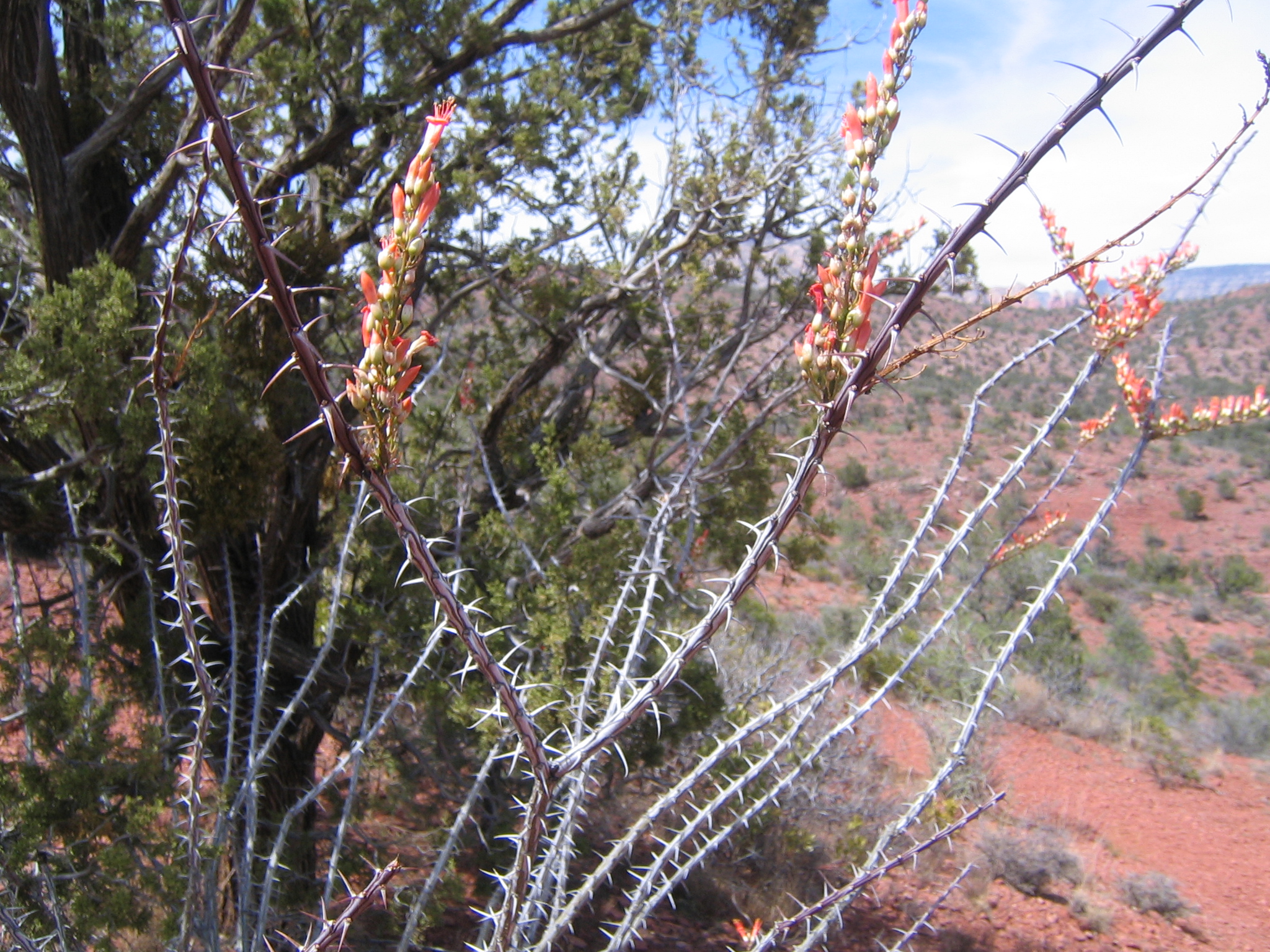
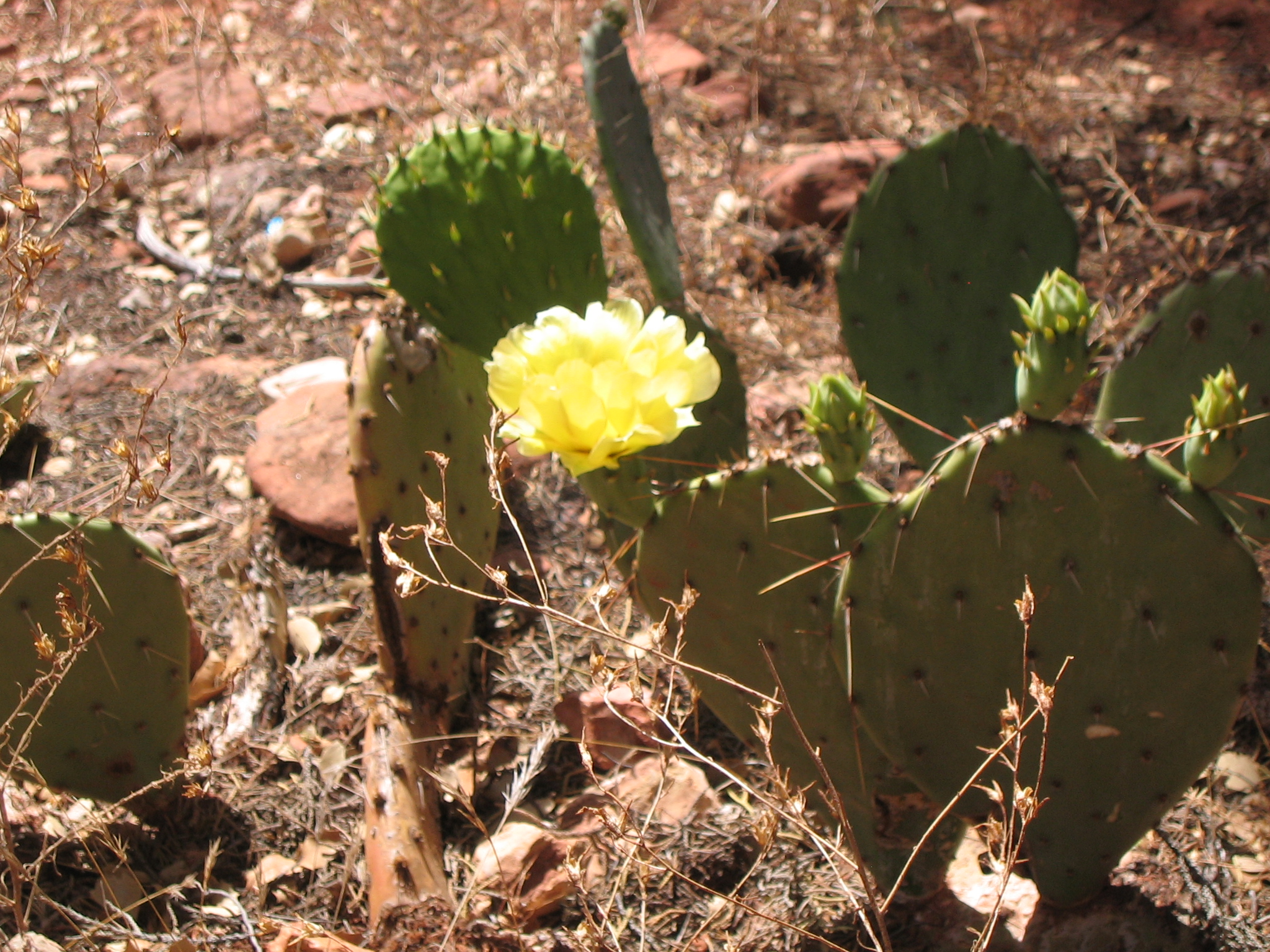
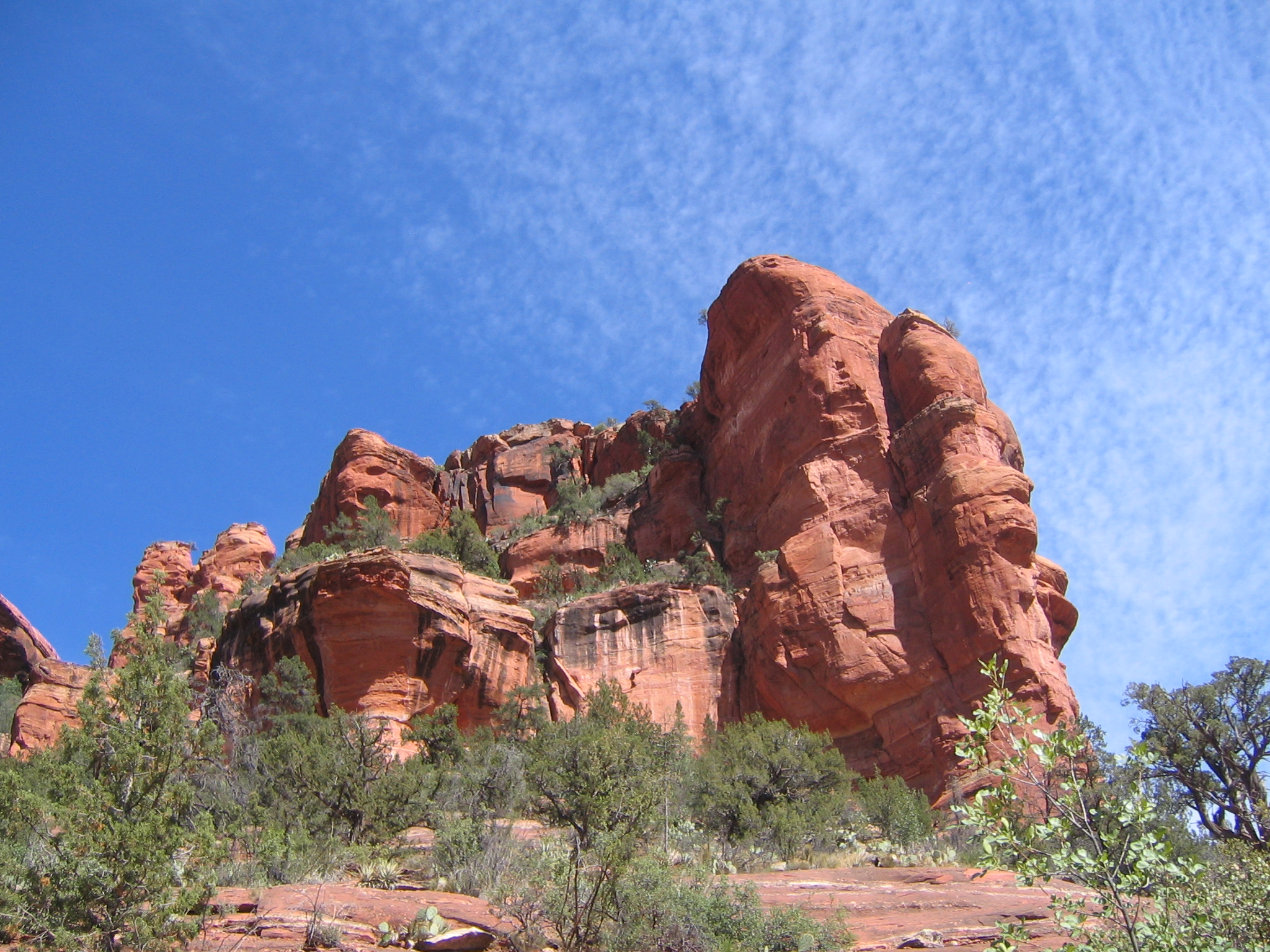
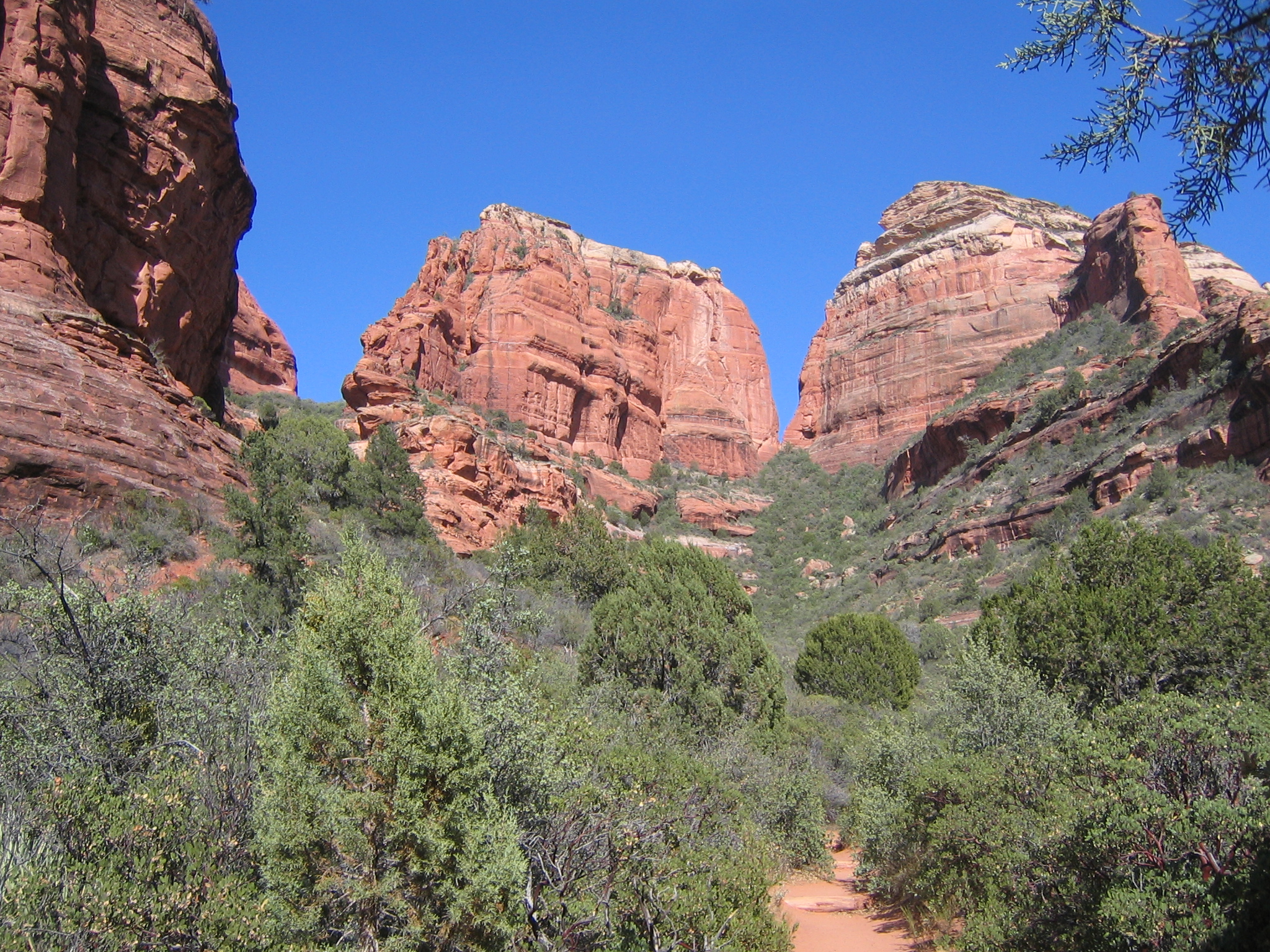
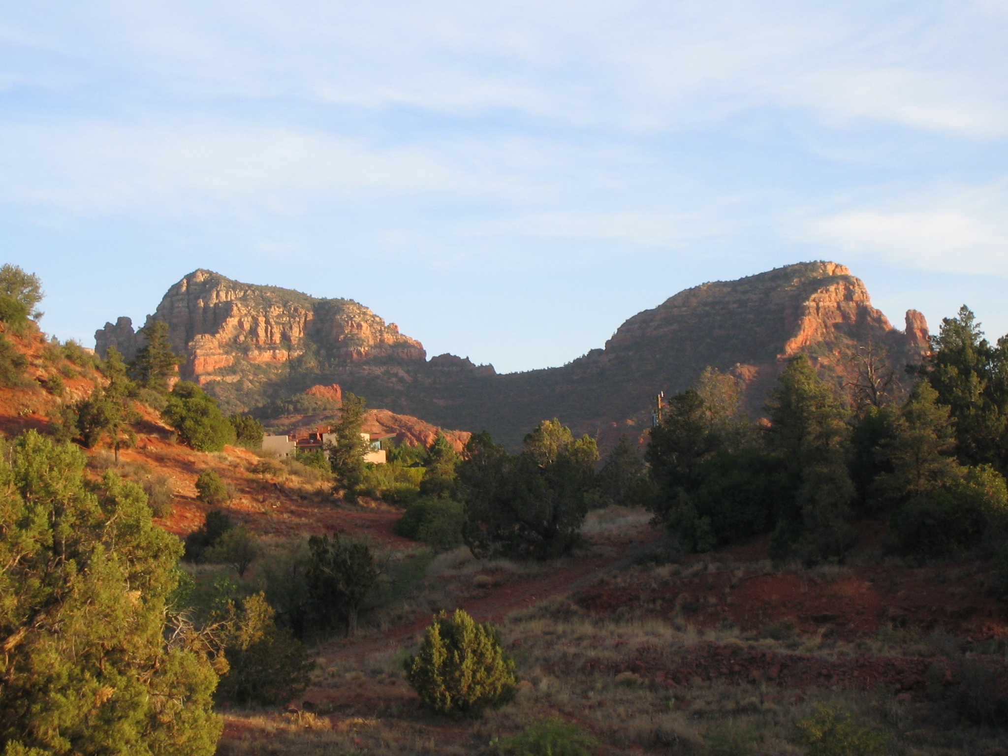
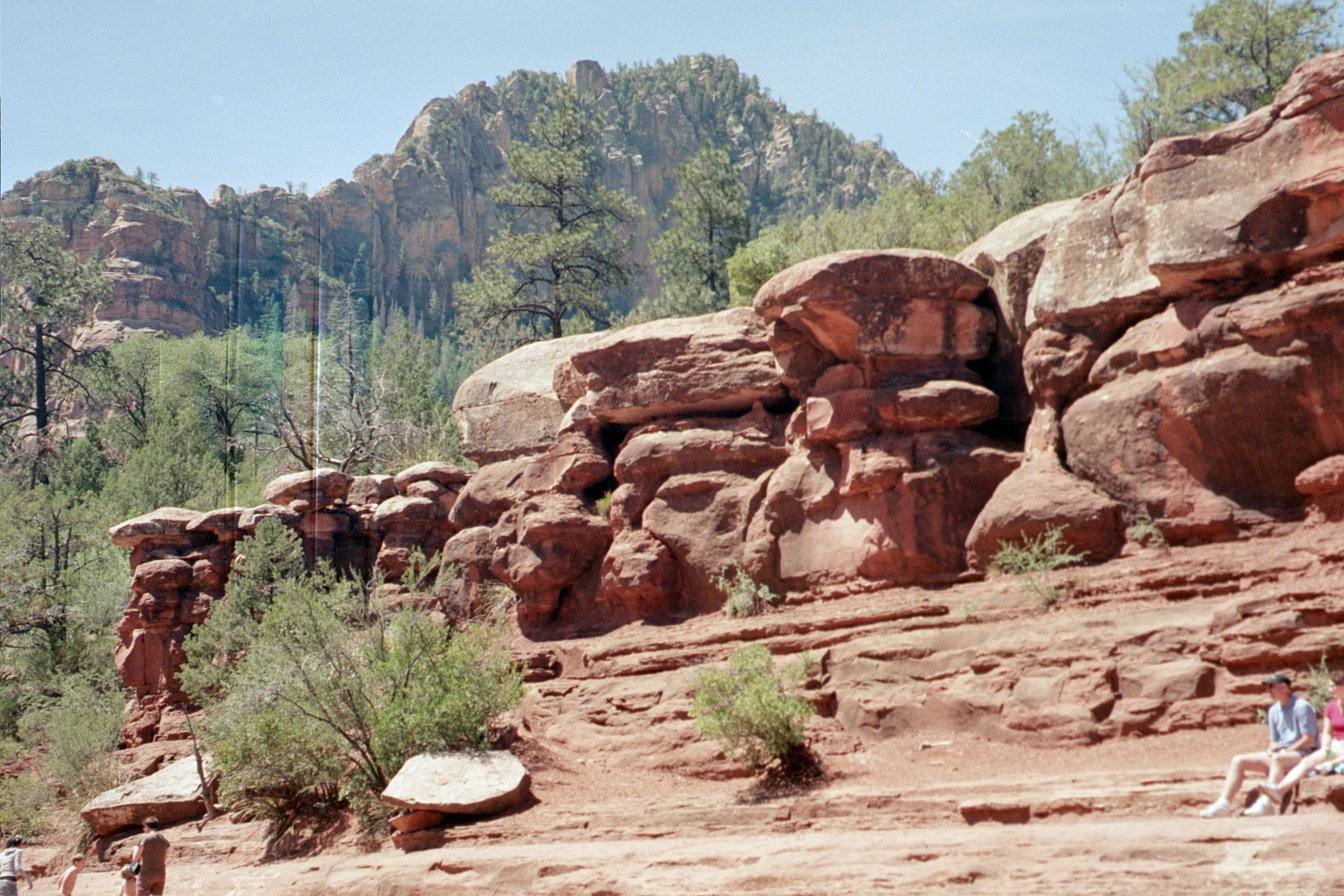
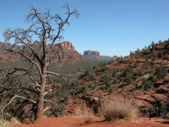
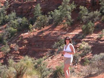
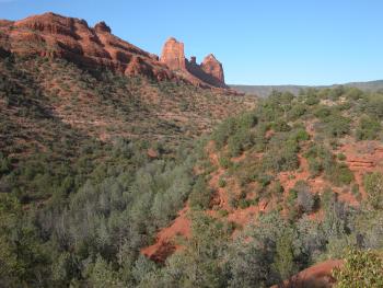
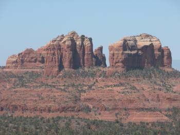
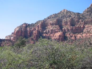
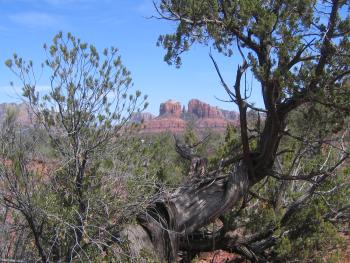
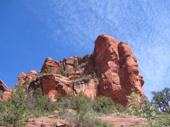
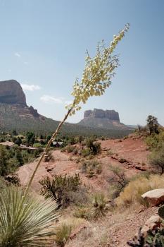
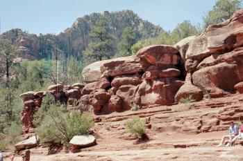
Views of various rocks as we hike around.
|
|
|
|
|

|
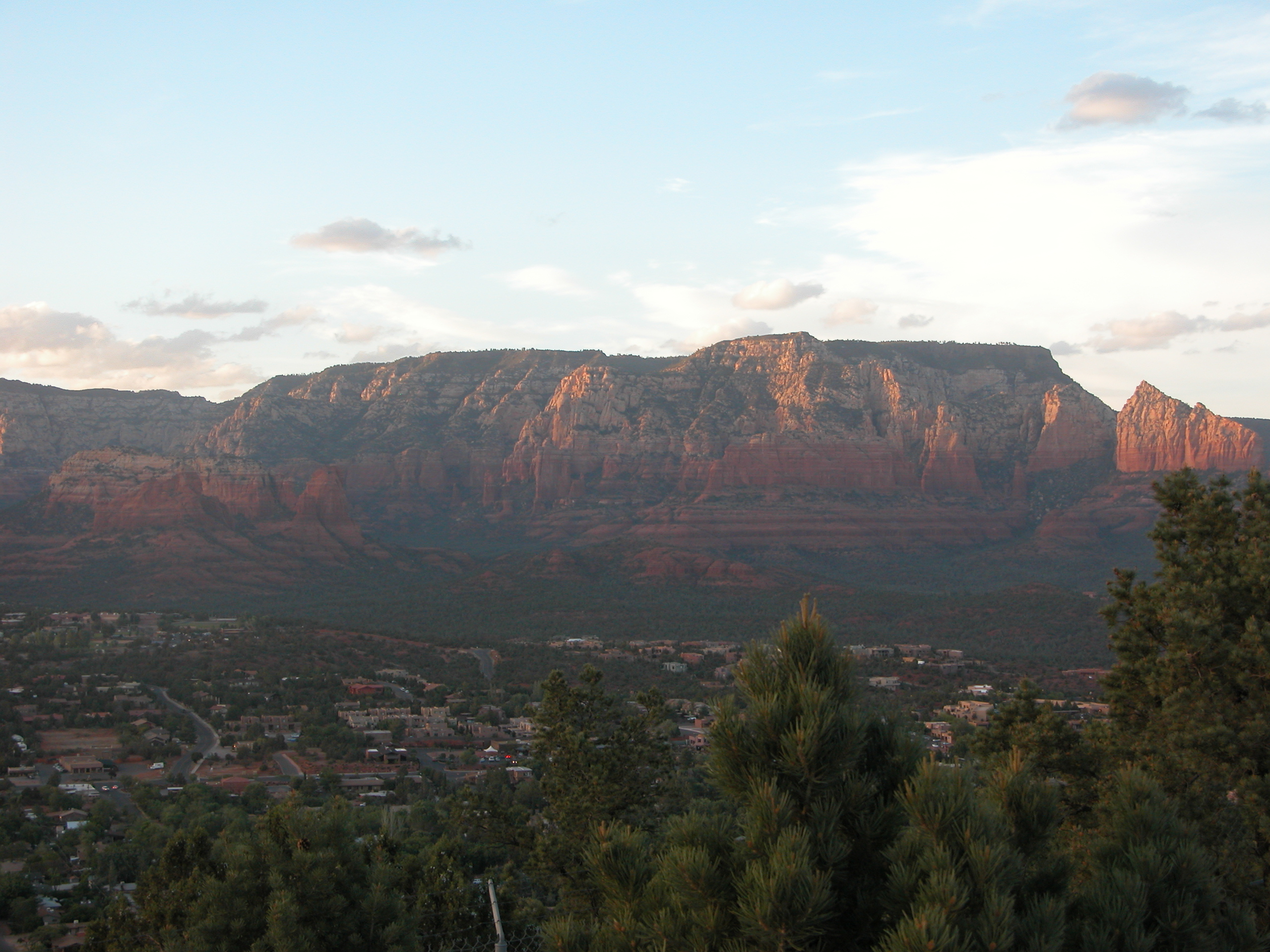
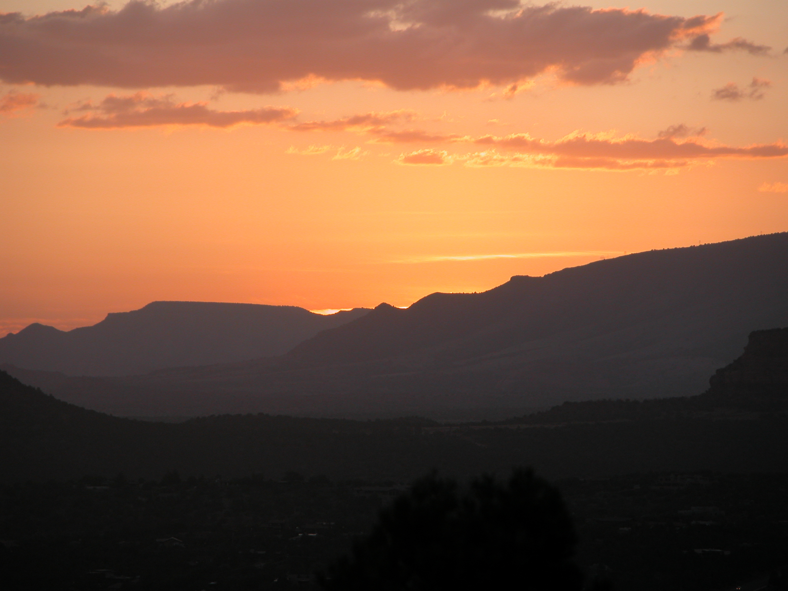
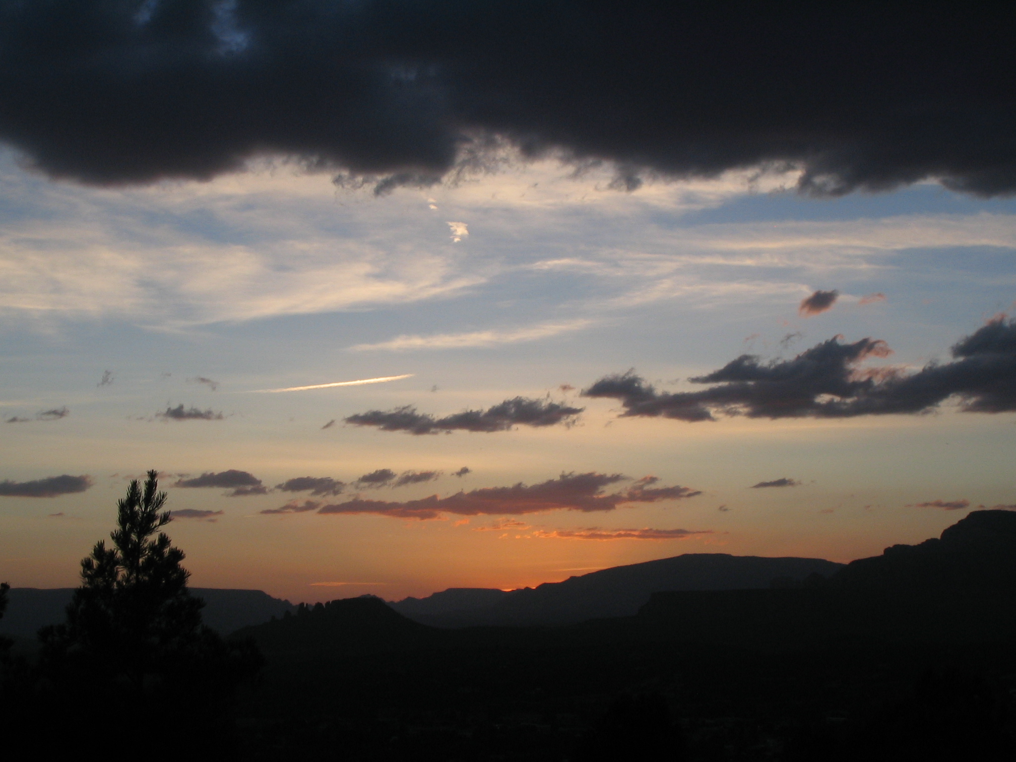
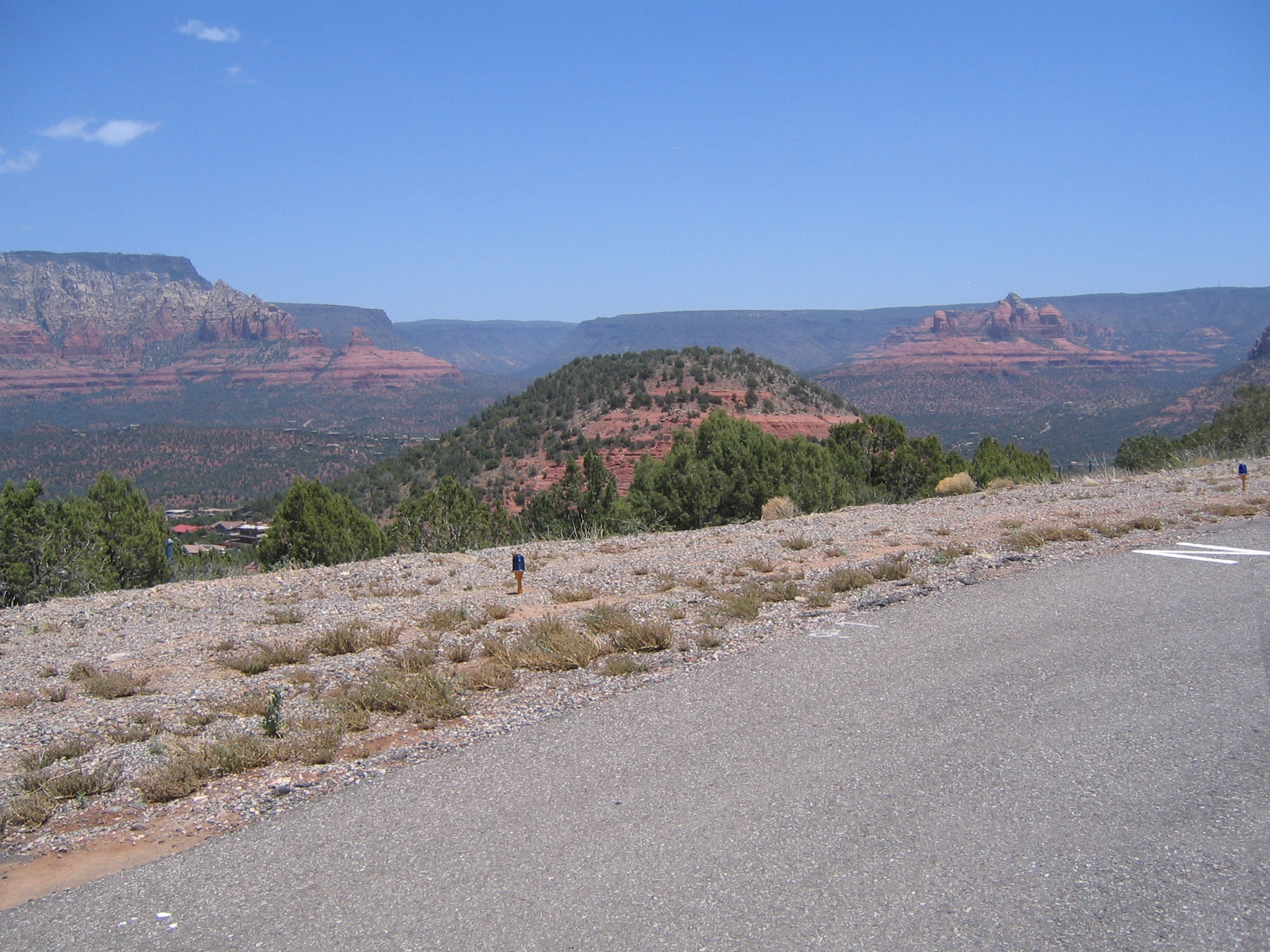
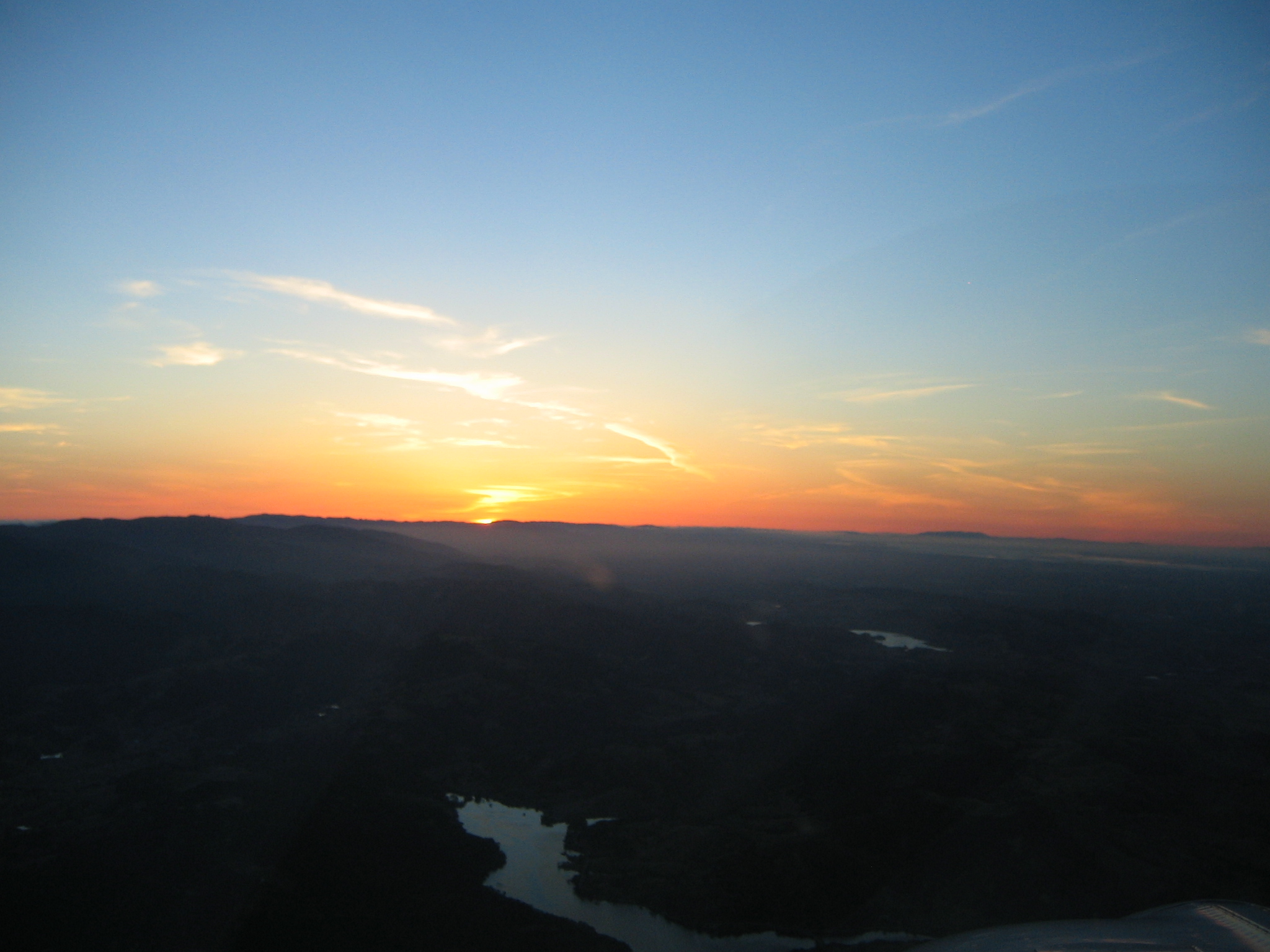
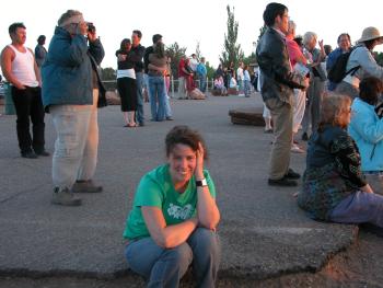
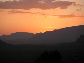
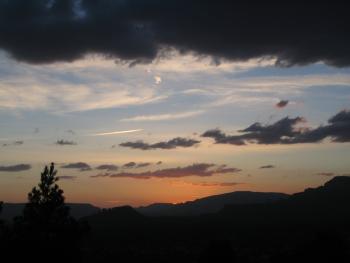
We went up to Airport Mesa for sunset. It was really windy!
|
|
|
|
|
|

|
|

|
Kristen tries not to freeze
|
|
|
|
|
|

|
|
|
|
|

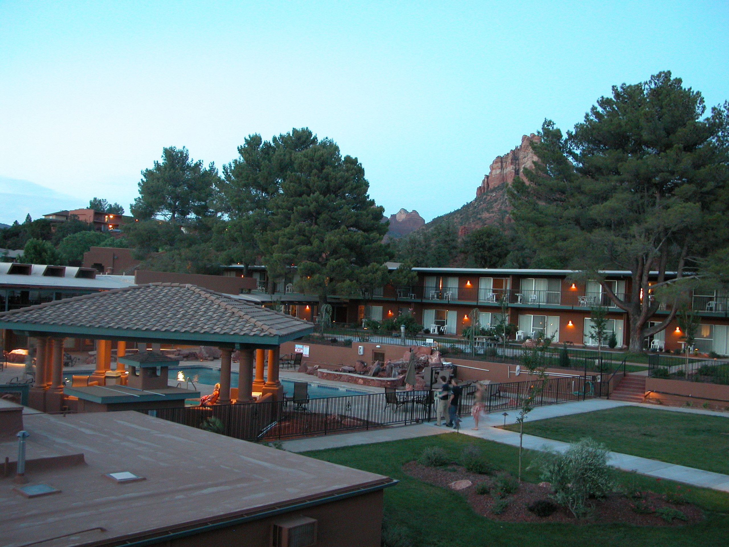
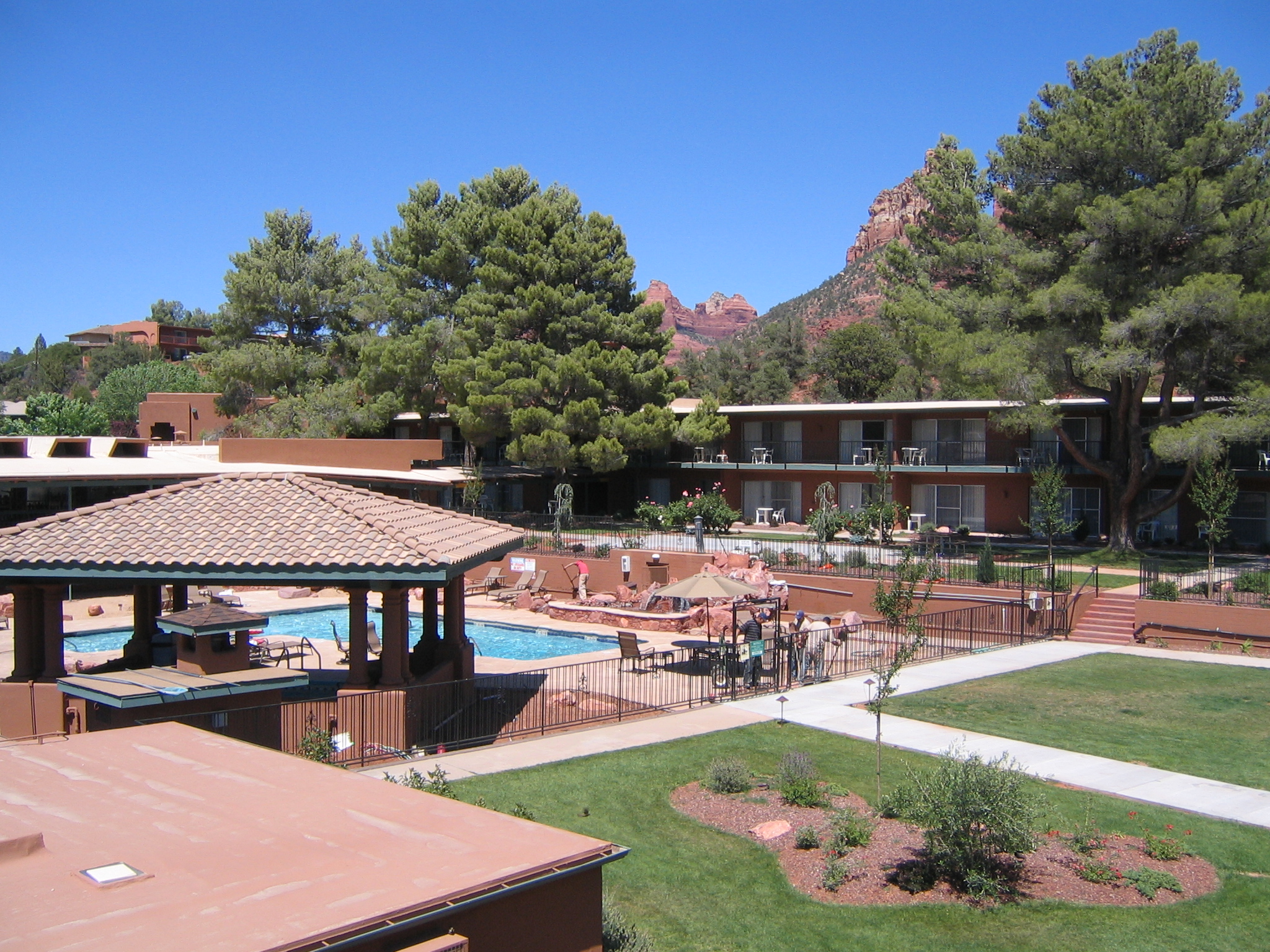
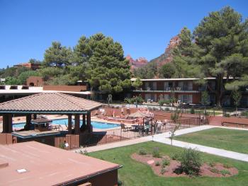
Courtyard of our hotel, the Kings Ransom Inn. Was a decent place.
|
On the second day we went to the Chapel to see it in daylight. This is on the way up.
Pics of the outside of the Chapel coming soon.
|
|
|

|
|

|
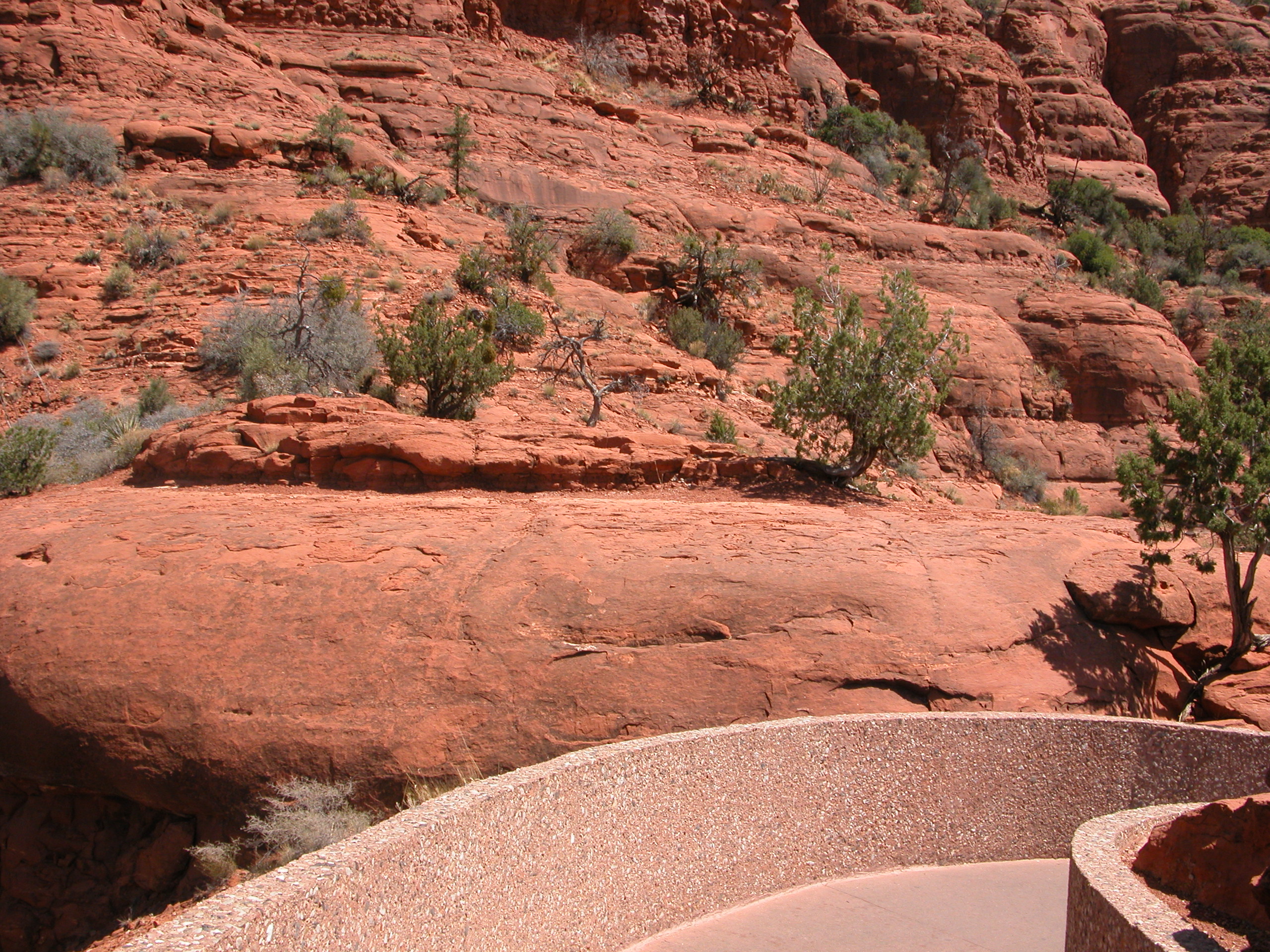
The view from the chapel.
|
|
|
|
|
|

|
|
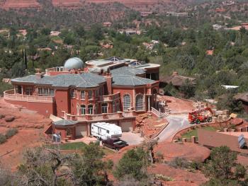
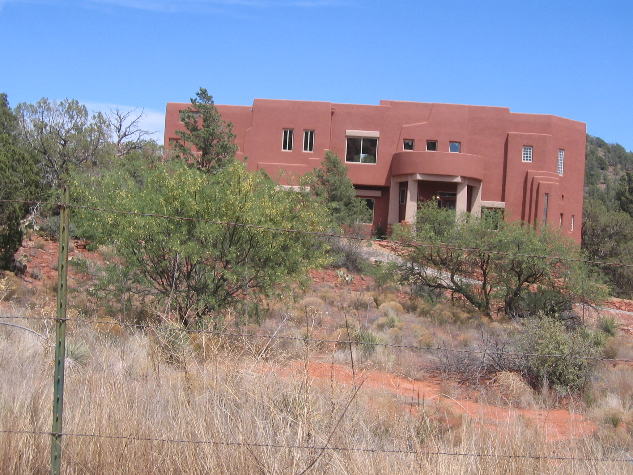
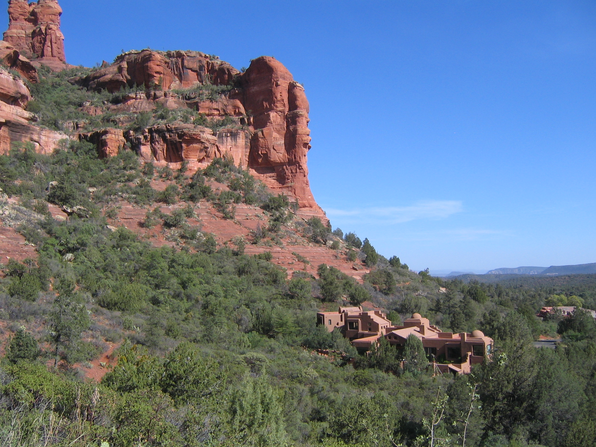
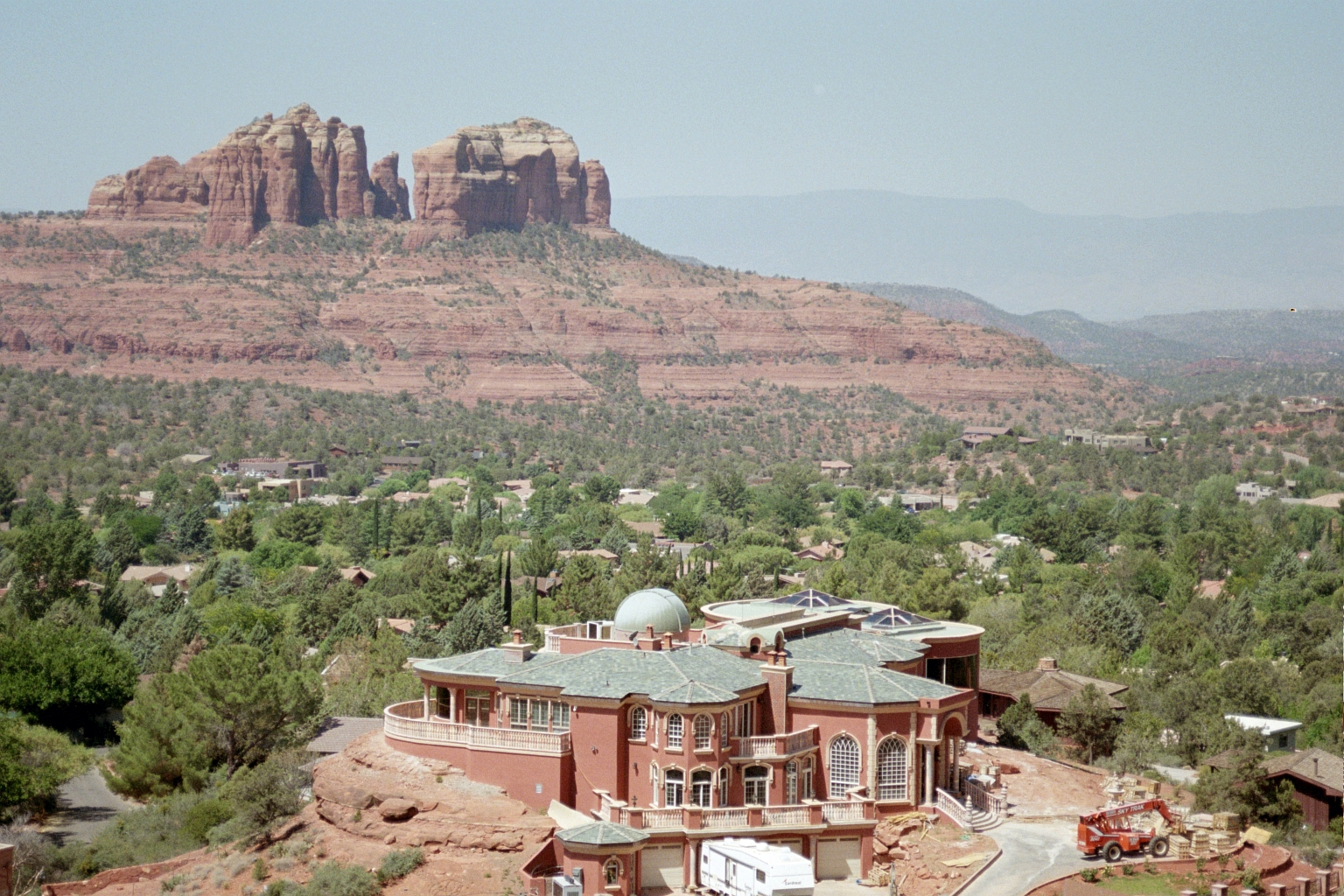
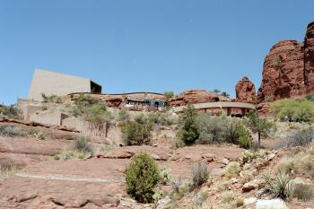
This ridiculous house was under construction near the Chapel
|

|
|

|
|
|
Time to head to Phoenix
|

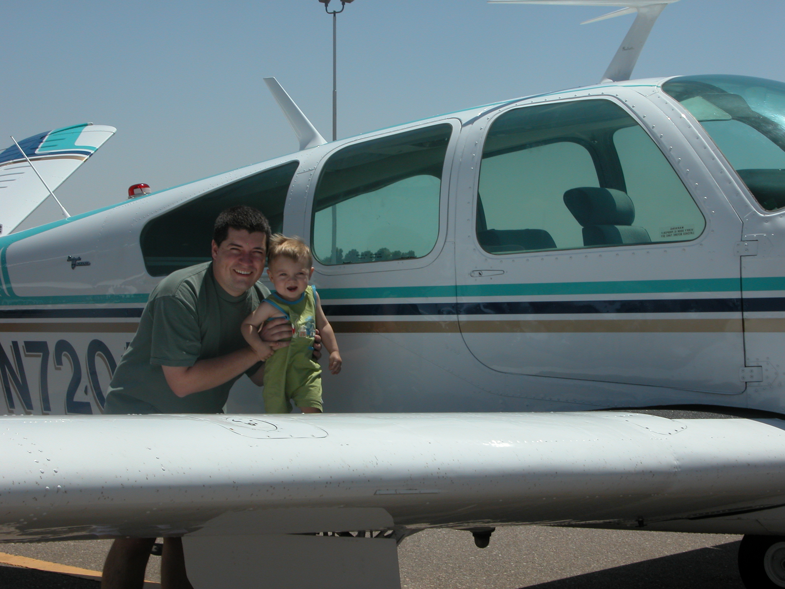
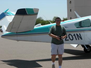
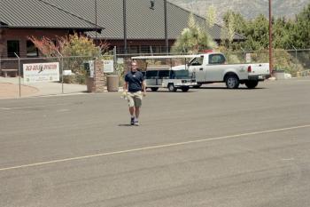
JT and Andrew after we arrive in Phoenix (Chandler).
|
|
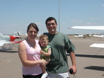
Laura and JT
|
|
|

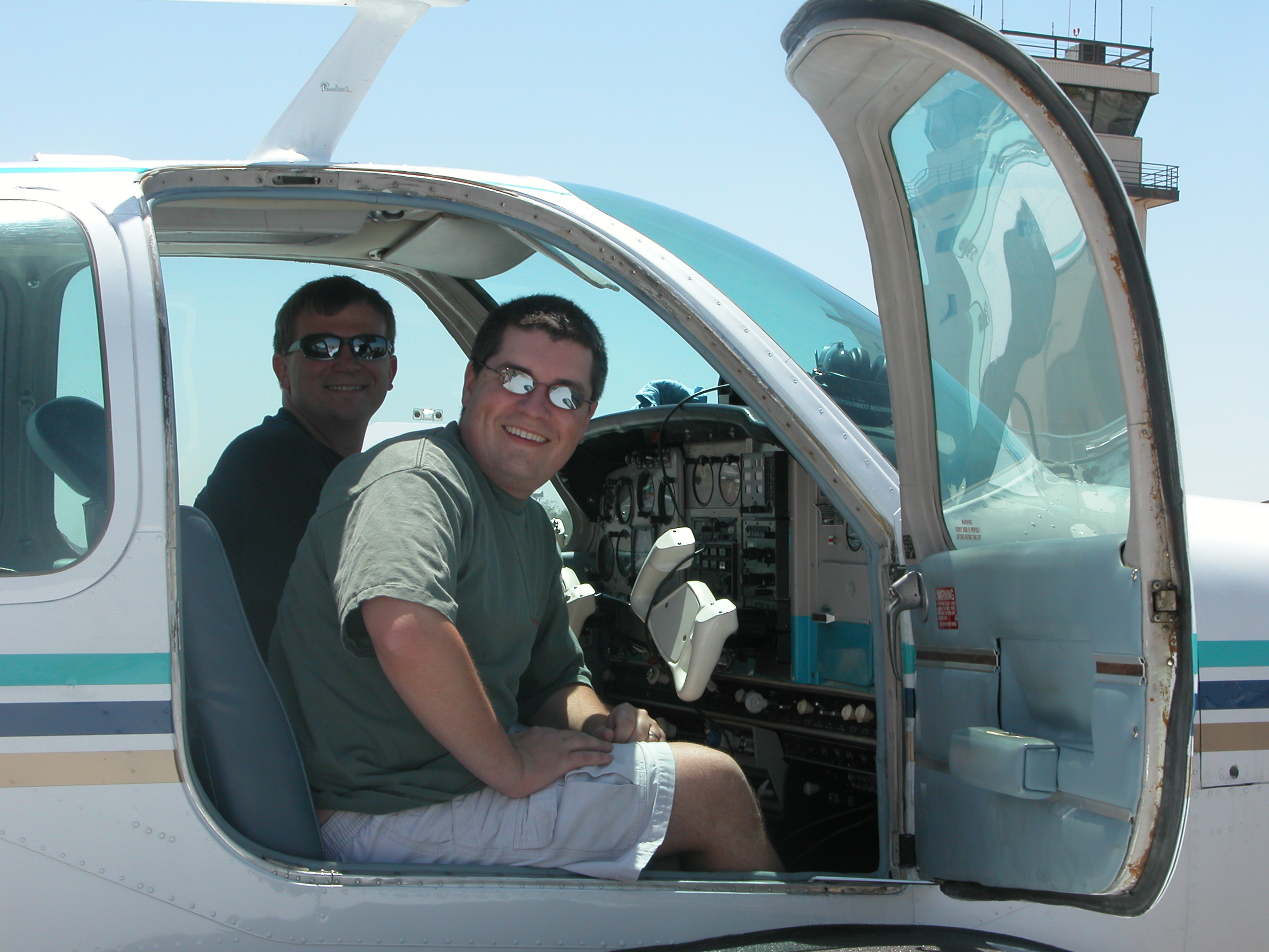
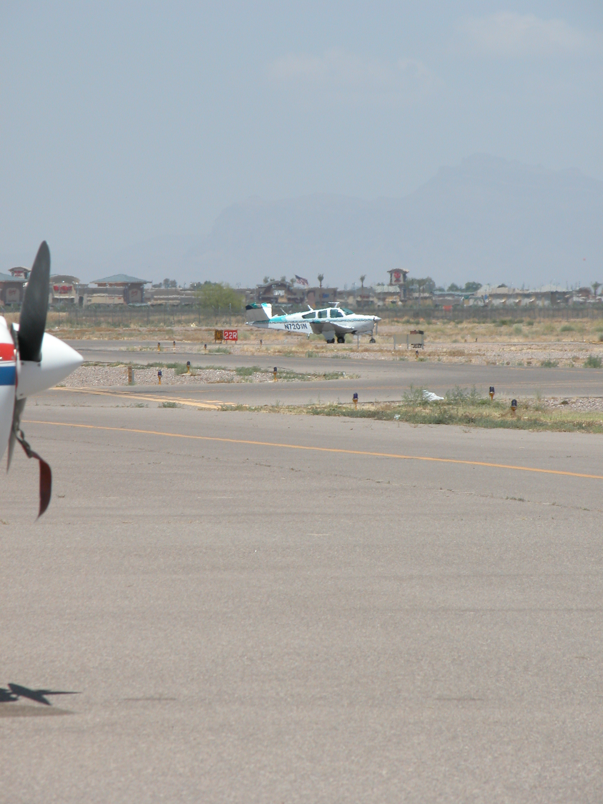
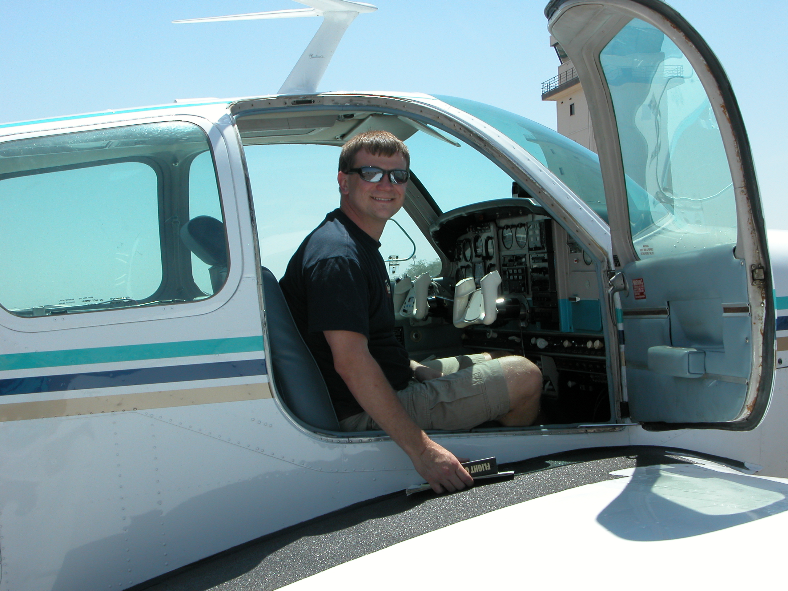
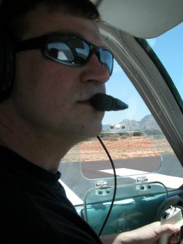
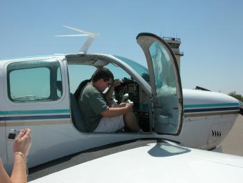
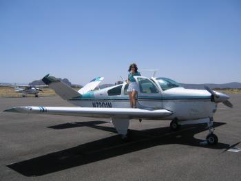
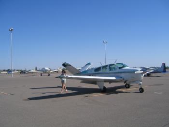
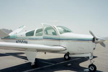
JT and I went for a ride
|

|
|
|
JT and I on the takeoff roll.
|
|
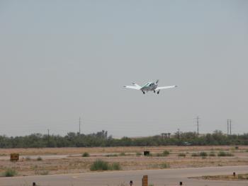
JT and I taking off
|
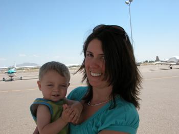
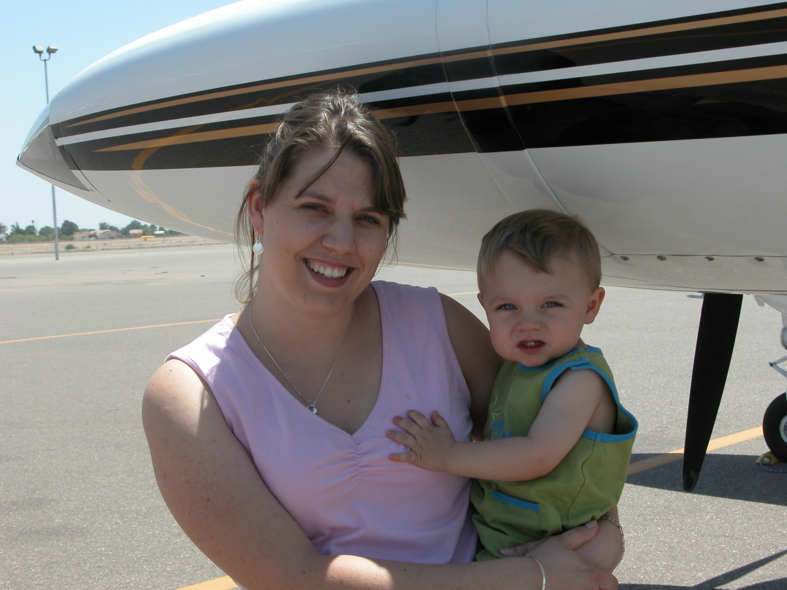
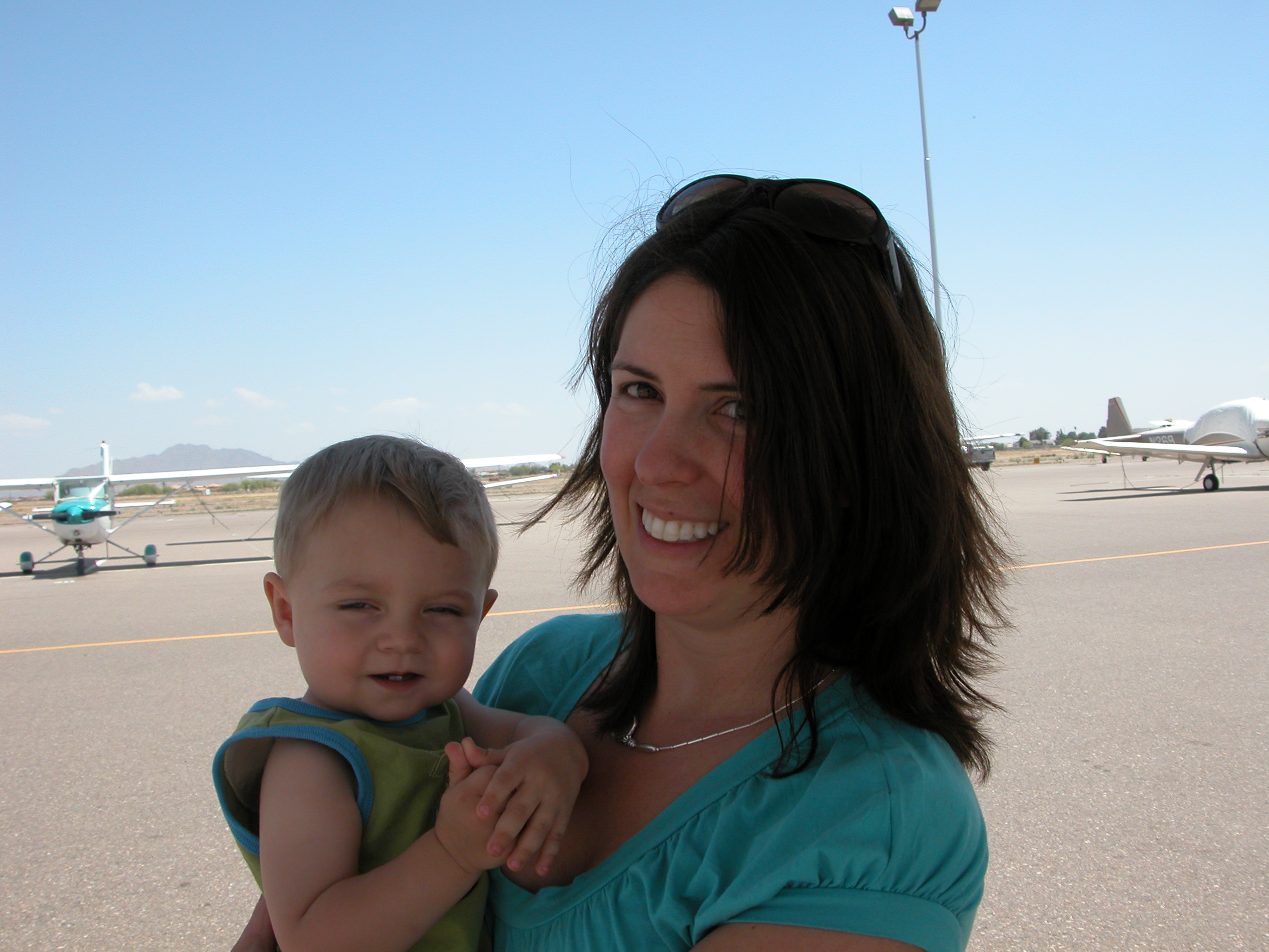
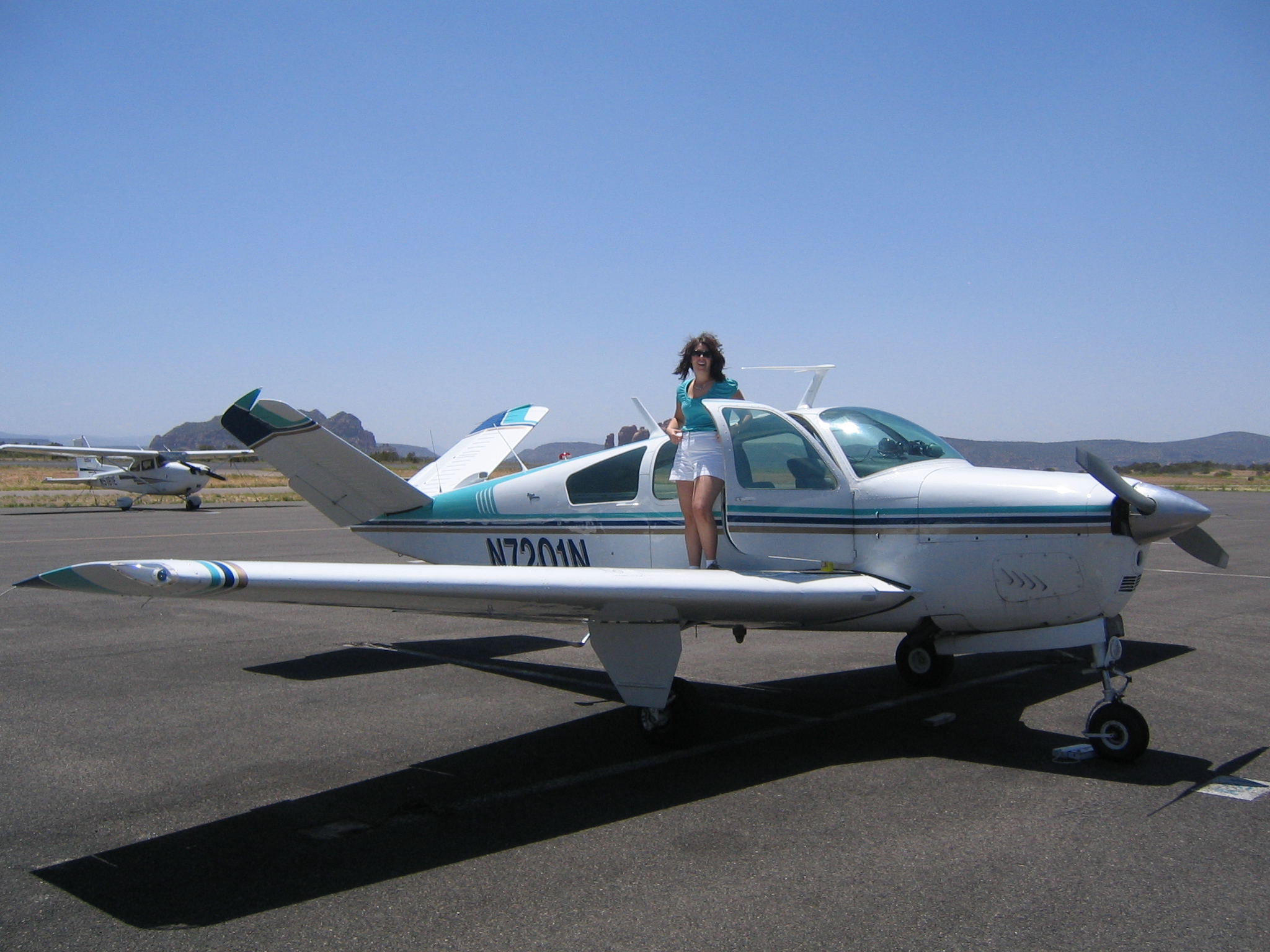
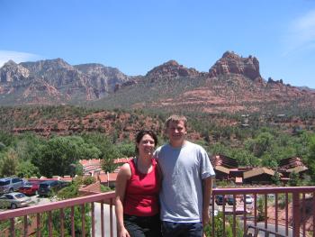
Kristen and Andrew
|
|
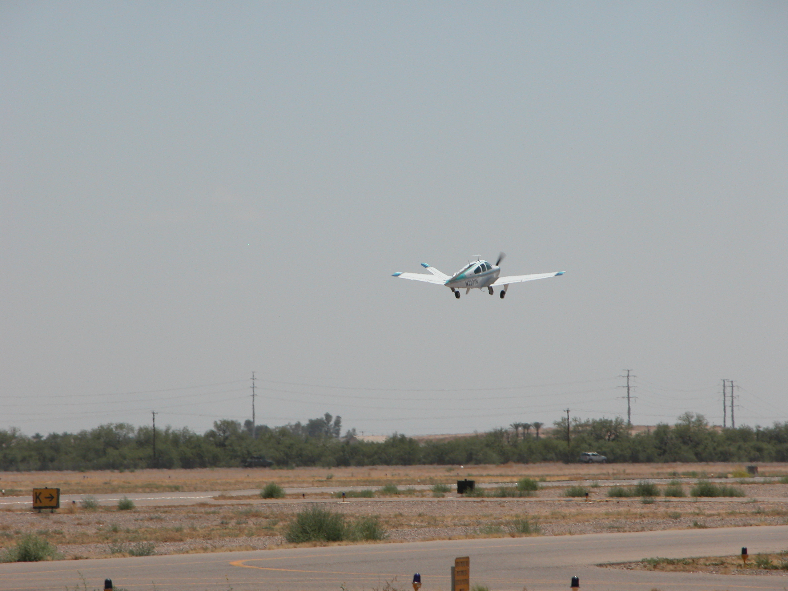
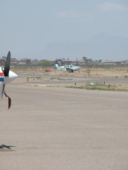
JT after a couple laps around the airport
|
|
|
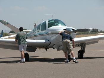
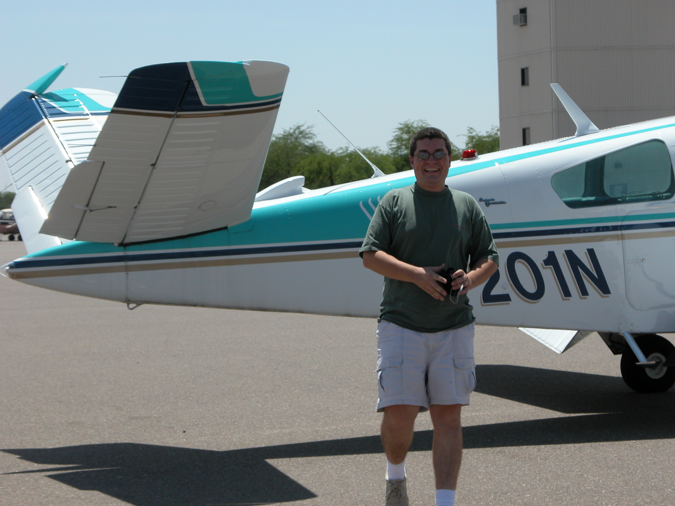
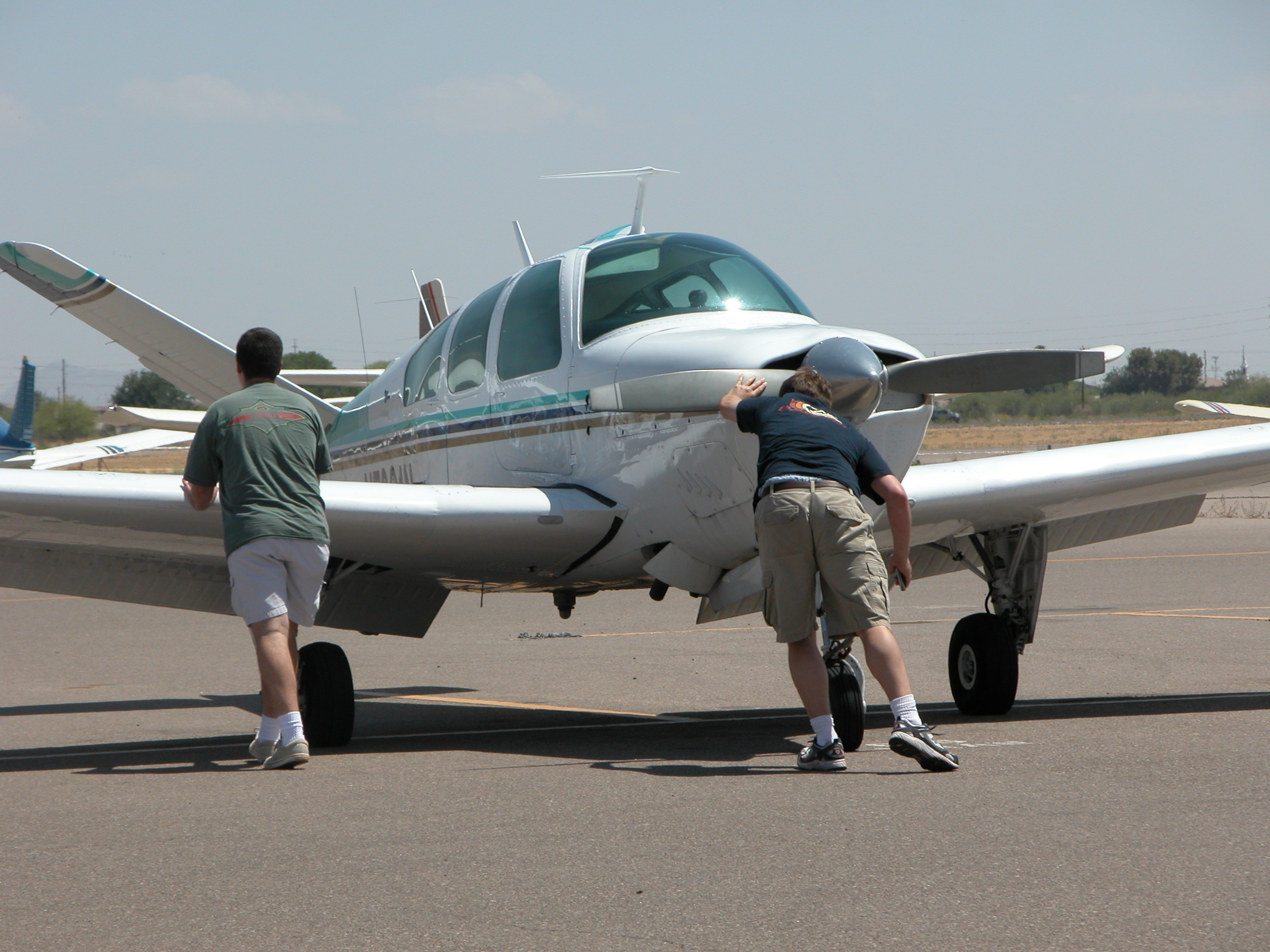
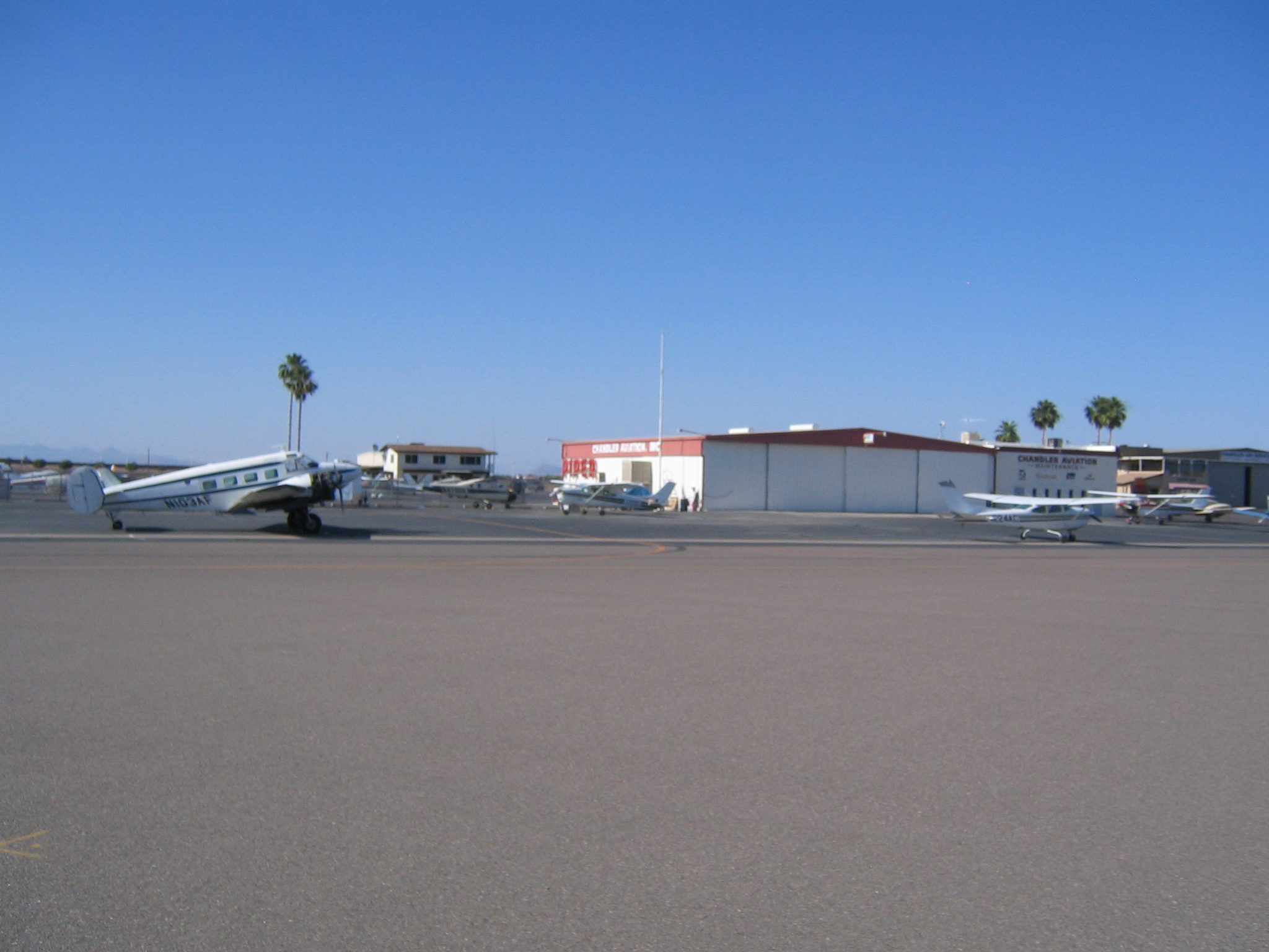
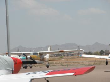
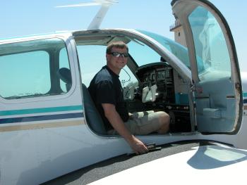
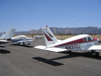
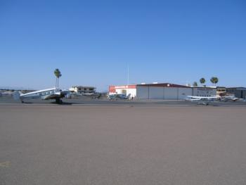
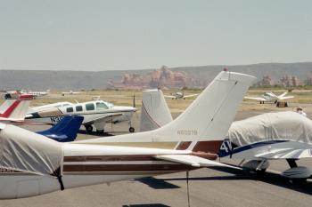
Pushing back into the parking spot
|
Camera #2
|
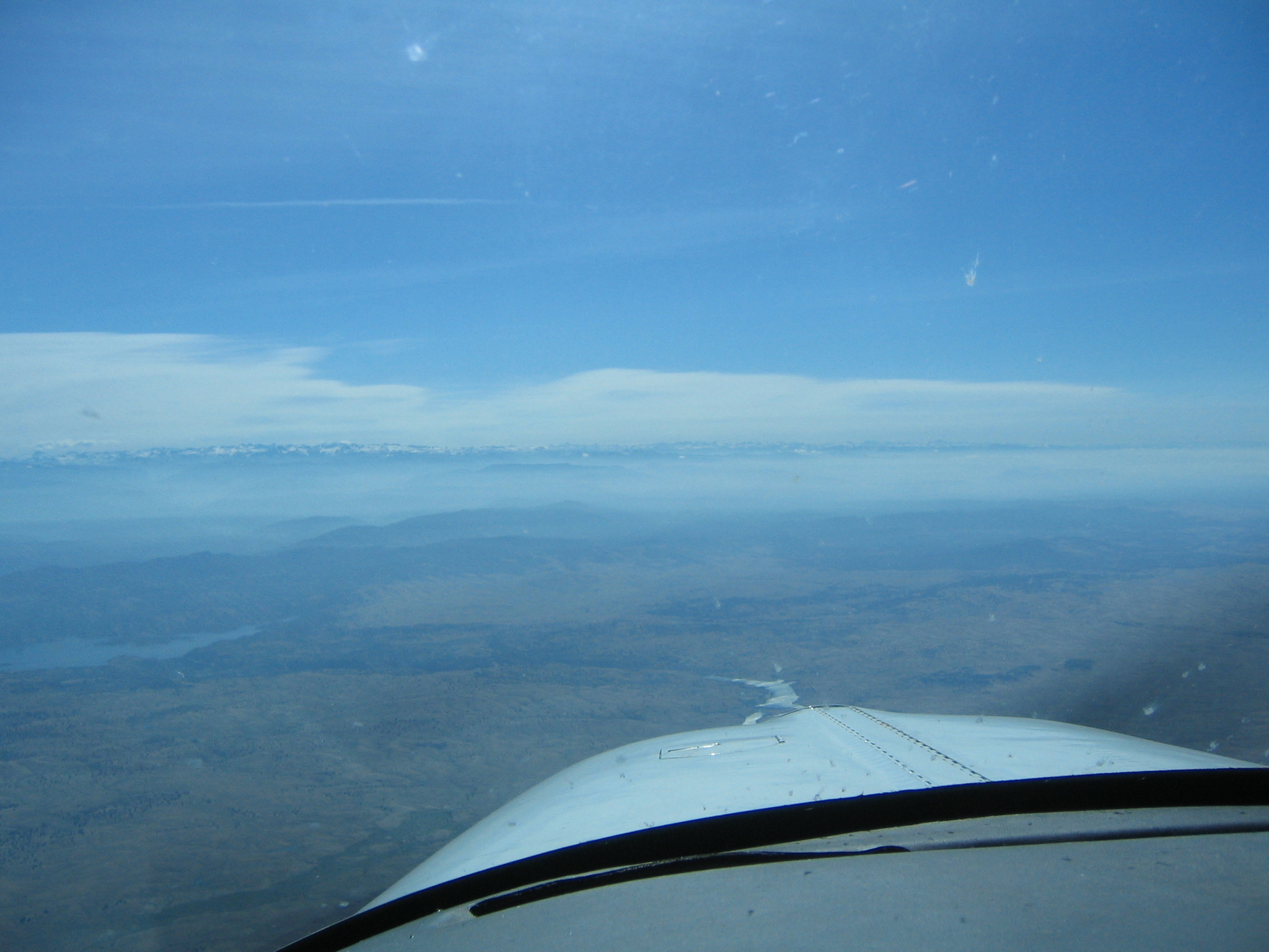
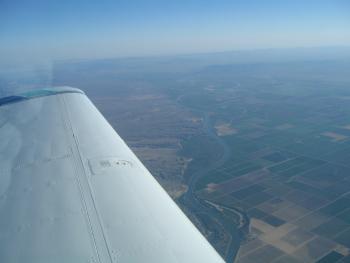
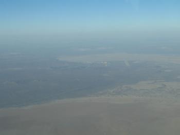
Now we're onto the second camera. This is climbout out of the Bay Area enroute to
Sedona via Bishop and Las Vegas.
|
|
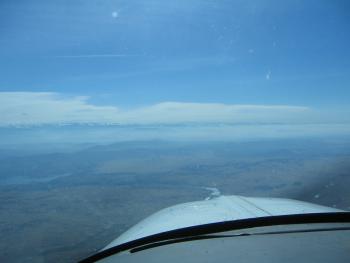
Level at 9500 feet heading East
|
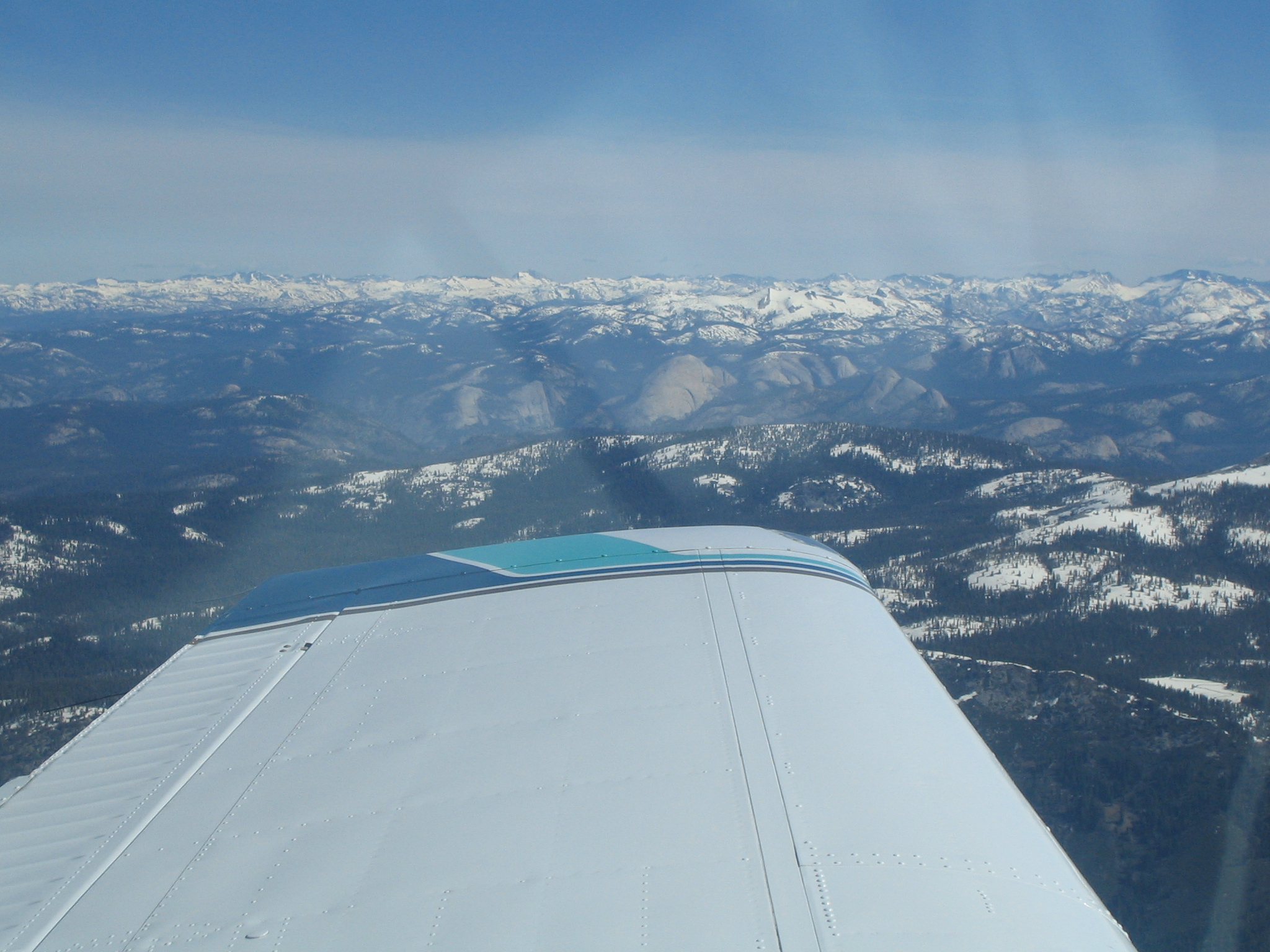
The back side of Half Dome in Yosemite
|
|

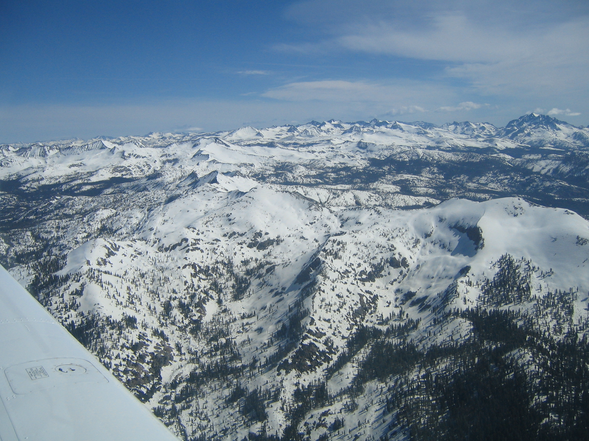
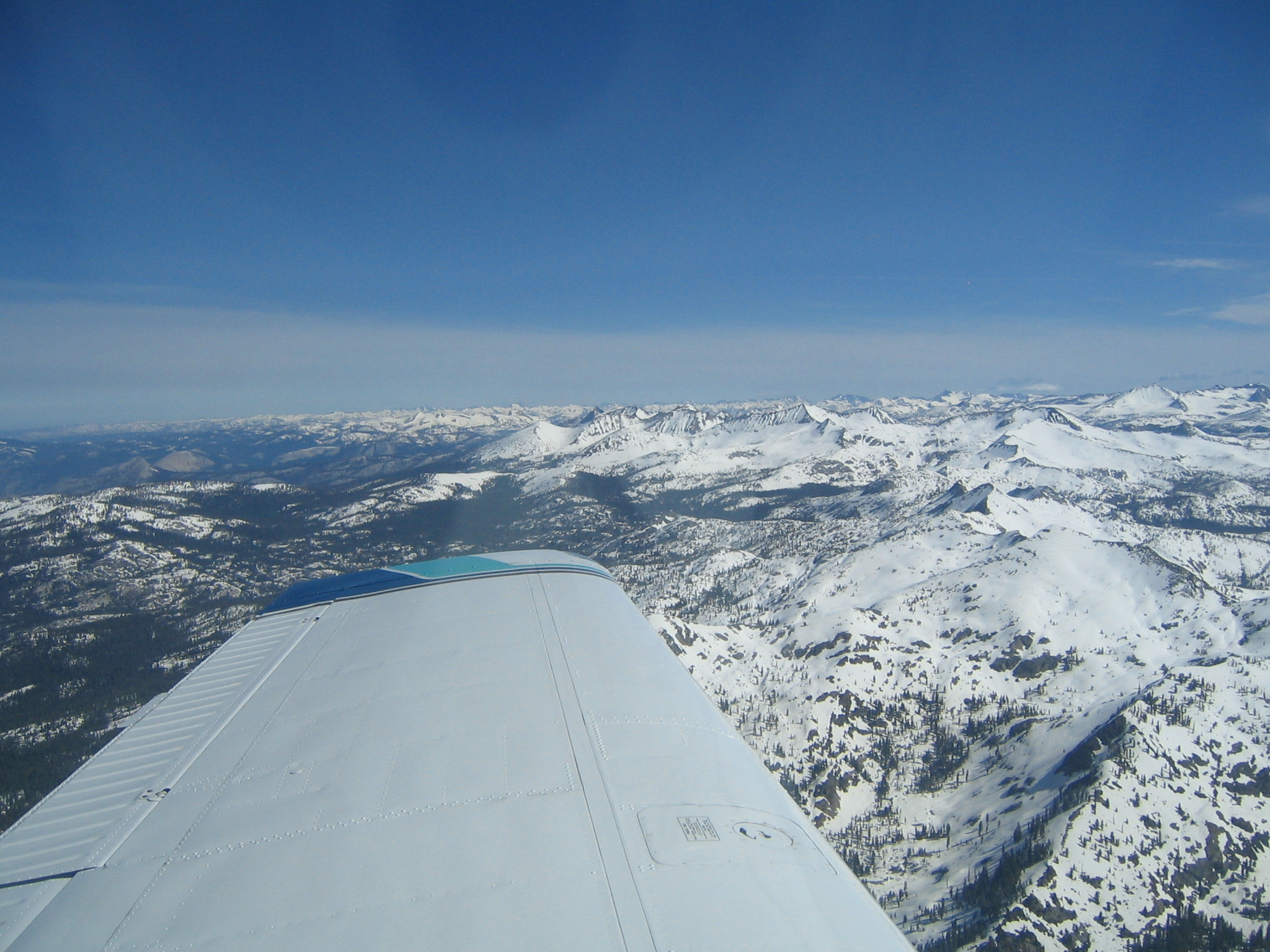
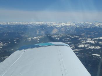
Crossing the Sierras
|

|
|
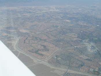
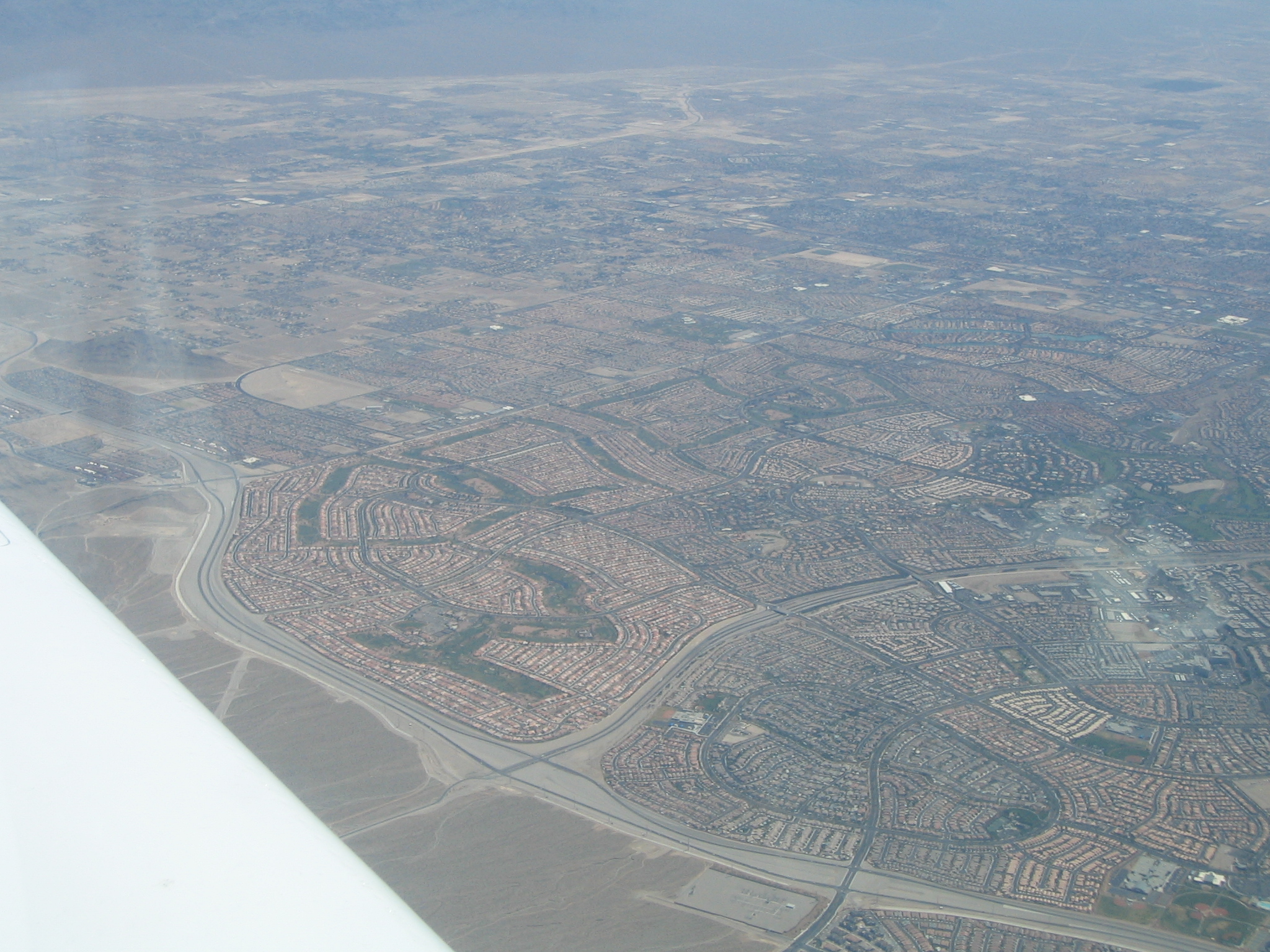
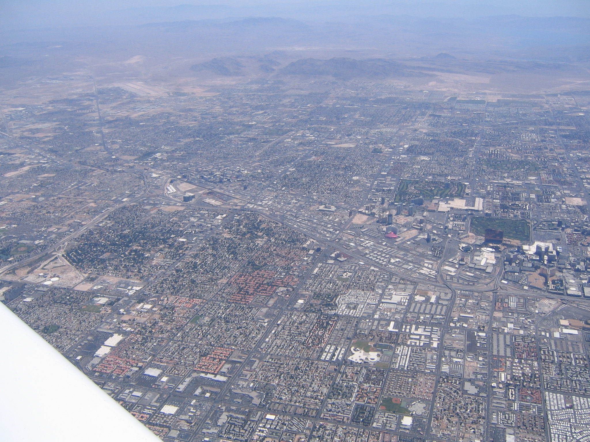
Crossing over Las Vegas
|
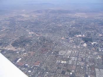
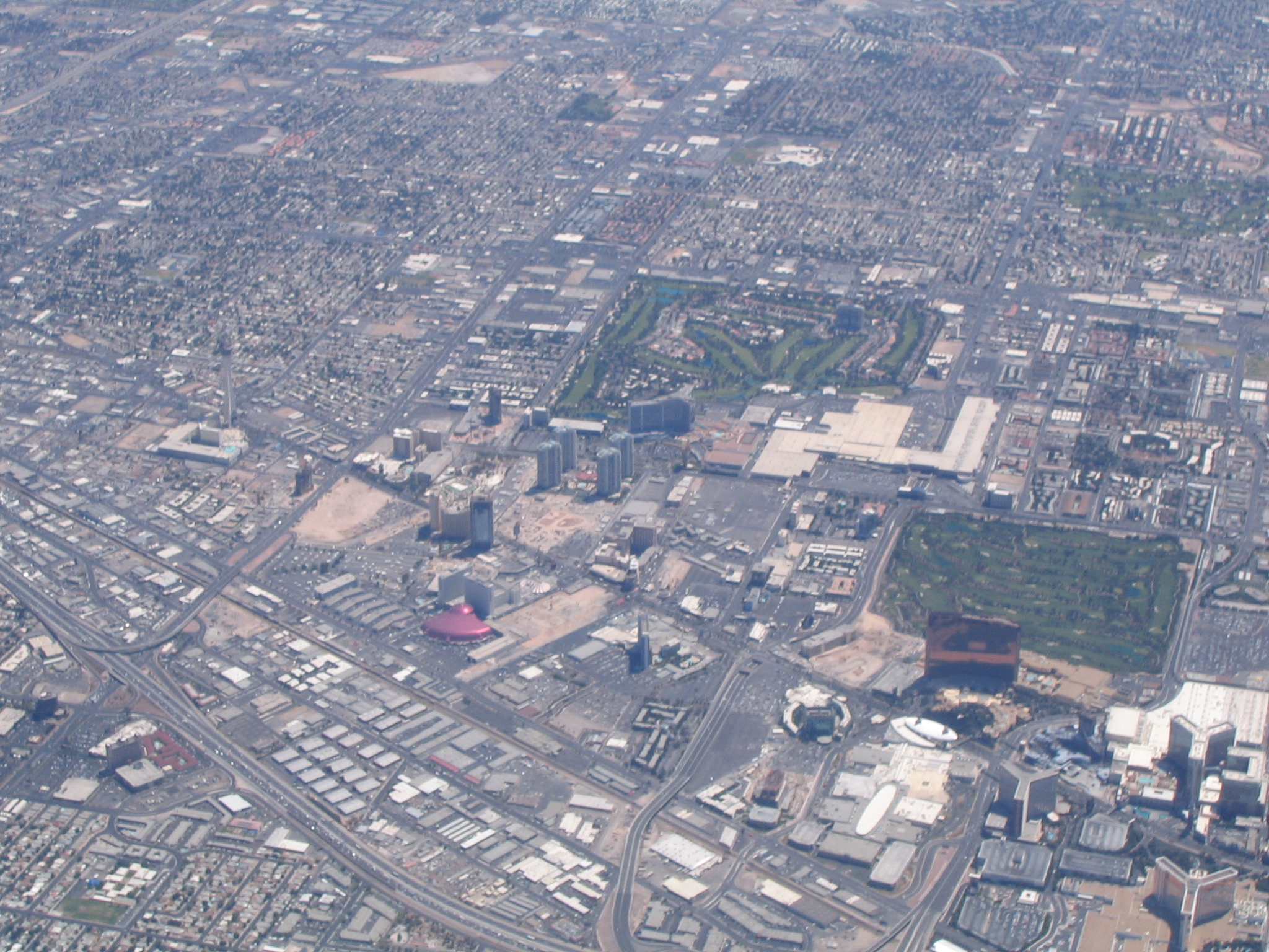
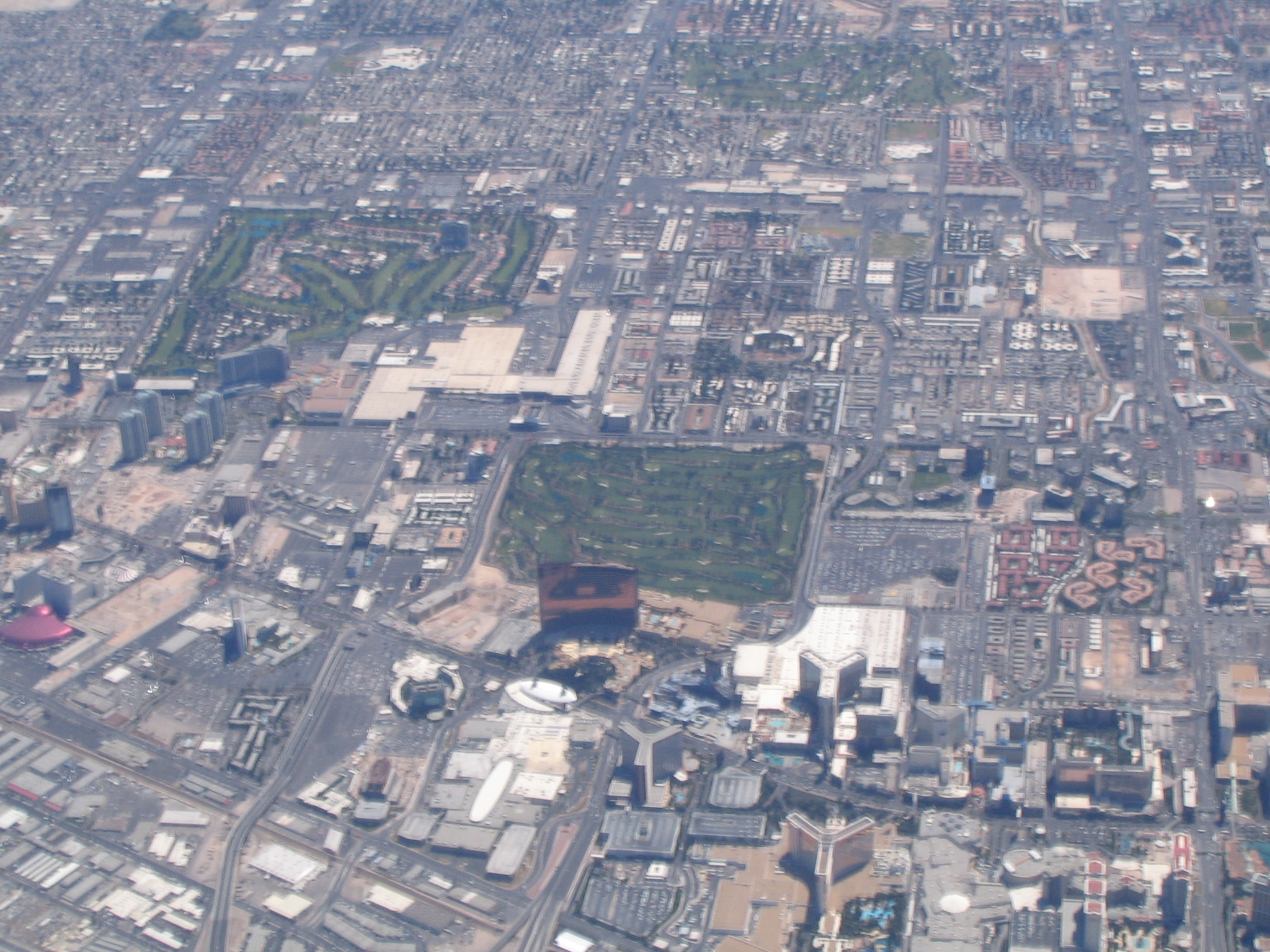
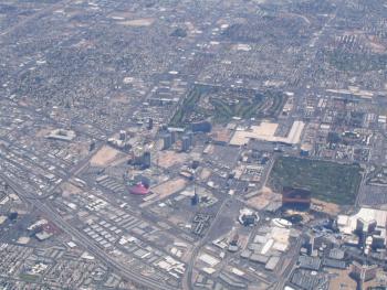
The Strip comes into view
|
|
|
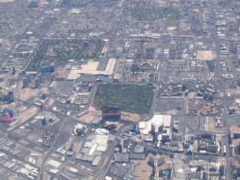
Hotel Wynn on the strip
|
|
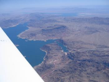
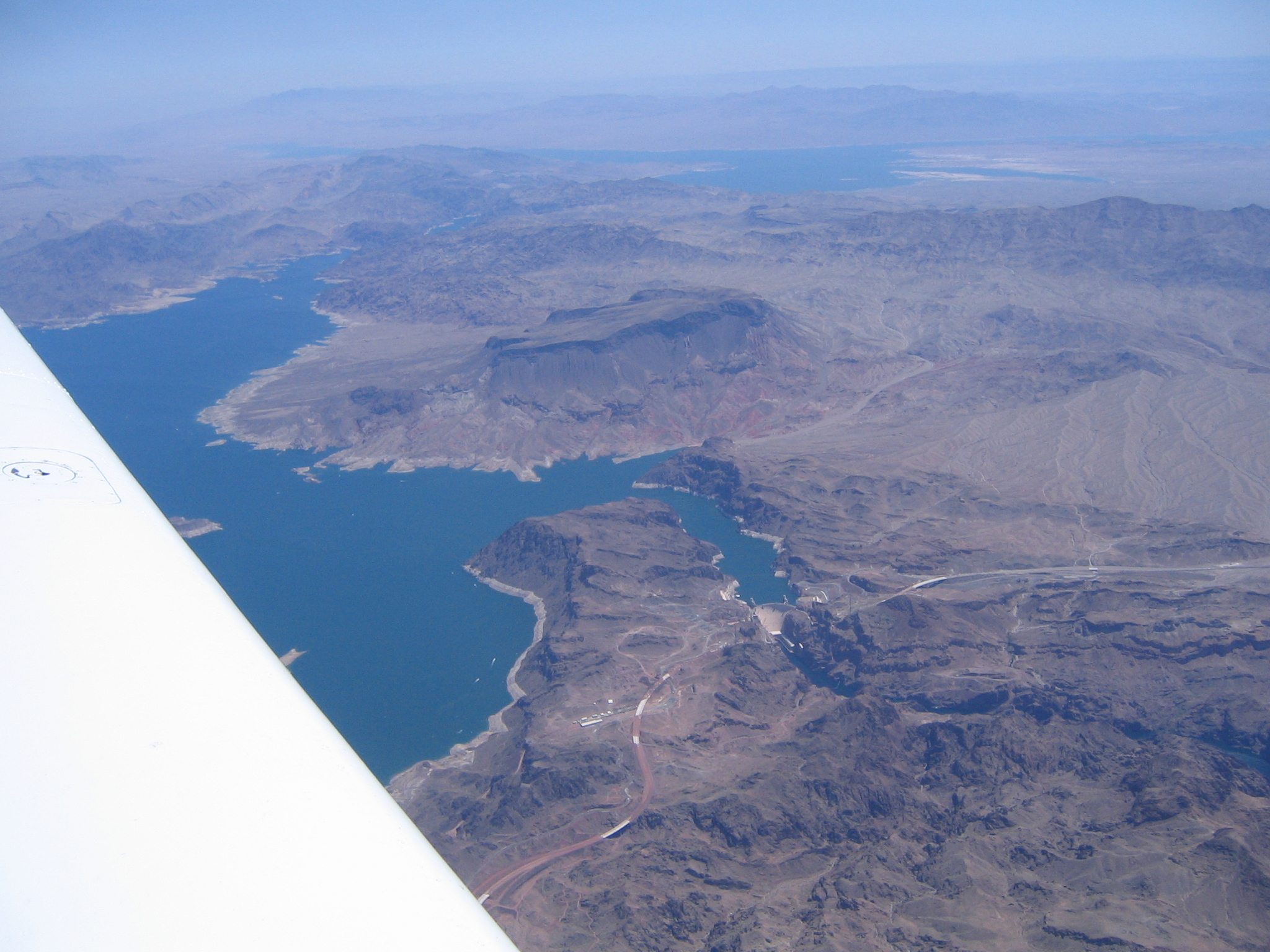
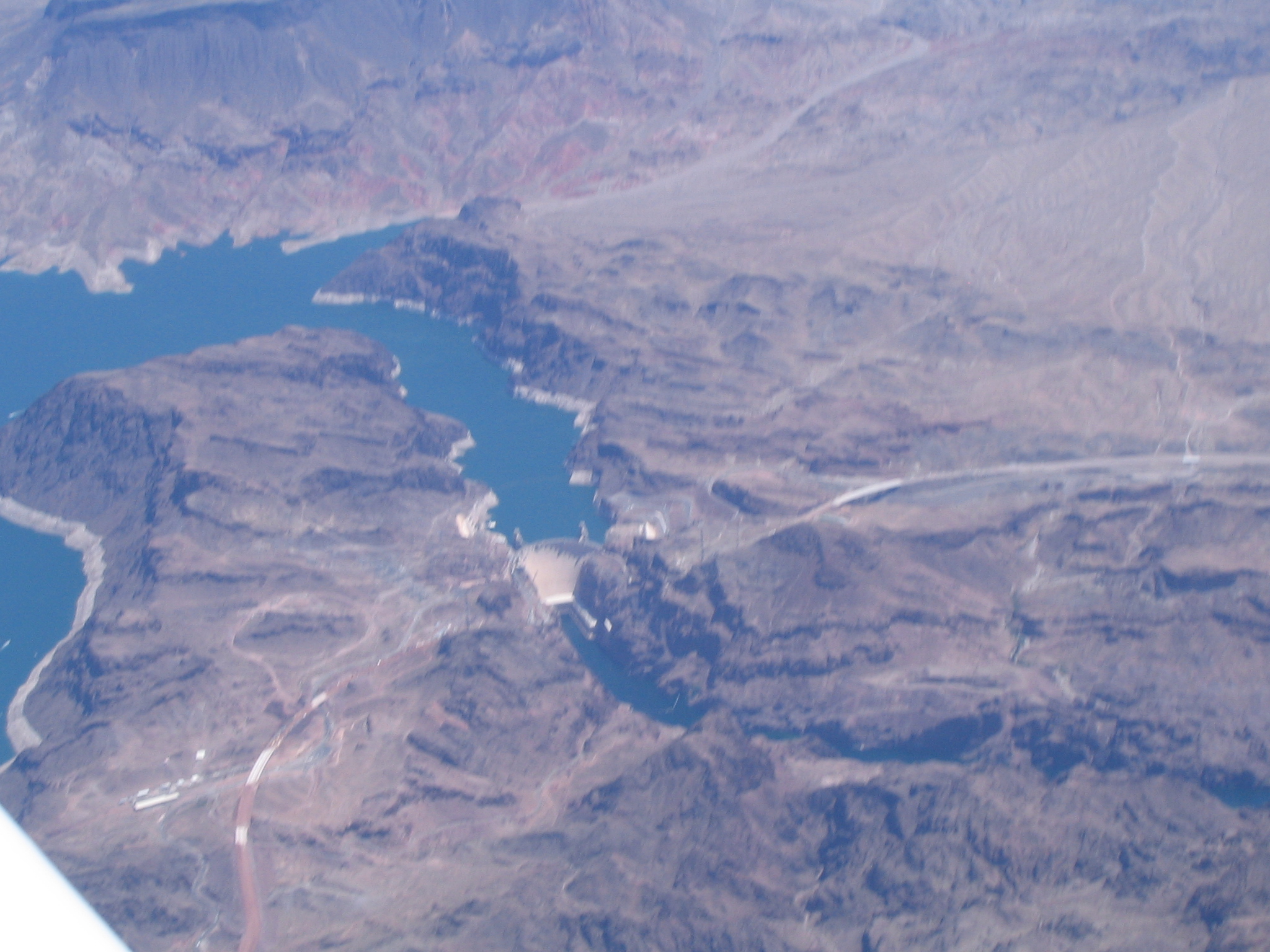
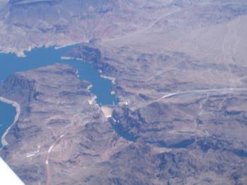
Lake Mead and Hoover dam
|
|
|
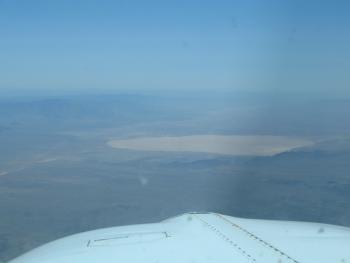
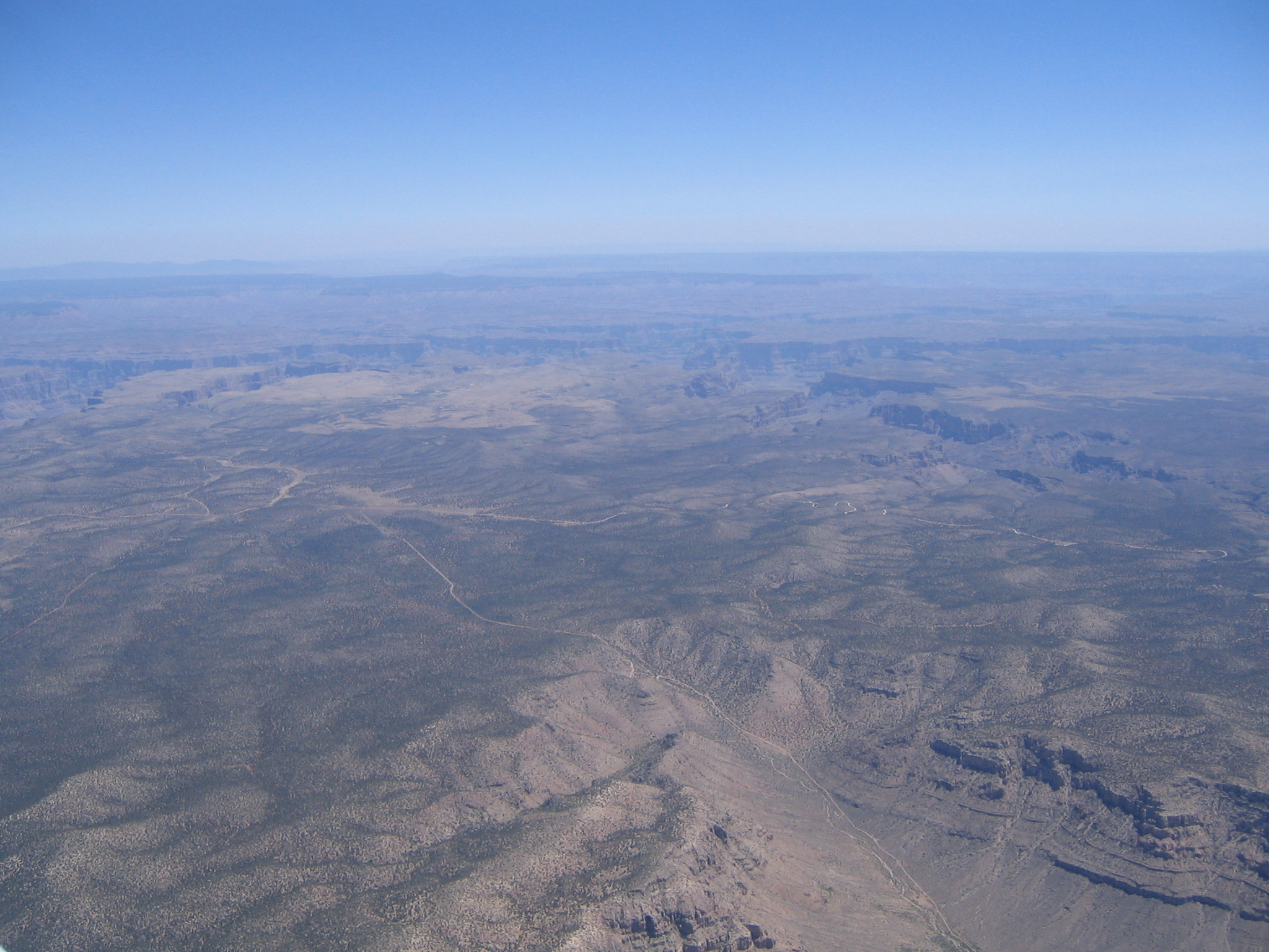
Red lake - a dry lakebed near the Grand Canyon
|
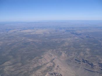
The Grand Canyon comes into view
|
|
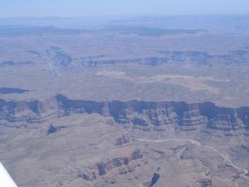
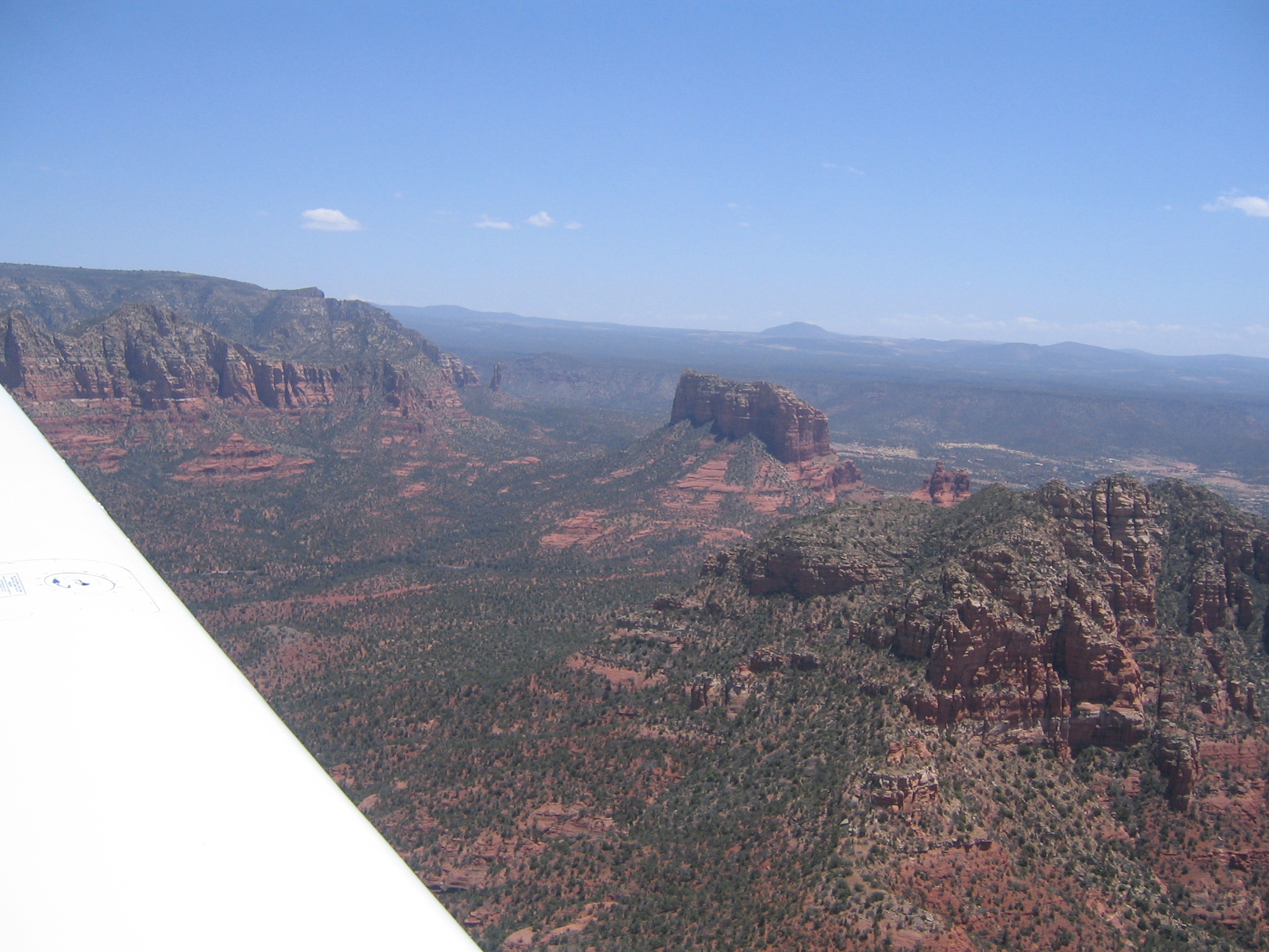
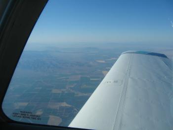
Closer to the Grand Canyon. I was a little dissappointed in the views. I expected more colors and a better sense of depth. There are flight restrictions right over most of the canyon, so this is about as close as you can get without going up to oxygen altitudes. We were at 11500 feet thanks to some unfriendly turbulence down lower.
|
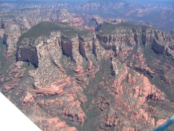
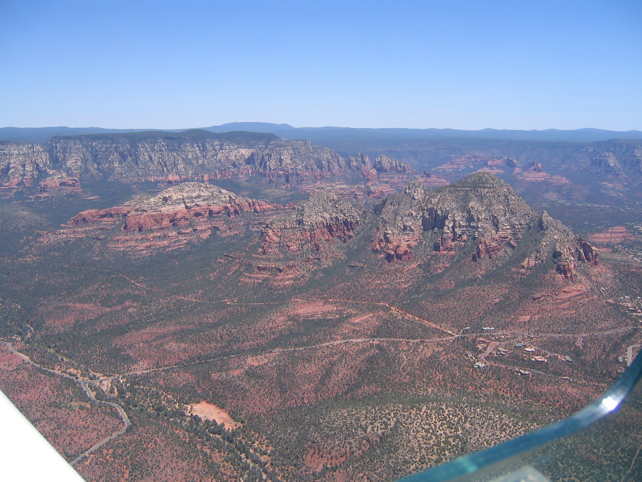
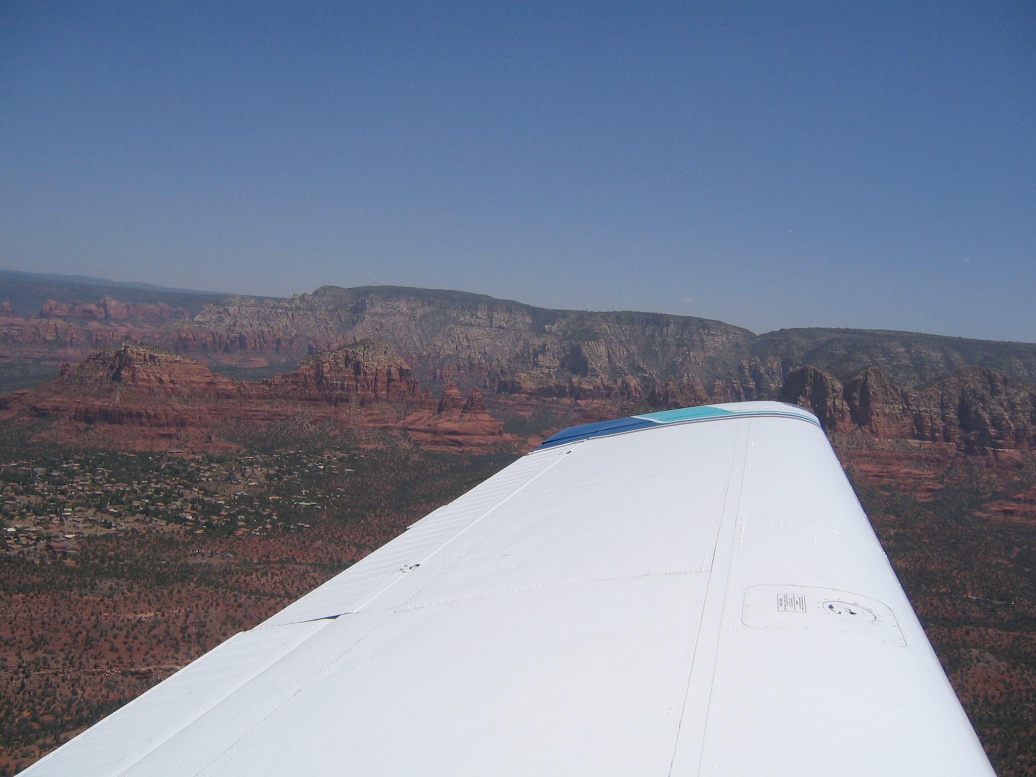
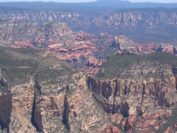
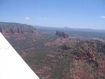
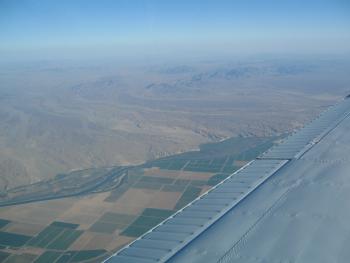
Descending into Sedona. There's the color.
|
|
|

|
|
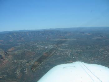
The airport is thatwhite strip running left to right.
|
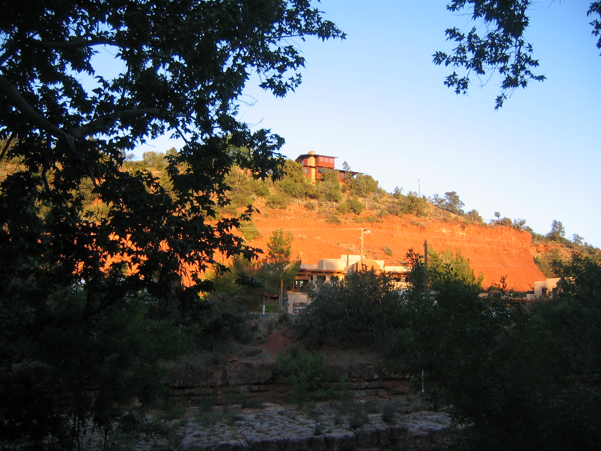
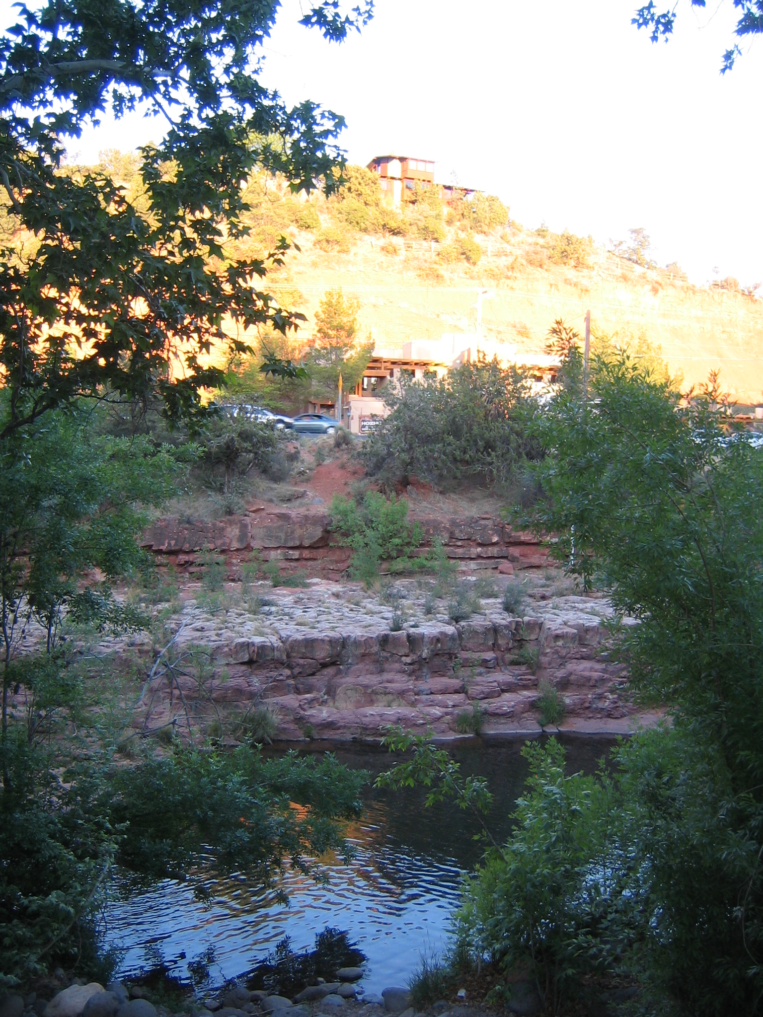
Our hotel.
|
|
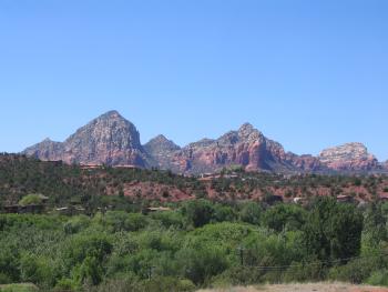
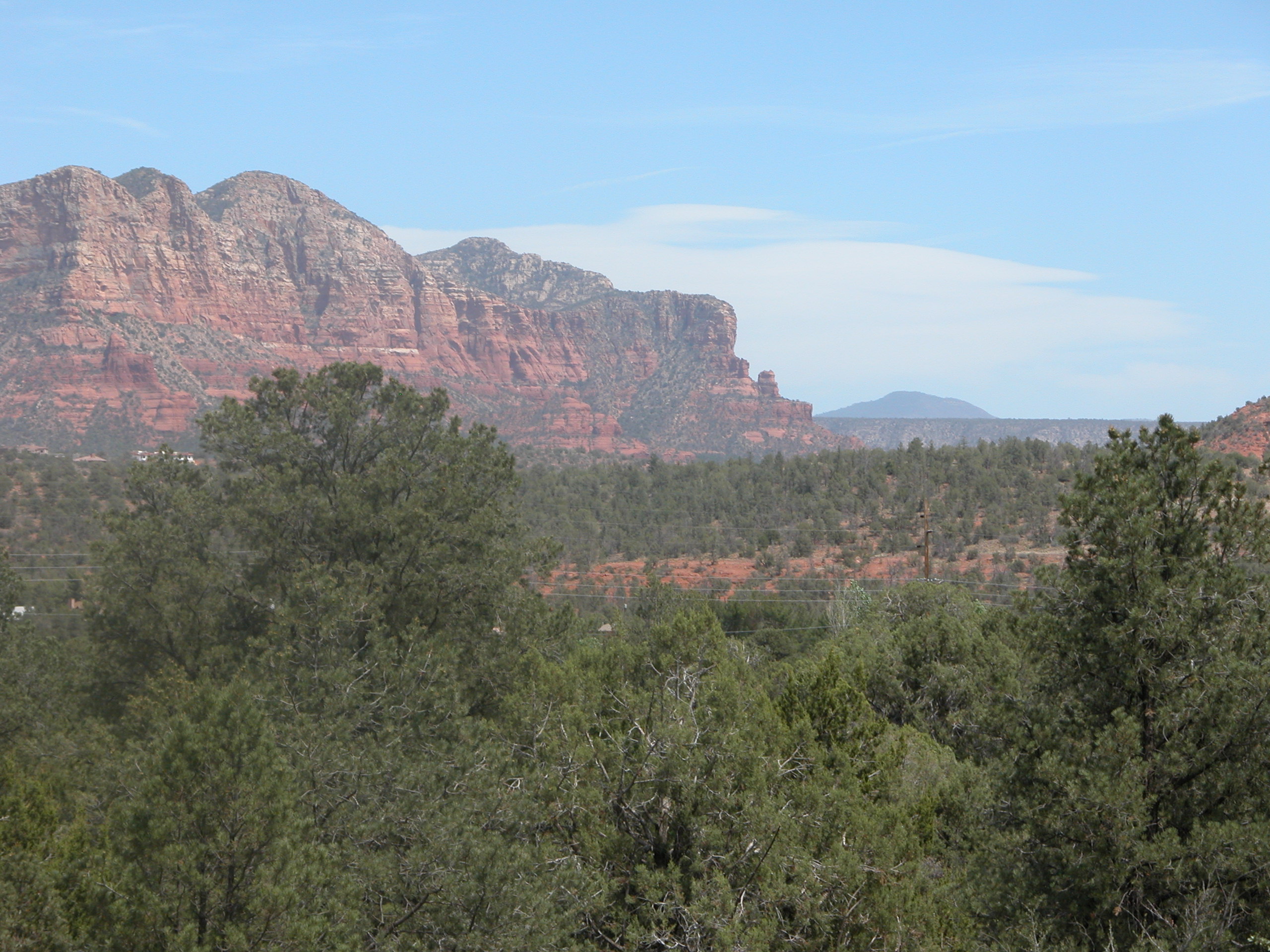
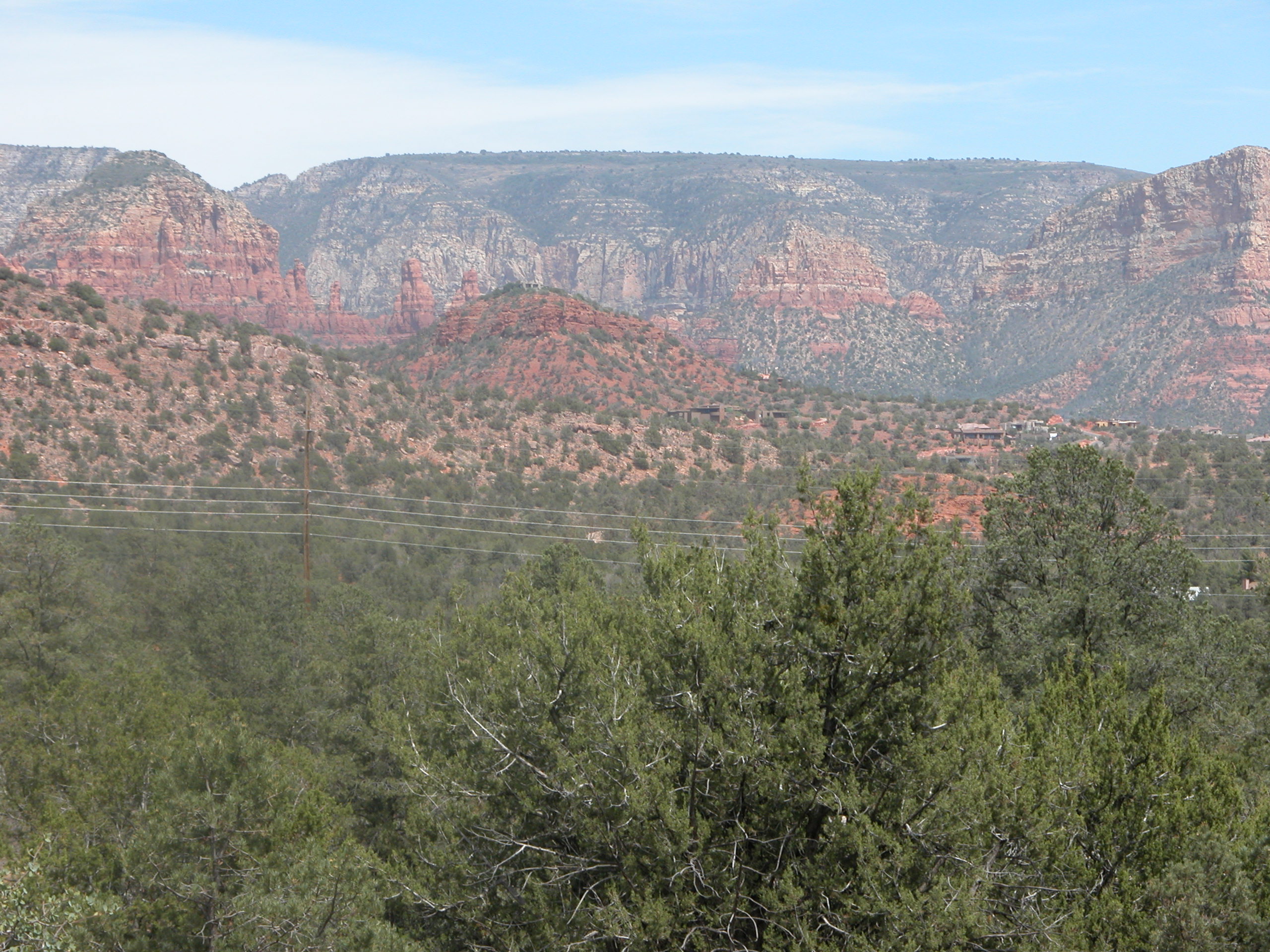
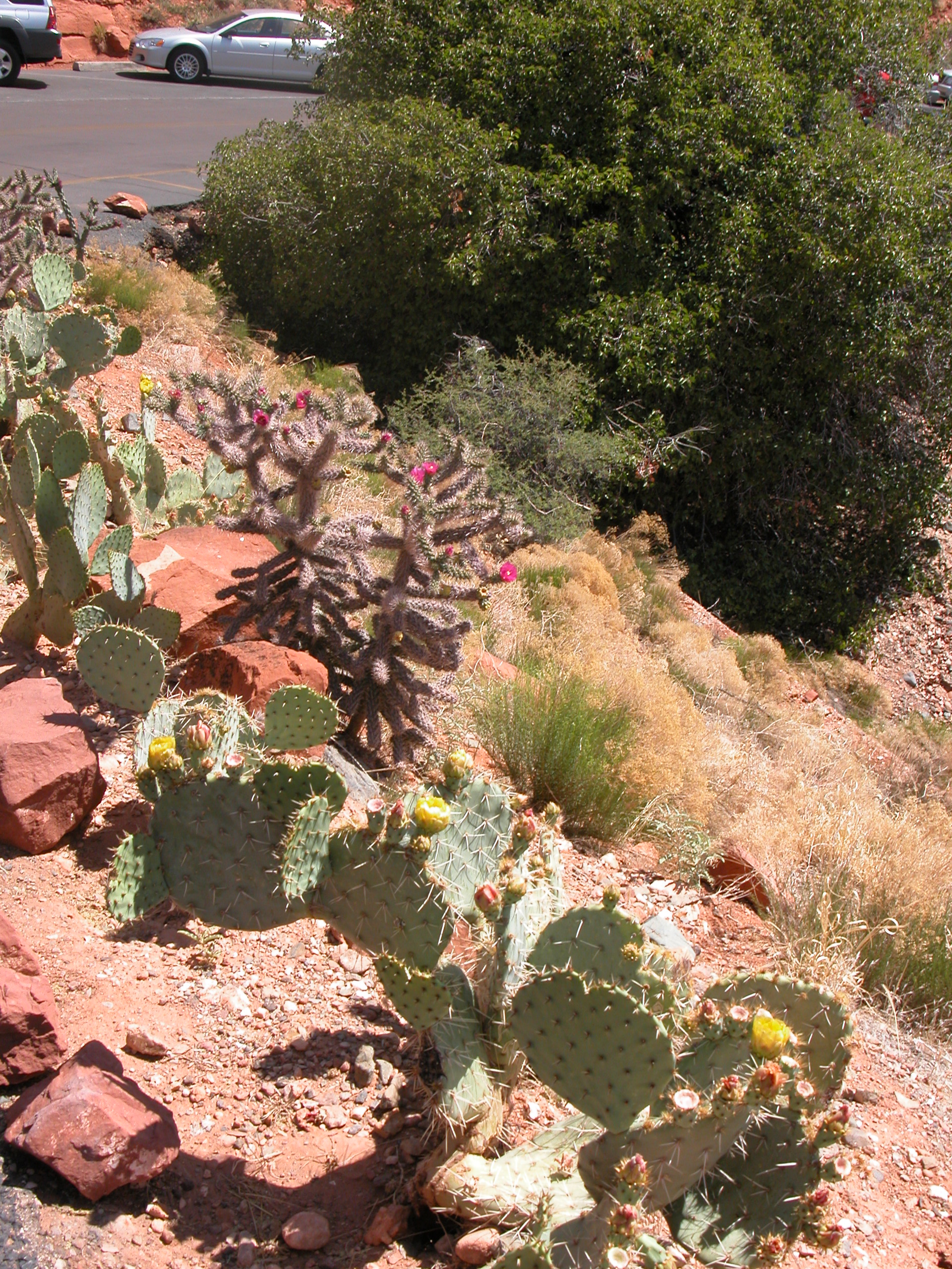
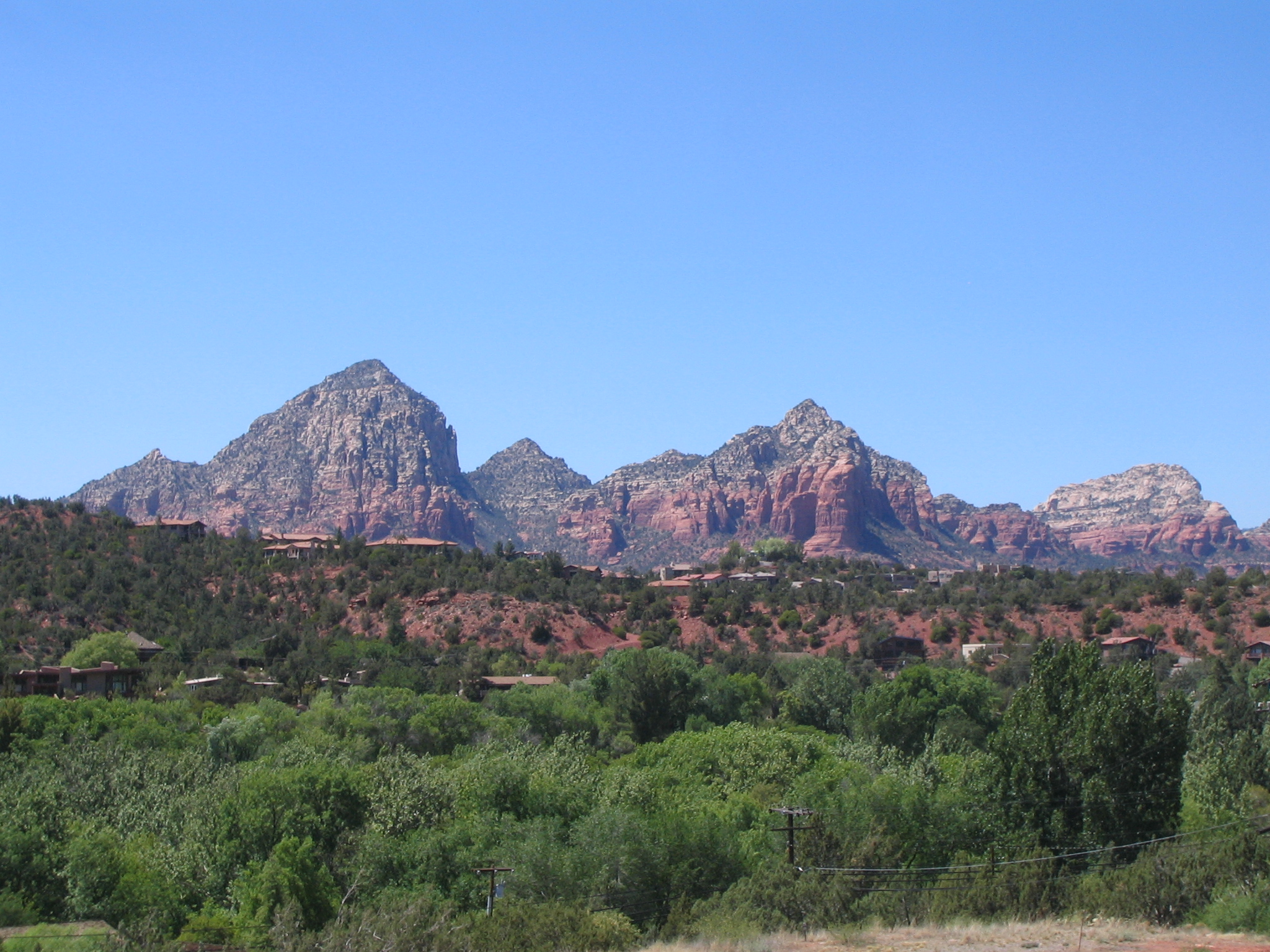
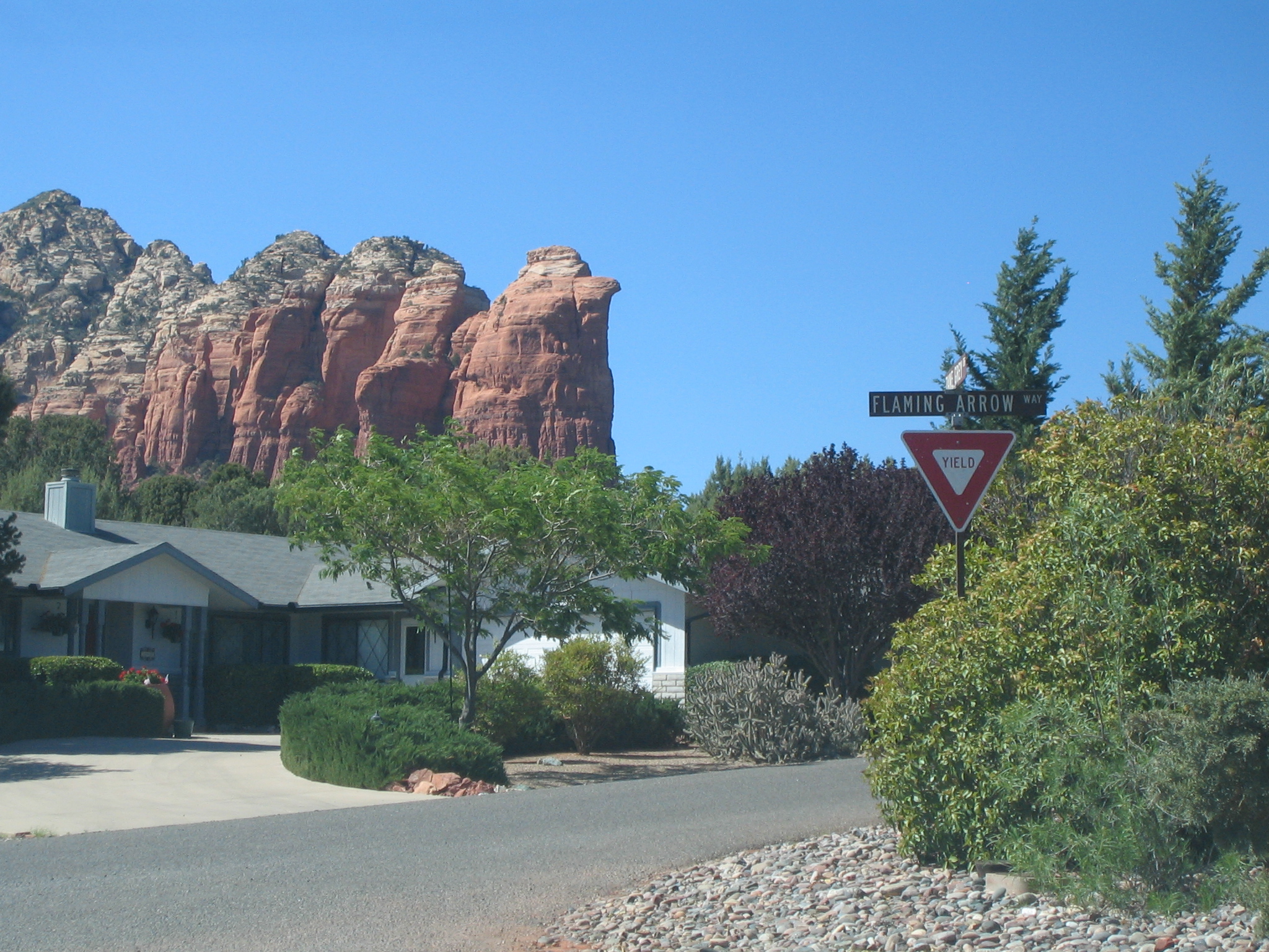
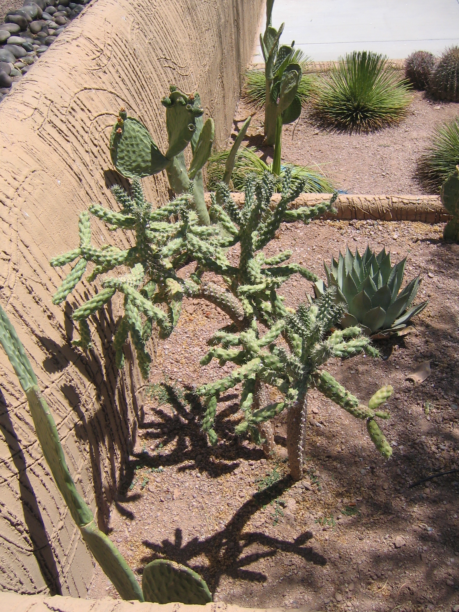
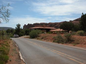
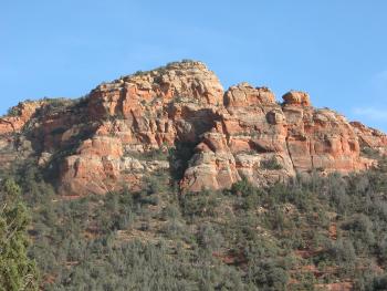
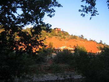
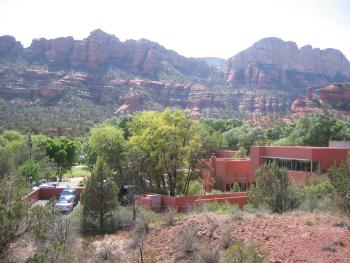
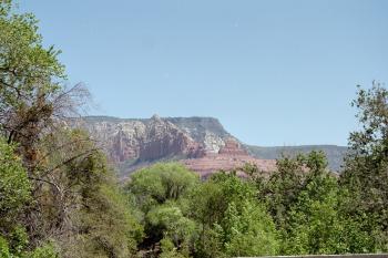
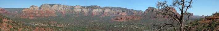
Views driving around Sedona.
|
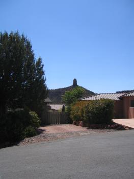
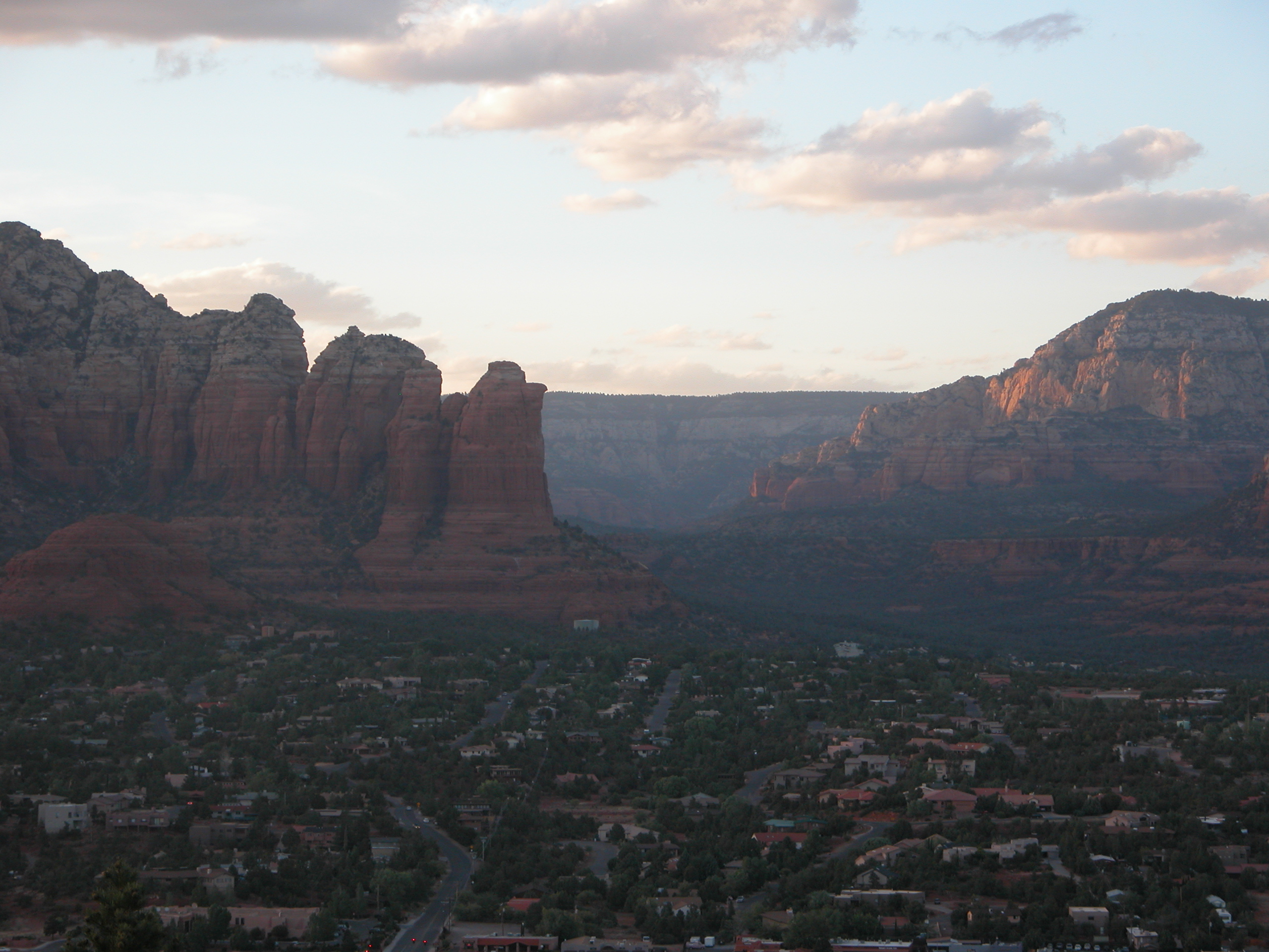
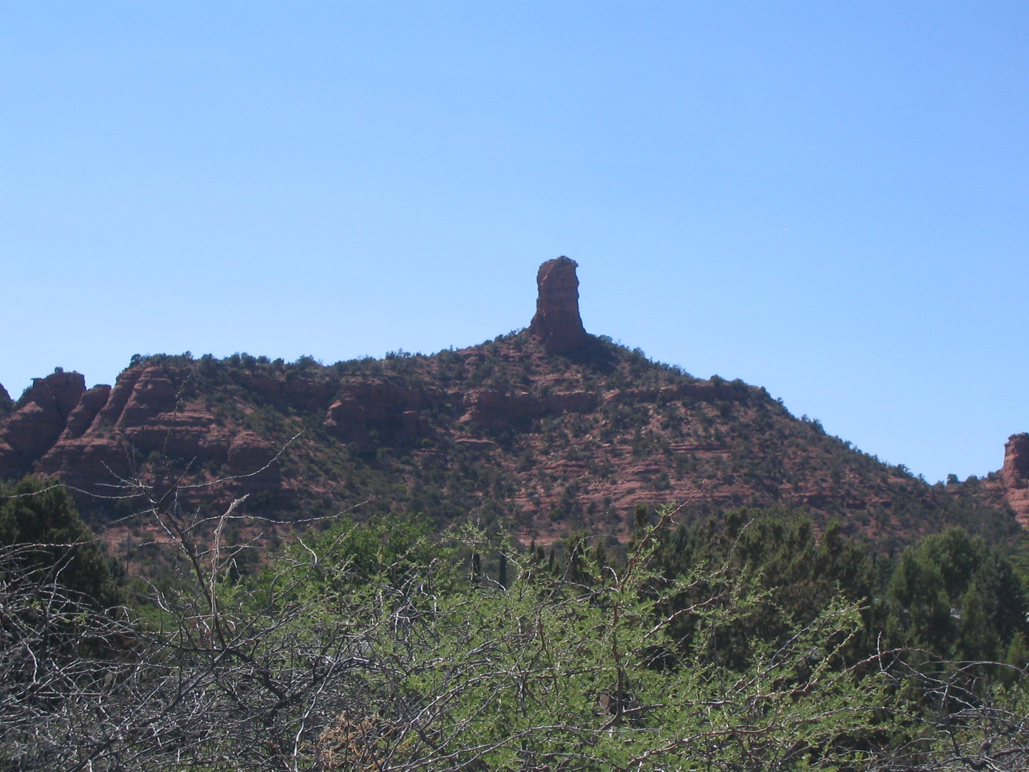
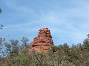
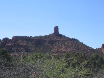
Chimney rock.
|
|
|
|
|
|

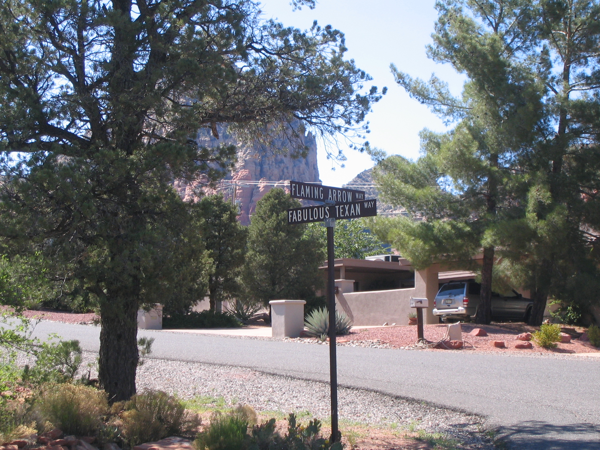
There are some funny street names in Sedona :)
|
|
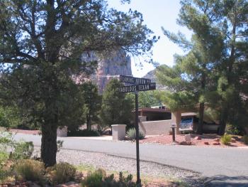
Flaming Arrow way and Fabulous Texan way
|

|
|
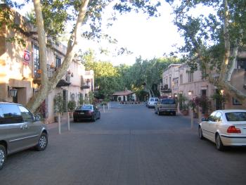
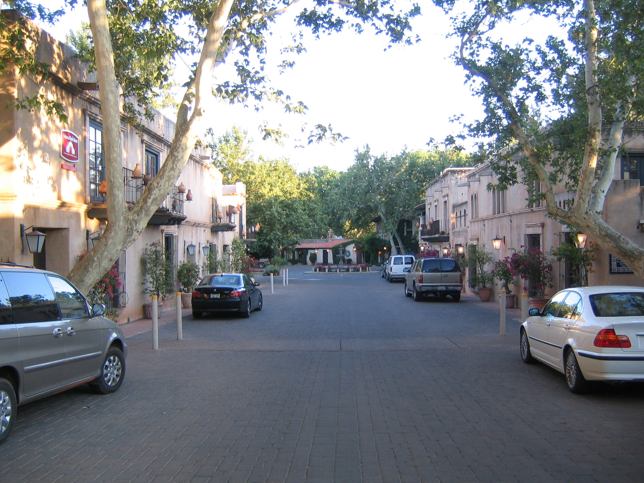
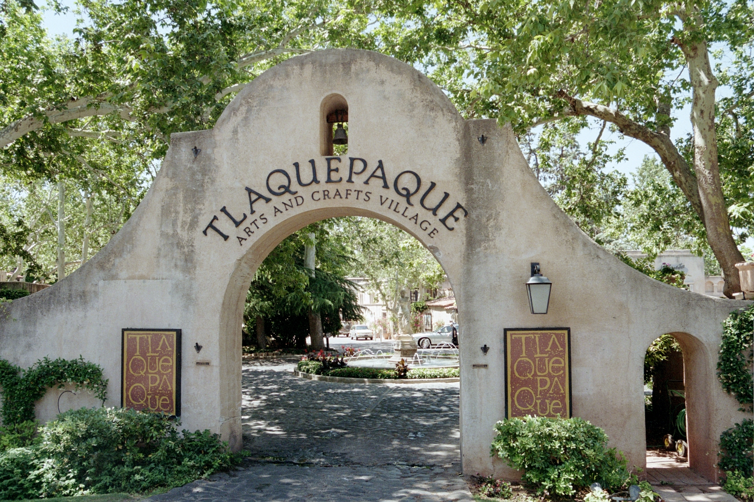
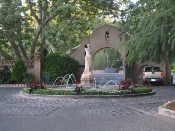
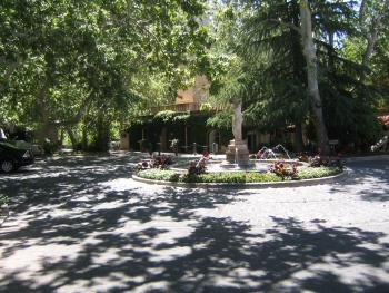
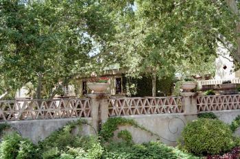
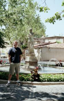
Tlaquepaque
|
|
|
|
|
|
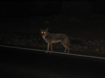
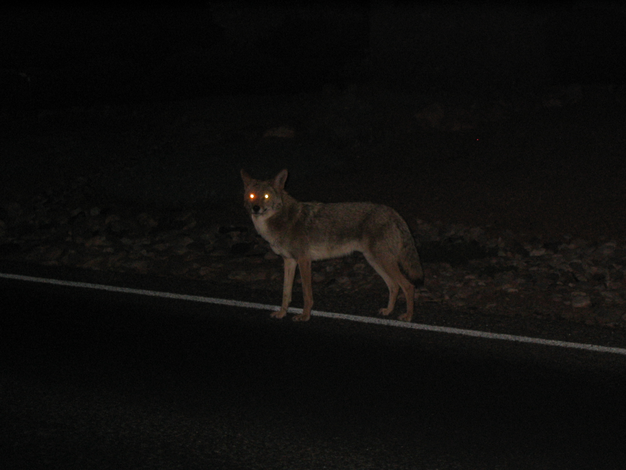
A coyote along a road at night.
|
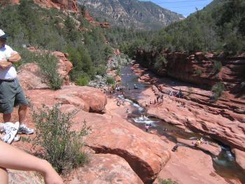
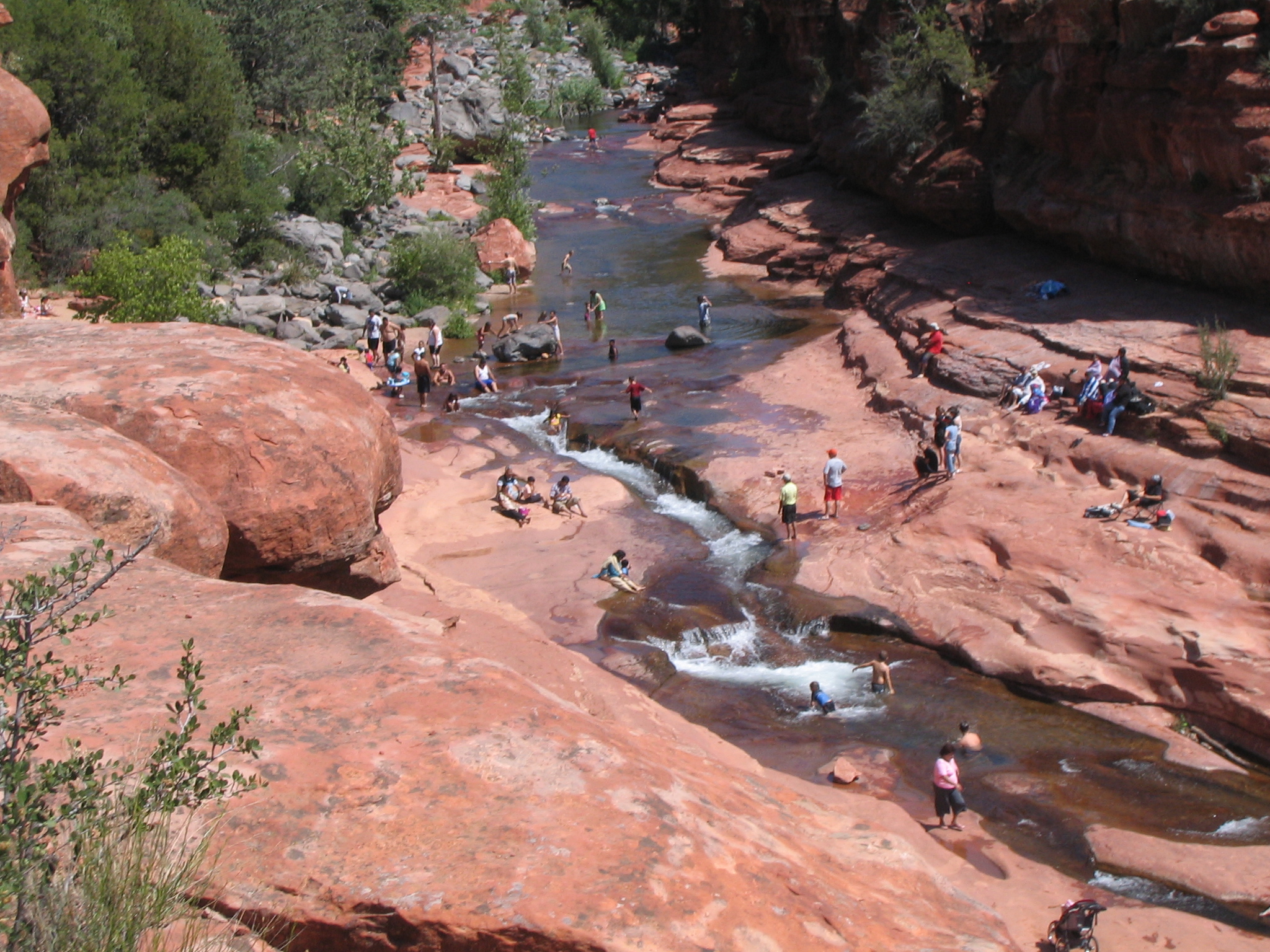
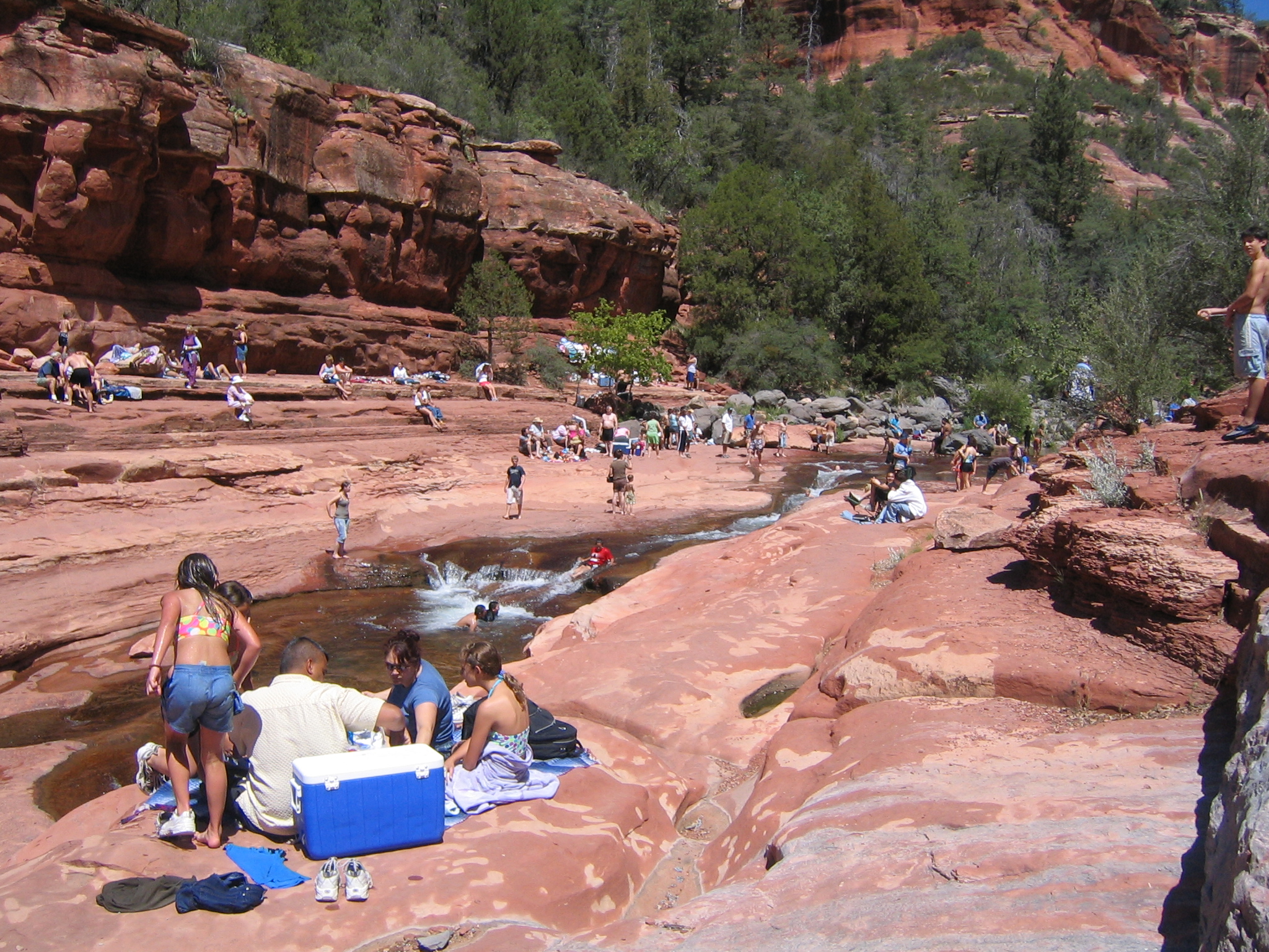
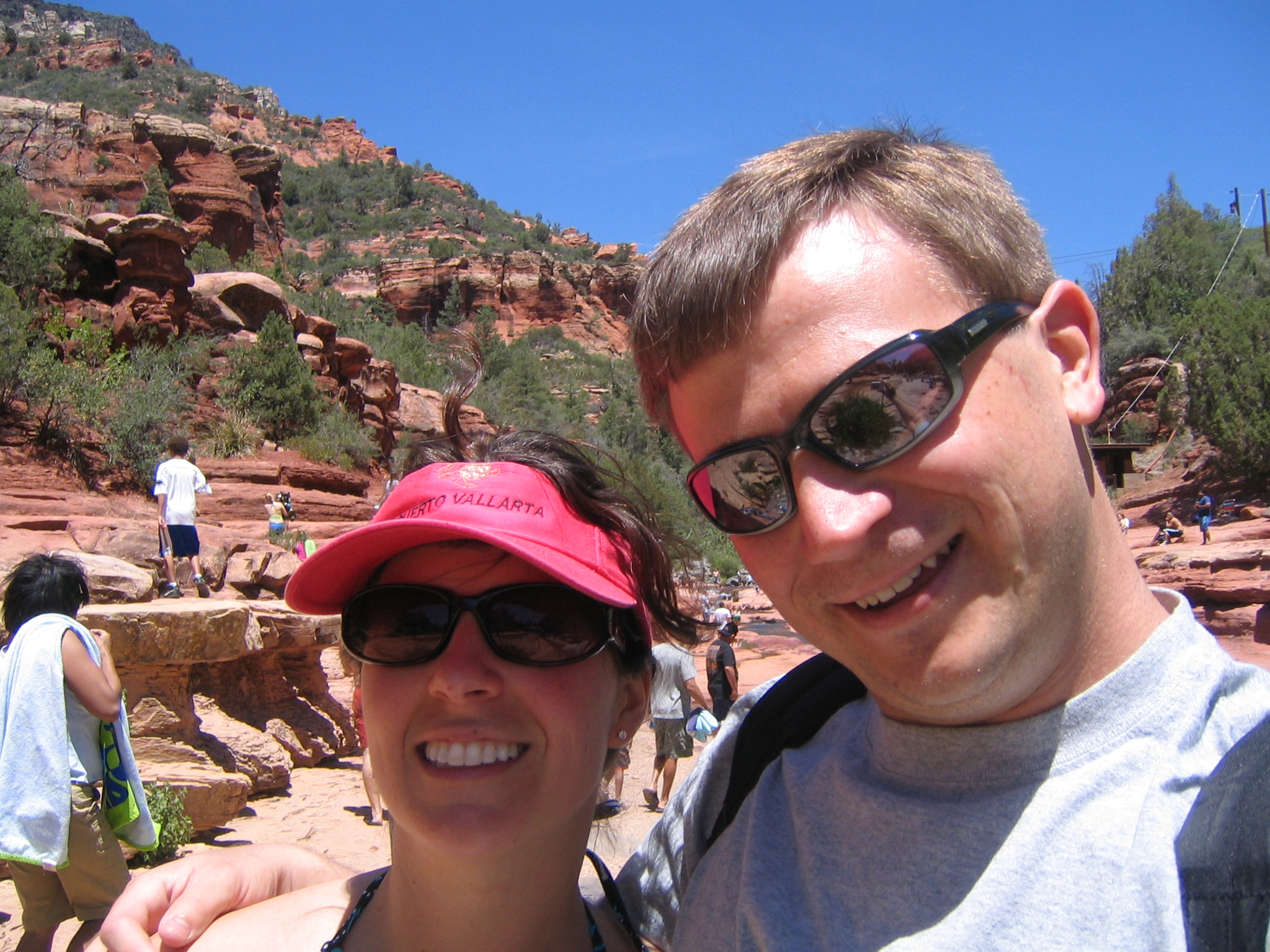
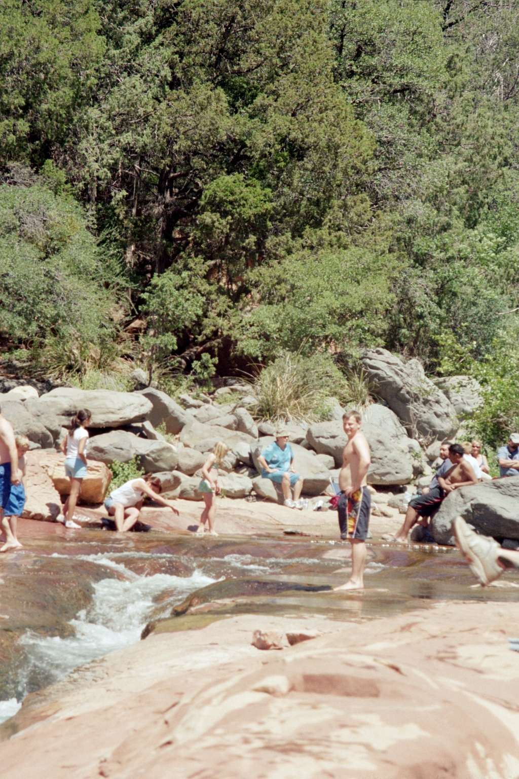
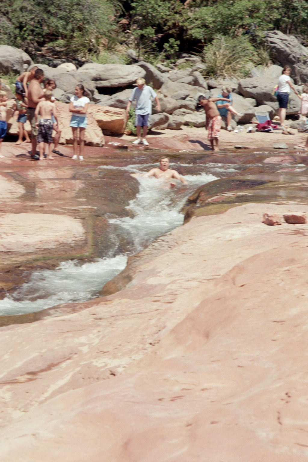
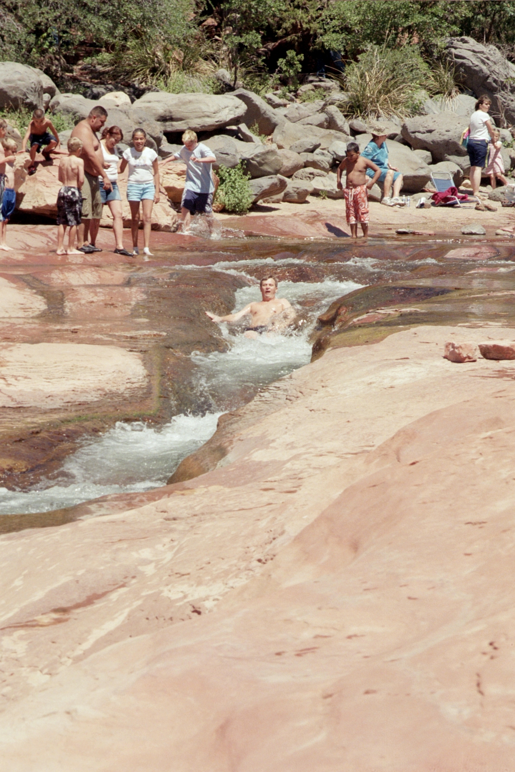
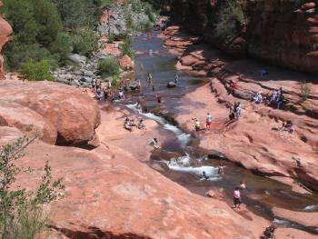
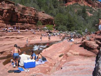
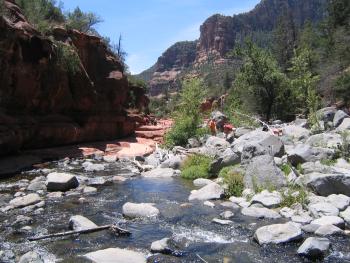
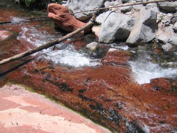
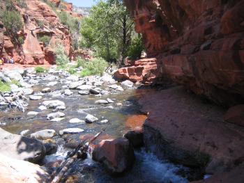
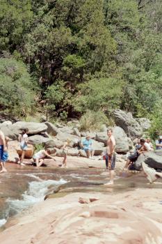
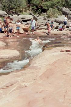
Slide rock. This is a state park where you can jump in the river and ride down a small "slide" made by erosion in the rocks. By noon it was packed. I went down once - the water was SO cold despite being 80+ degrees out since it was snowmelt.
|
|
|
|
|

|

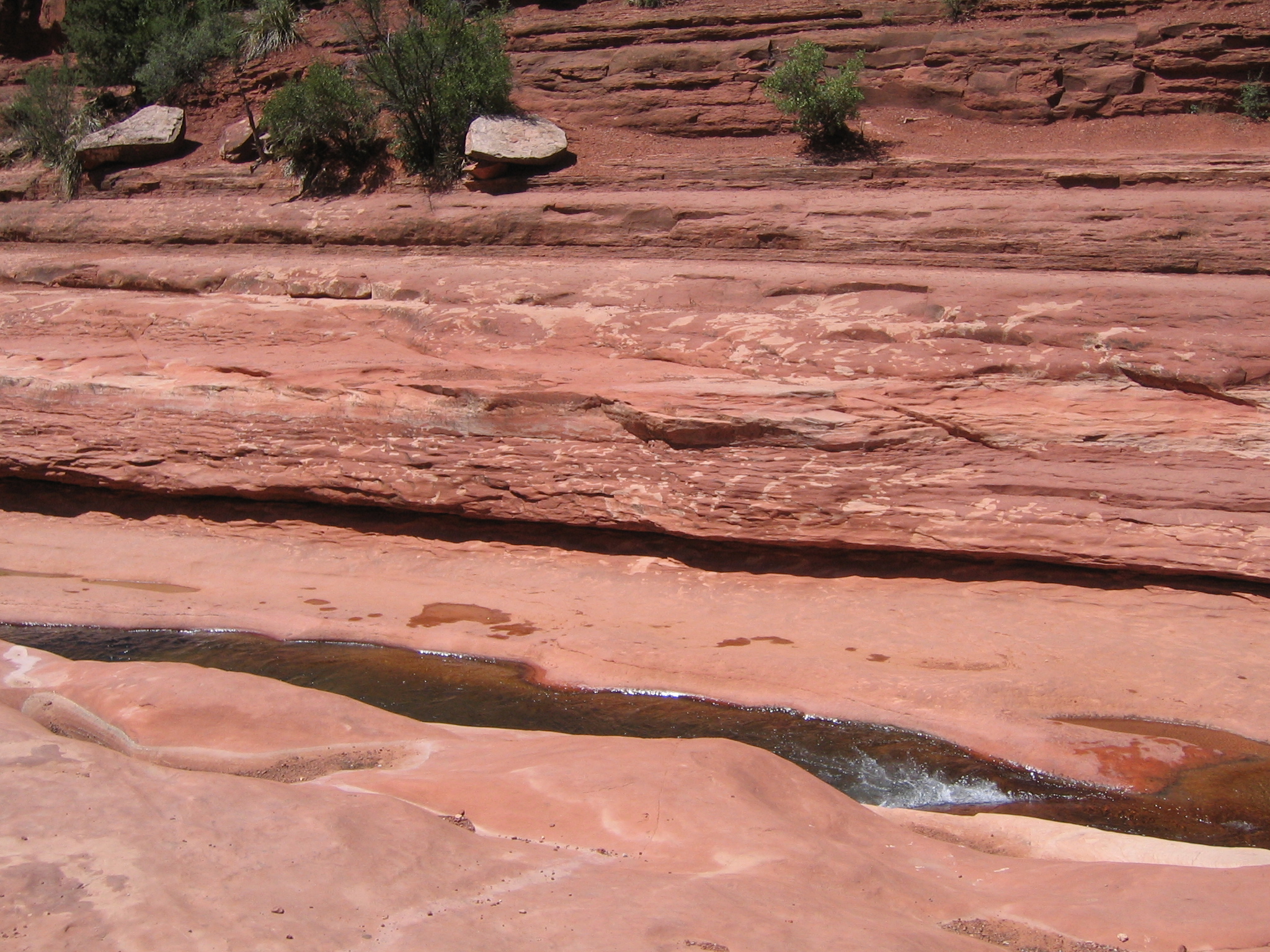
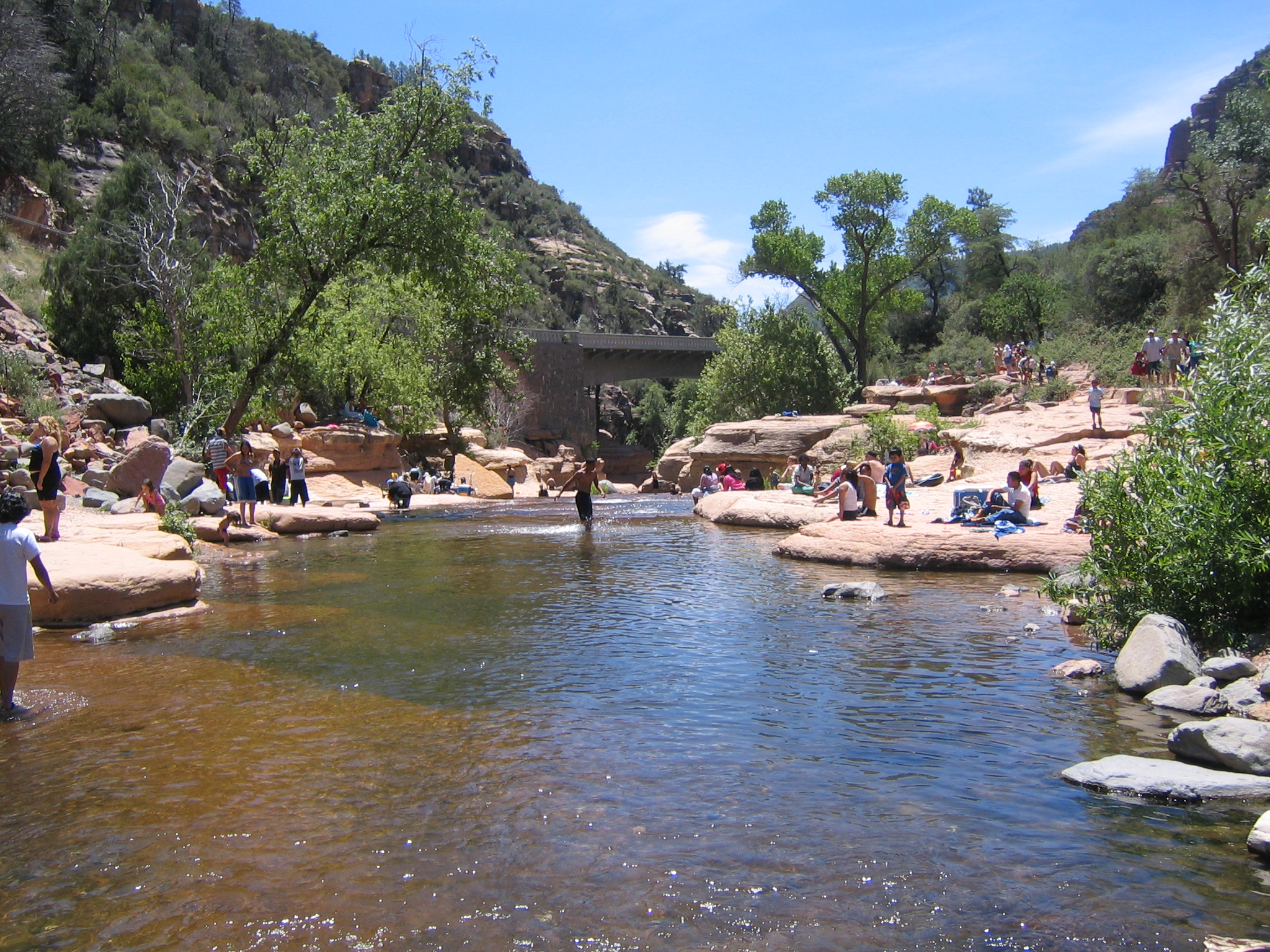
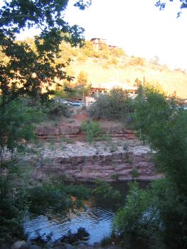
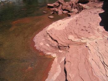
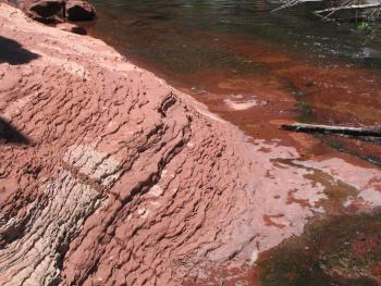
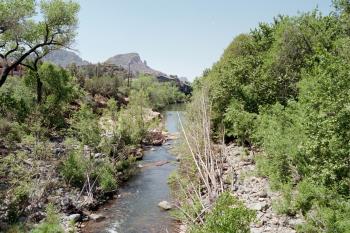
Views from the river
|
|
|
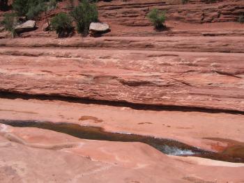
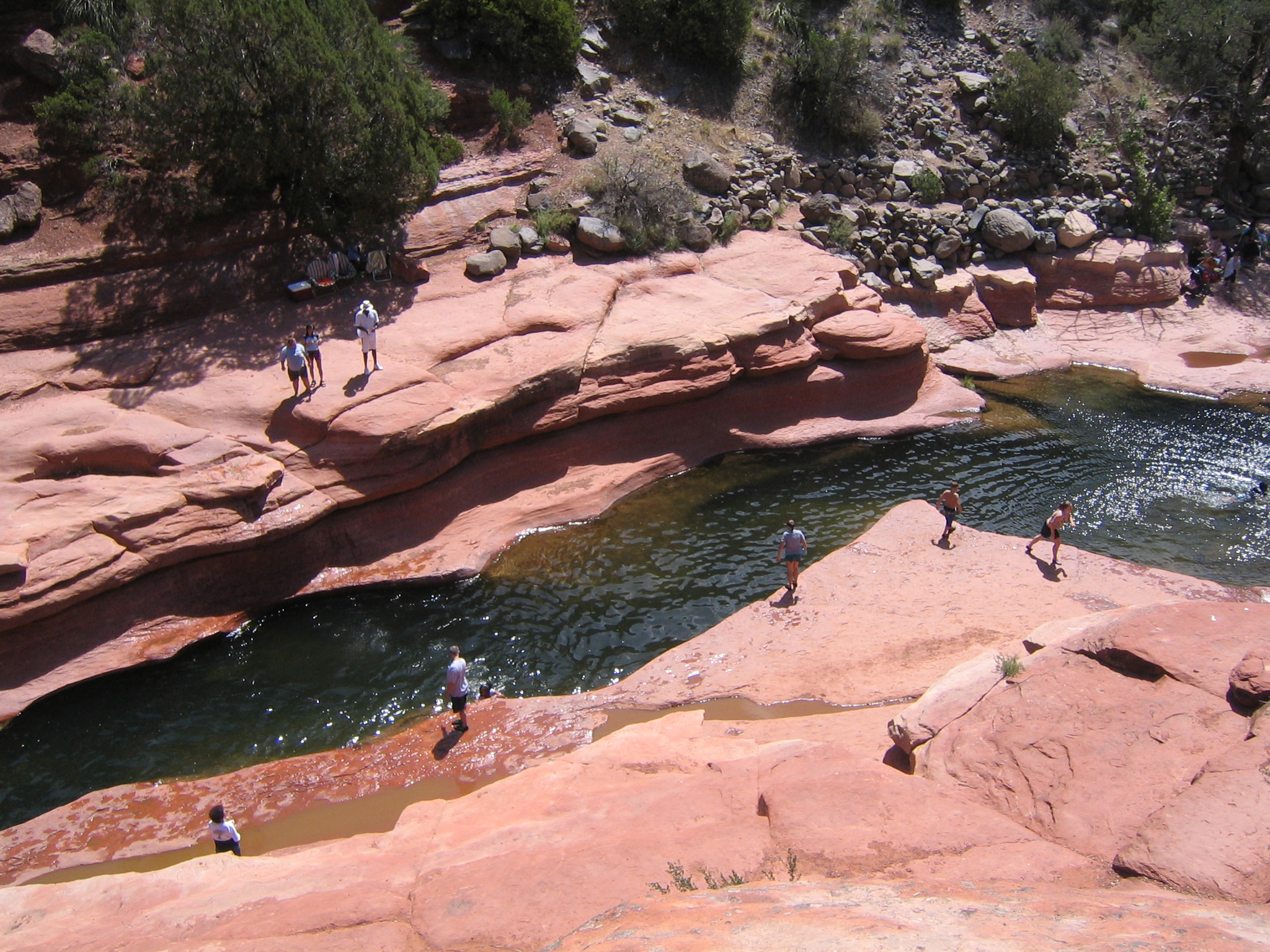
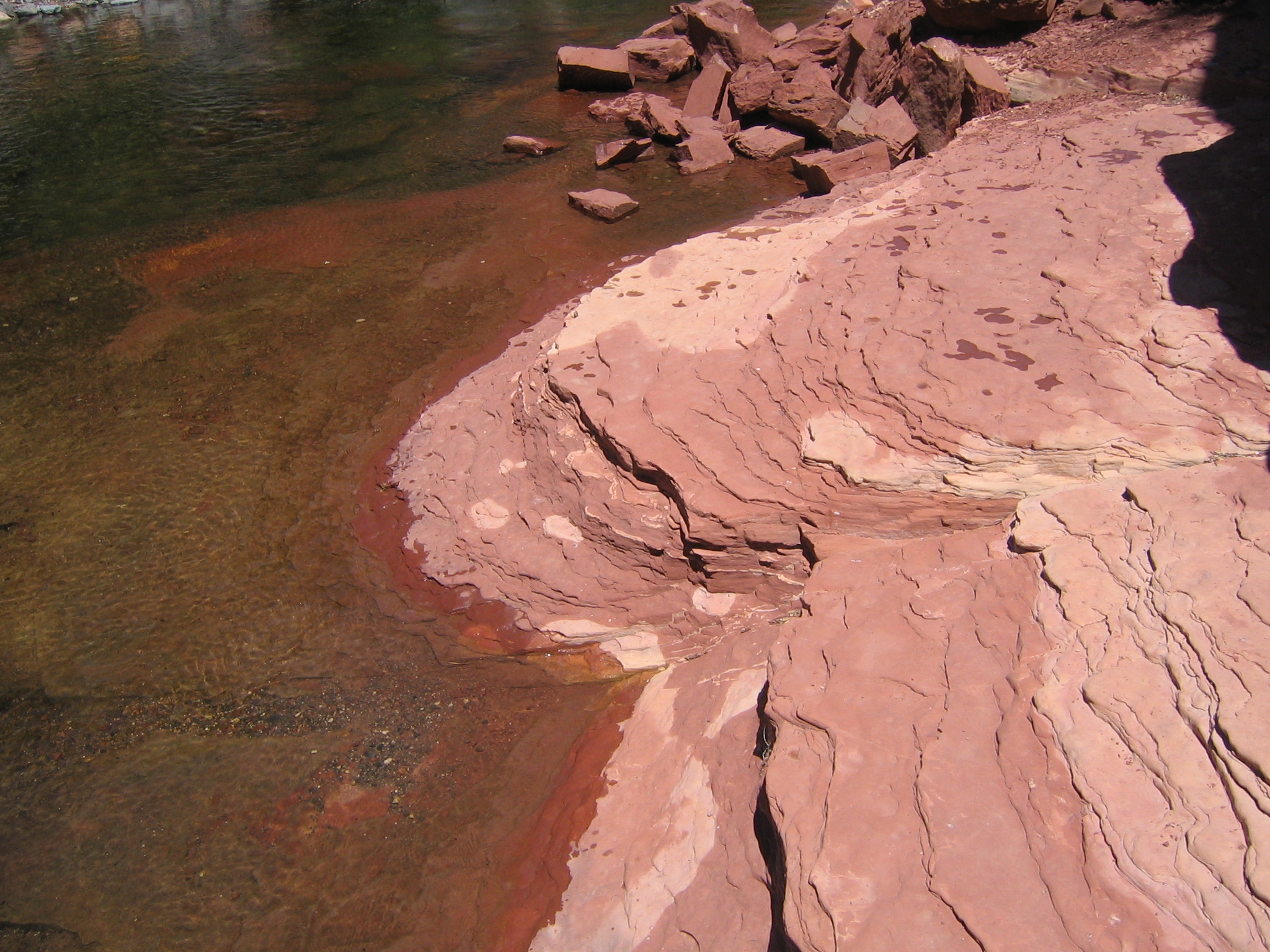
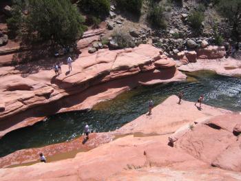
I wandered off for a little while upstream...
|
|
|
|
|
|
|
|
|

|
|

|
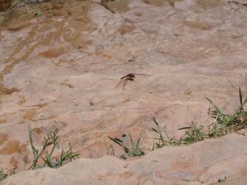
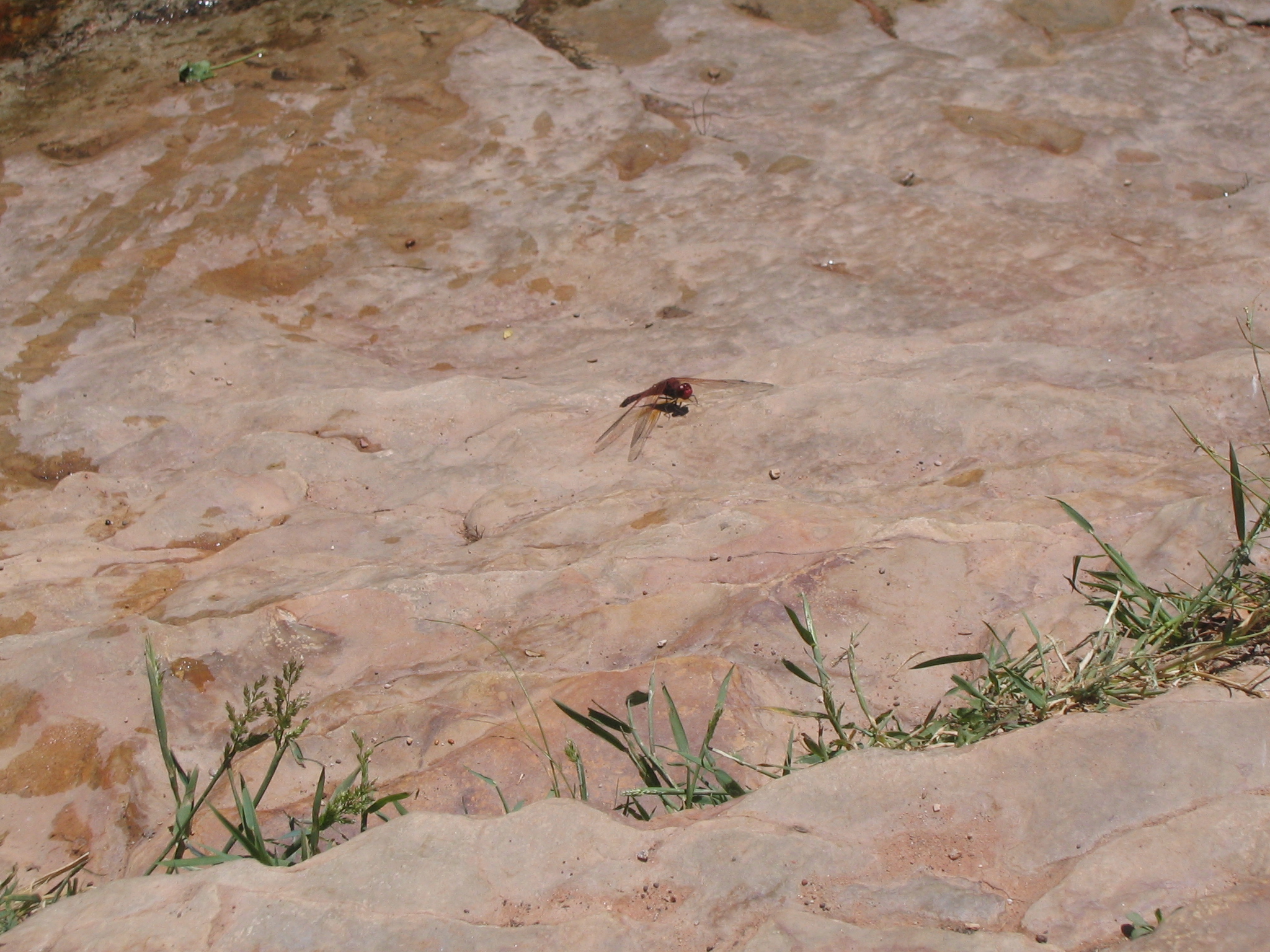
A dragonfly
|
|
|
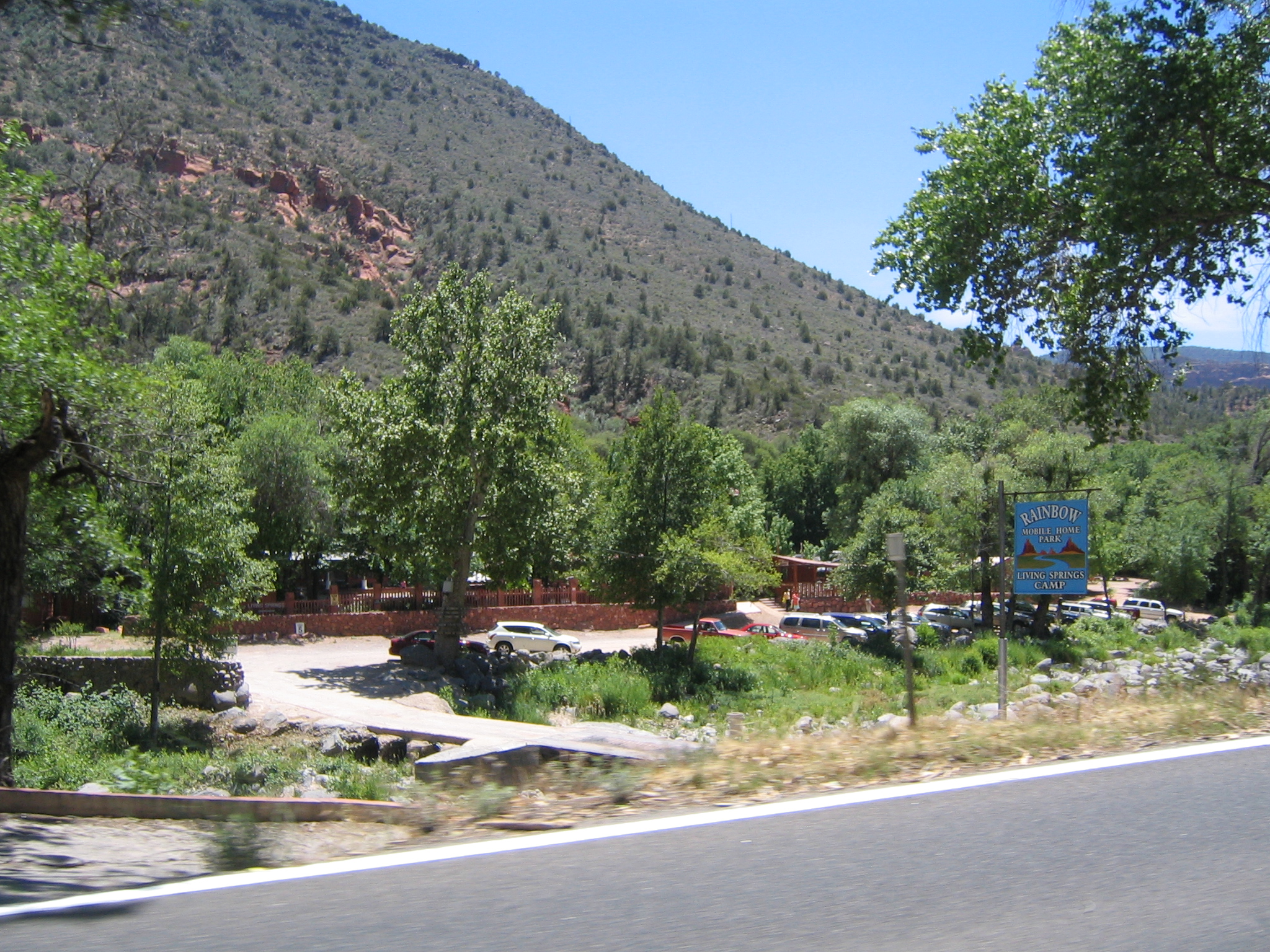
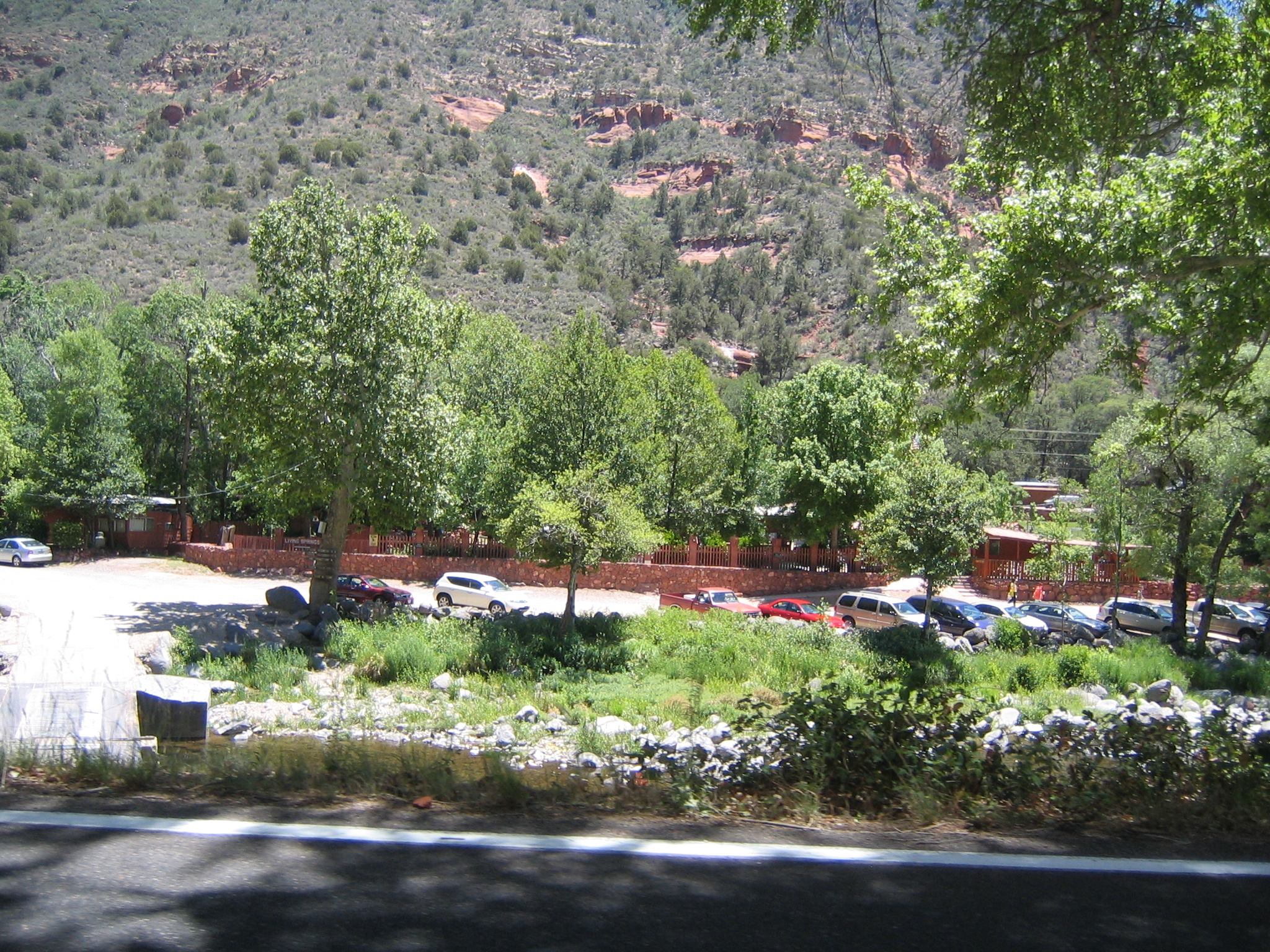
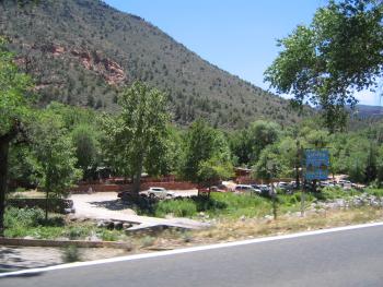
Rainbow Trout Farm!
|
|
View from the patio of the lunch place we ate at
|
|
|

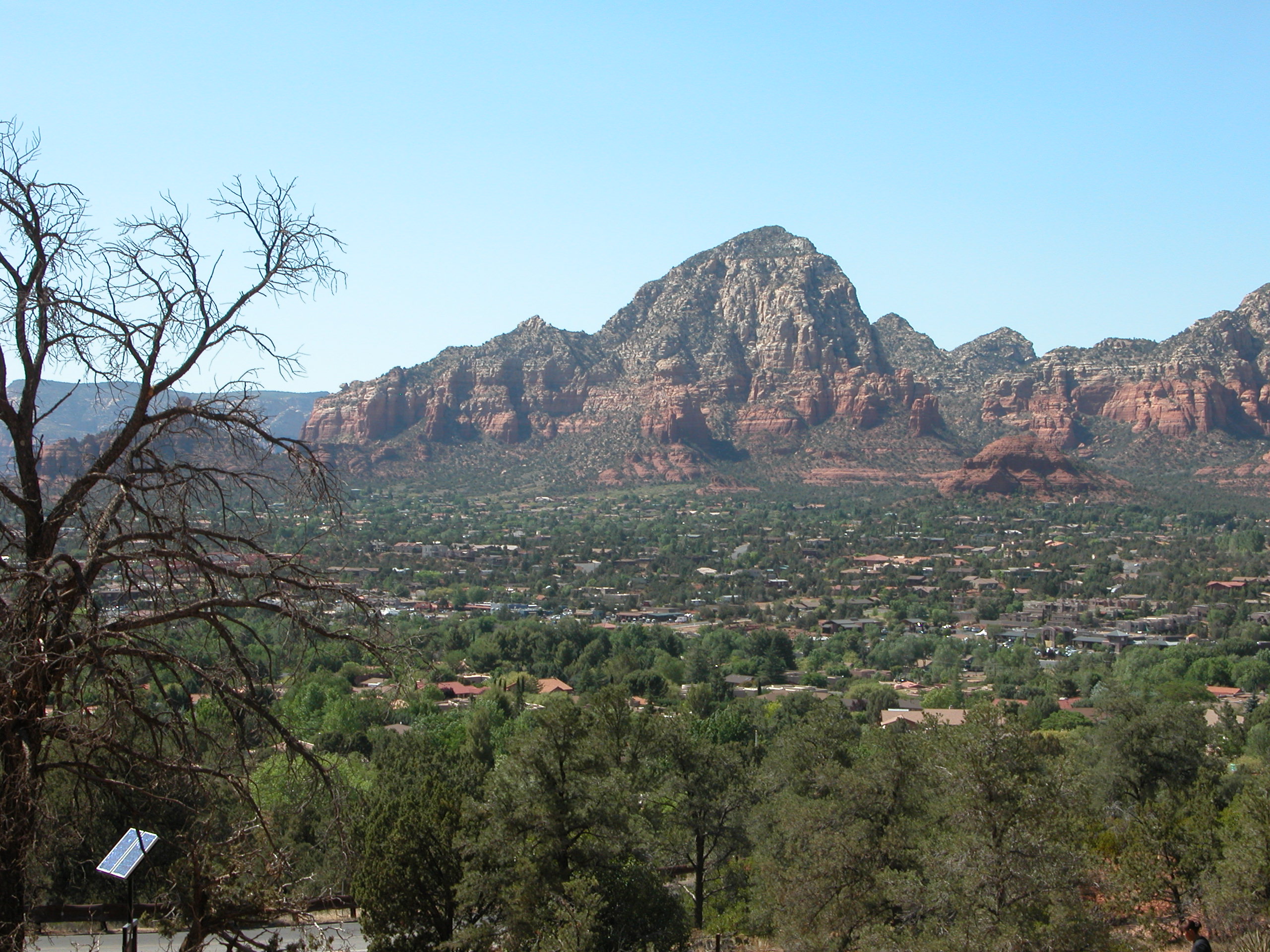
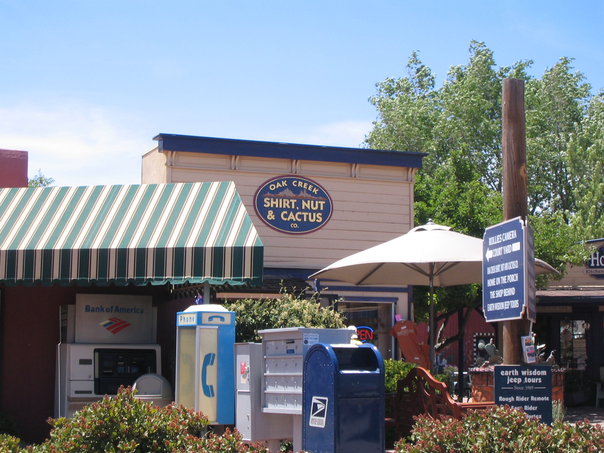
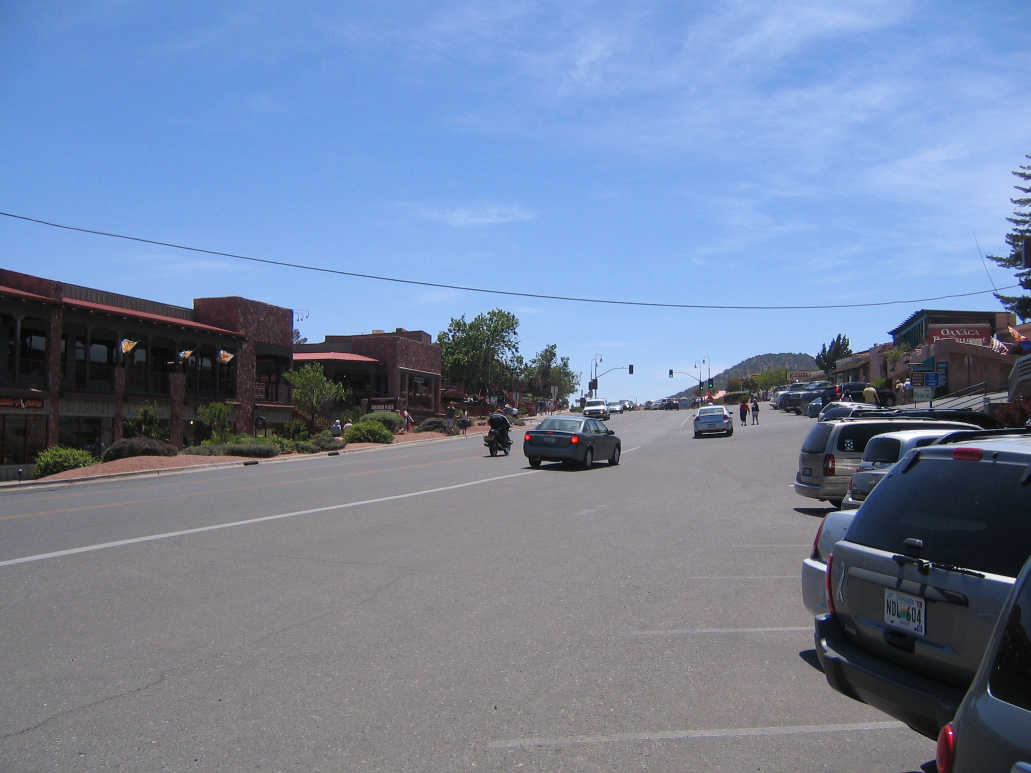
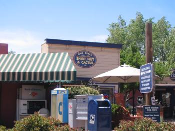
"Old town" Sedona's main drag
|
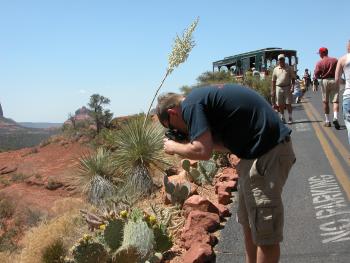
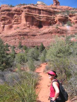
More hiking shots
|
|

|
|
|
|

|
|

|
|
|
|
|
|
|

|
|
|
|
|
|
|
|
|
|
|
|

|
|

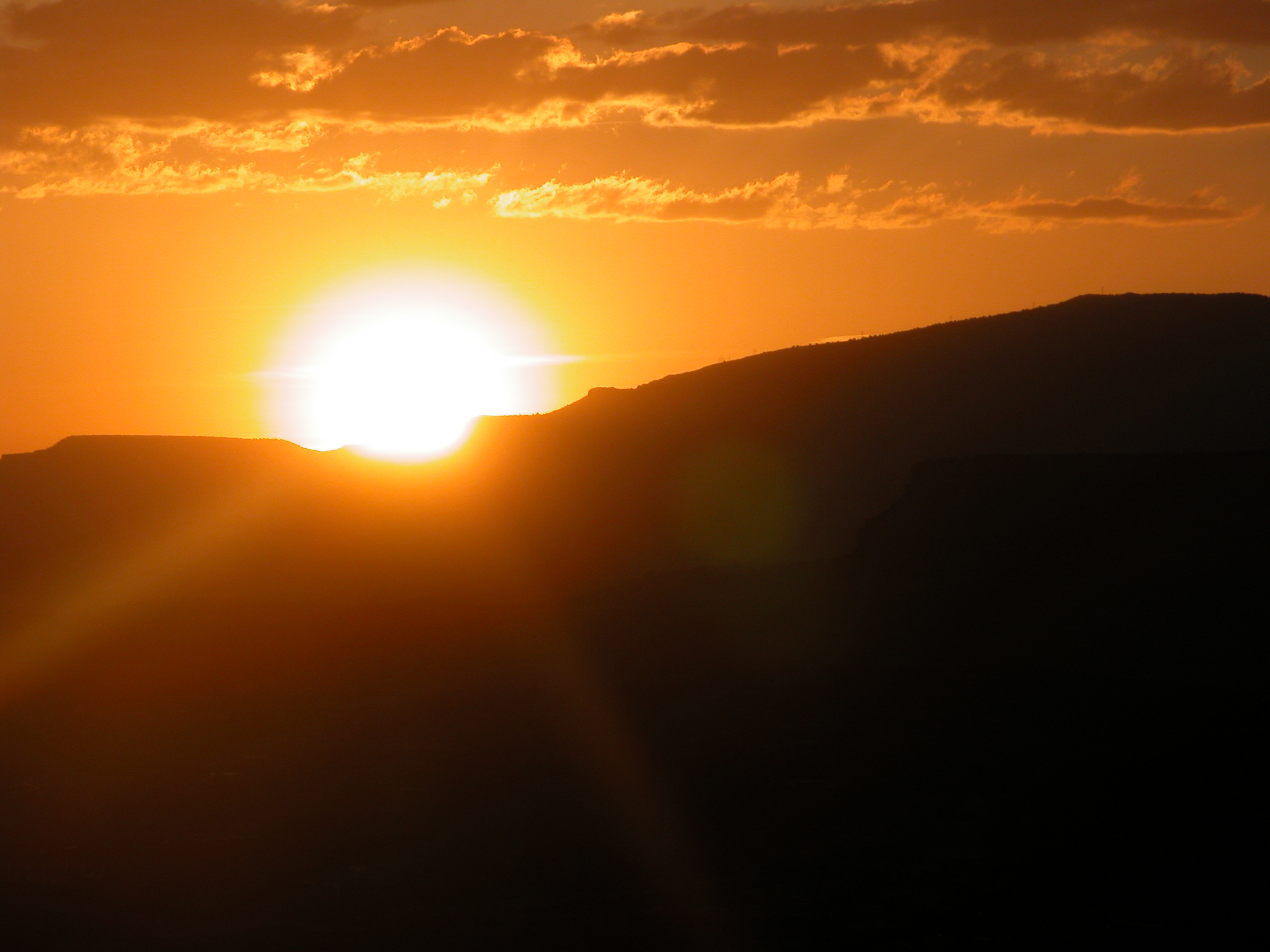
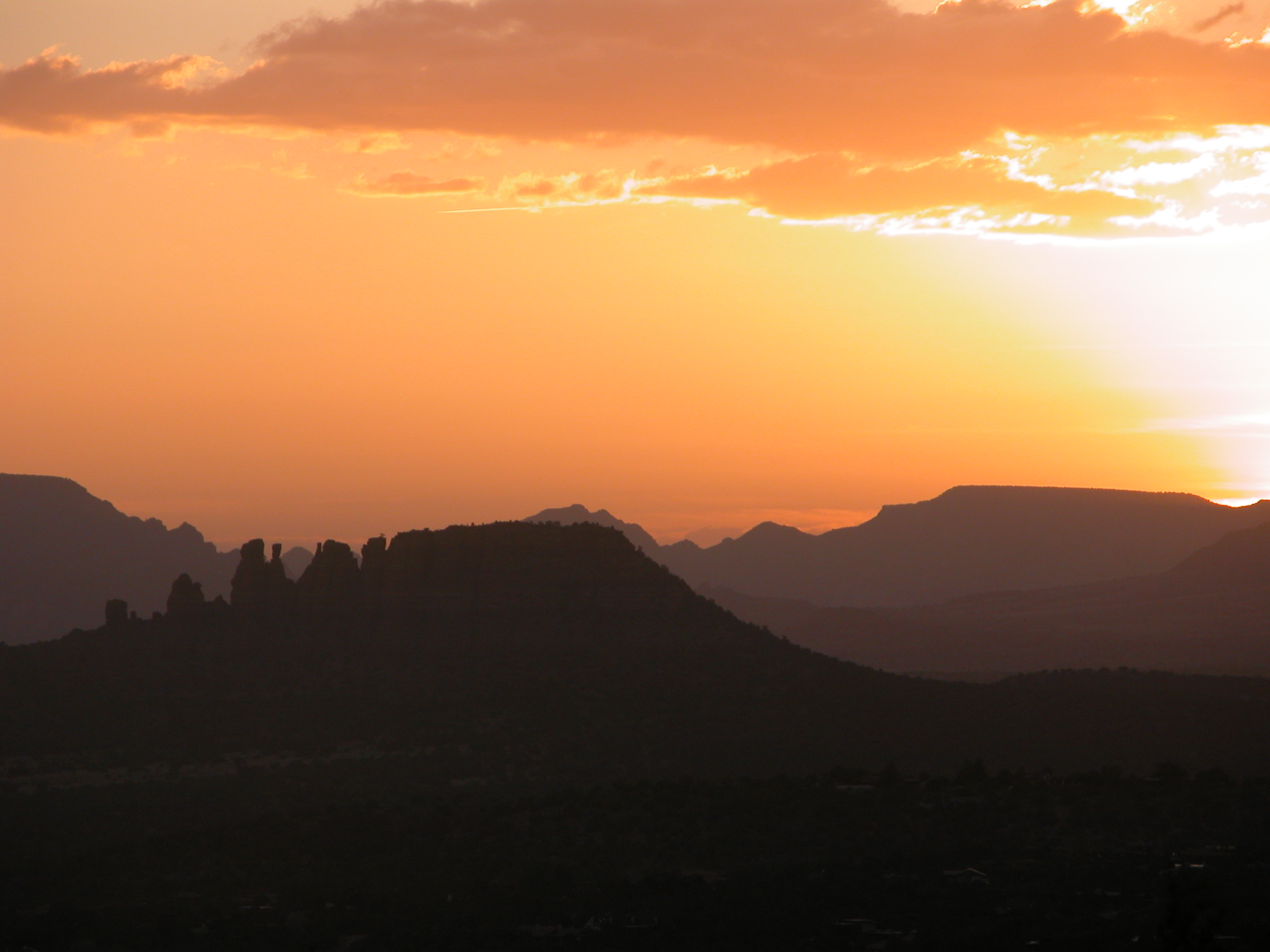
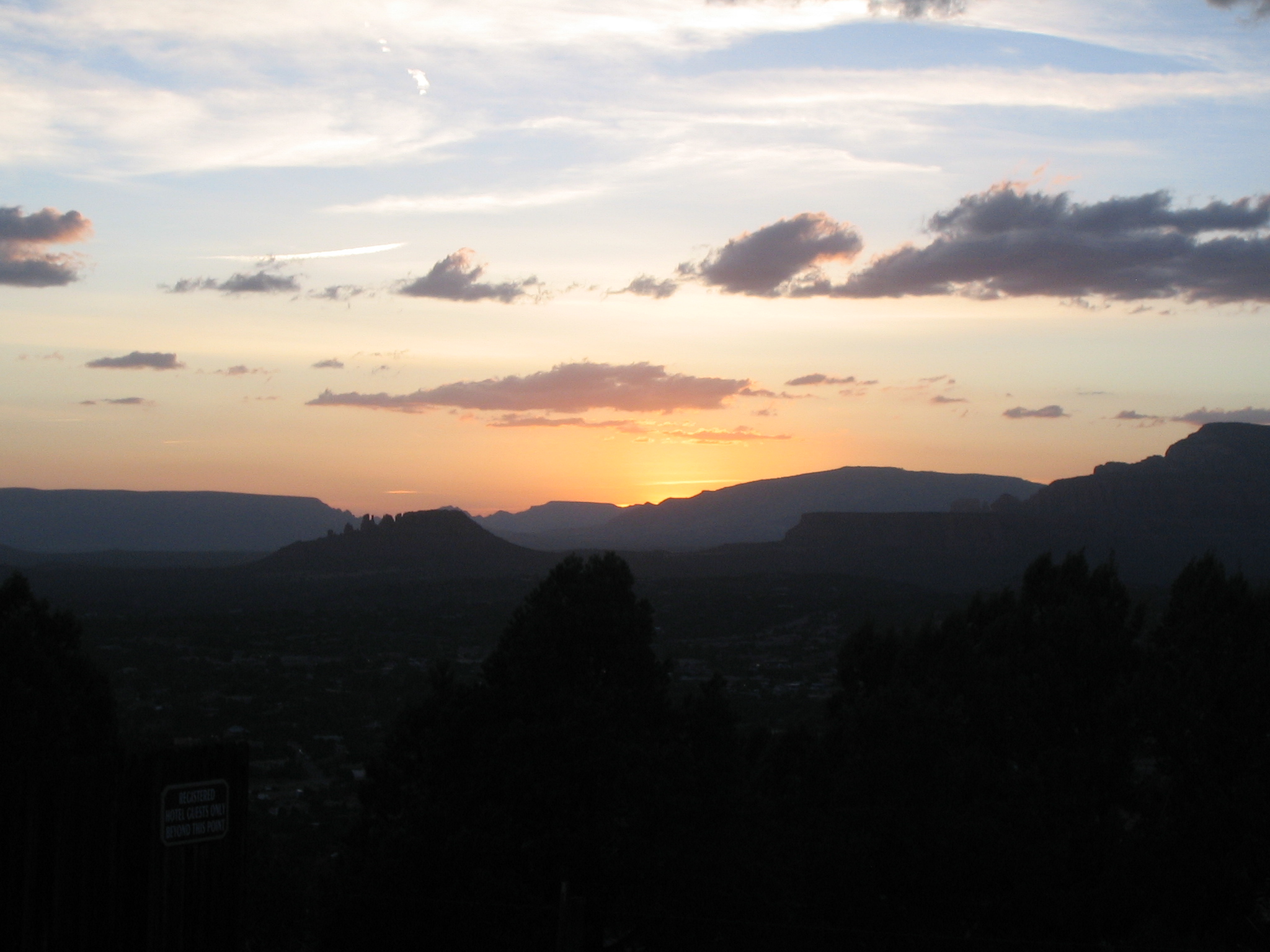
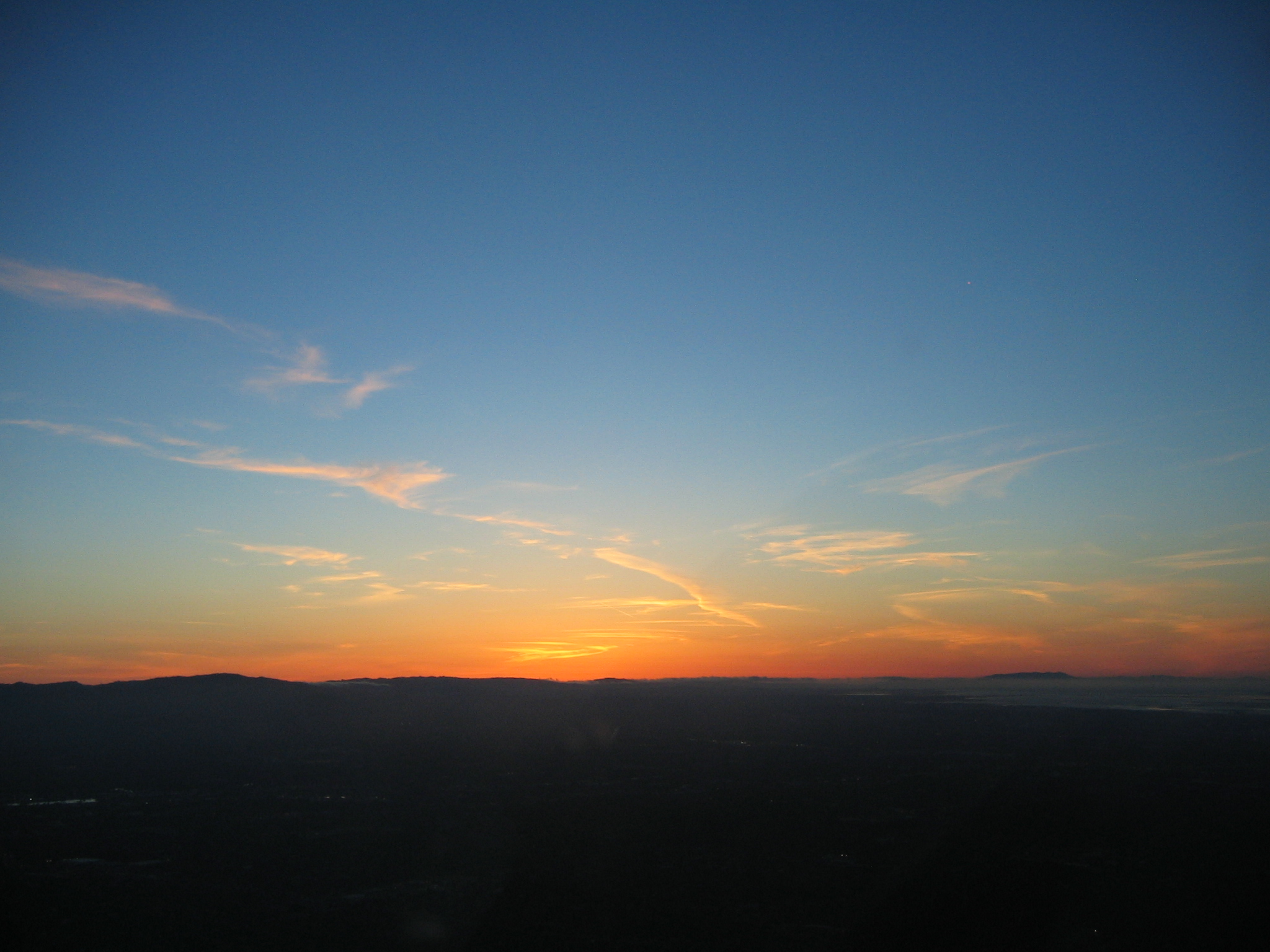
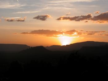
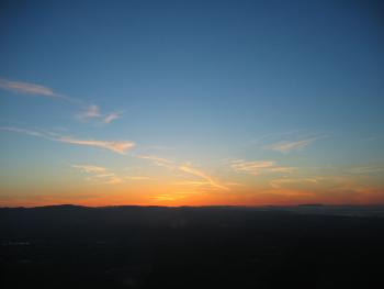
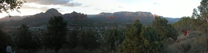
Back at Airport Mesa for sunset
|
|
|
|
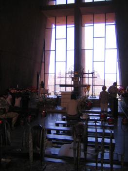
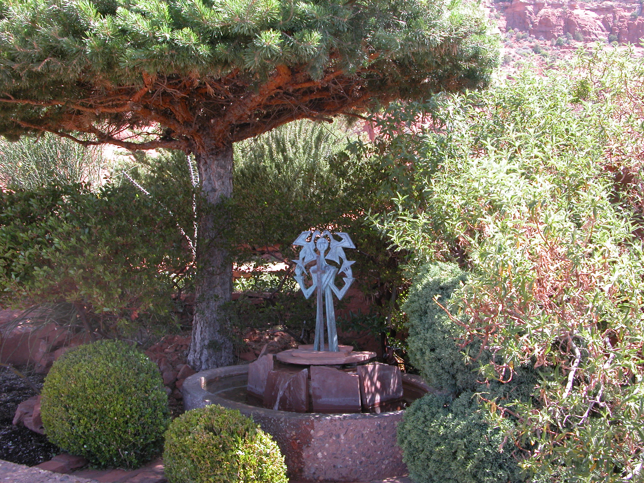
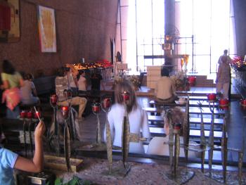
View inside the Chapel of the Holy Cross
|
|
|
|
|

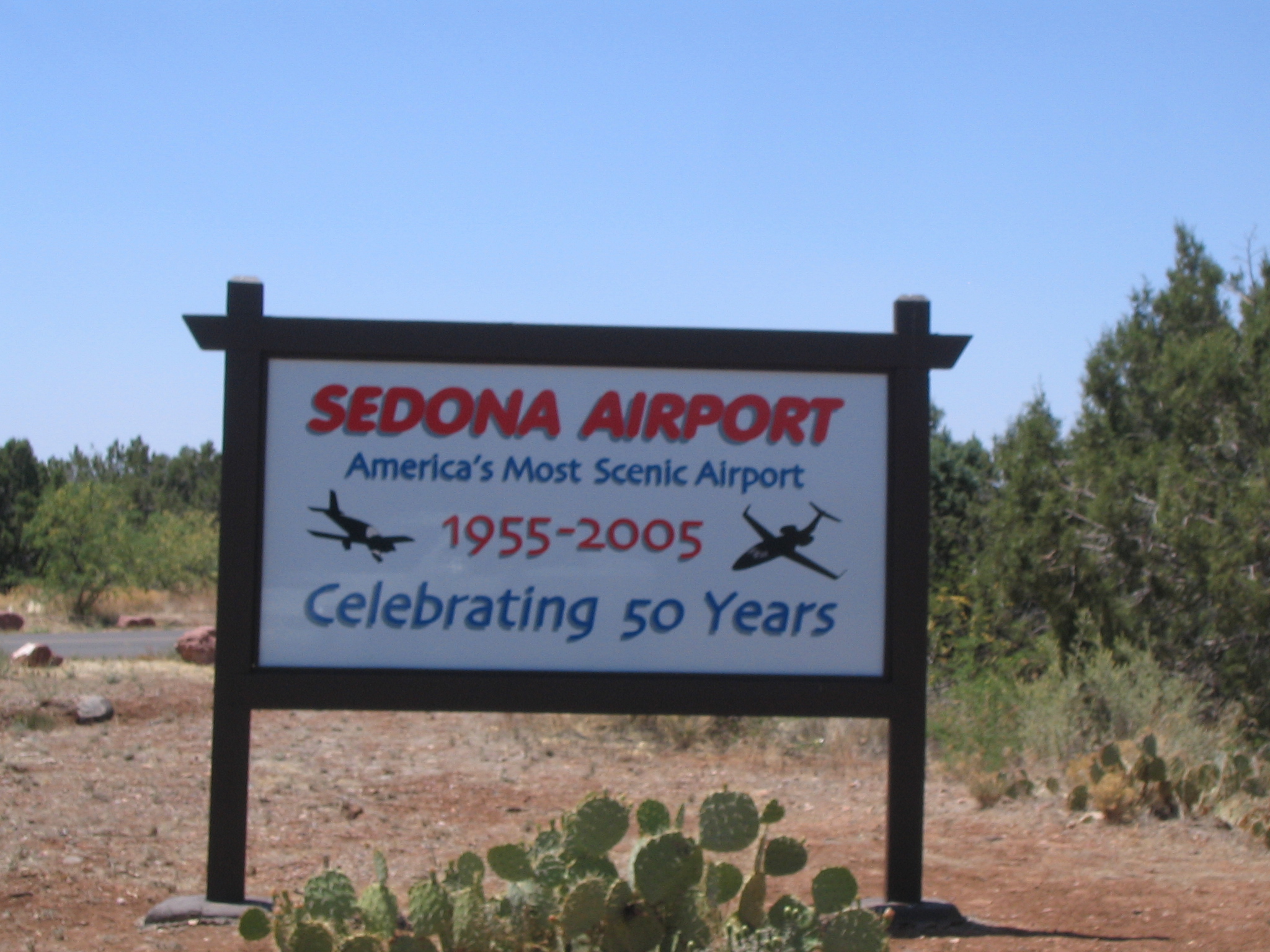
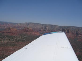
Time to leave unfortunately. It is indeed a beautiful airport on a Mesa in the middle of a valley with red rocks to the North and East.
|
Kristen poses on our magic carpet.
|
|
|
|
|
View out the window just after departure
|
On our way to Phoenix
|
|
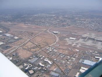
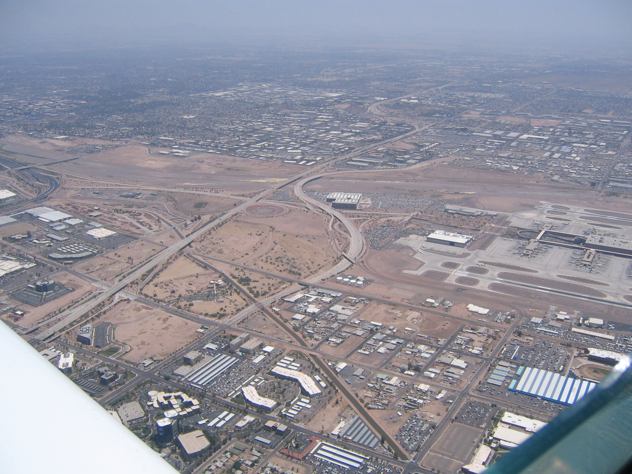
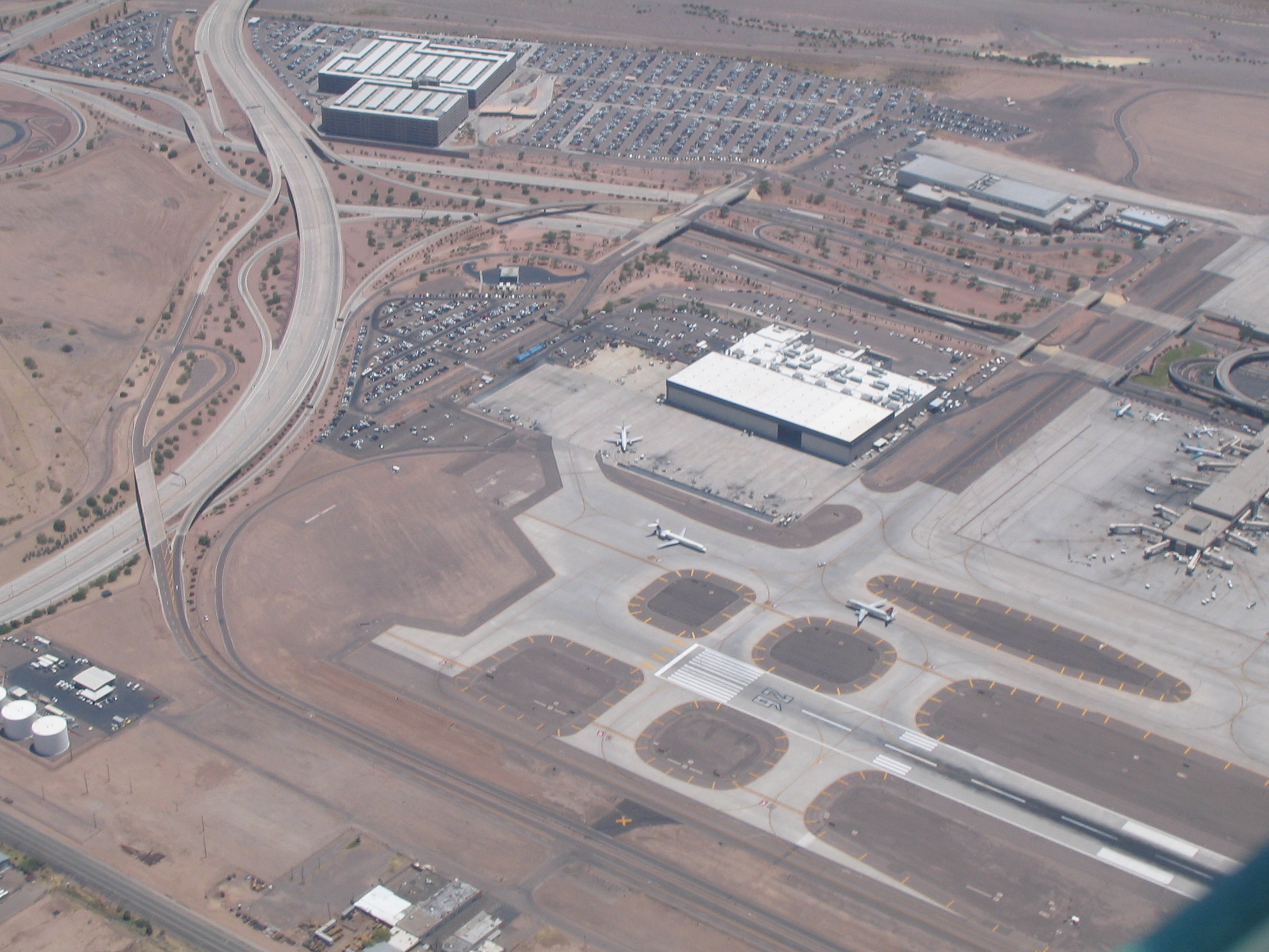
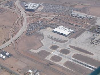
Flying over Phoenix Sky Harbor. We're headed for Chandler air field on the Southeast end of town.
|
|
|

An Indian Casino we went in for 20 mins or so. We left in positive territory. :)
|

|
|

|
|
|
|
Time to head home unfortunately.
|
|
|

|
|

|
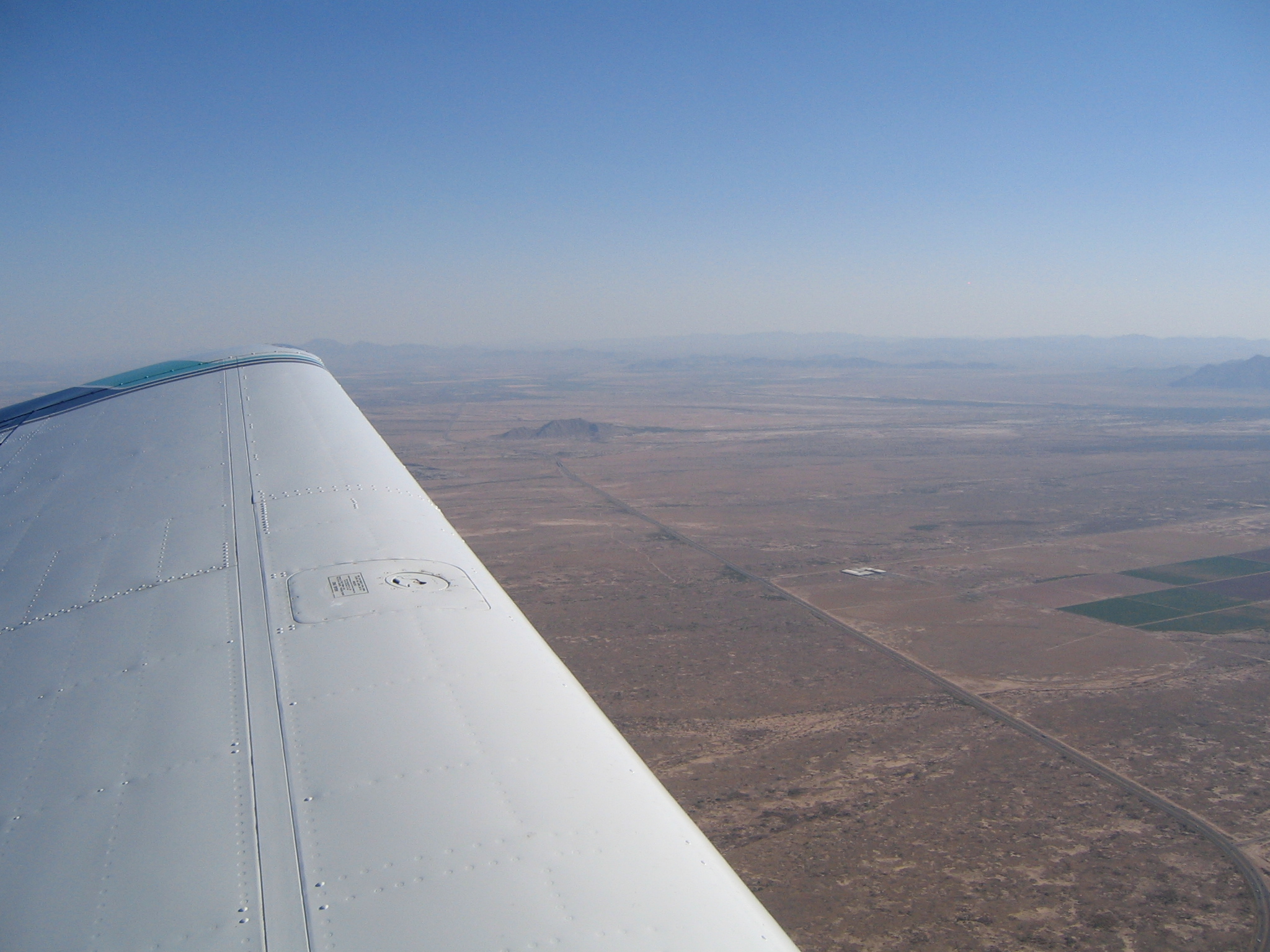
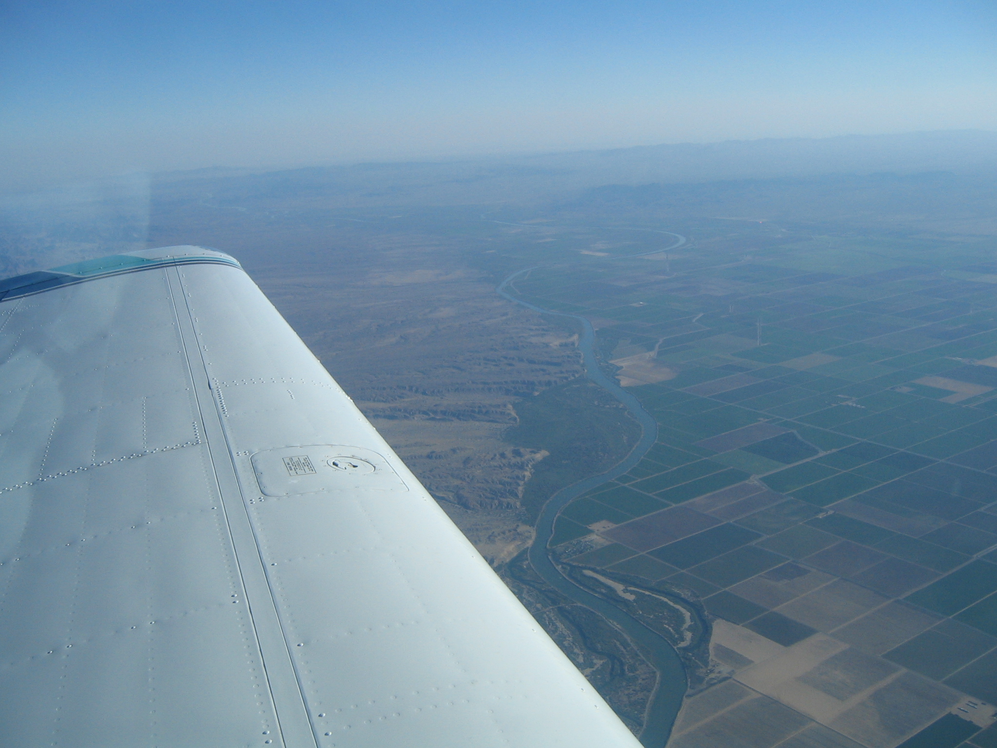
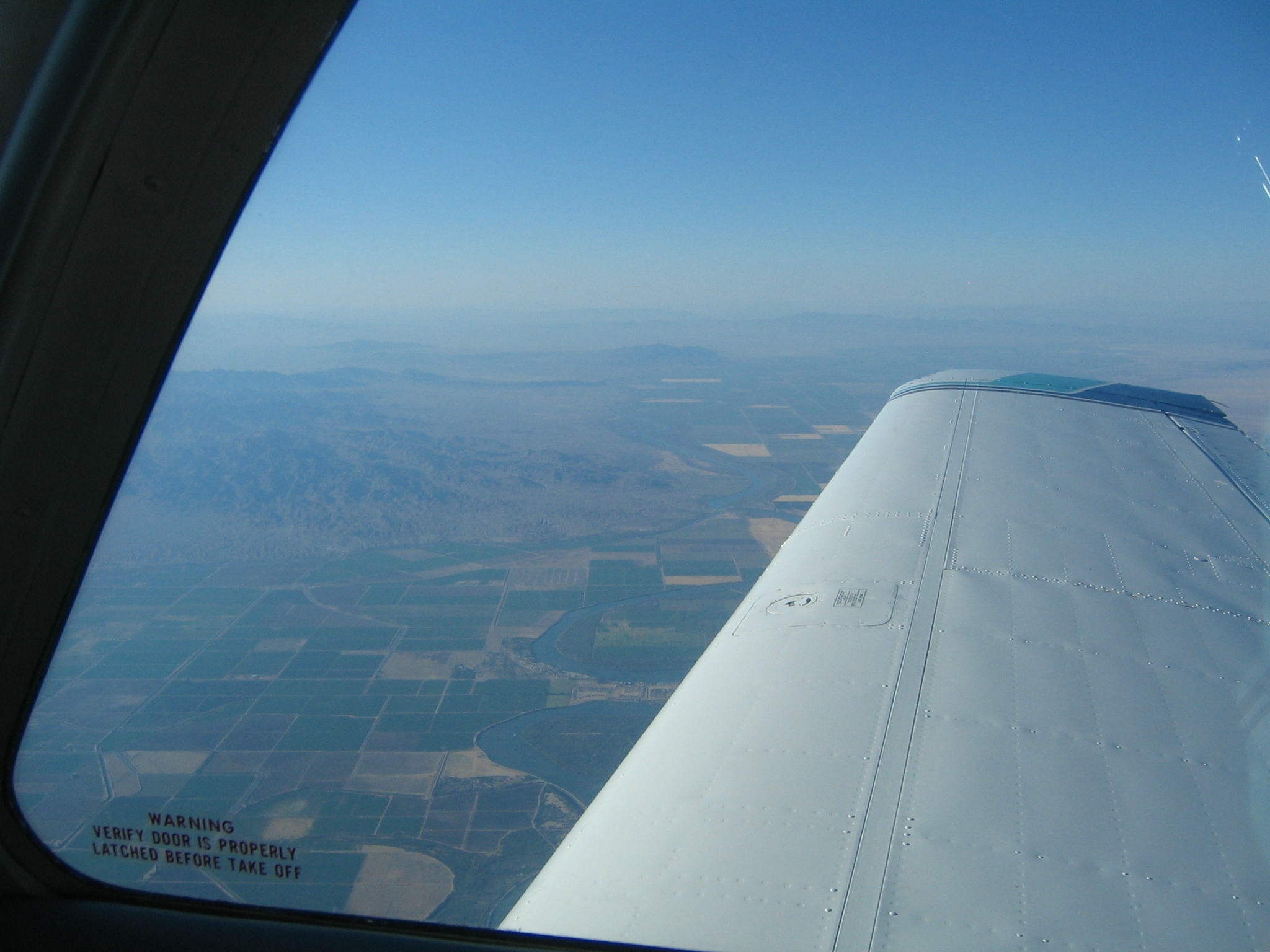
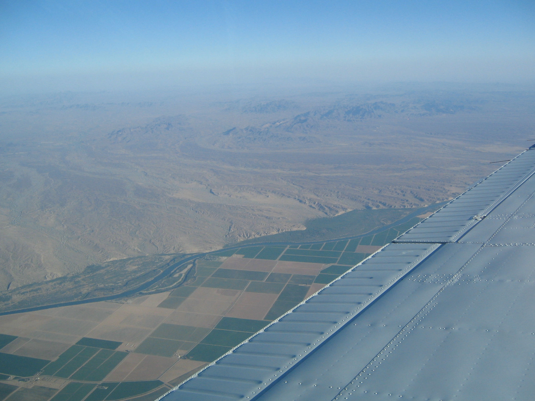
The Colorado river that marks the Arizona/California border
|
|
|
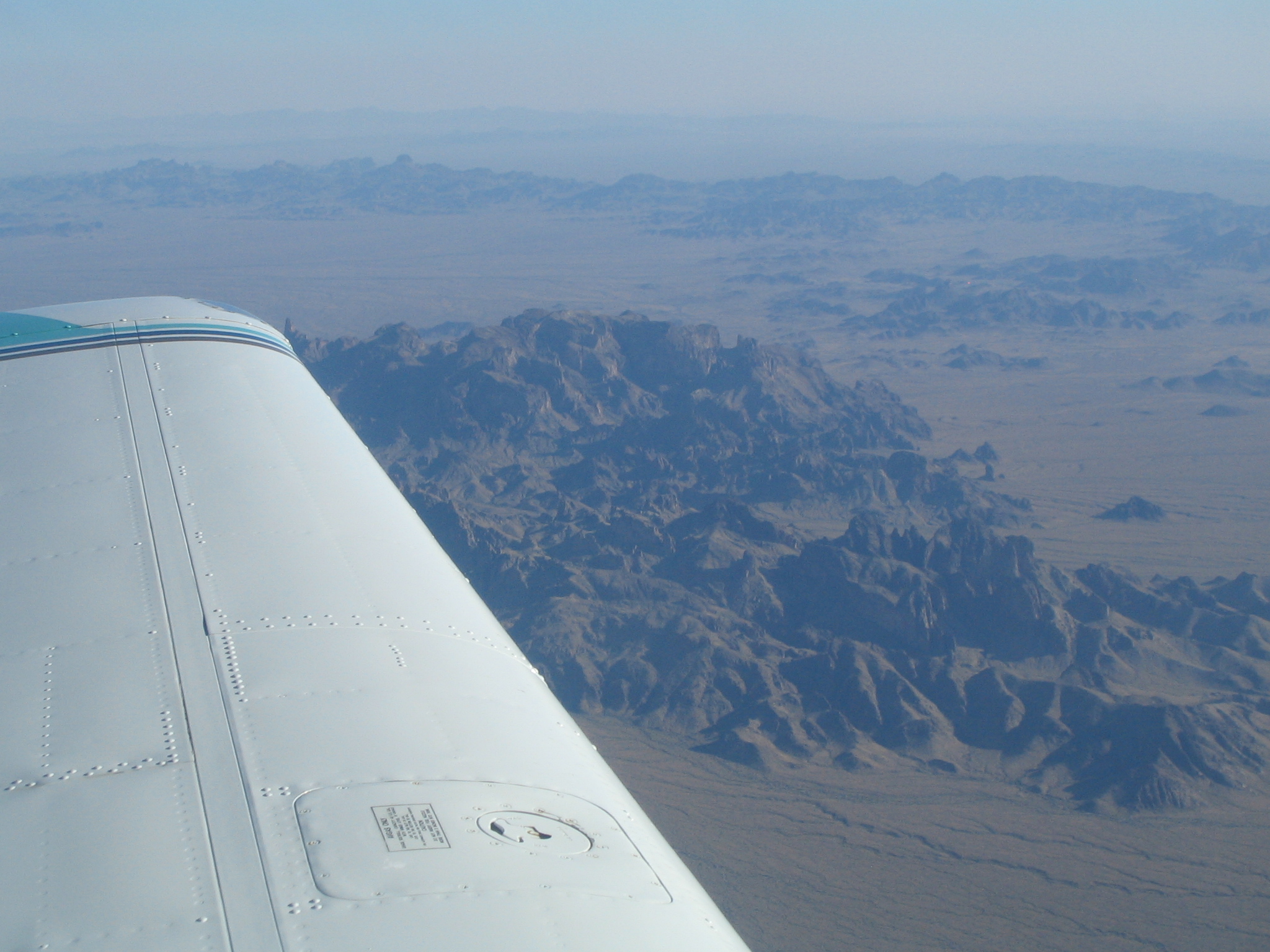
Looking back, California ends abrubtly at the Colorado River, and as soon as you get into Arizona, the terrain changes dramatically
|
|
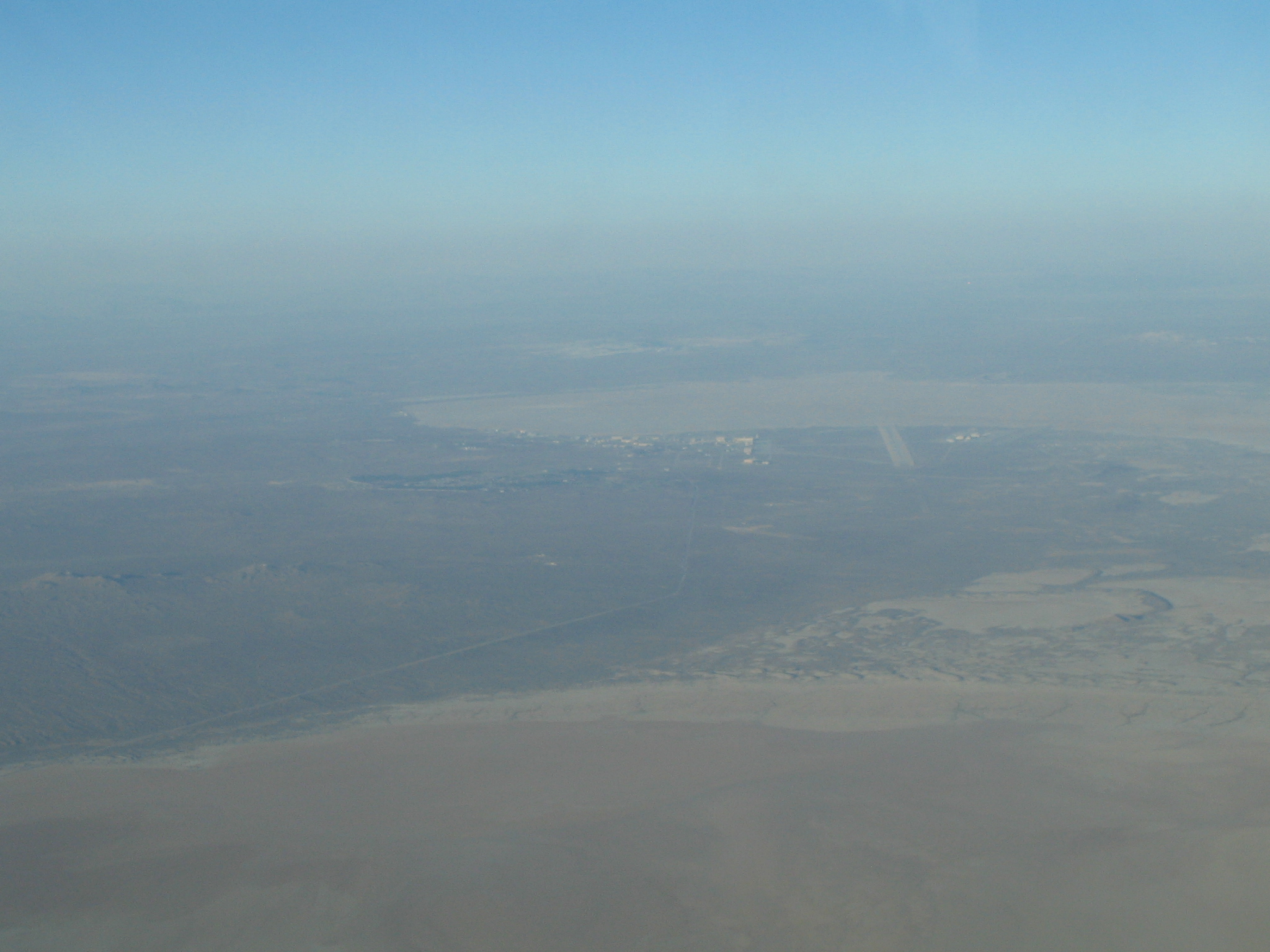
Looking down the five-mile long runway at Edwards Air Force base
|

|
|
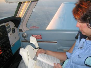
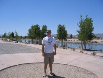
Kristen enjoys her book on the way home, a 3 1/2 hour trip.
|
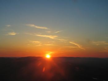
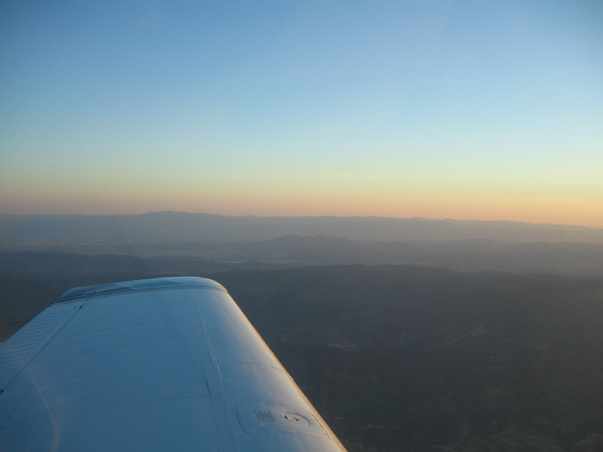
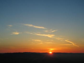
Sunset came just as we were descending into the Bay Area
|
|
|
|
|
|
Camera #3
|

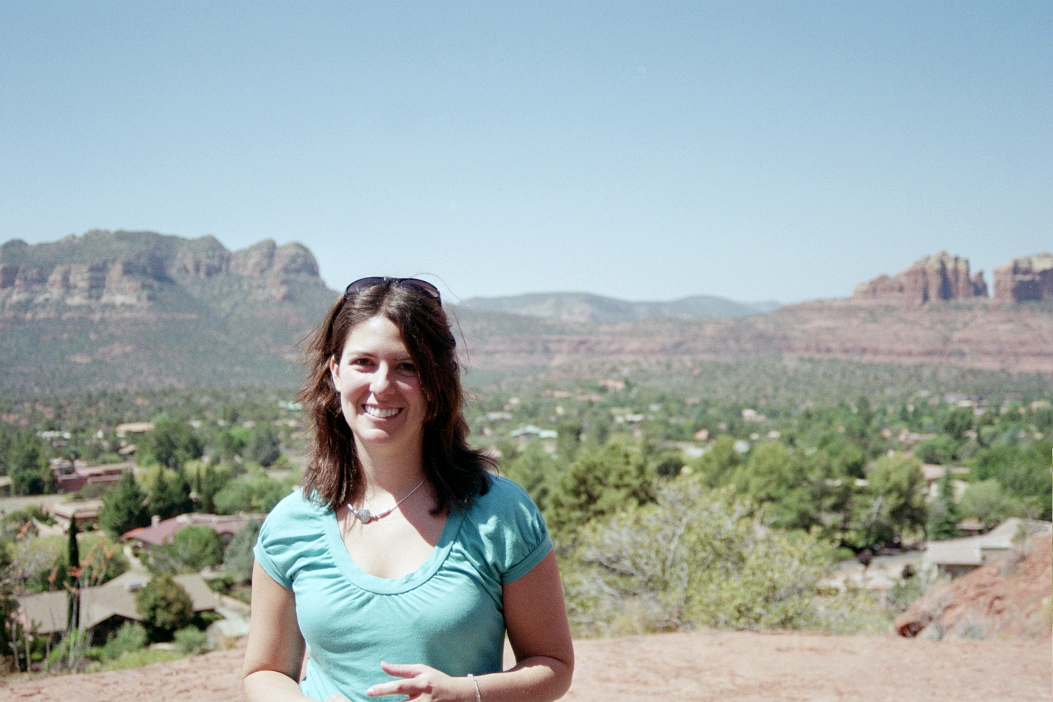
A view from the Chapel
|
|
|

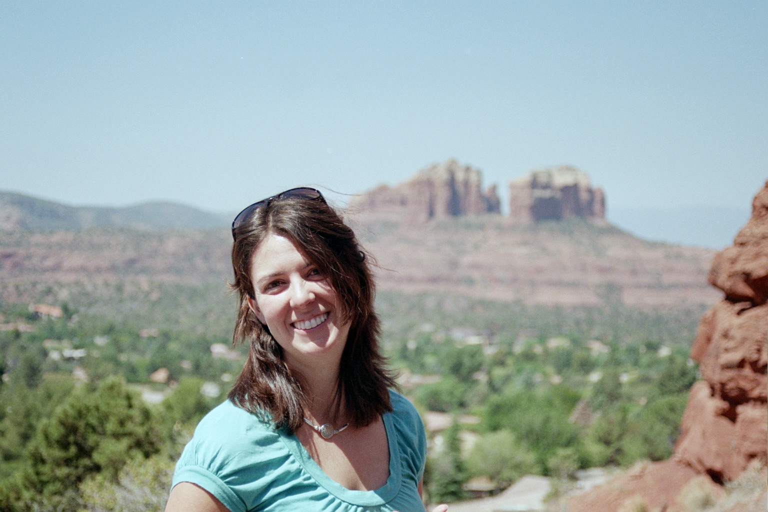
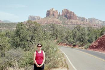
Kristen at the Chapel
|
|
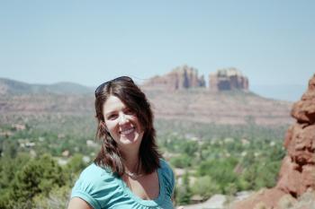
Look at that smile!
|
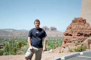
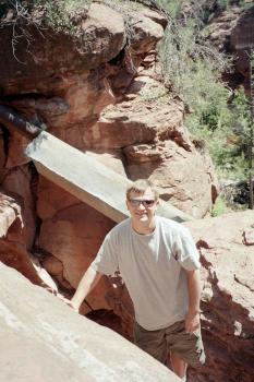
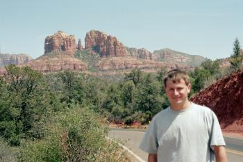
Yours truly
|
|
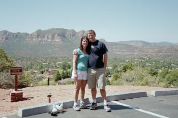
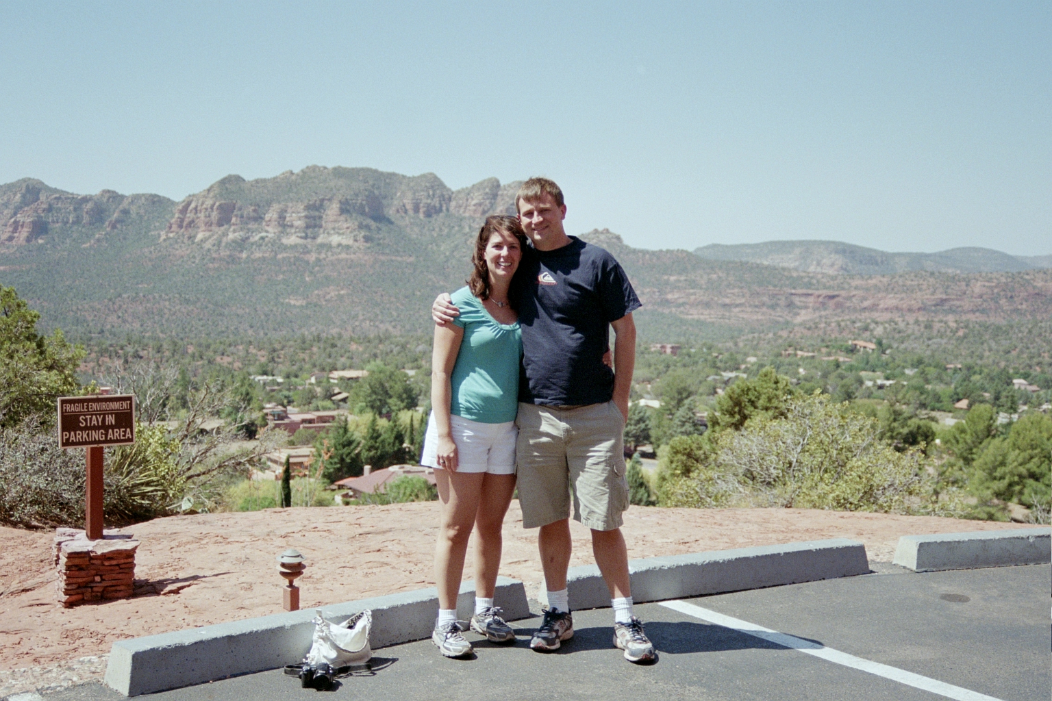
and us both
|

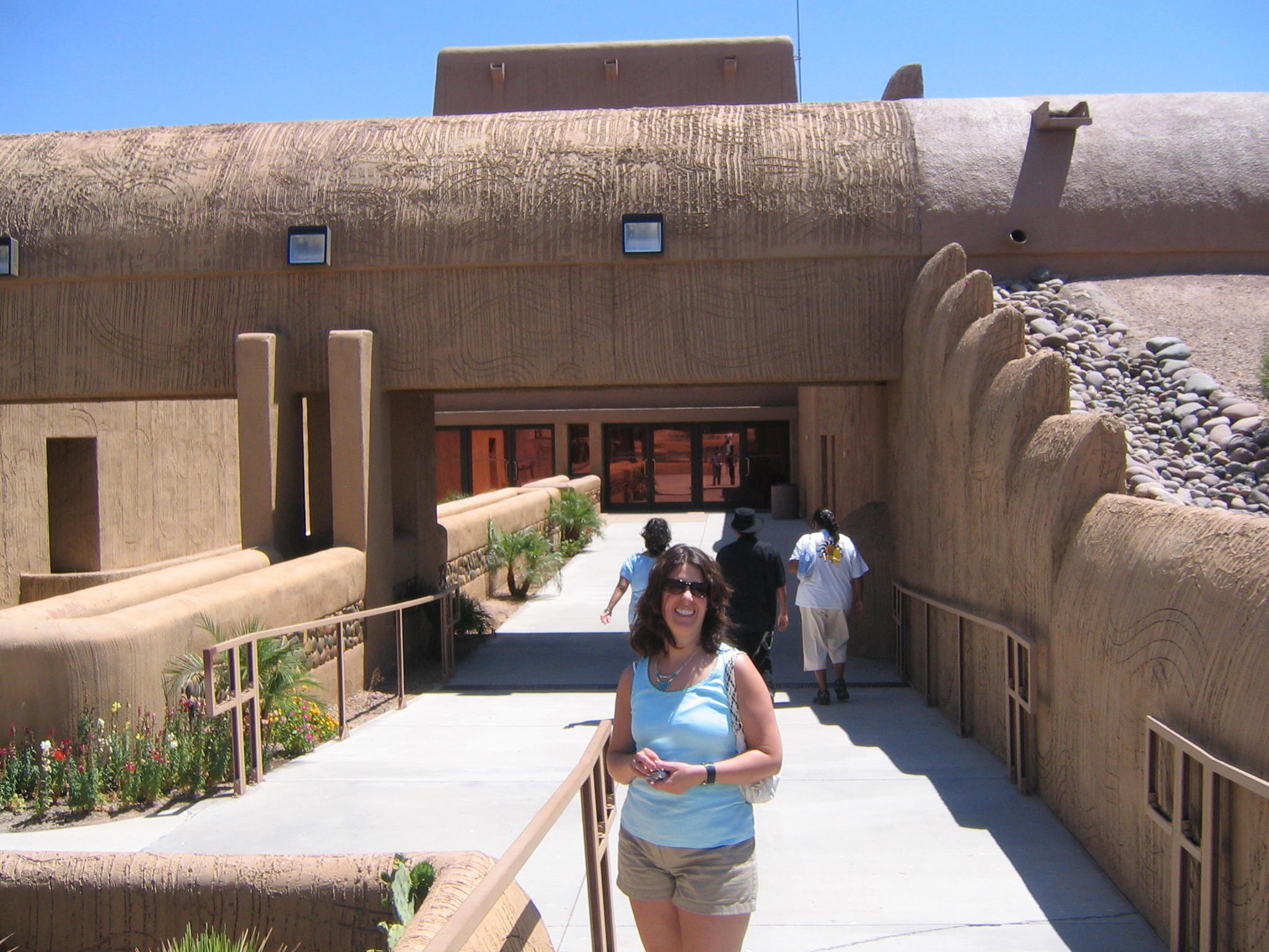
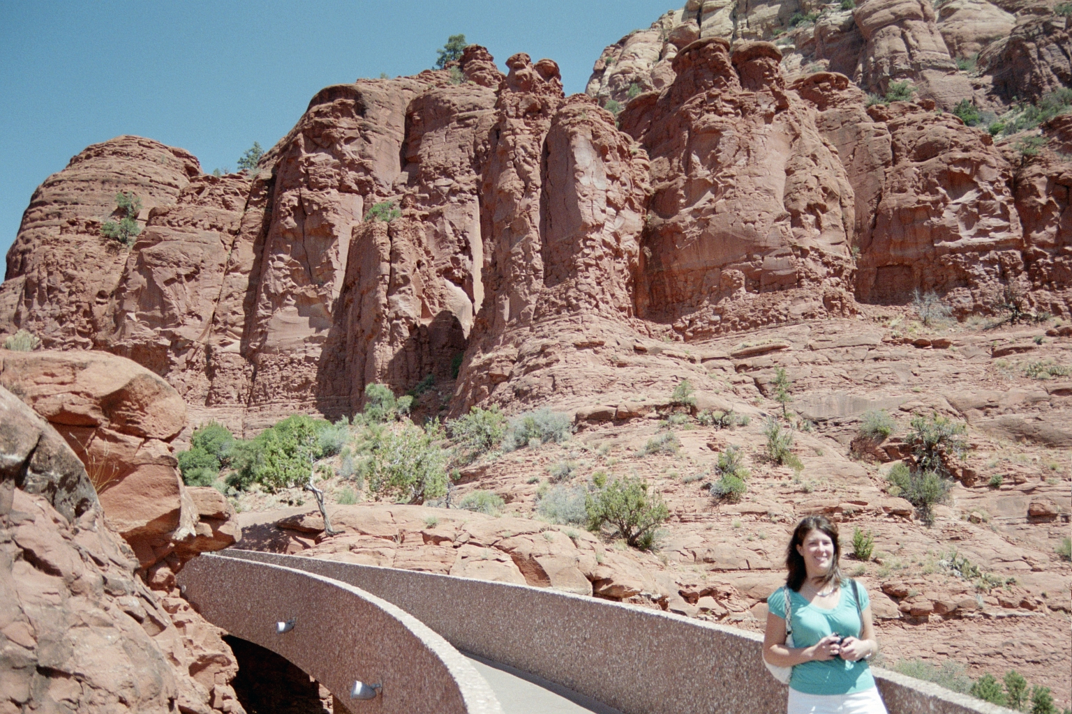
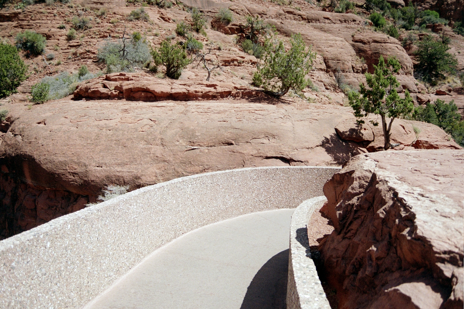
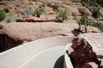
The ramp up to the chapel was kind of like a bridge
|
|

A view of a ridiculous house under construction near the chapel
|
|
|
|
|
|

|
|
|

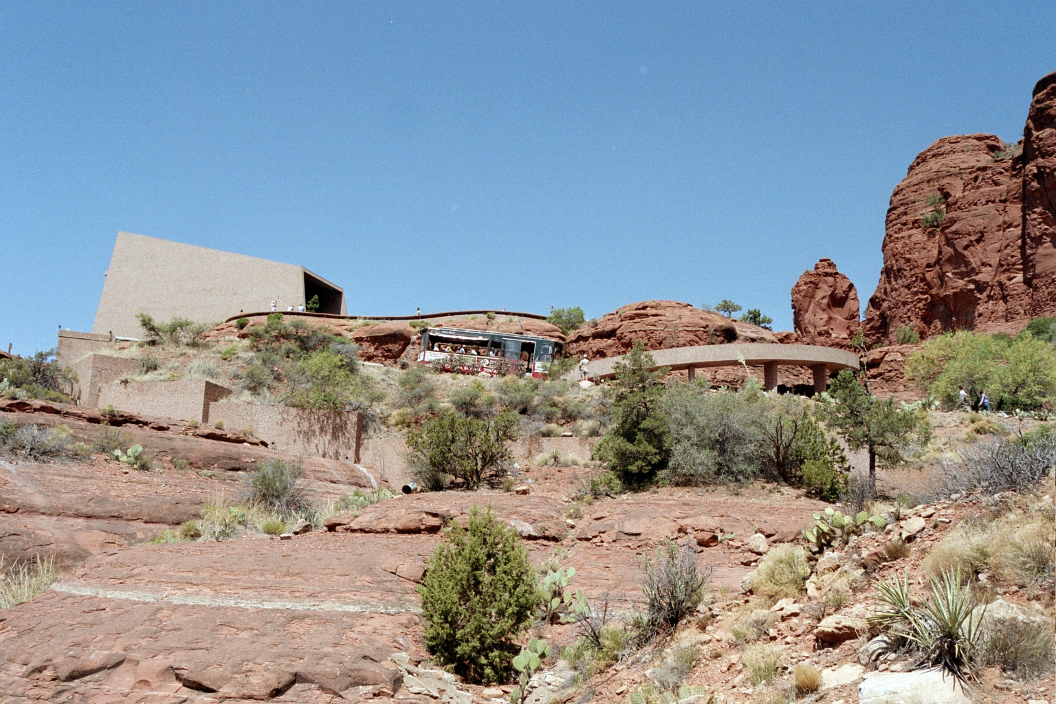
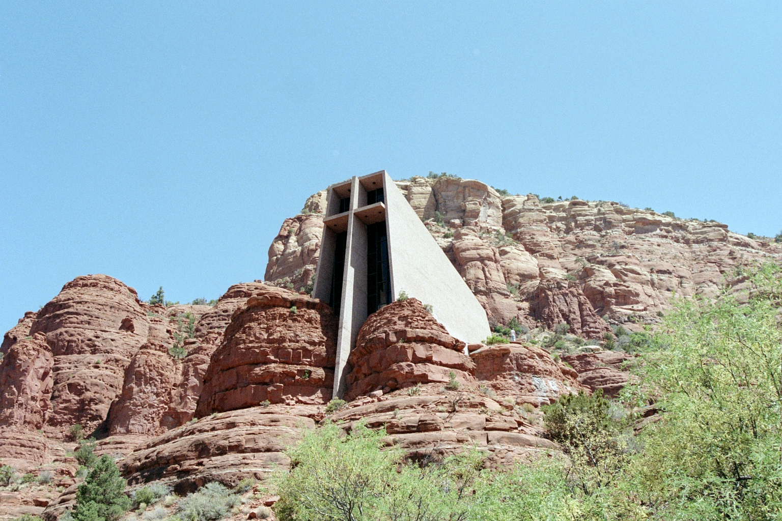
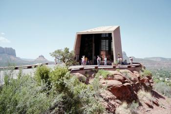
Looking at the chapel from below
|

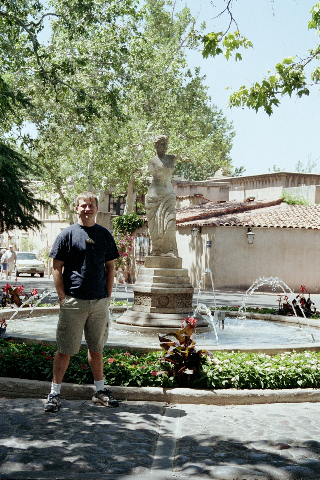
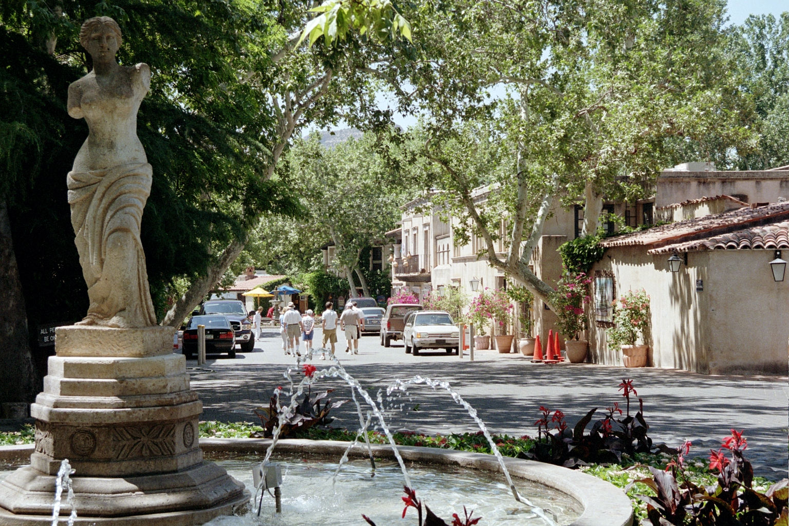
Tlaquepaque, near the center of town. It was shaded and cool in there.
|
|
|
|
|
|
|
|

|
|
|
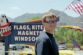
Me in front of one of the many kite stores.
|
During the short hike to slide rock
|
|
Here I am pondering going down the slide. It's a smooth crevice in the rock formed by water that you can slide down. Normally I'd just jump in, but I am pondering it because the snowmelt on my feet coudln't have been even 50 degress F. It was FREEZING.
|
|
|
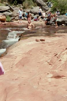
It's now or never!
|
I remember the shock of getting in. I almost couldn't breathe!
|
|

|
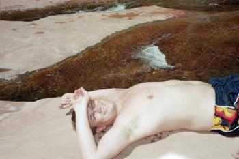
I made it - time to thaw out in the sun
|
|
Some pics we took while driving around
|
|
|
|
|
|
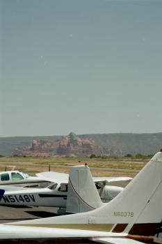
Back at the airport for departure
|

|
|
|
|
|
Here I come after dropping off the rental car keys
|
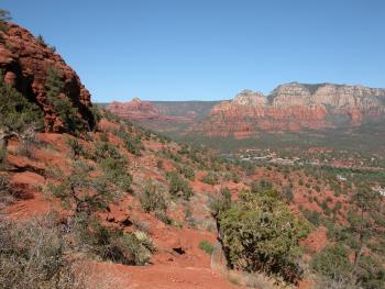
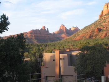
Looking east from Airport Mesa
|
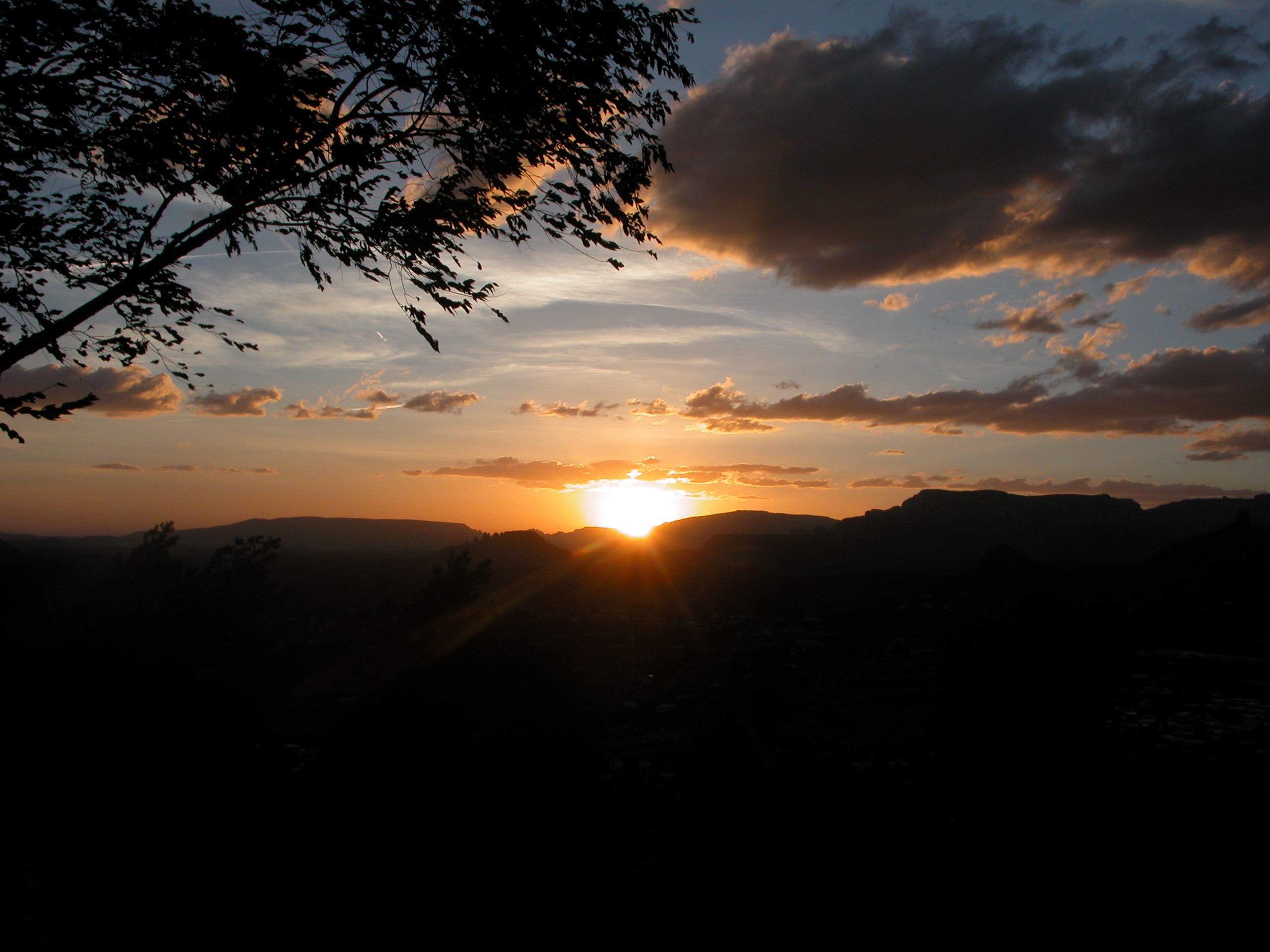
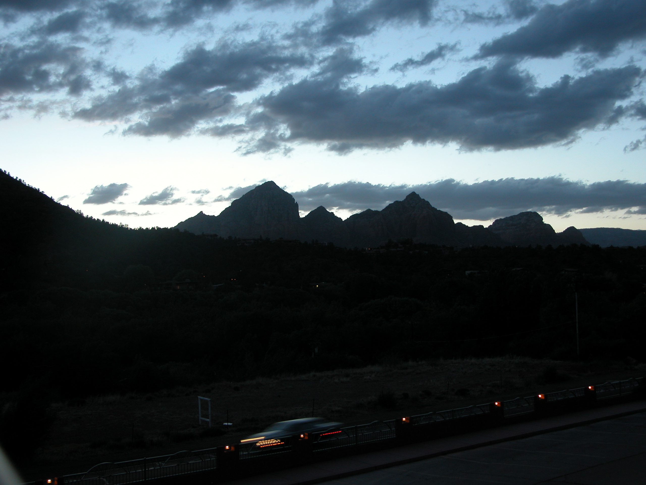
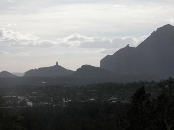
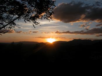
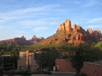
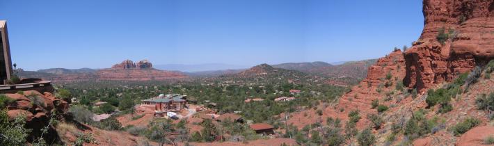
Looking into town during sunset from Airport Mesa
|
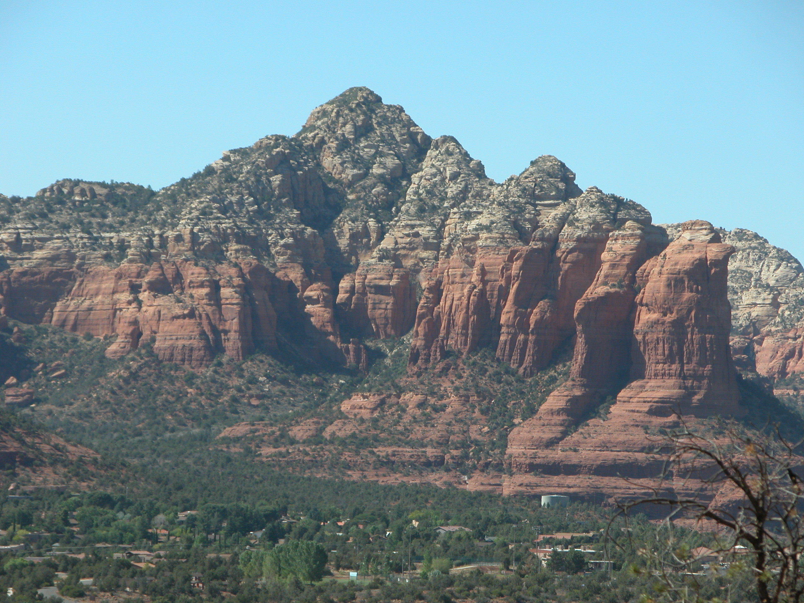
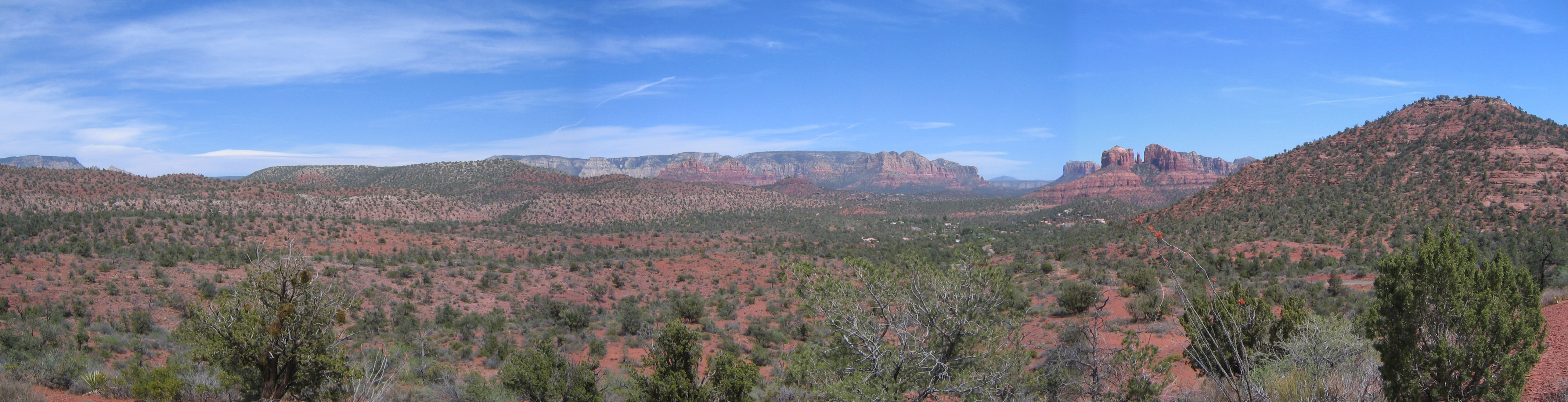
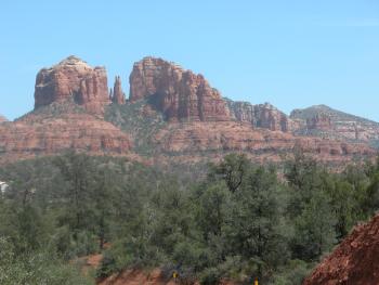
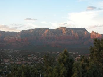
Looking towards Cathedral Rocks during a hike
|
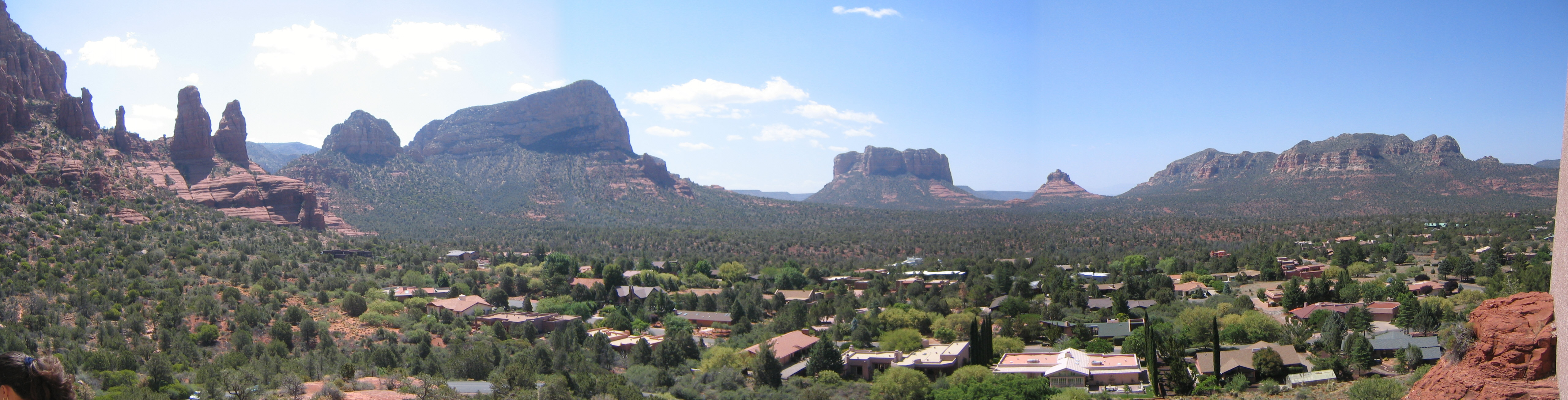
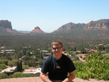
The view from the Chapel of the Holy Cross looking East
|
The view from the Chapel of the Holy Cross looking West
|