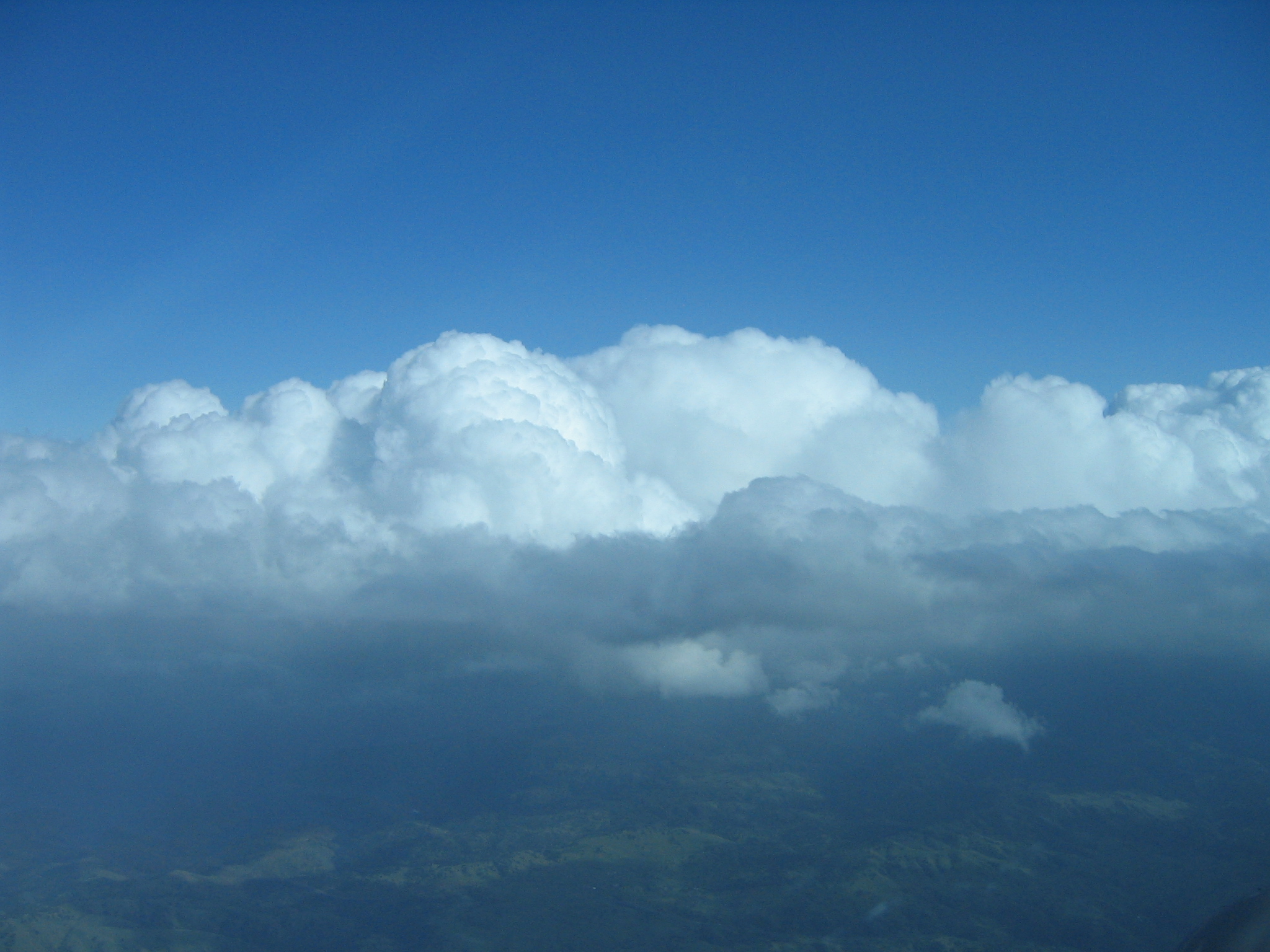
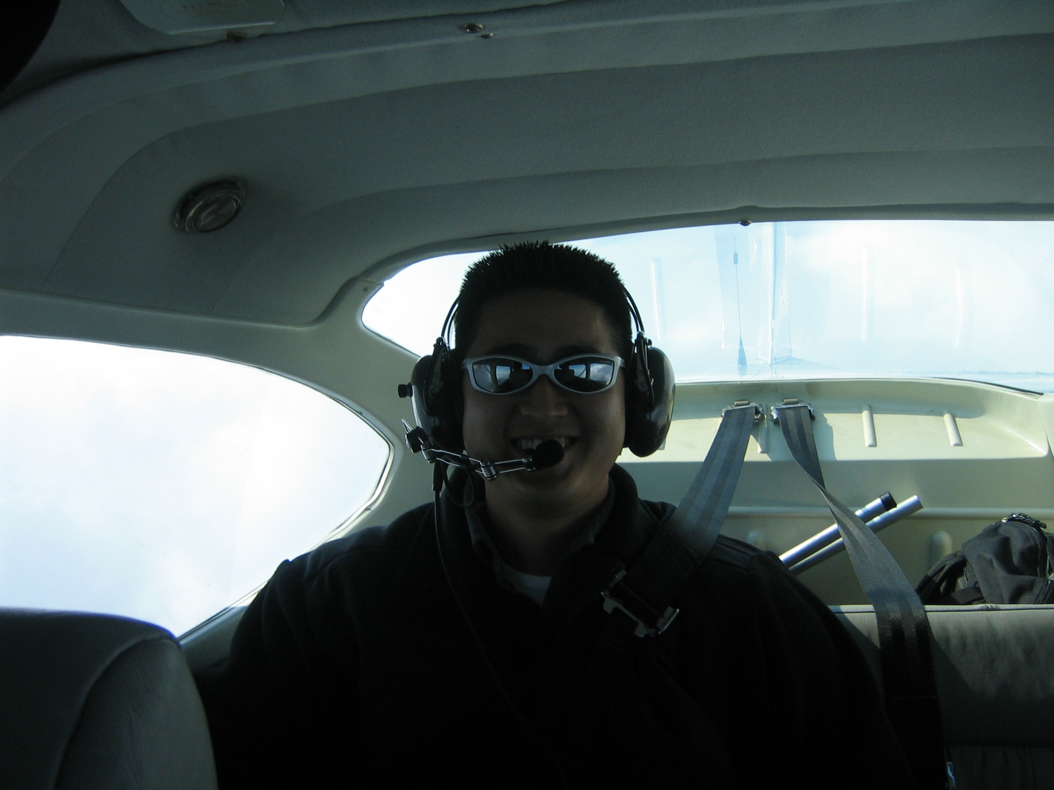
Enroute to Orange County. This was a good IFR flight. |
|
|
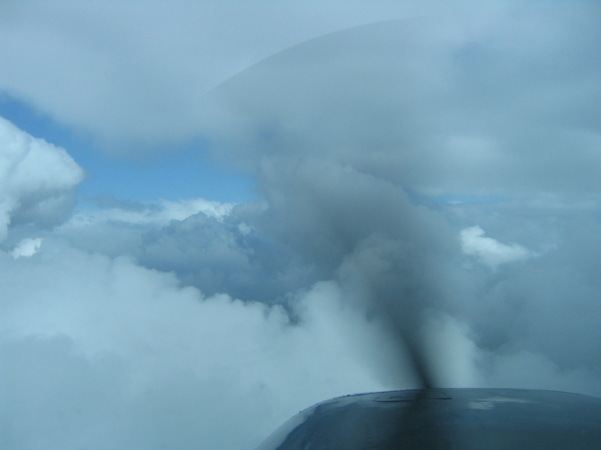
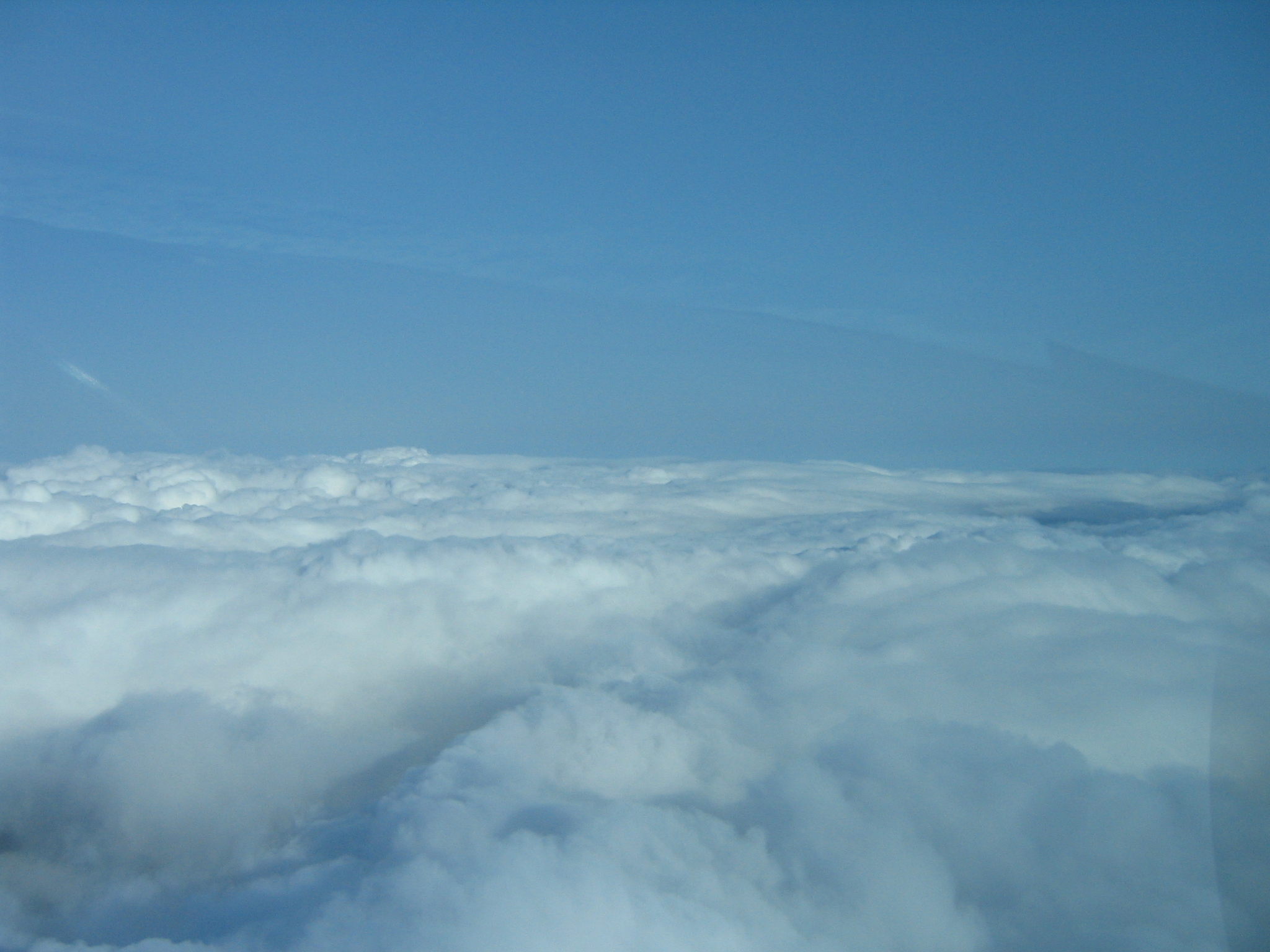
We picked up some light icing while popping in and out of clouds. |
|
|
|
|
|
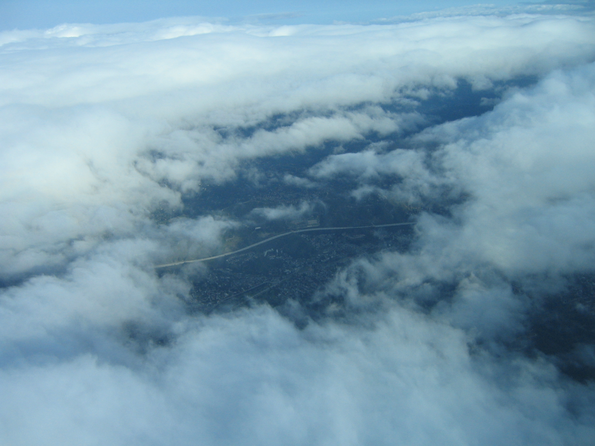
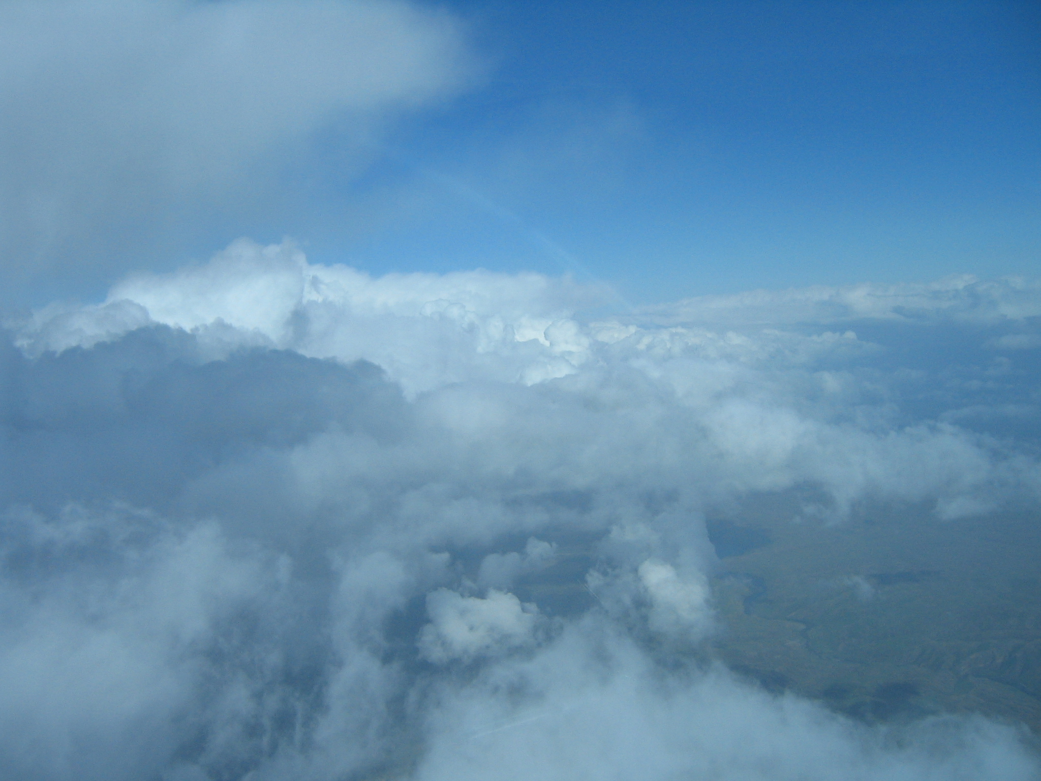
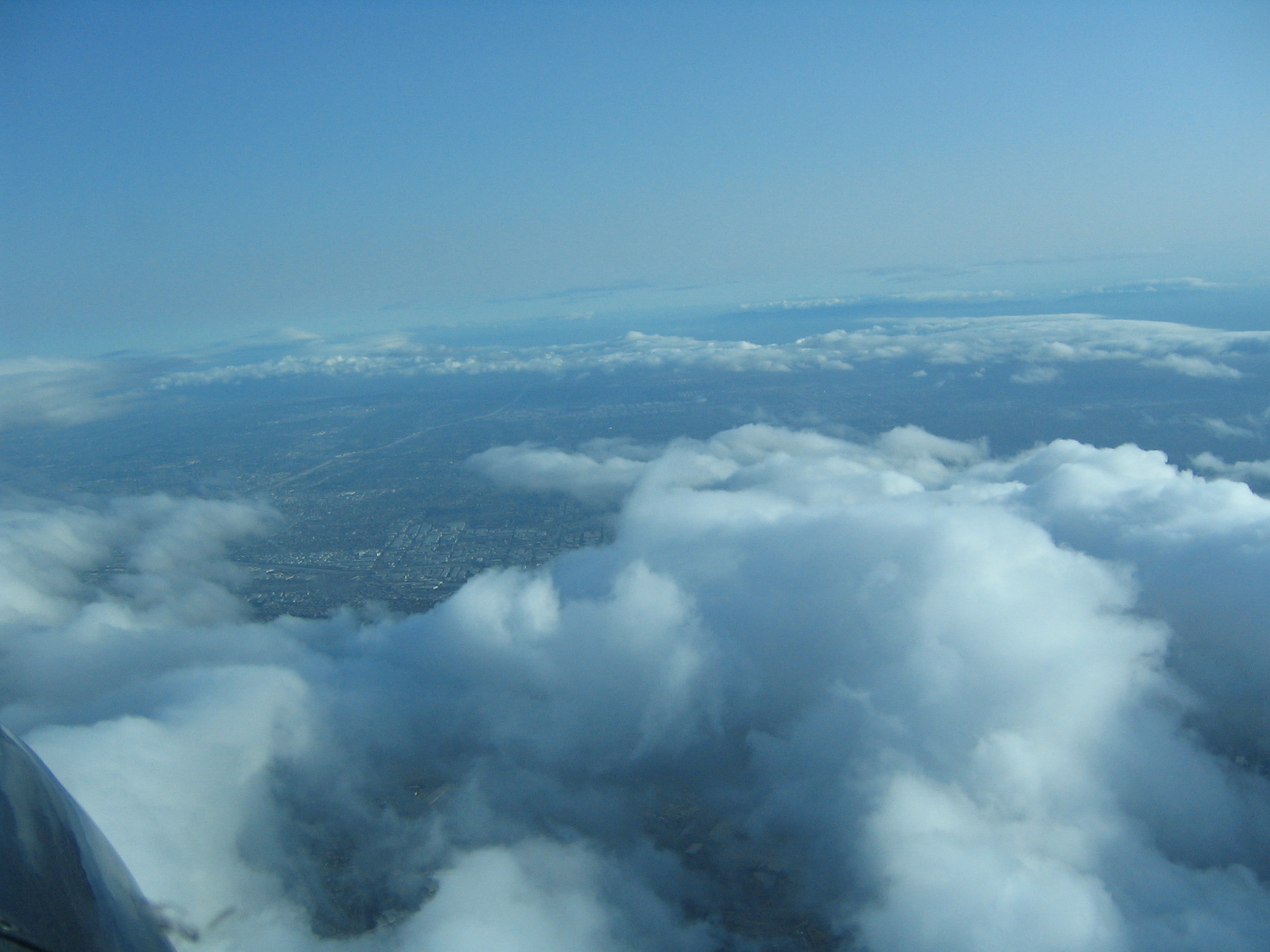
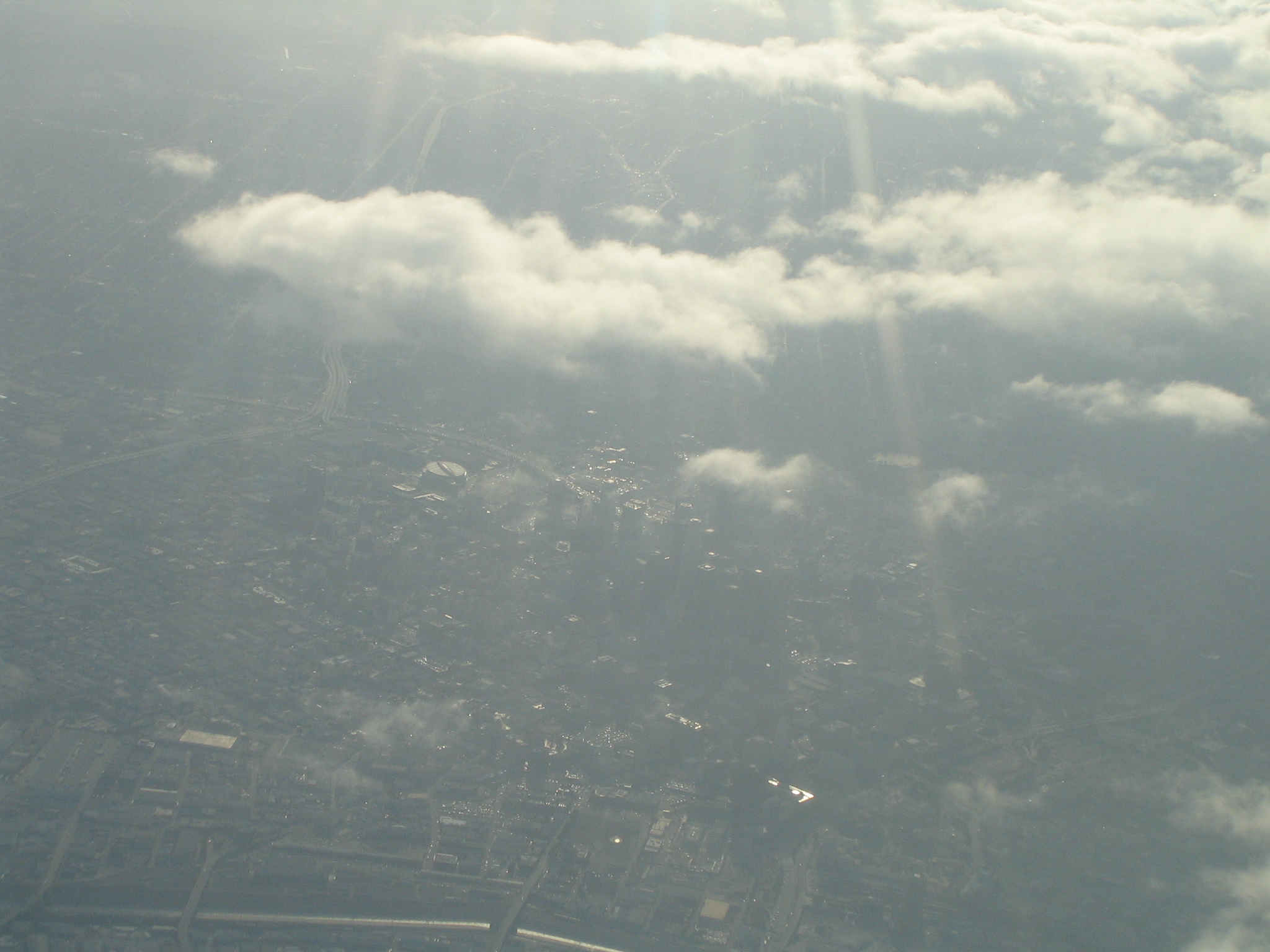
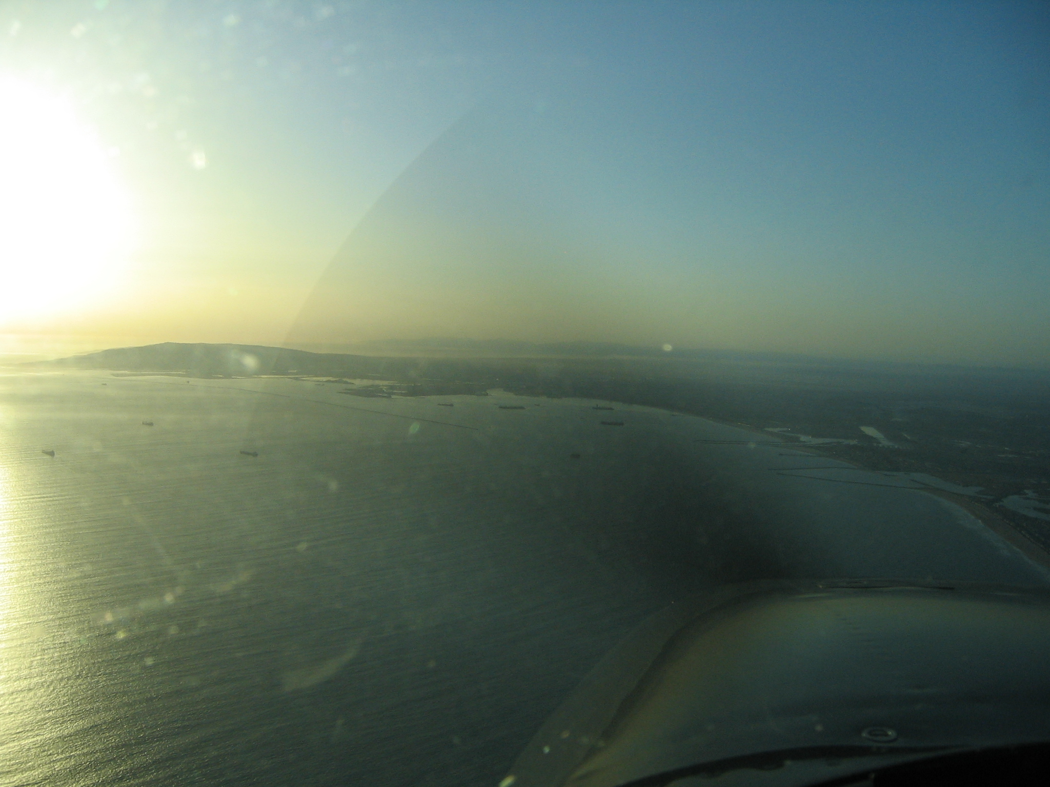
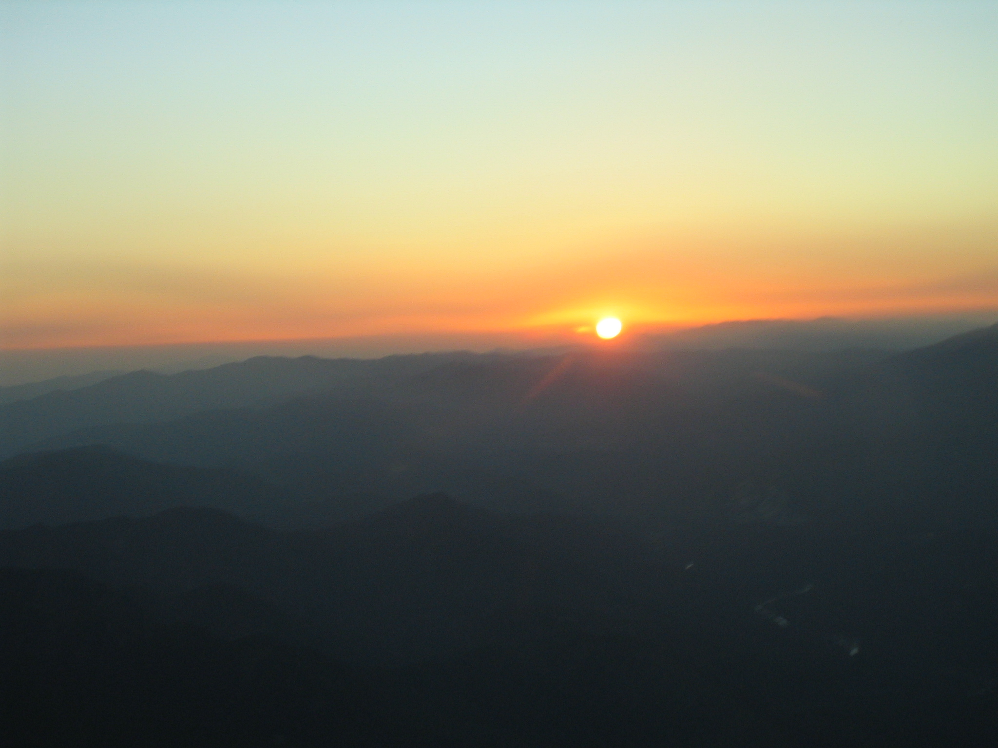
The first look into the LA basin |
|
|

Dodger stadium, looking into the sun through haze from almost 2 miles up |
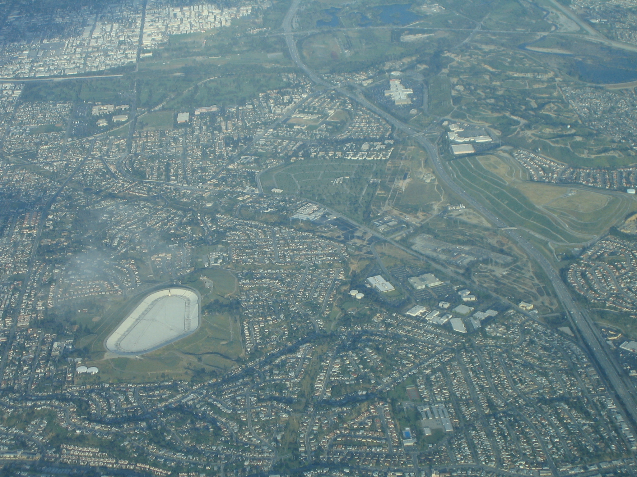
Downtown LA |
|
|
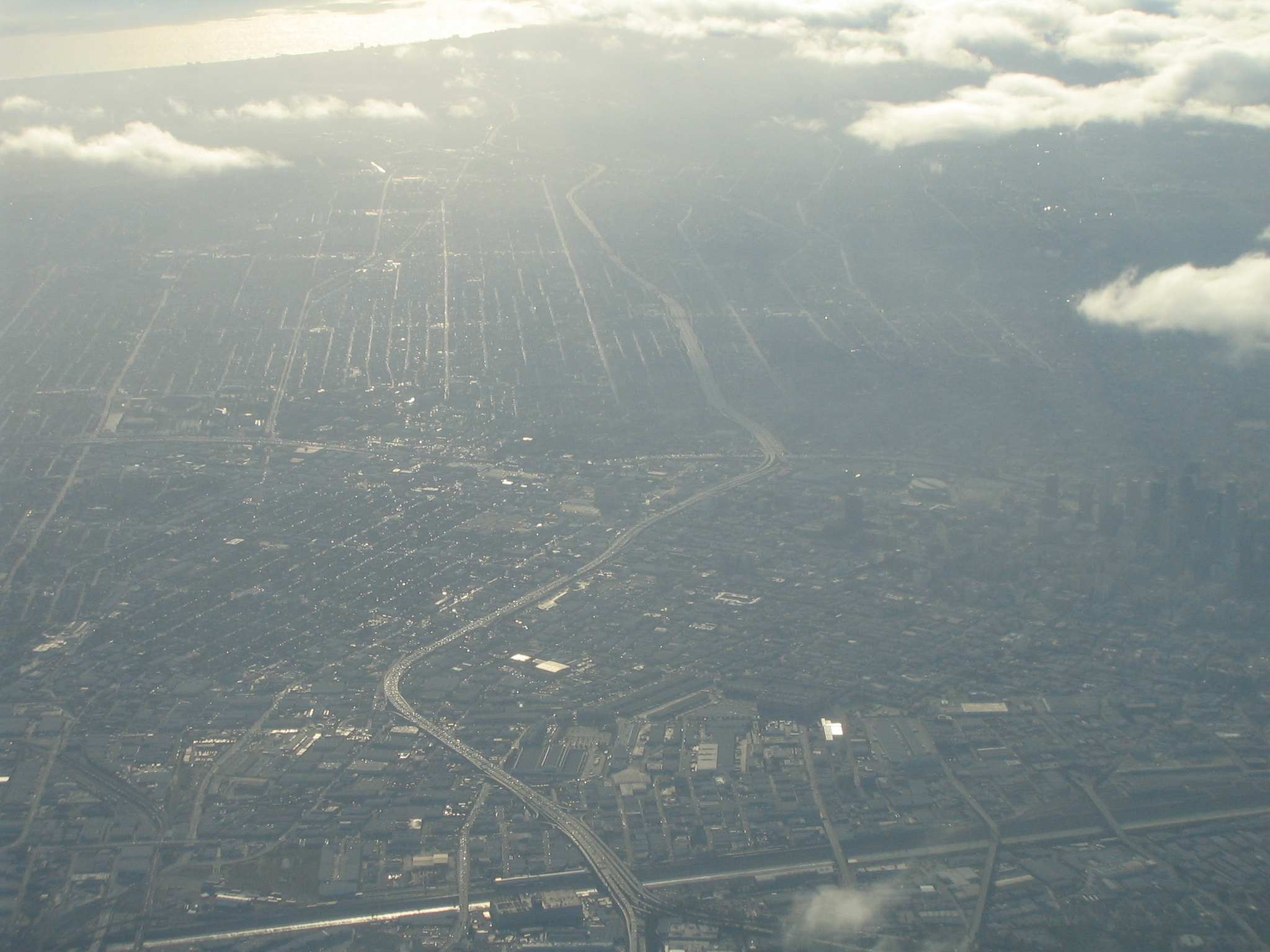
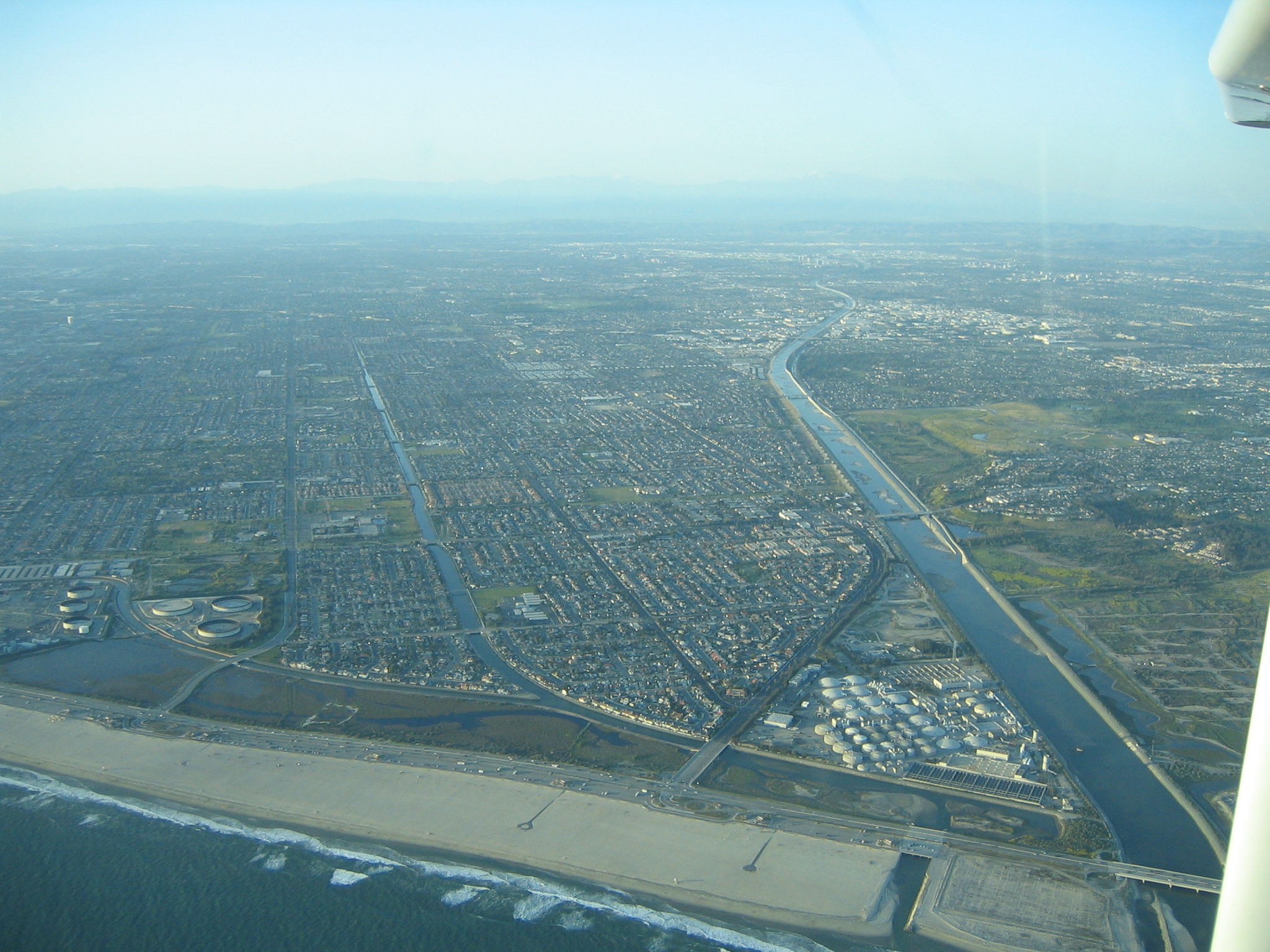
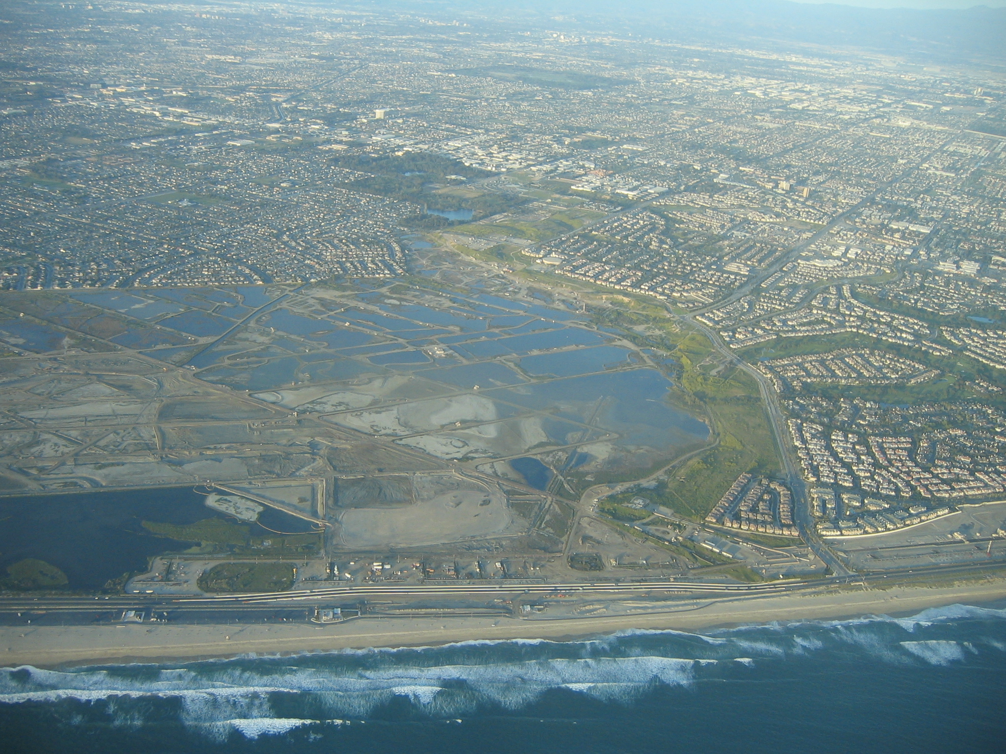
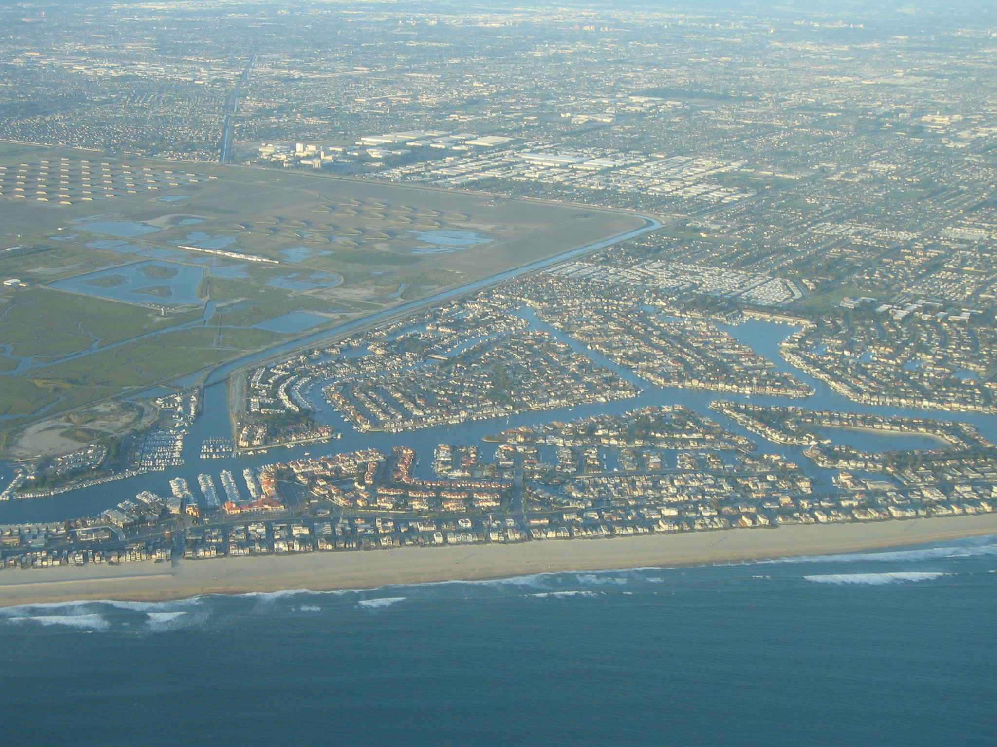
Looking went out towards Long Beach |
|
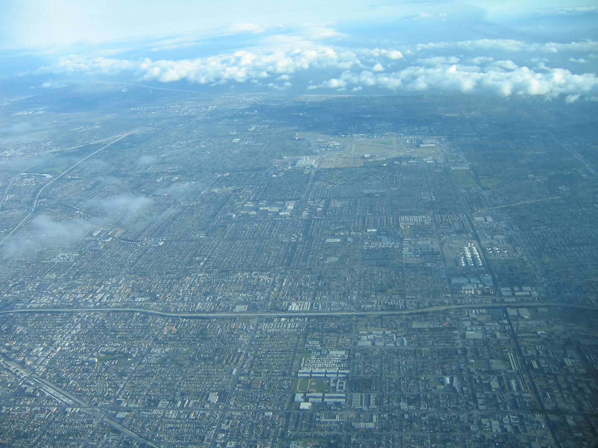
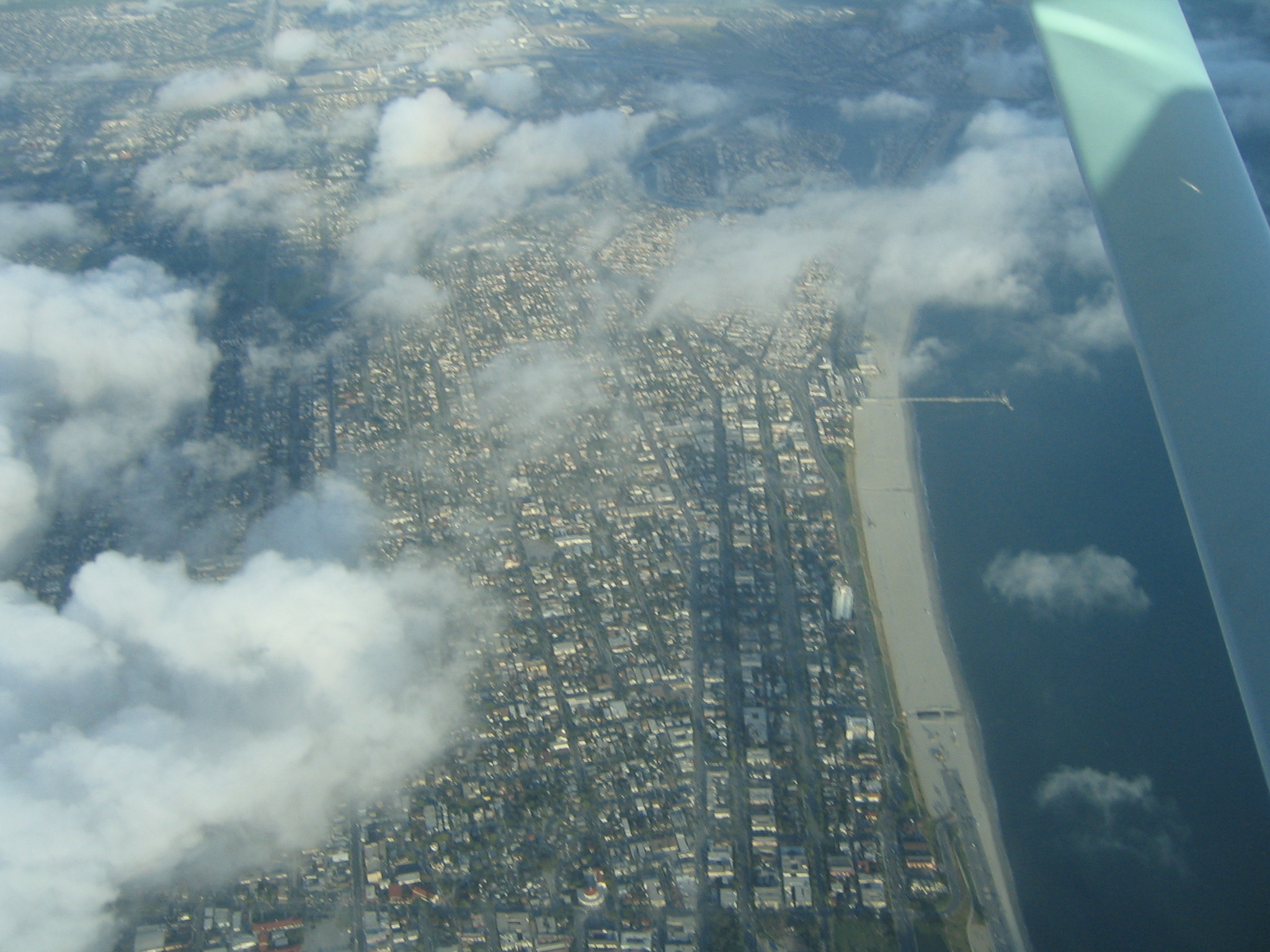
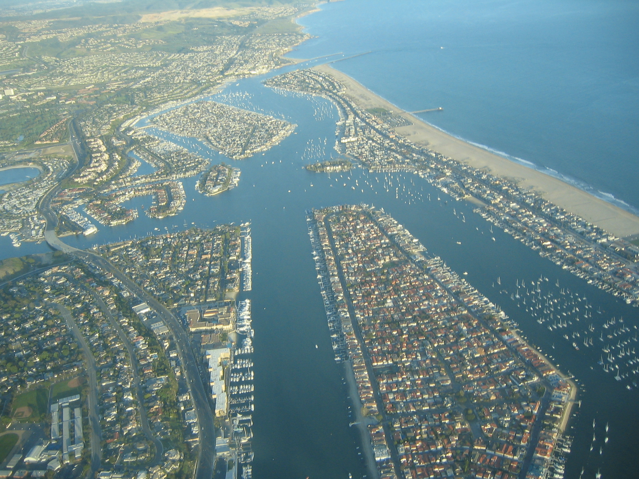
Looking south towards Orange County. Long Beach airport is the big empty area. It was fairly smog-free, at least compared to my memories of LA. |
|
|
|
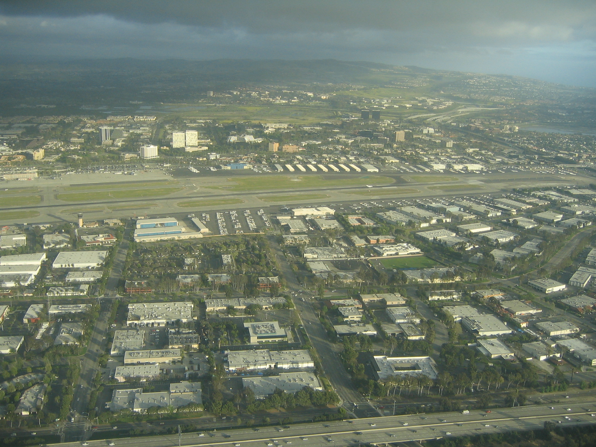
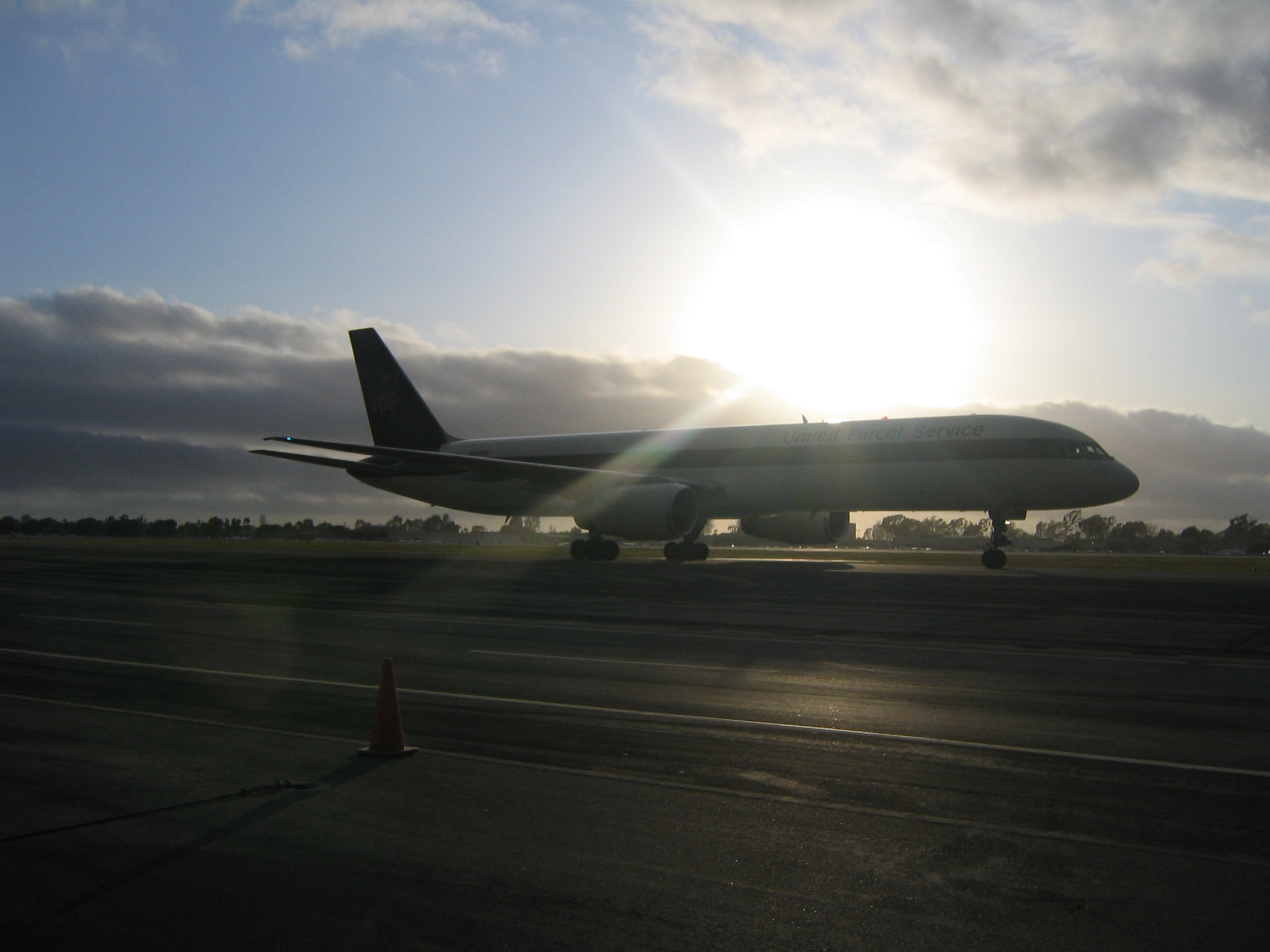
John Wayne airport, our destination. |
|
|
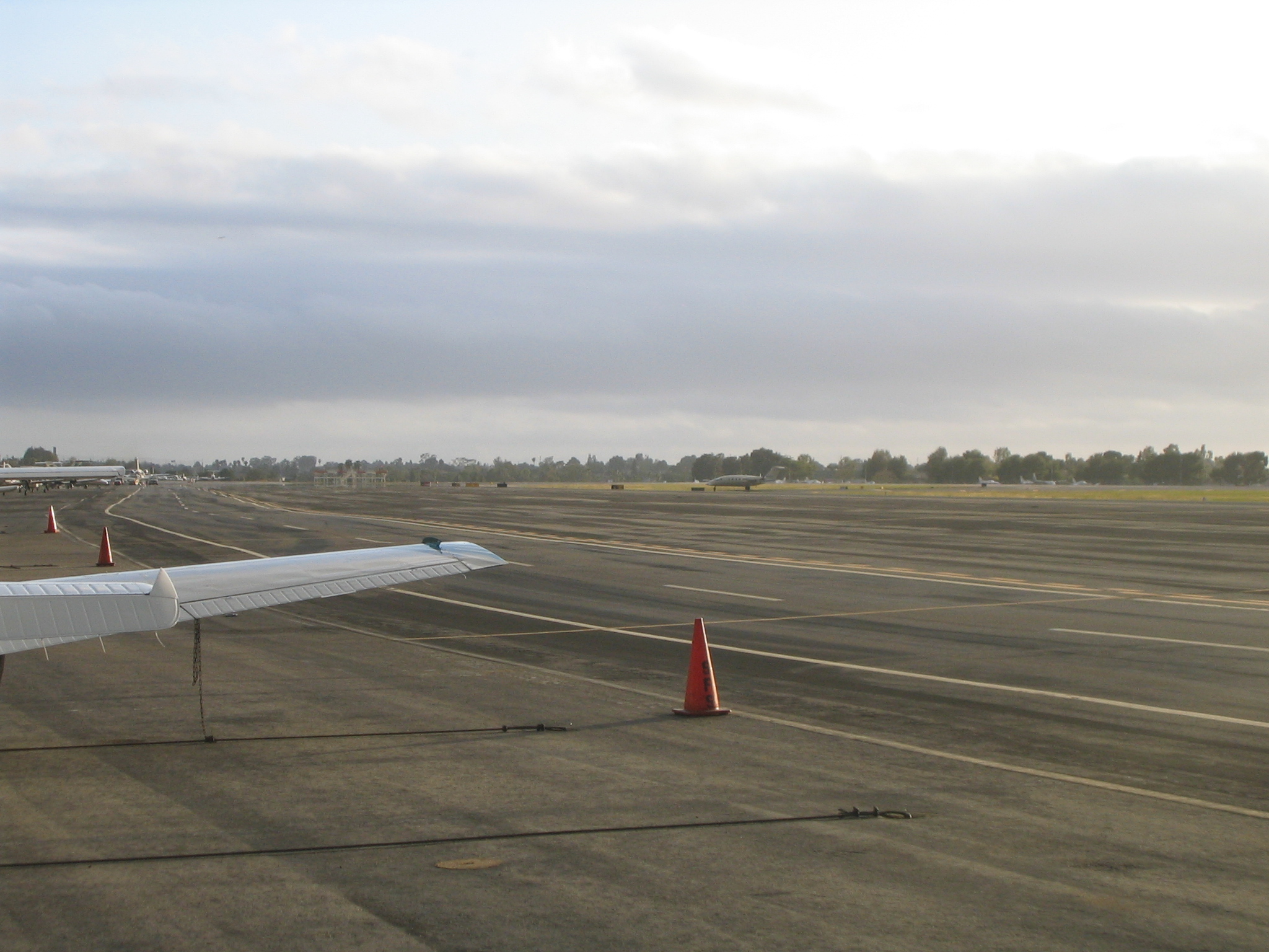
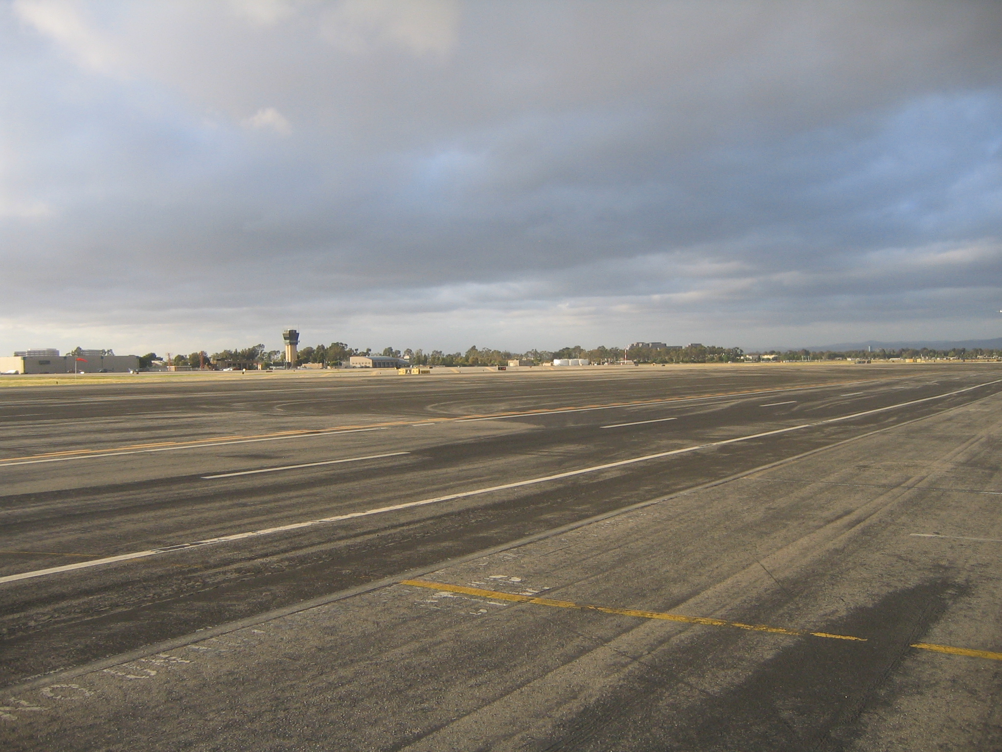
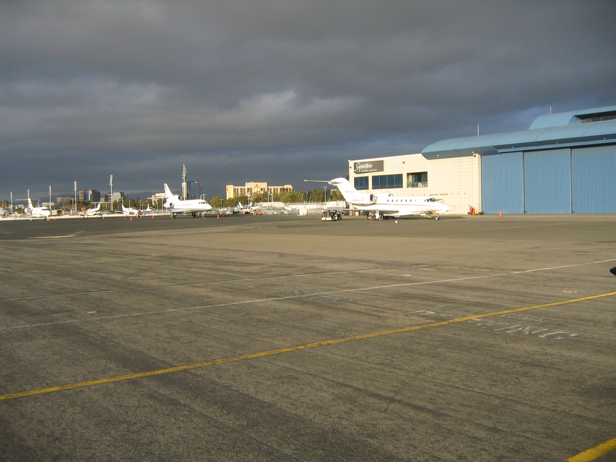
On the ground at John Wayne. |
|
|
|
|
|
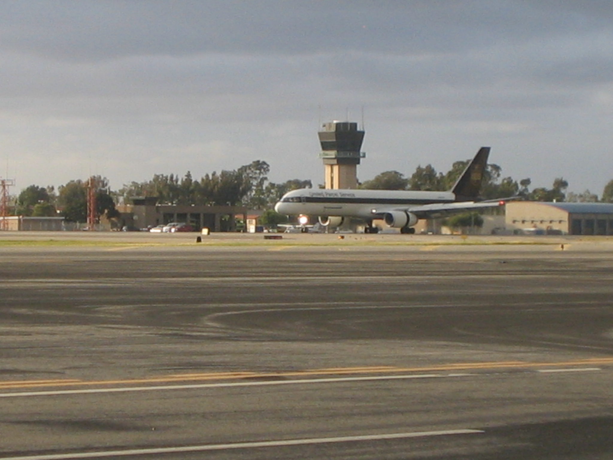
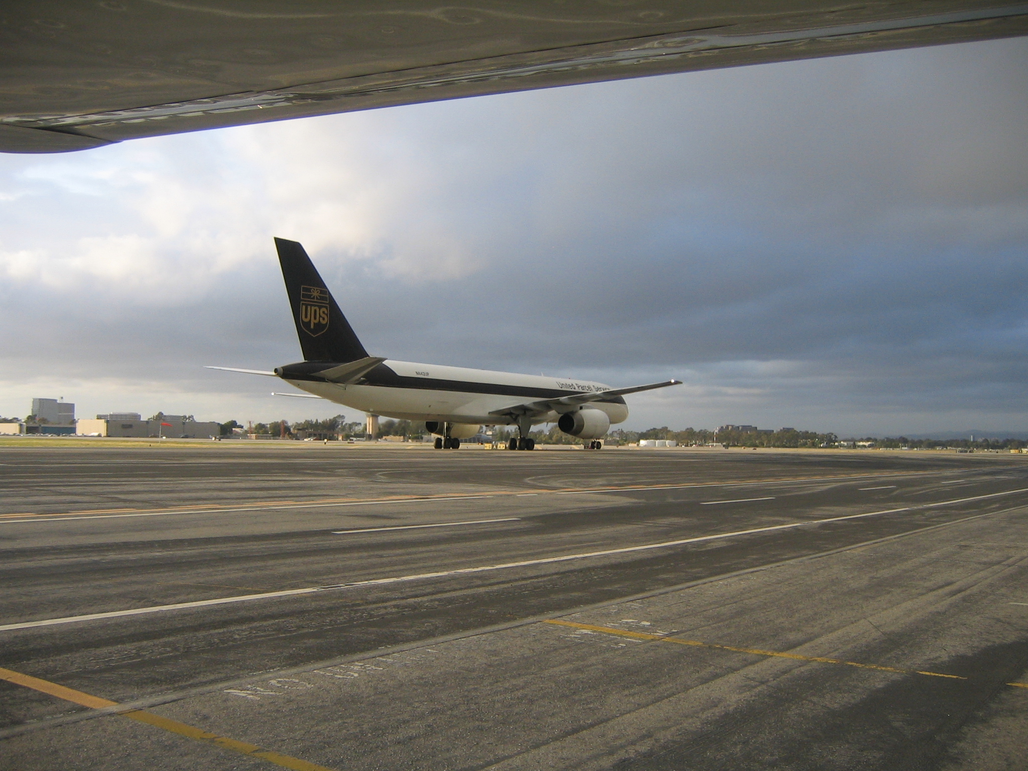
A UPS cargo jet taxis by as we unload |
|
|
|
|
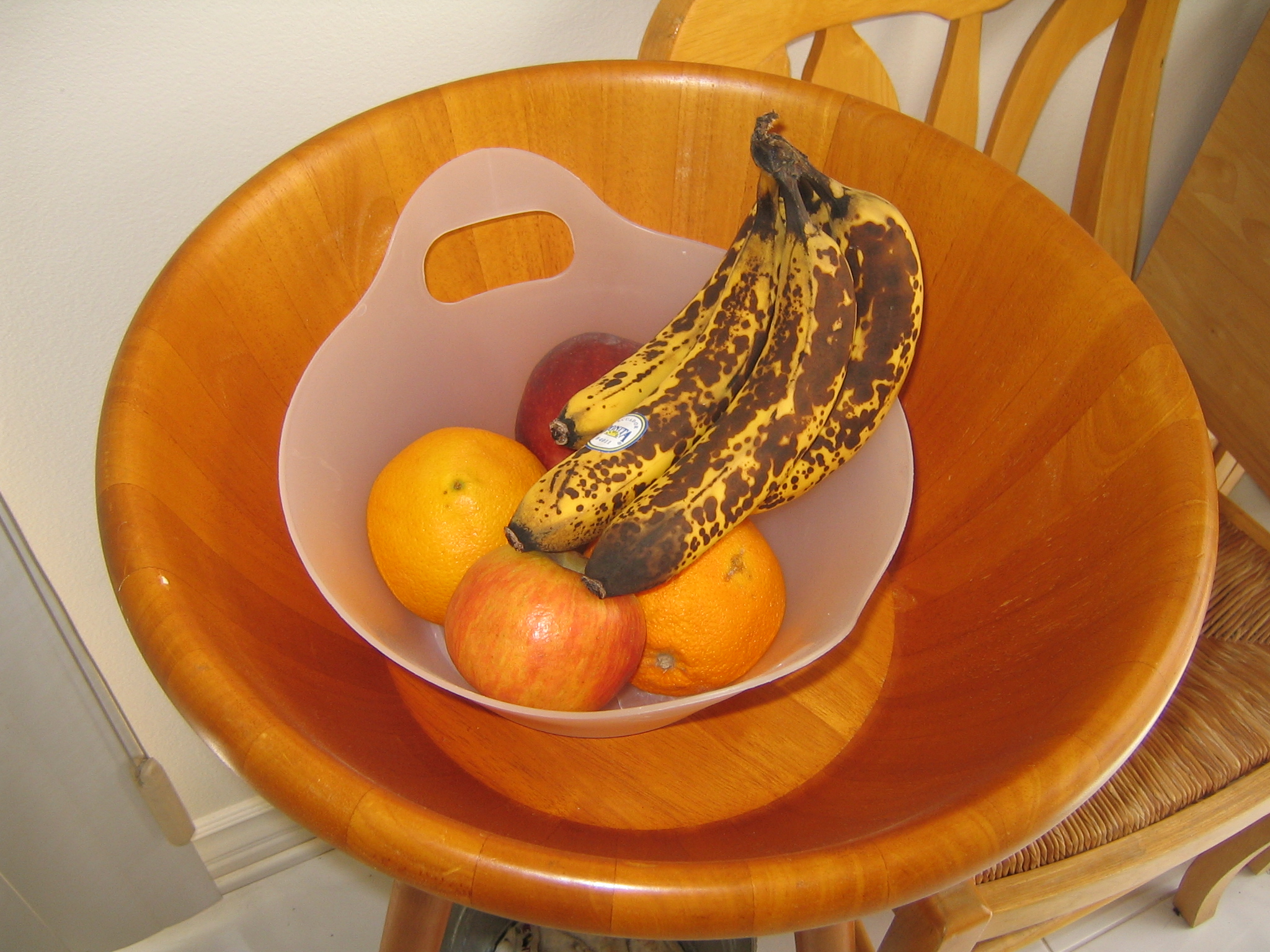
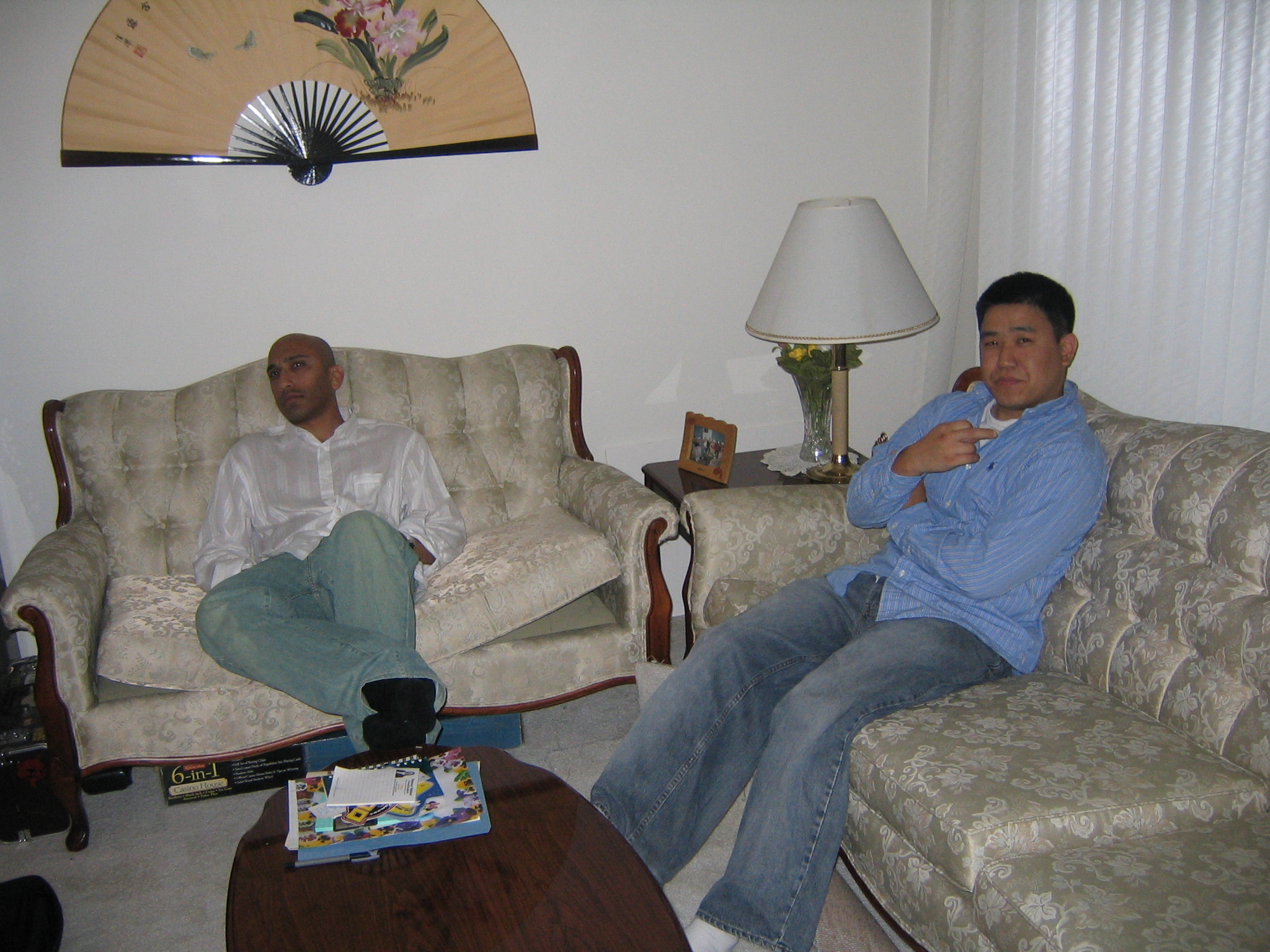
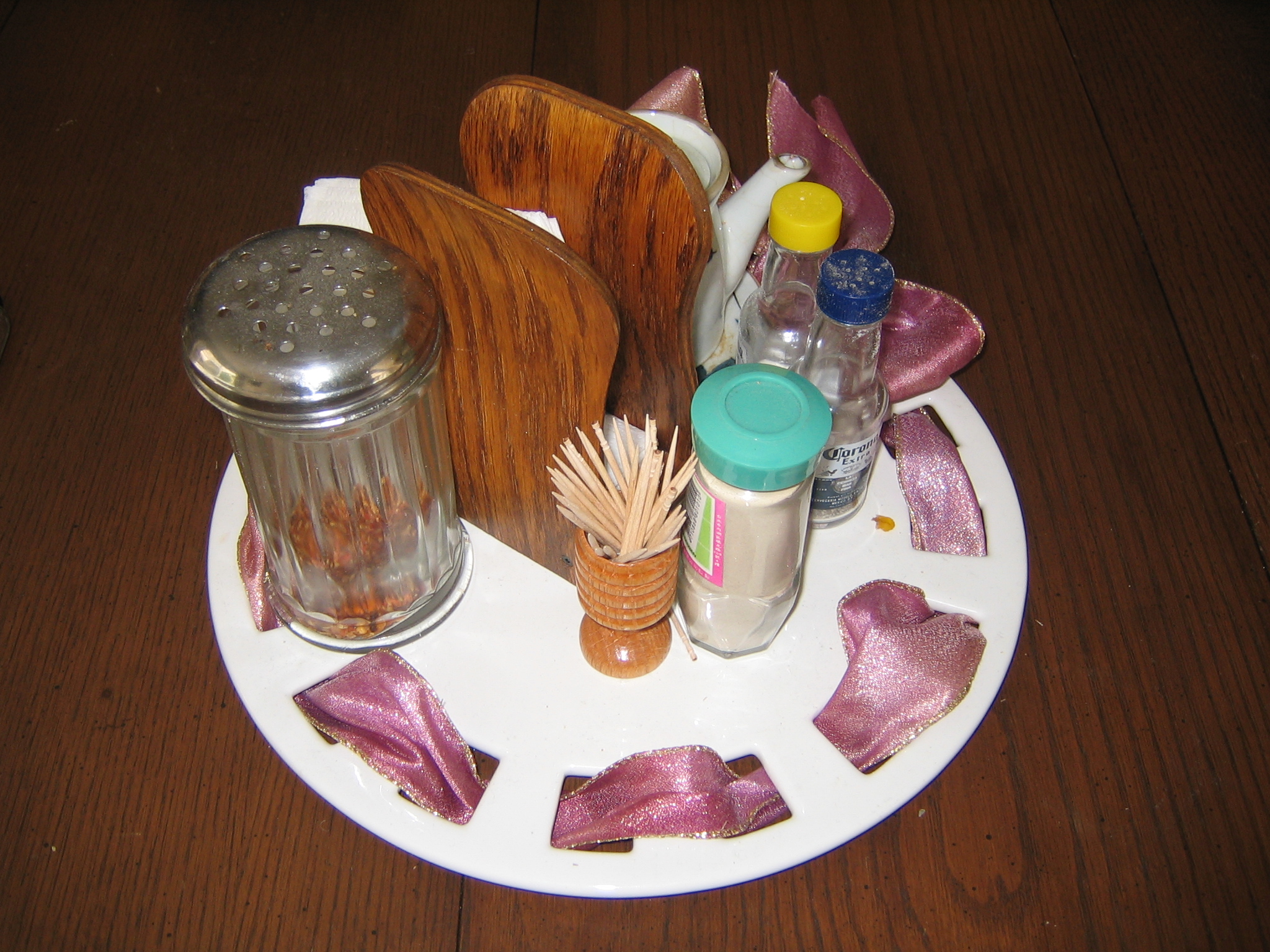
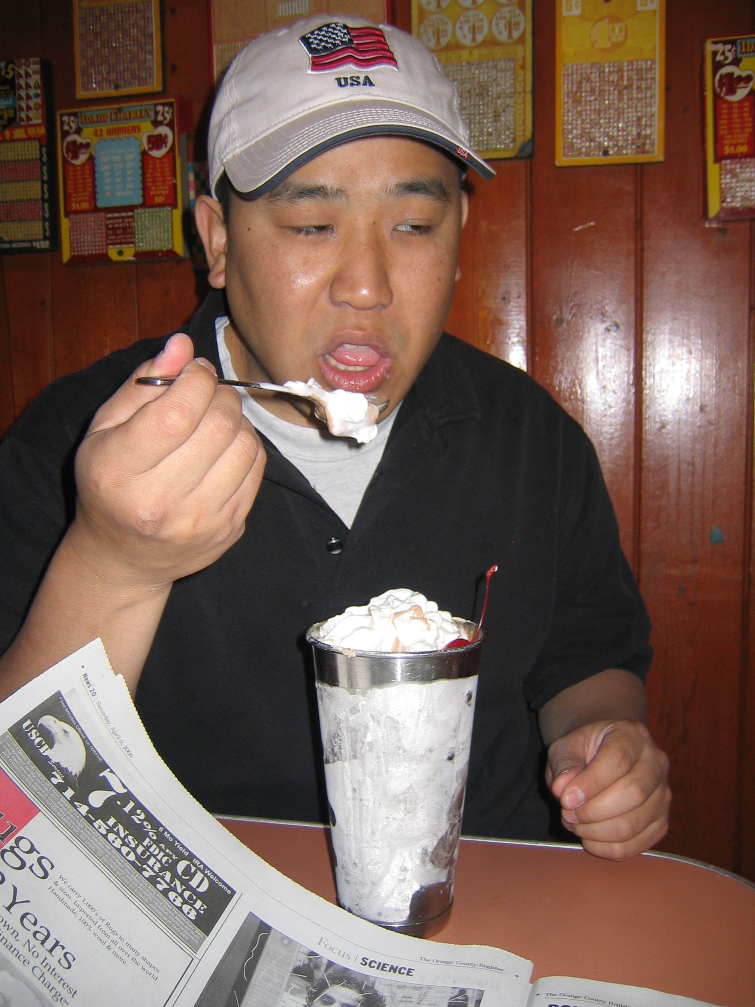
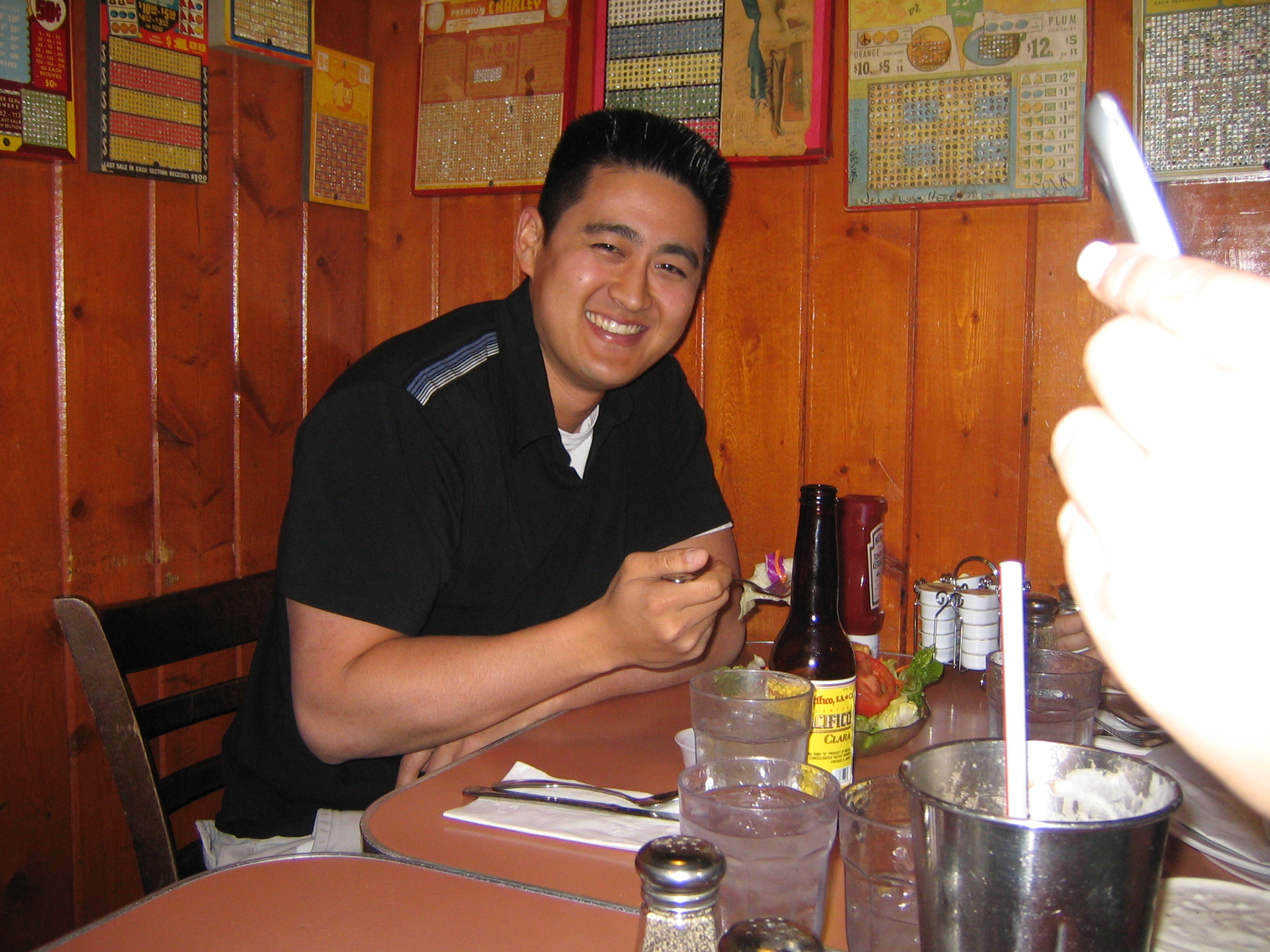
Some still-life photos for your amusement |
|
|
|
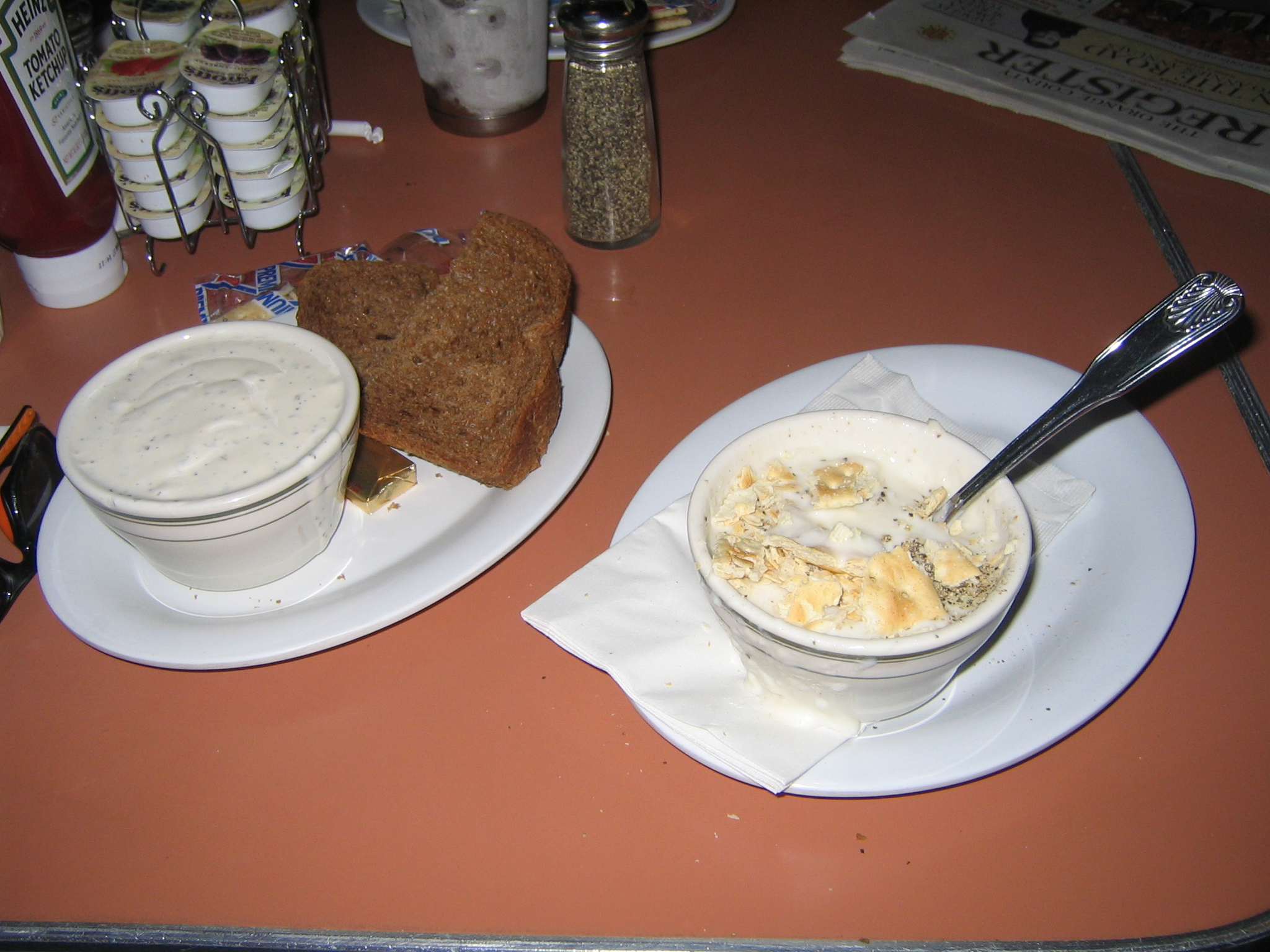
So, the bowl on the right is the clam chowder I ordered. The bowl on the left is the ranch dressing for the salad I ordered. Ridiculous. |
|
|
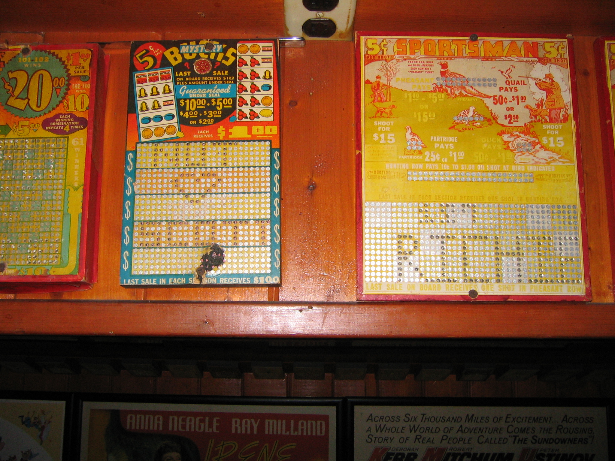
I couldn't figure out what these things were, but they were all over the walls at this restaurant. This one had my name on it :) |
|
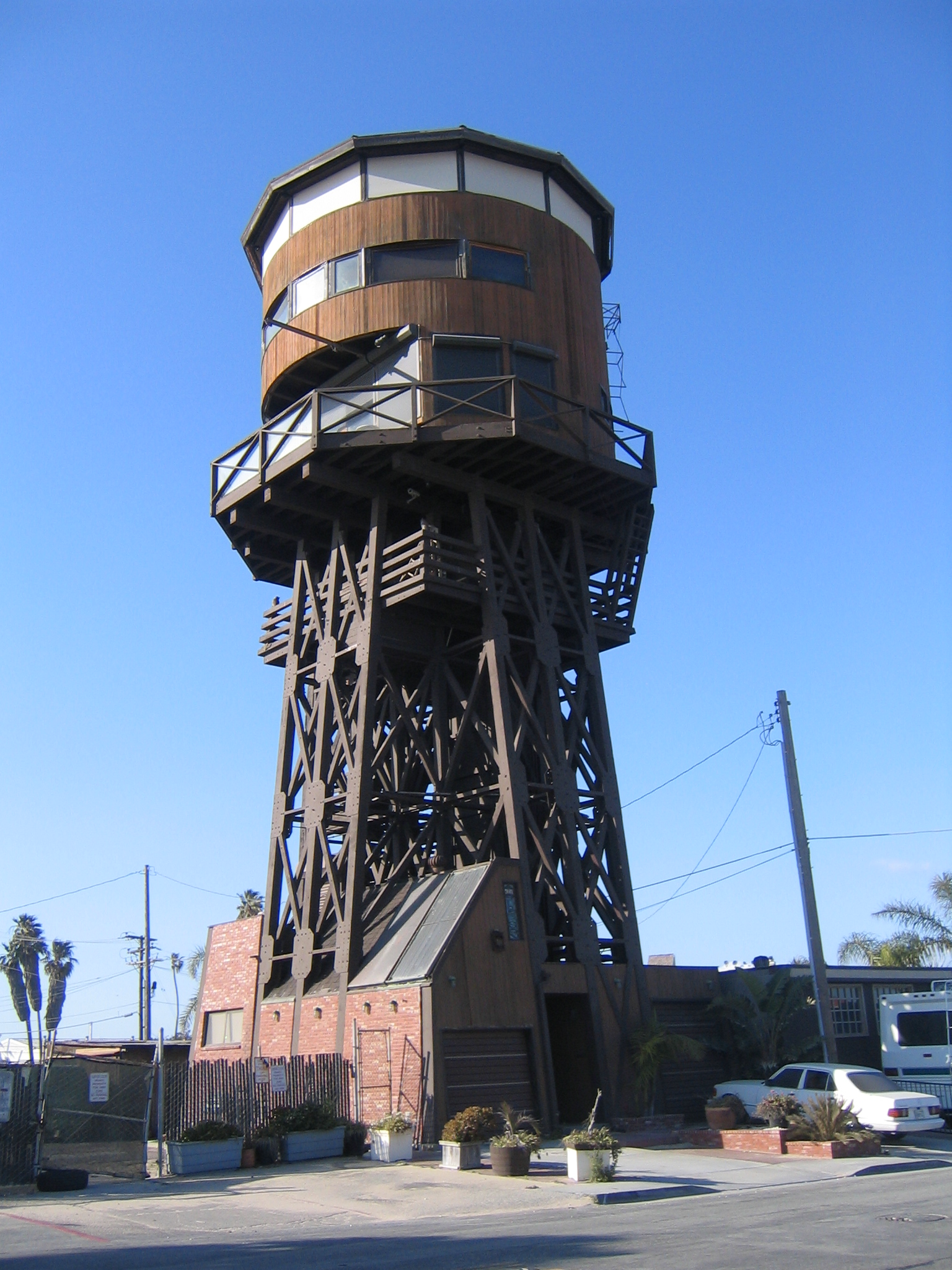
House? Old water tower? wtf? |
At Sunset beach |
|
|
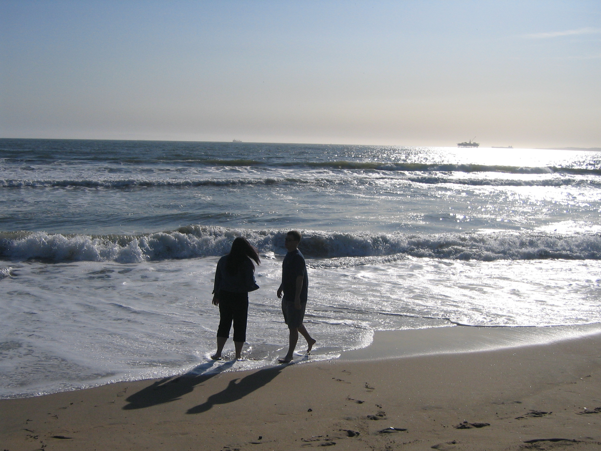
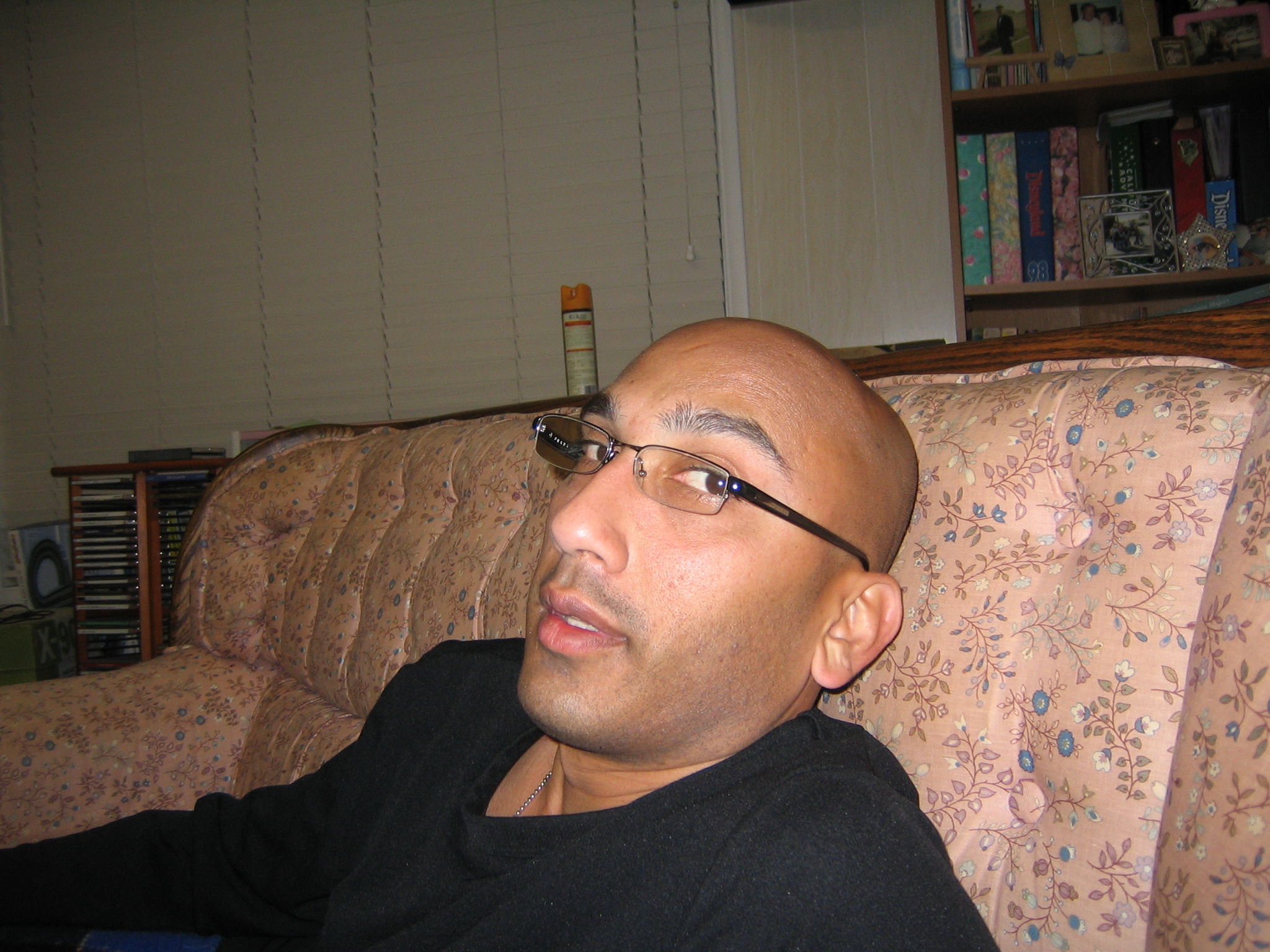
Hsien ponders life |
|
|
|
|
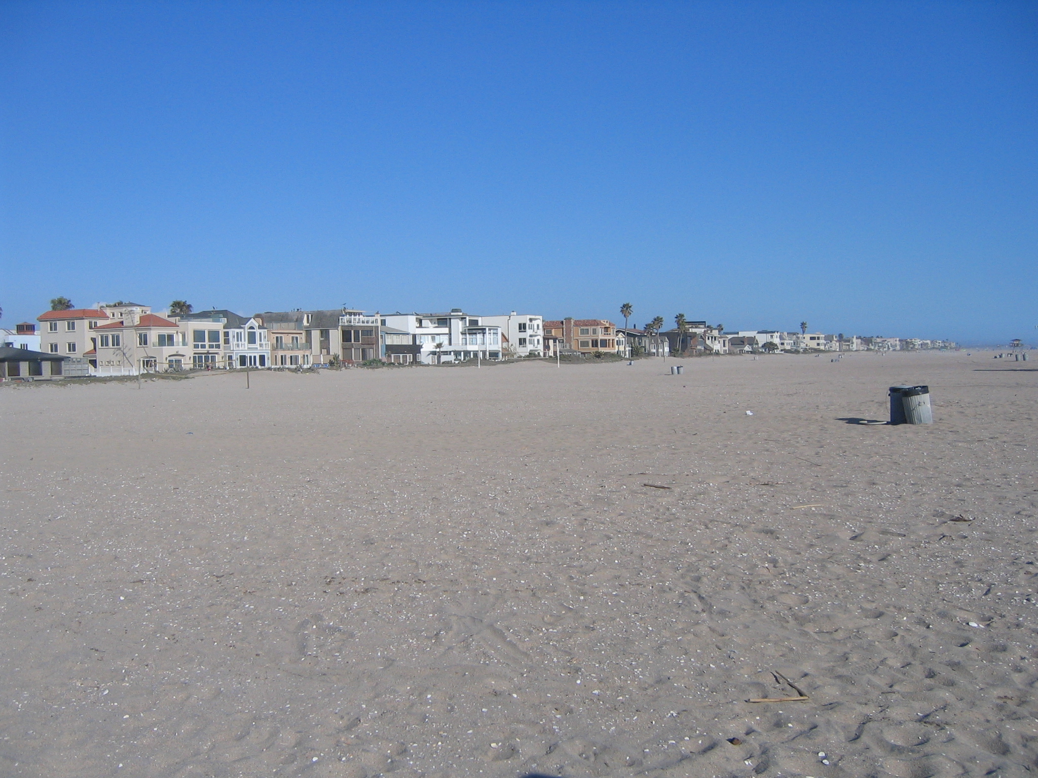
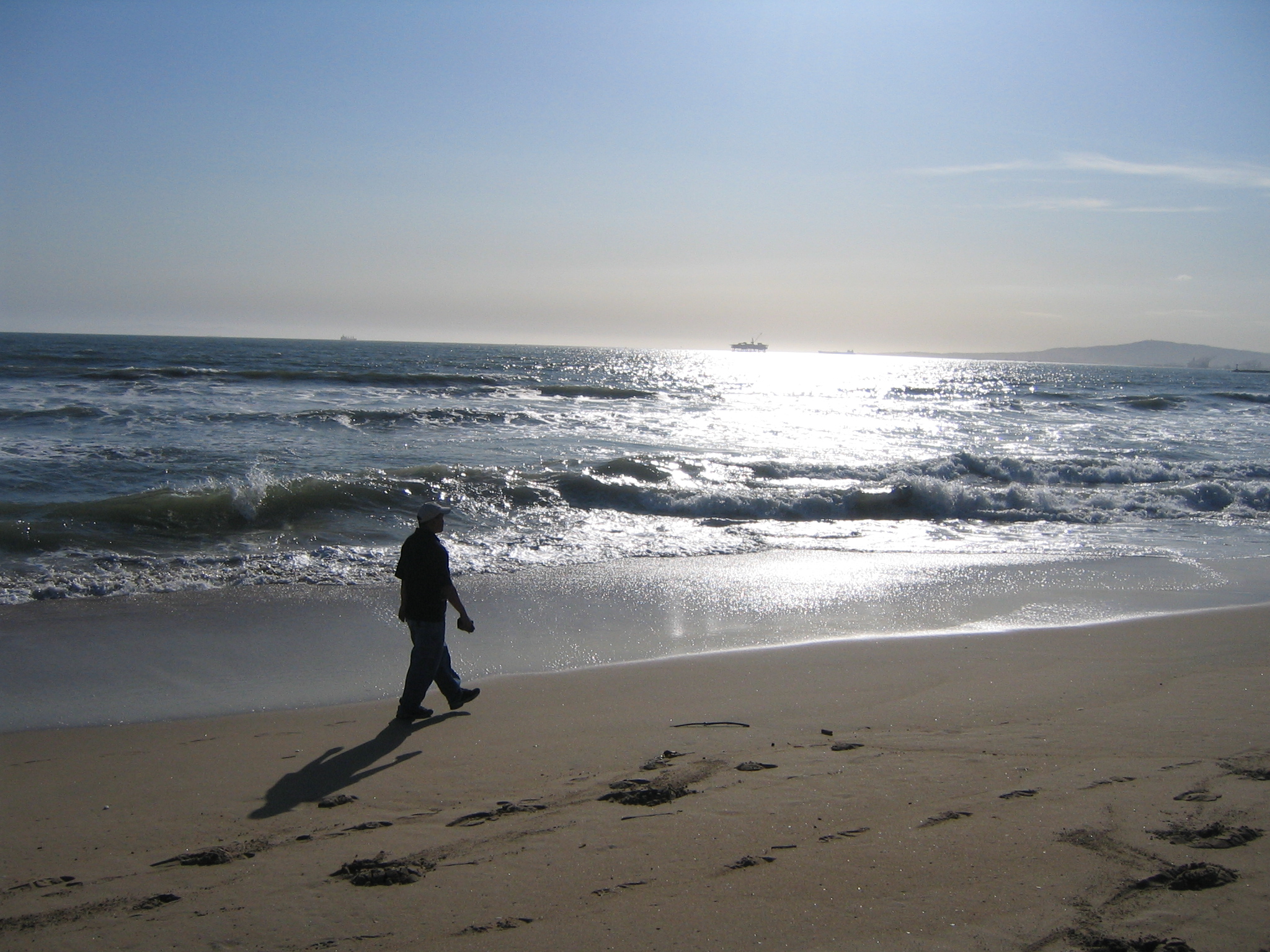
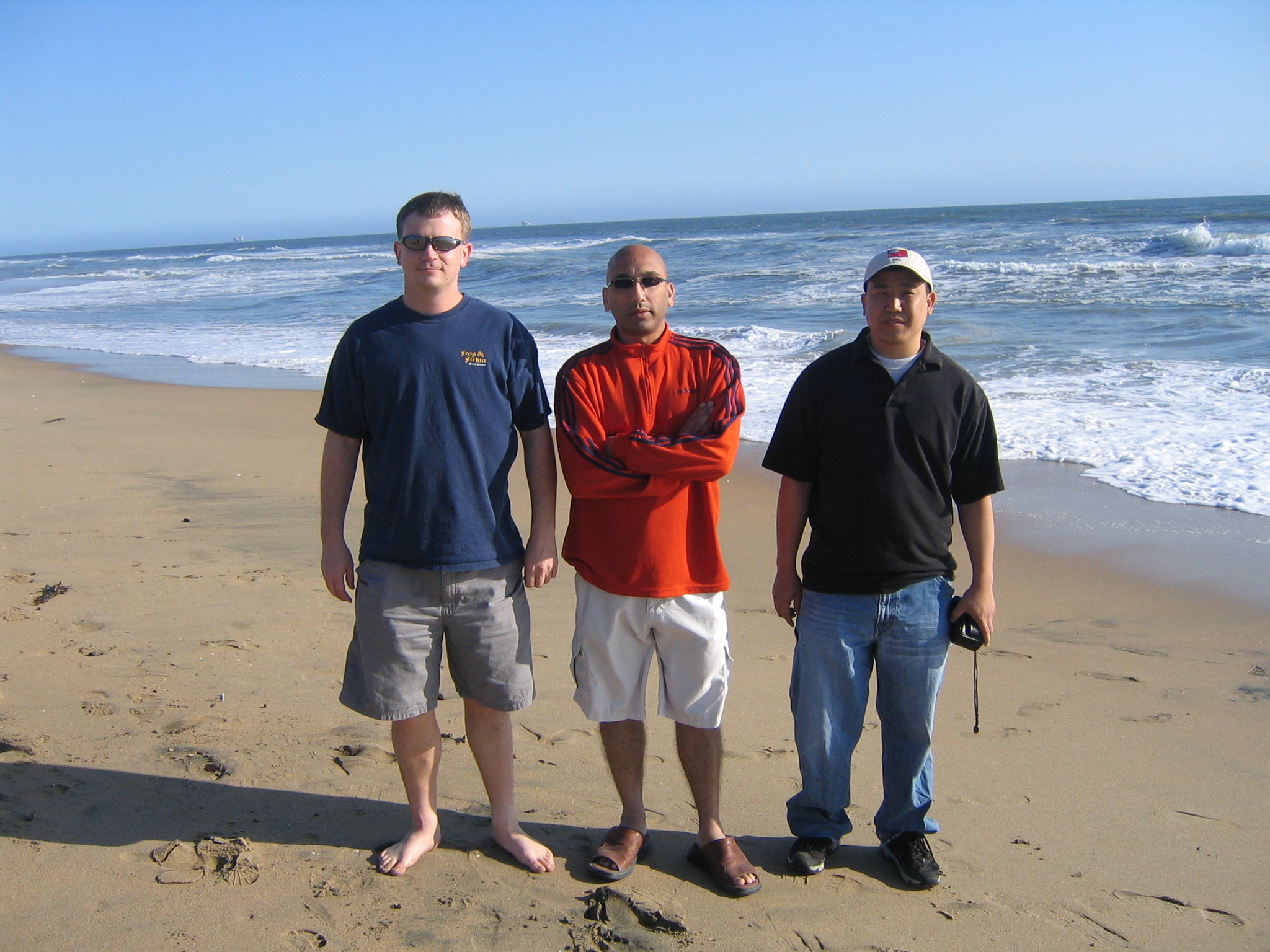
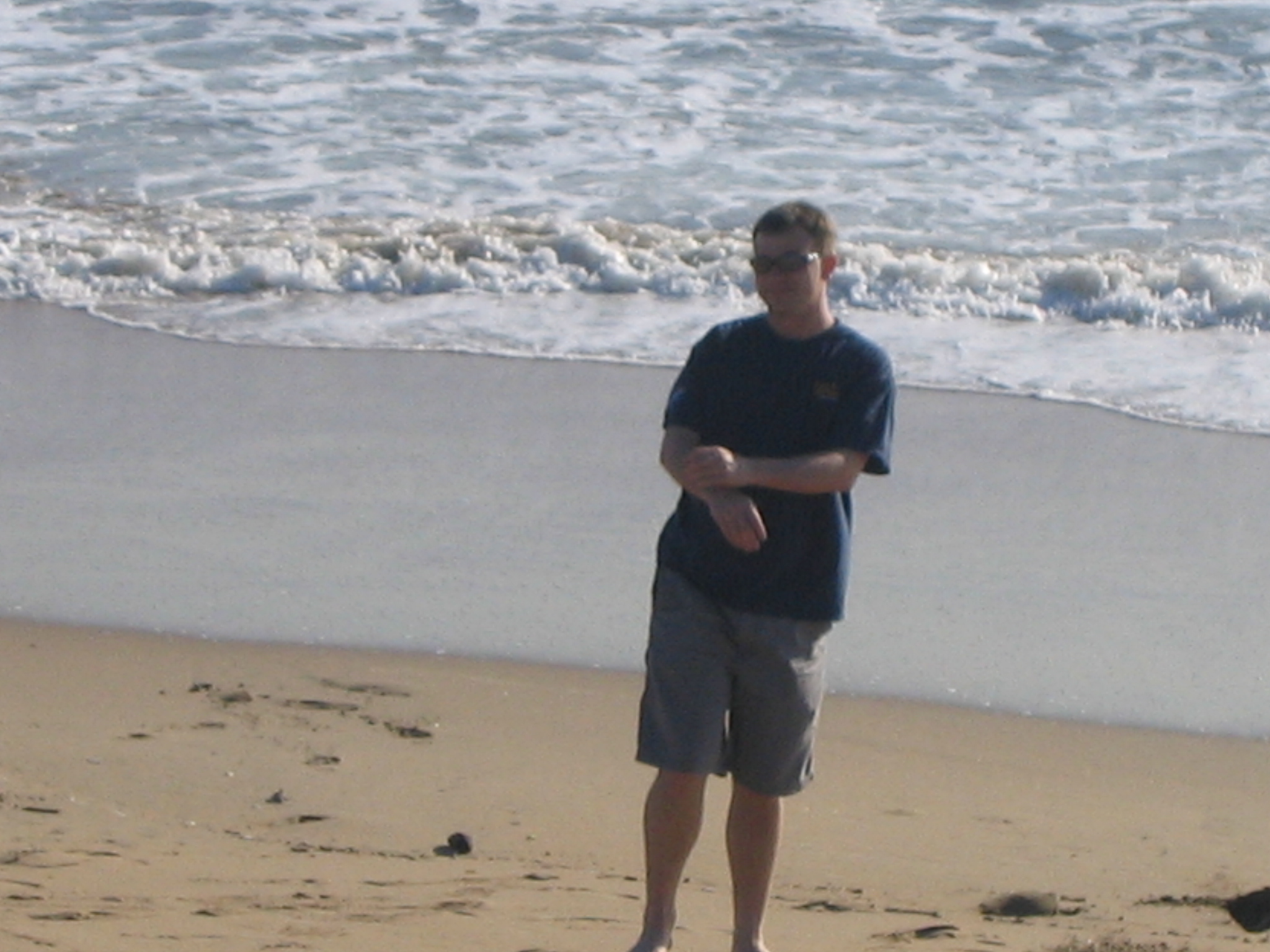
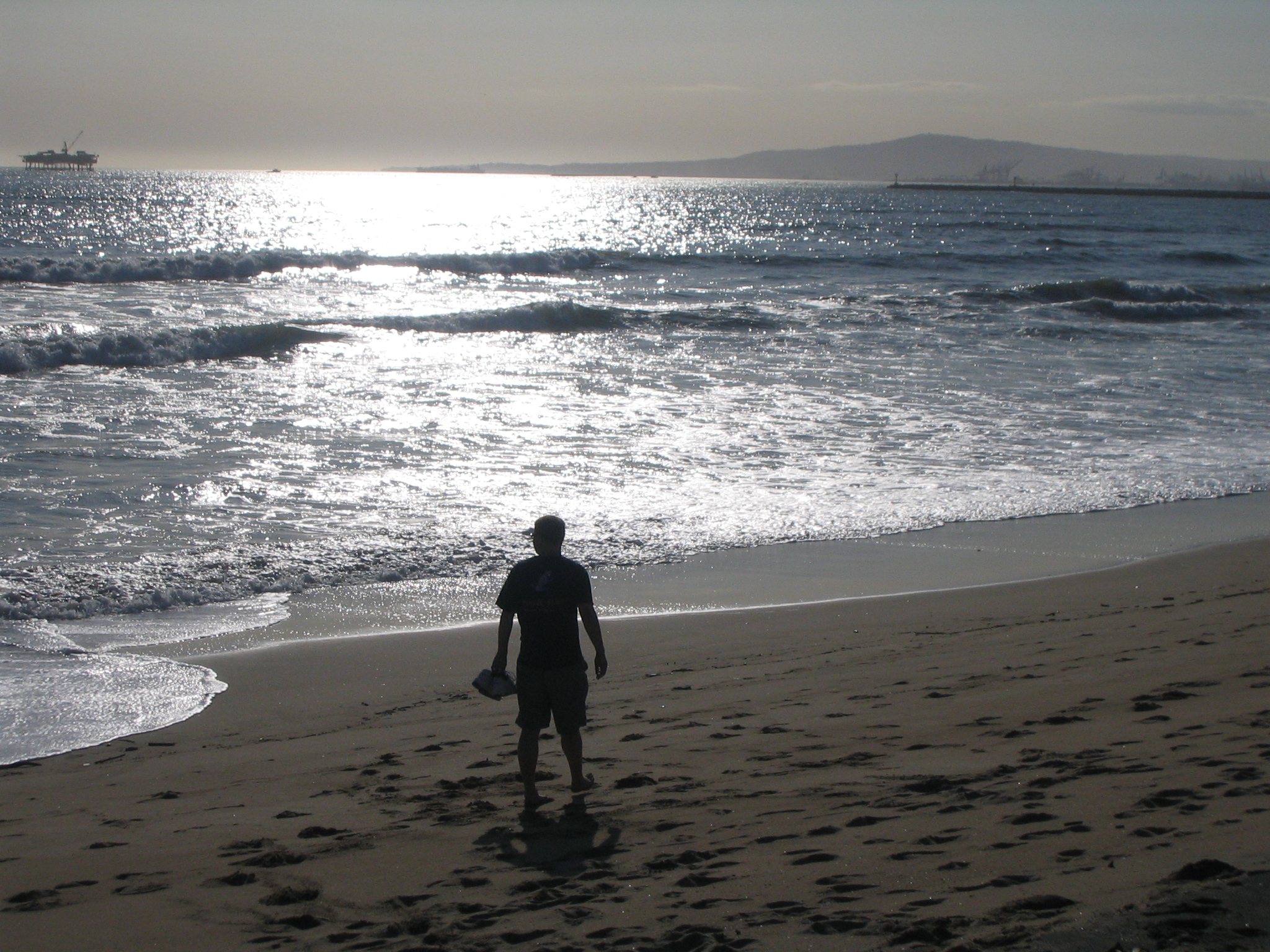
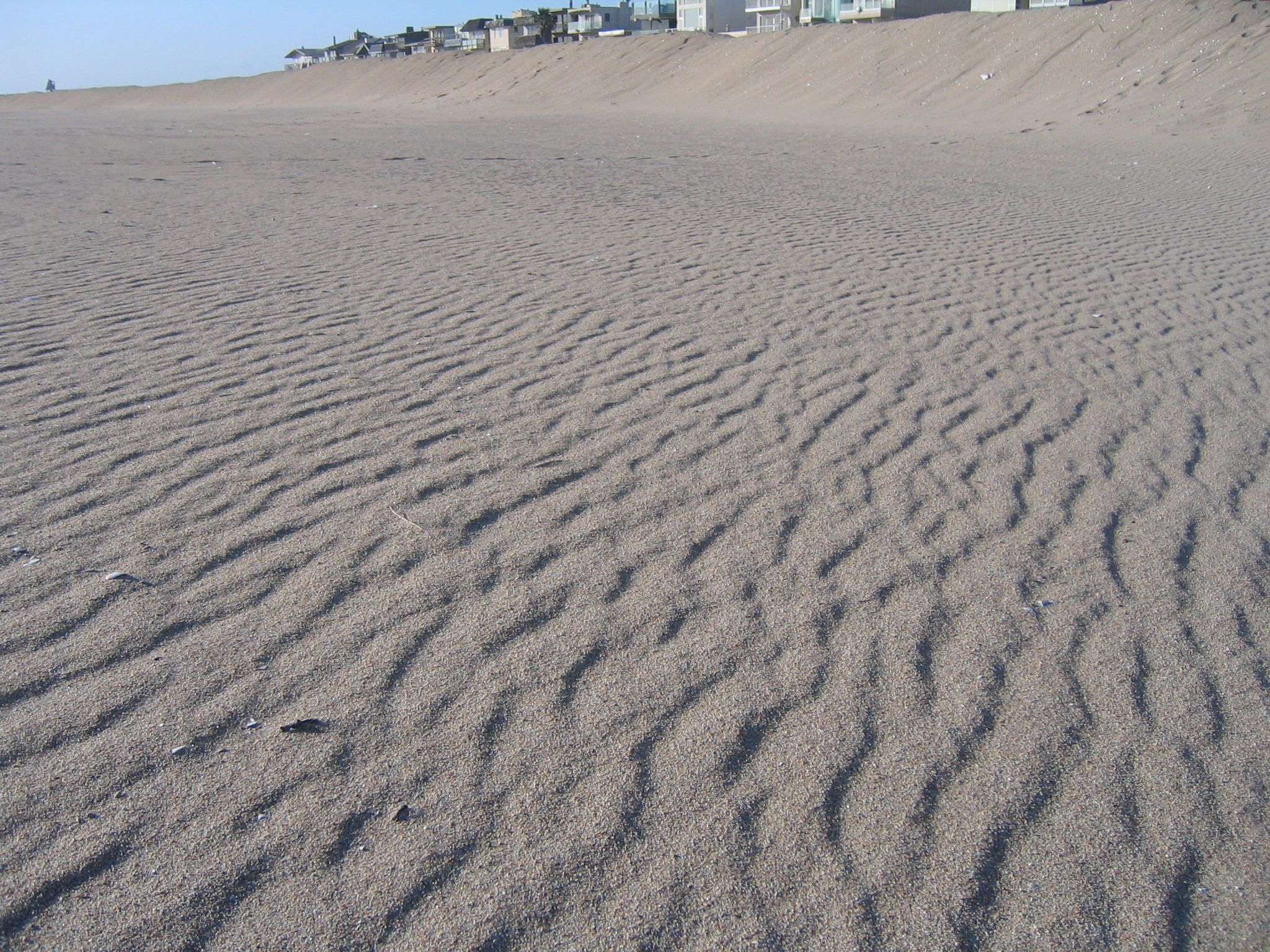
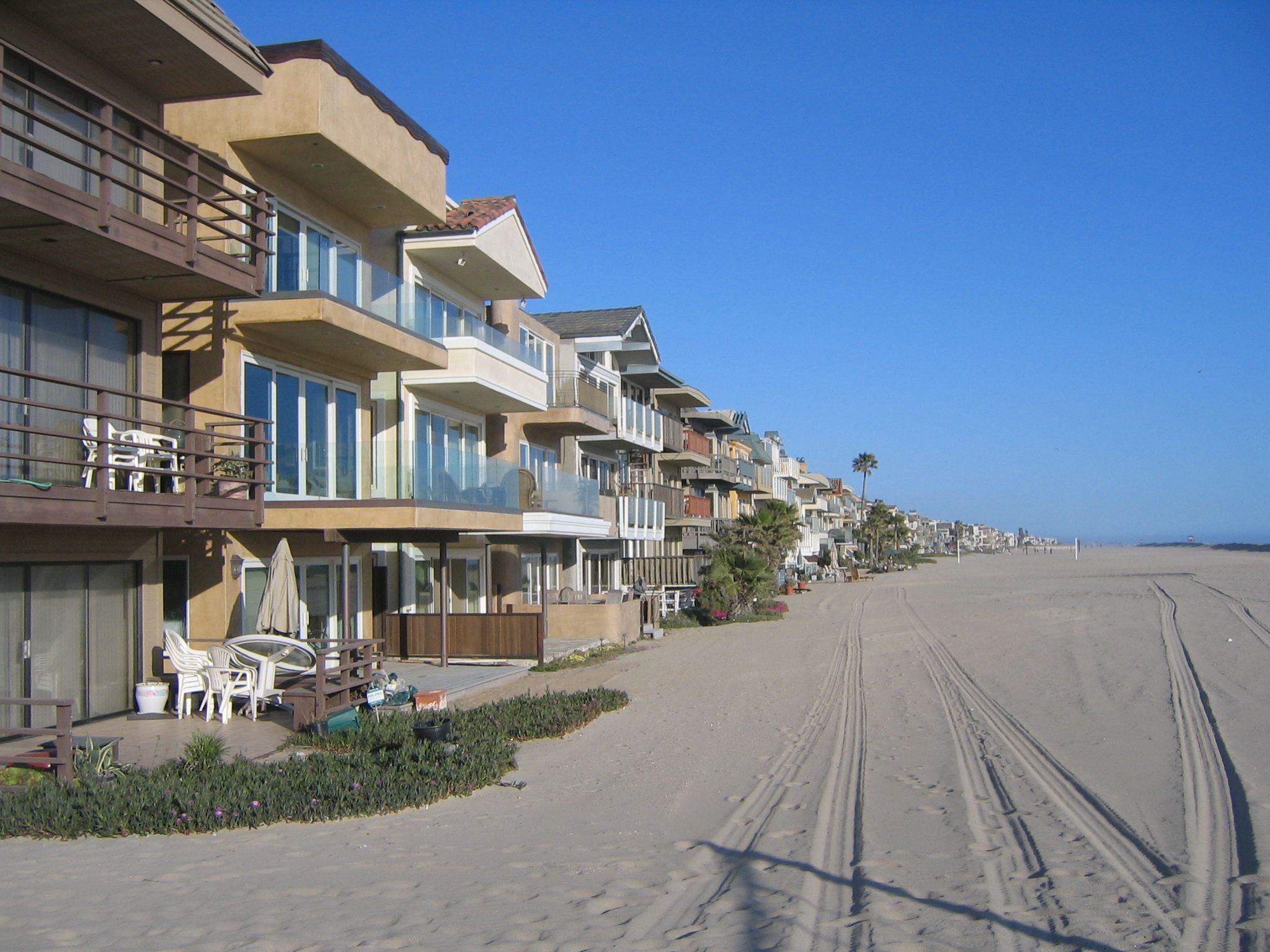
Ah, LA beaches. |
|
|

Looking up the beach towards Long Beach Harbor |
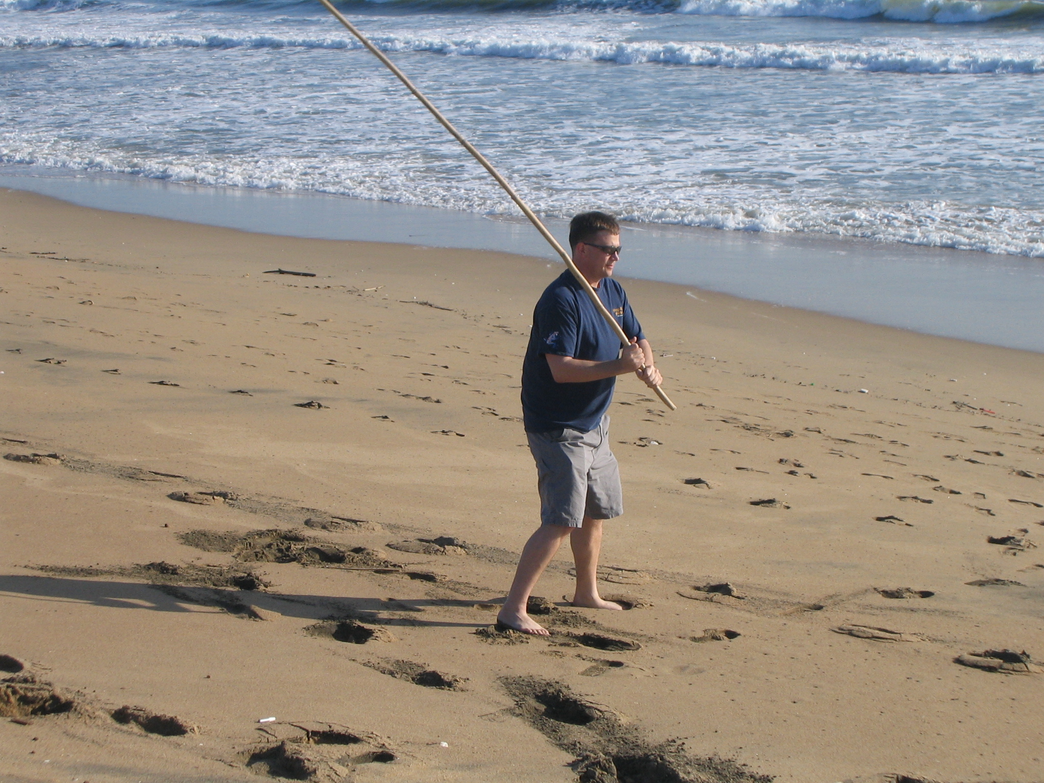
Time for some ad-hoc baseball |
|

|
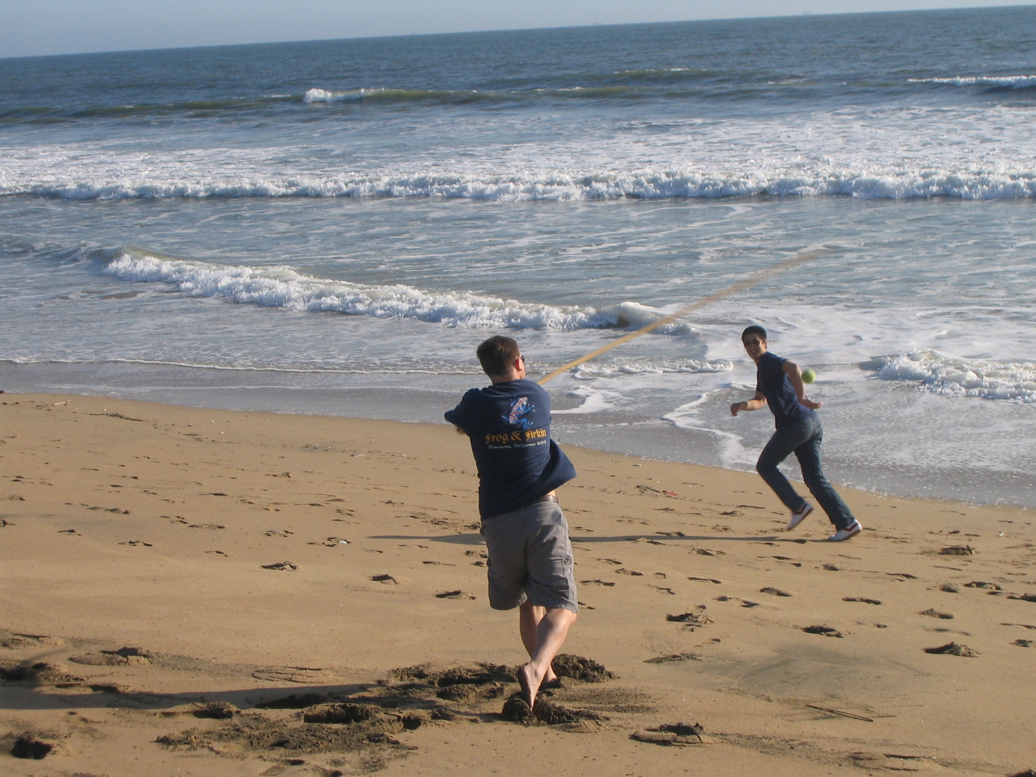
Swing and a miss! |
|
|
|
|
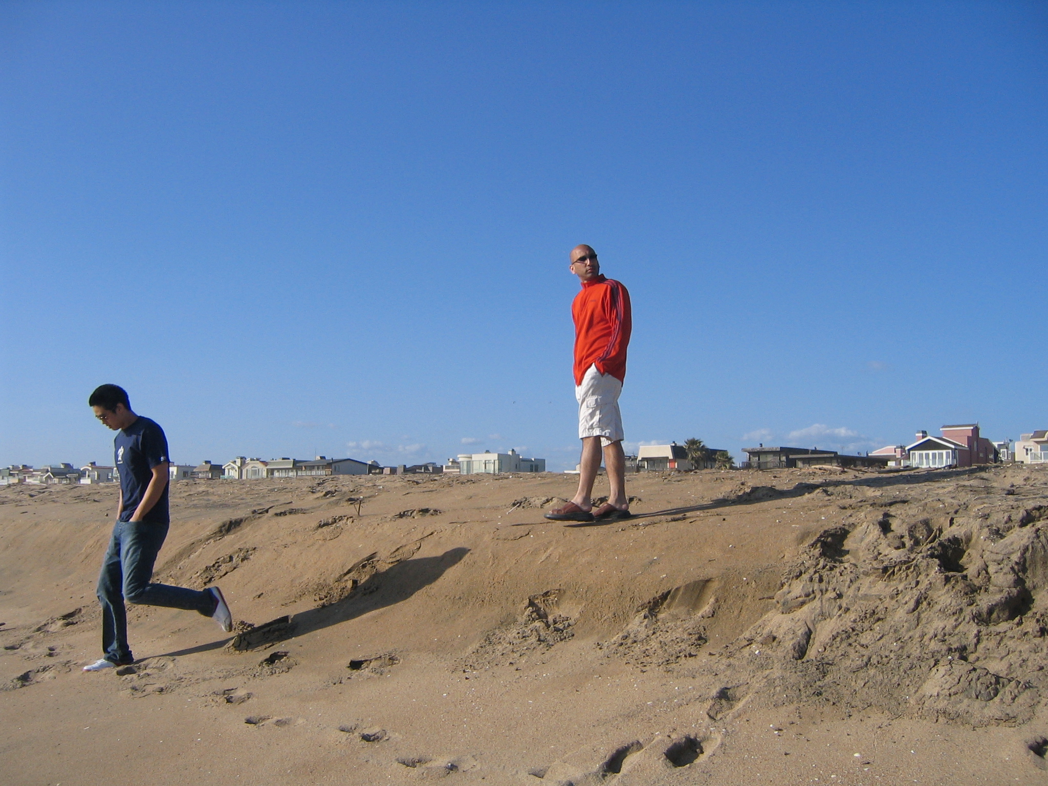
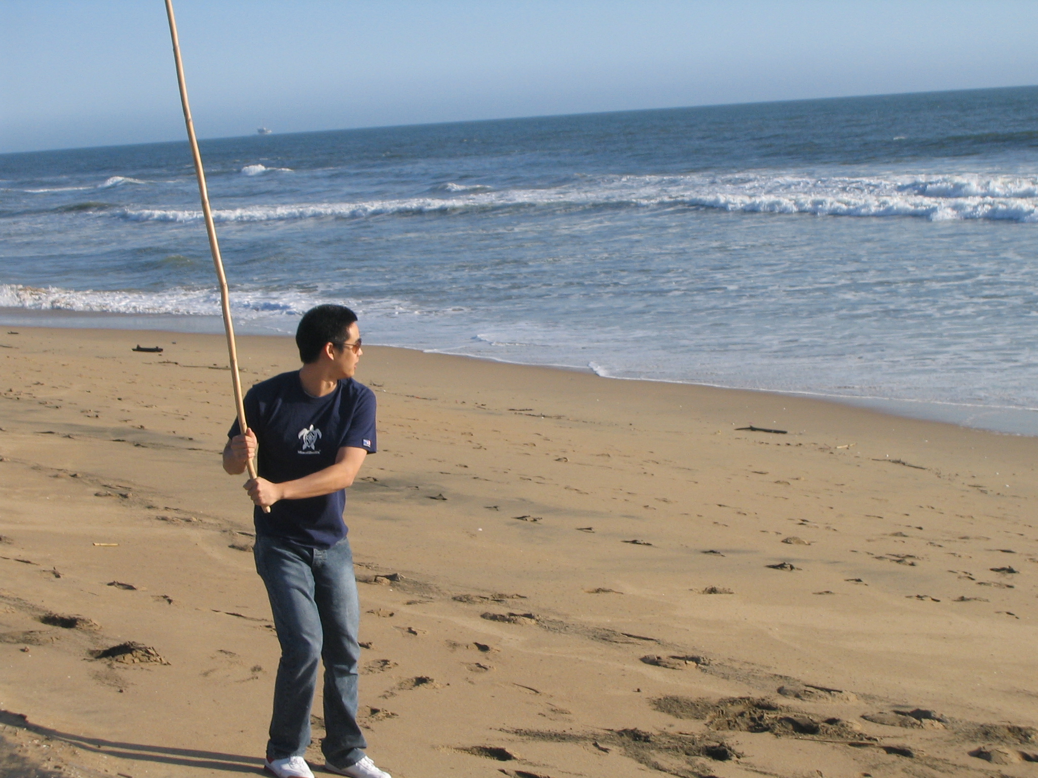
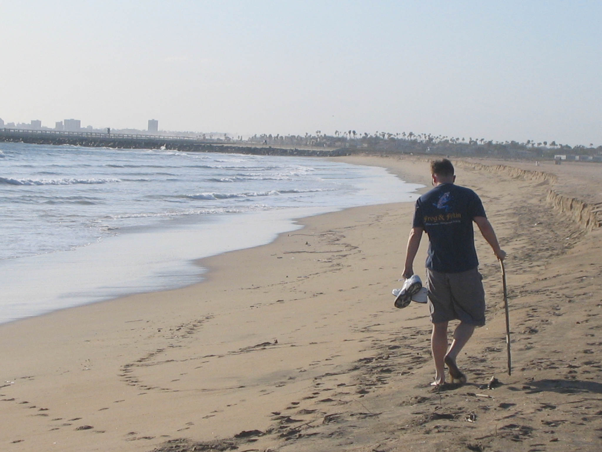
My turn to ponder life |
|
|
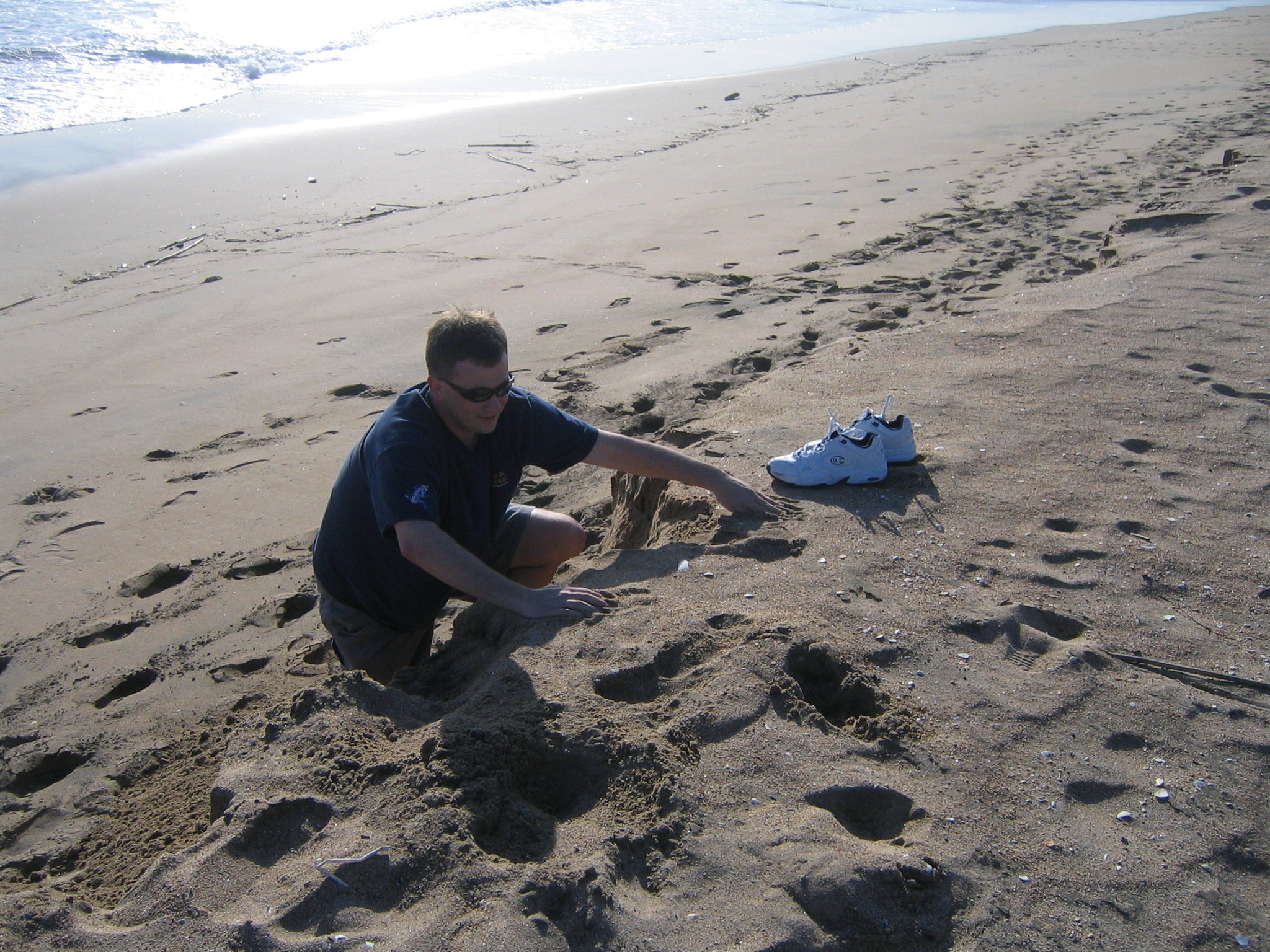
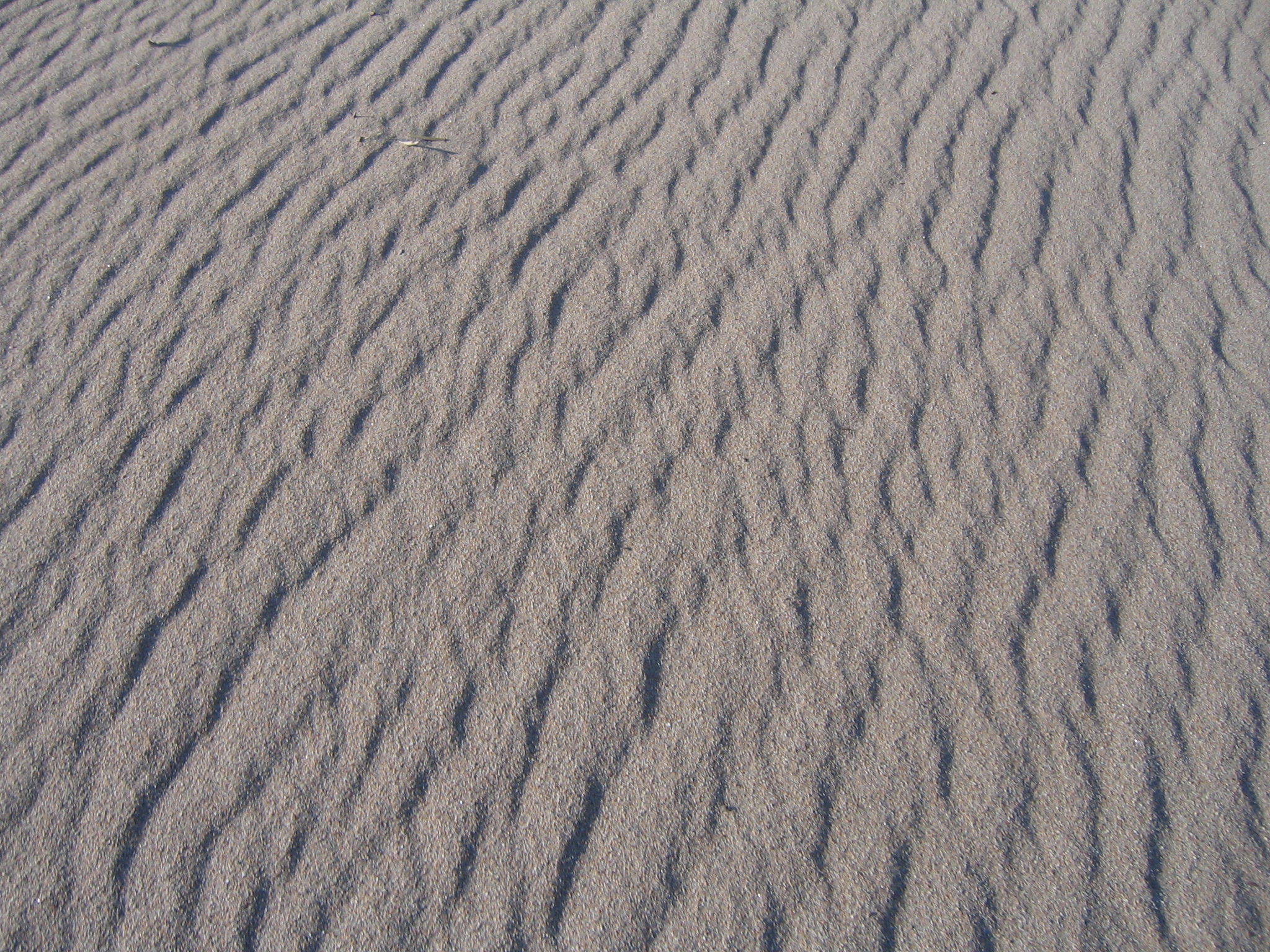
So, the beach had this 4-5' cliff of sand that I enjoyed walking near the edge of and causing landslides. Occasionally I'd slide down. Here I am trying to get back up. |
|
|
|
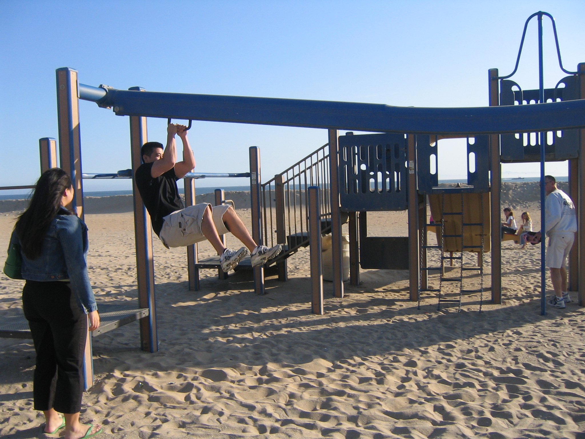
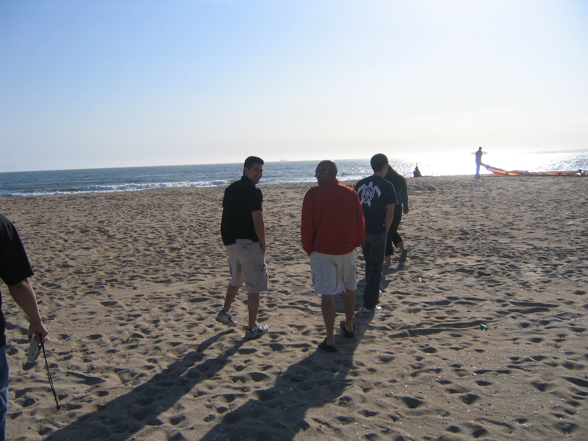
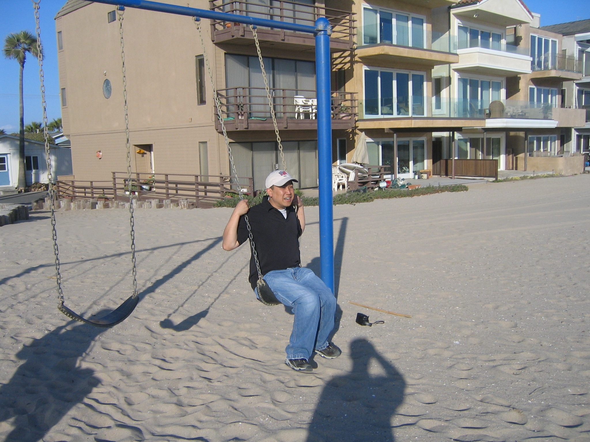
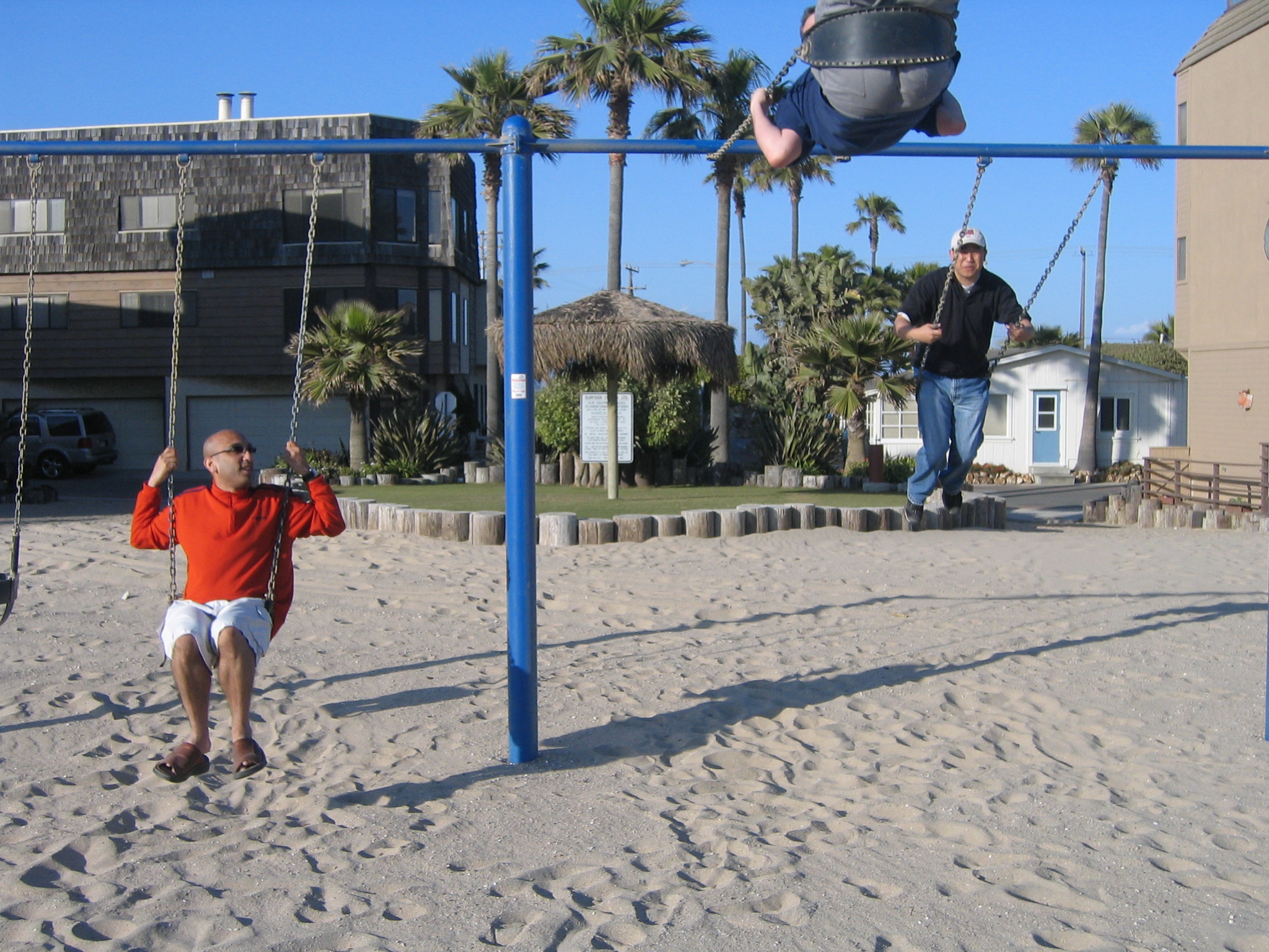
Then we found the playground... |
|
|
|
|
|
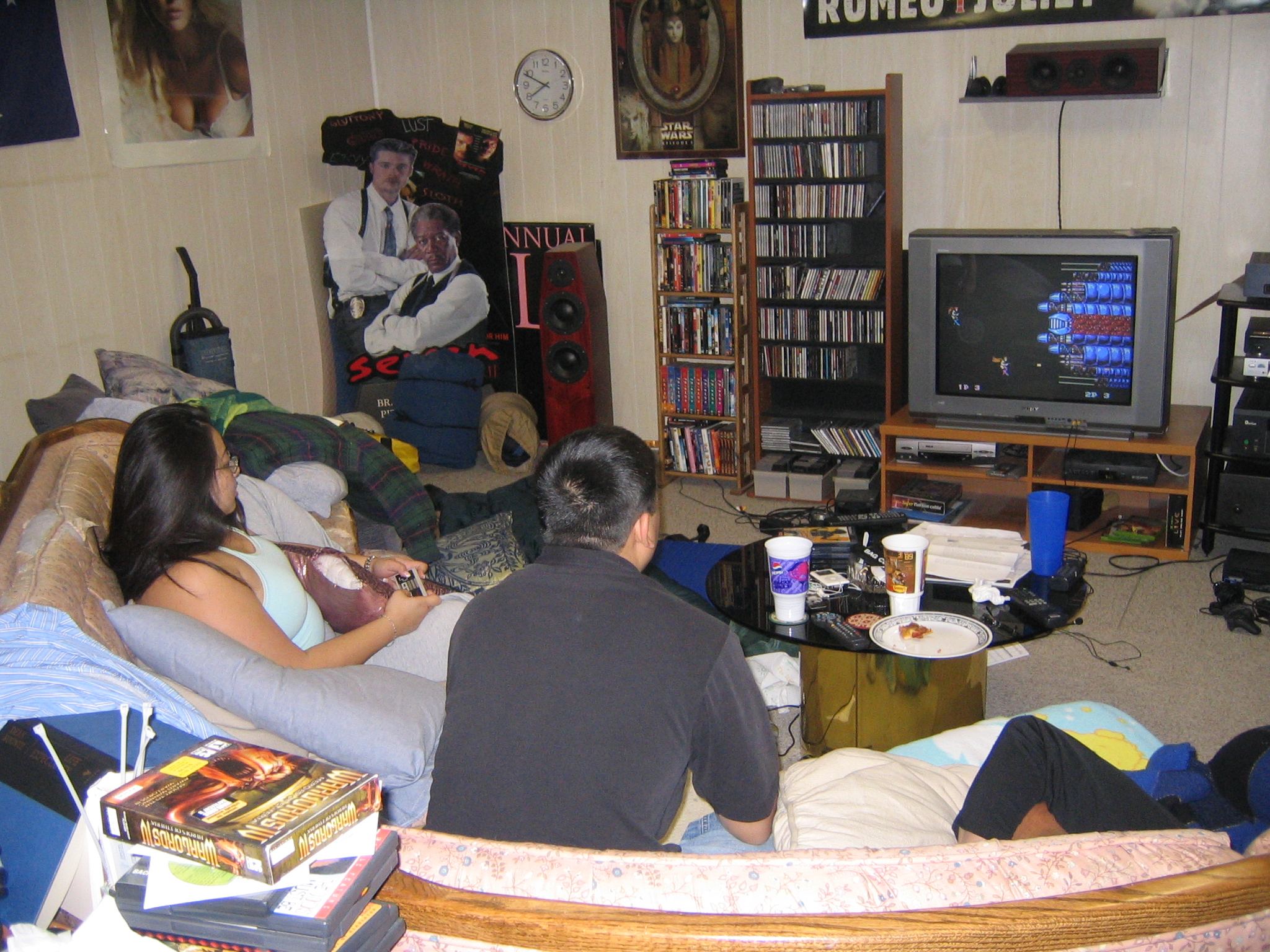
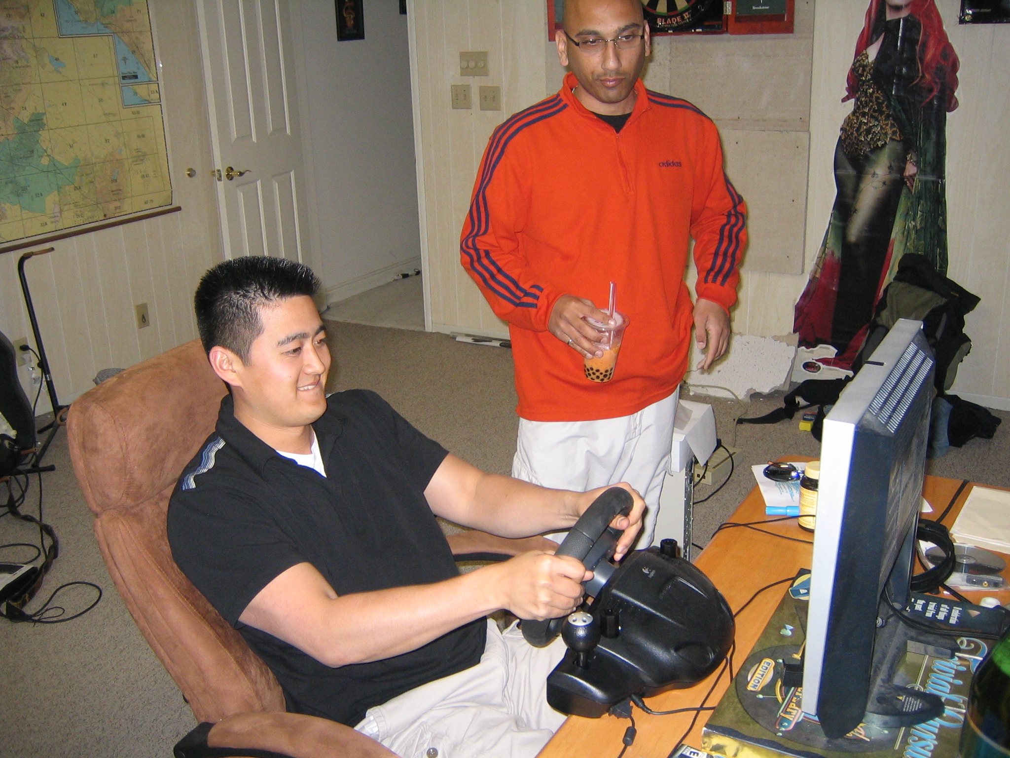
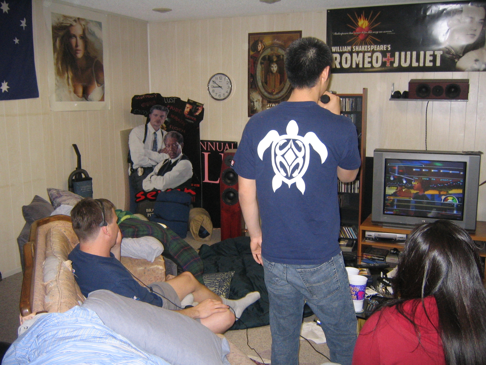
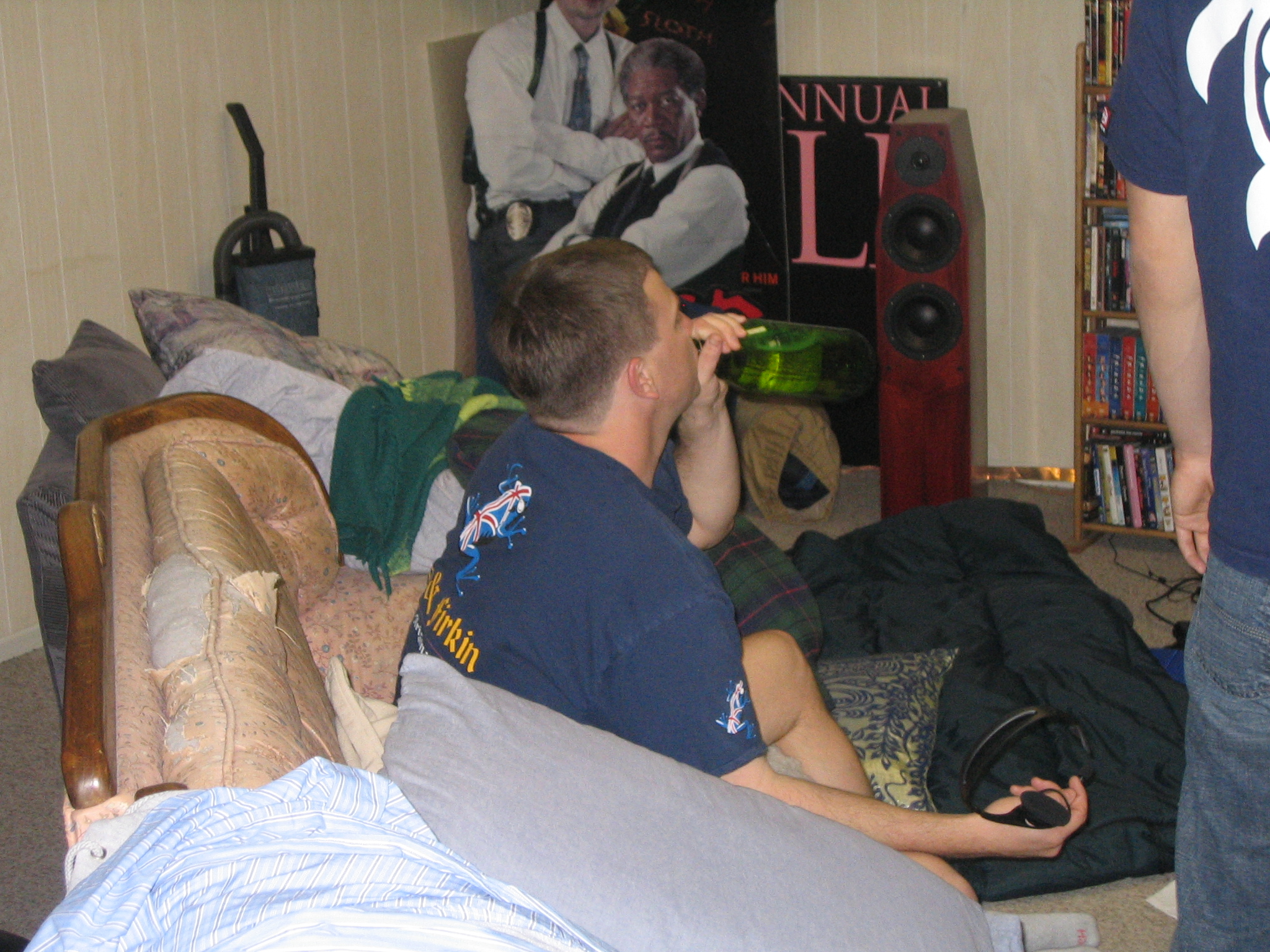
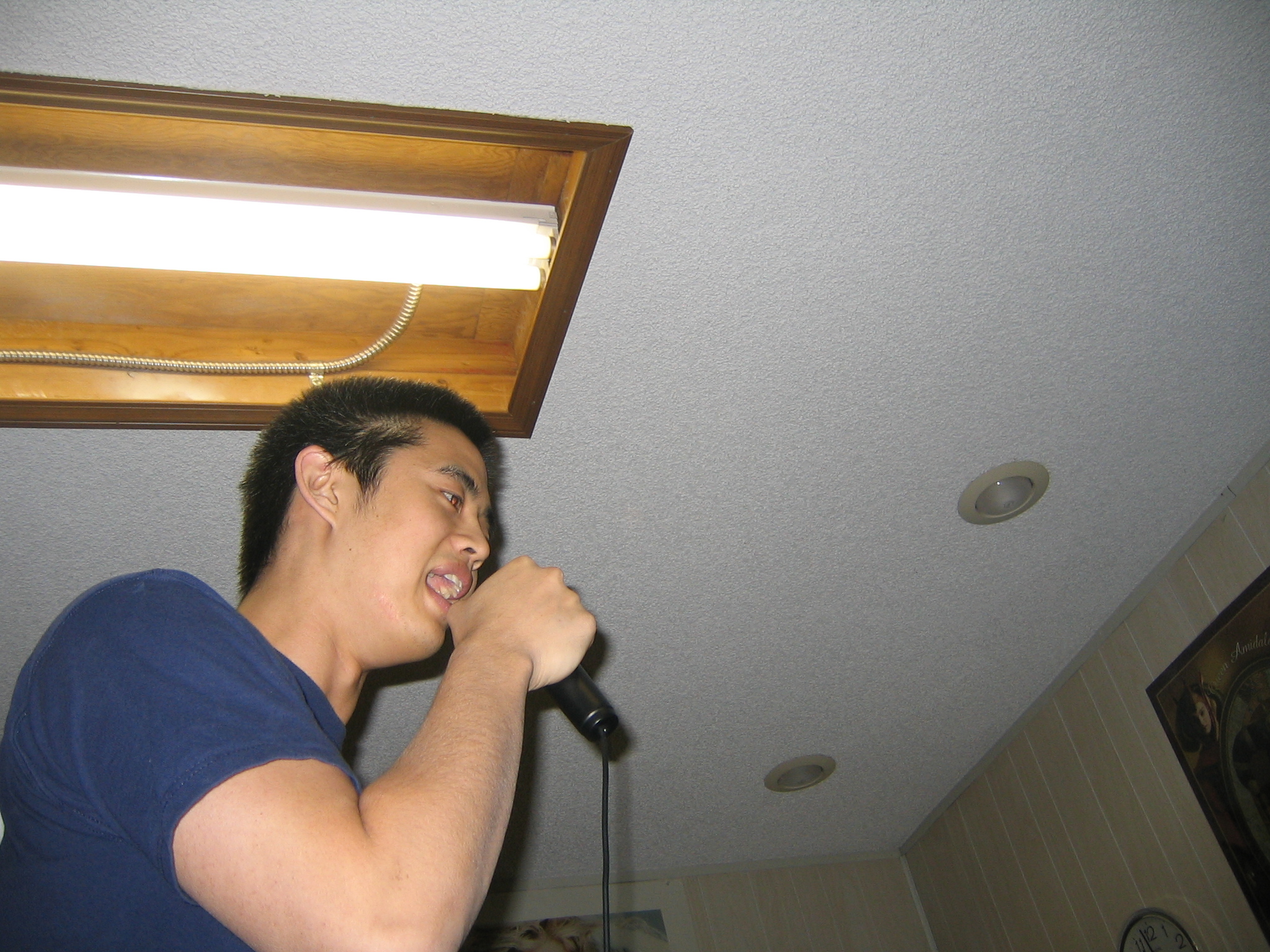
Back at the game room... |
|
|
|
|
|
|
|
|
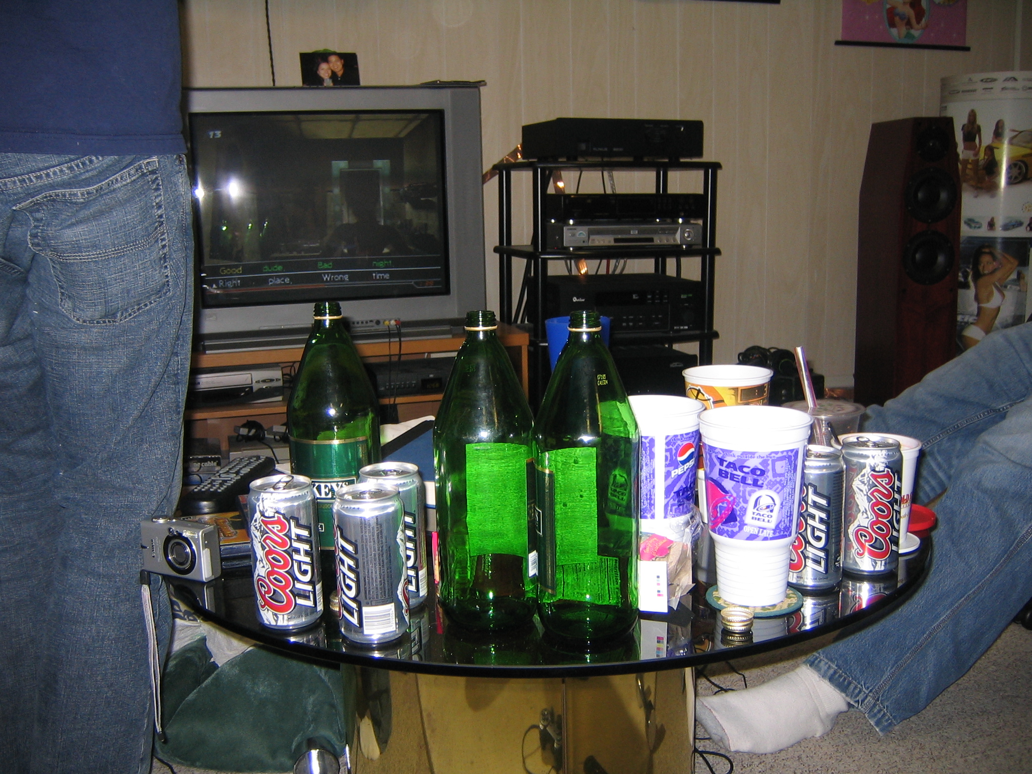
I didn't drink any of this stuff. |
|
|
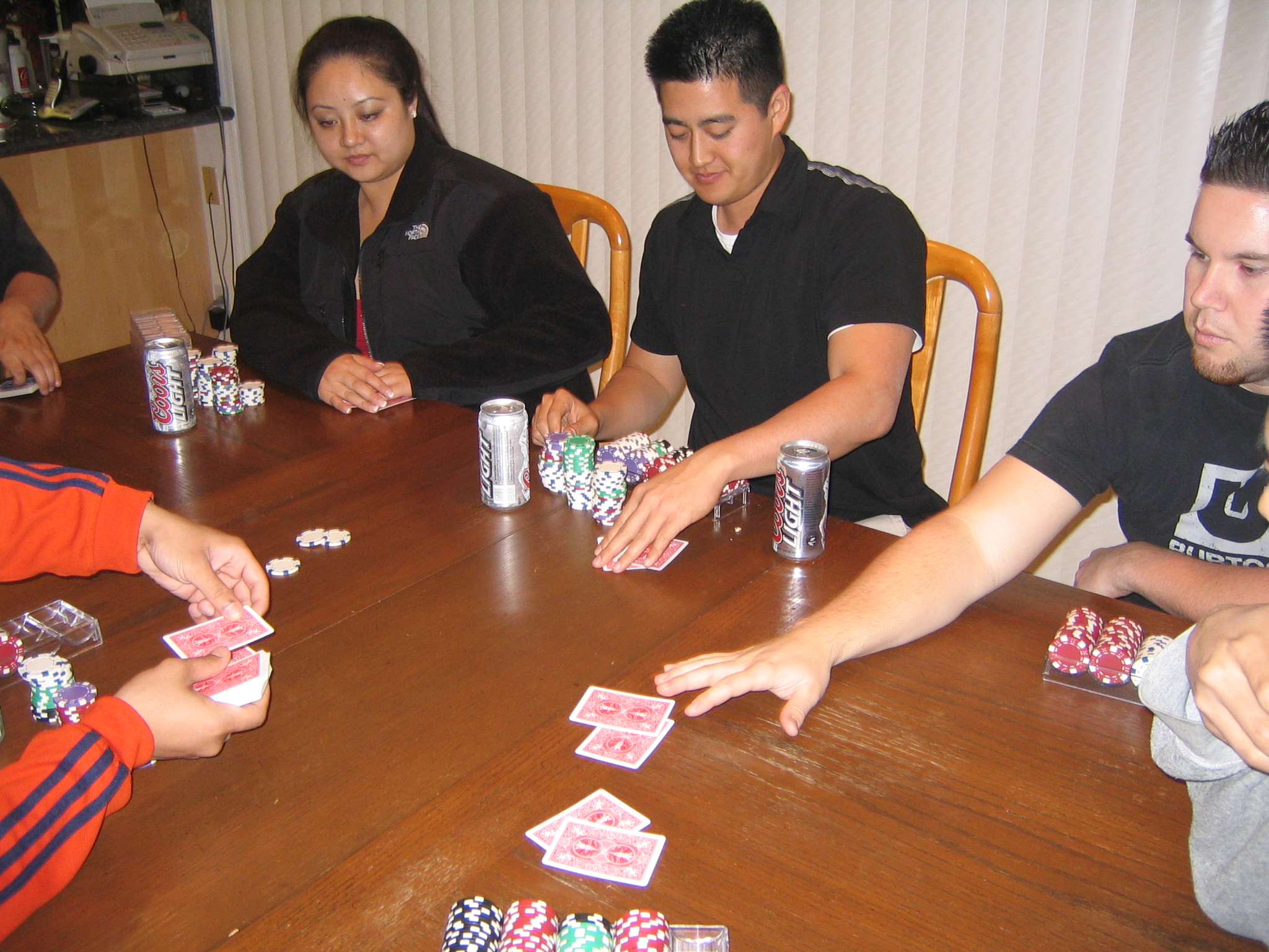
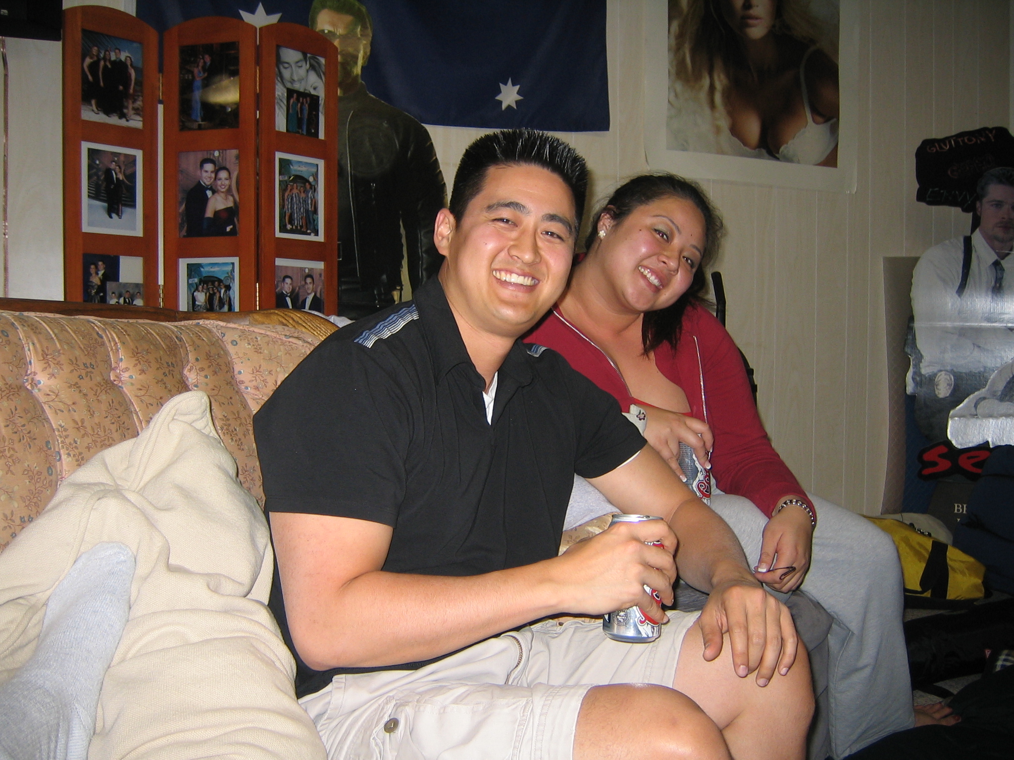
Poker night |
|
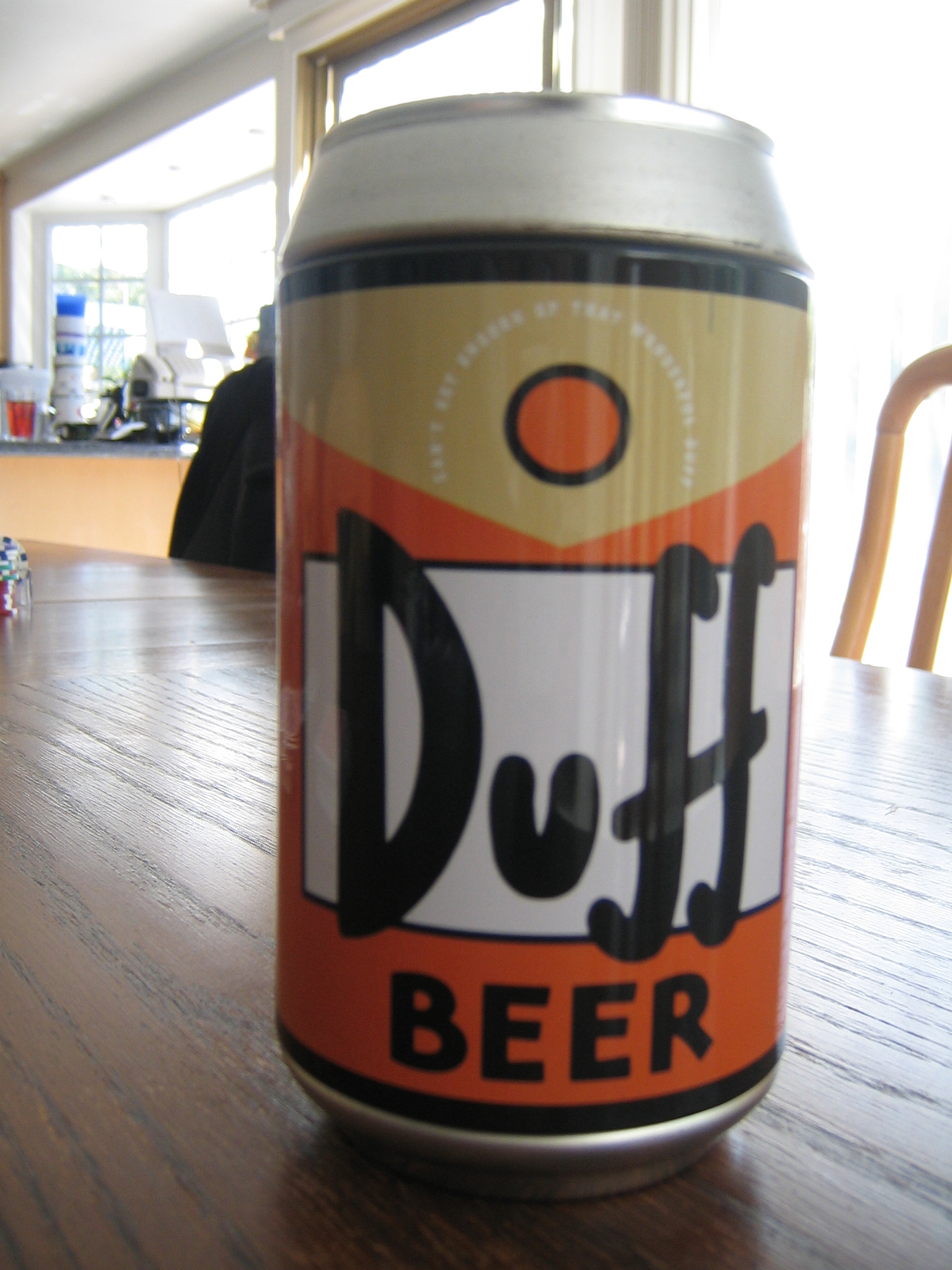
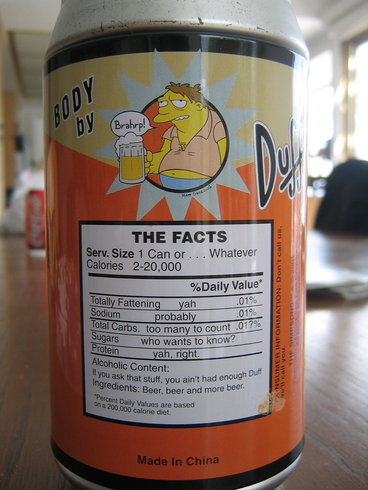
Duff beer! |
|
|
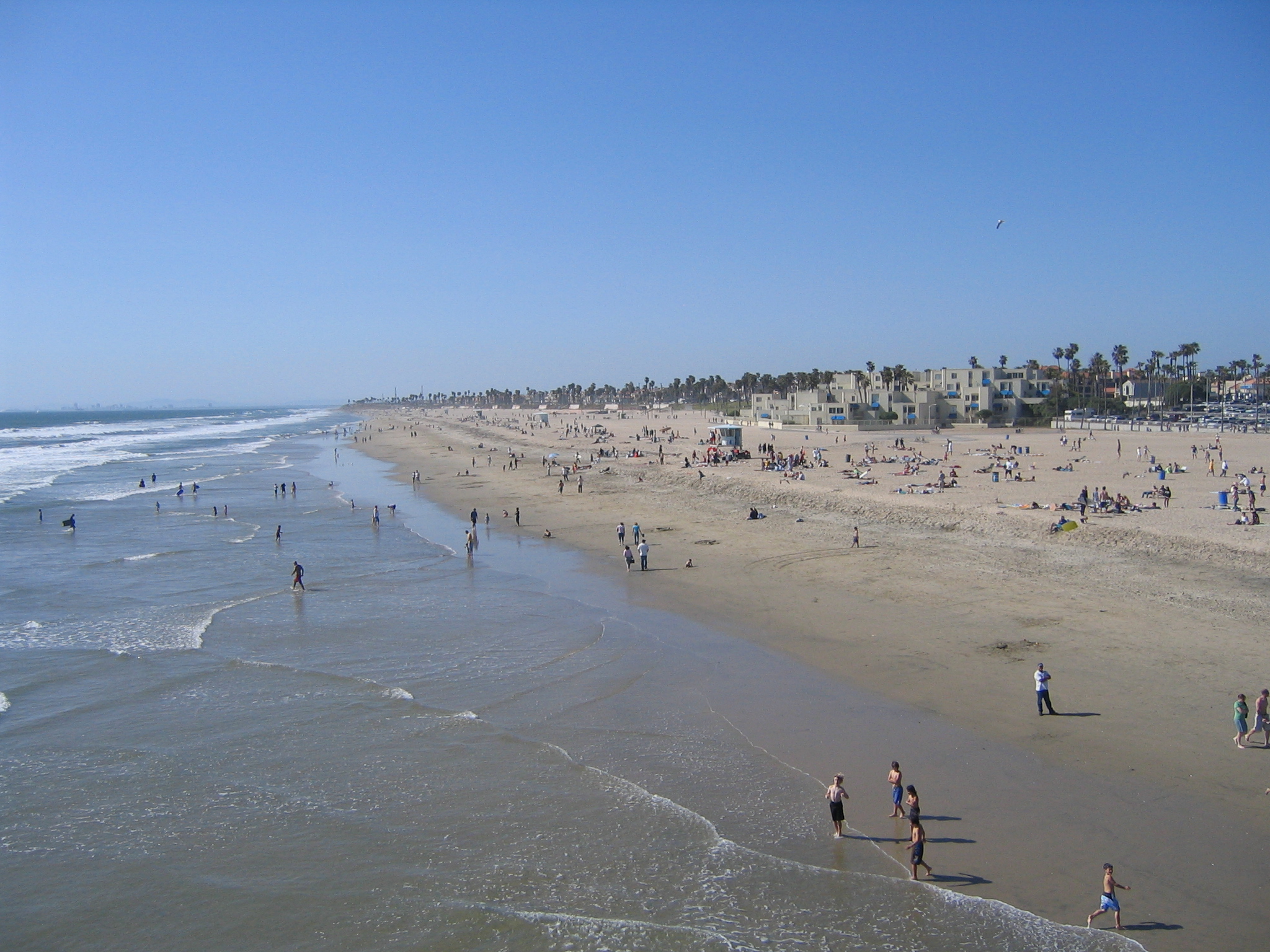
Huntington Beach pier looking north |
|
|
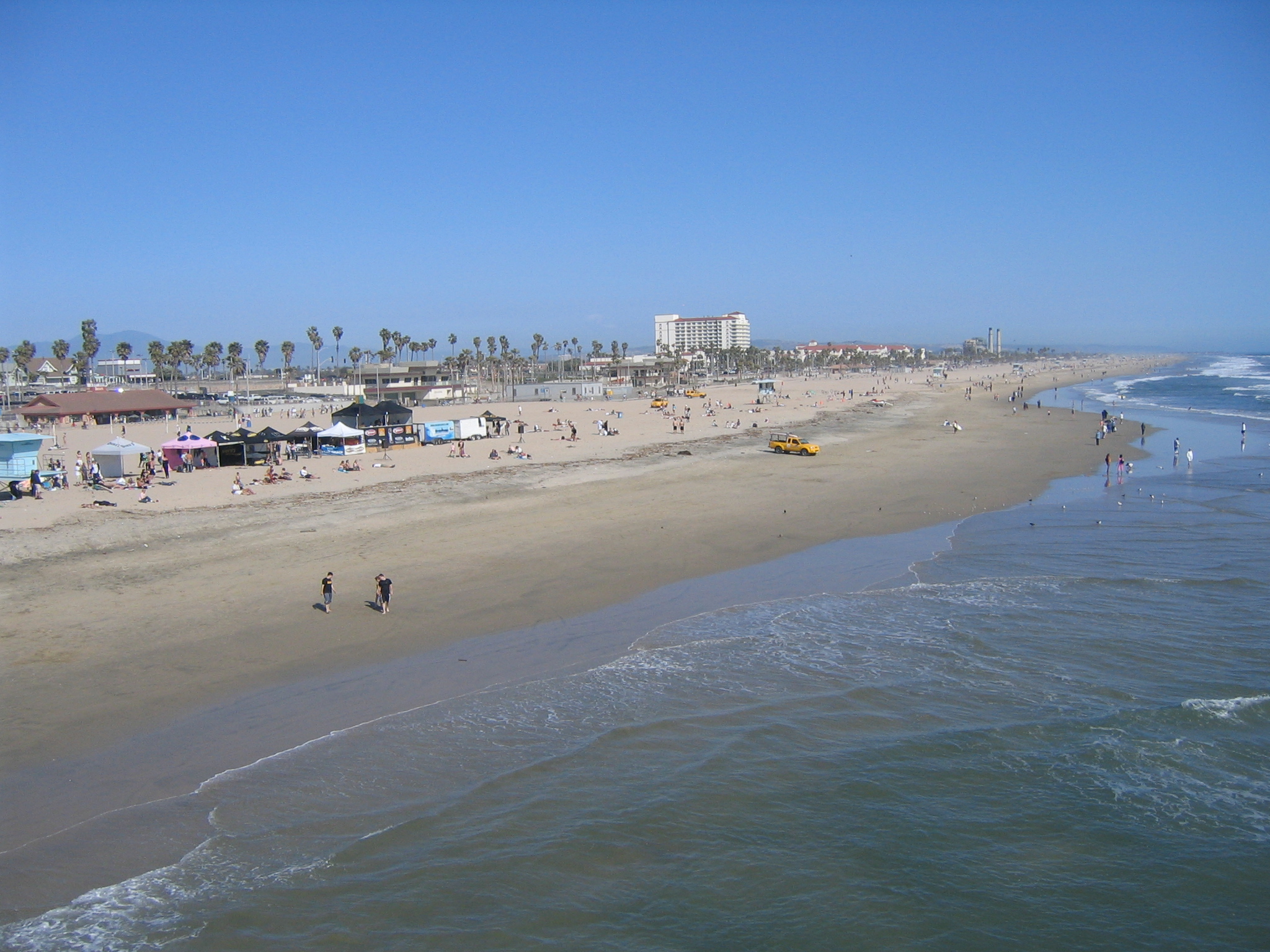
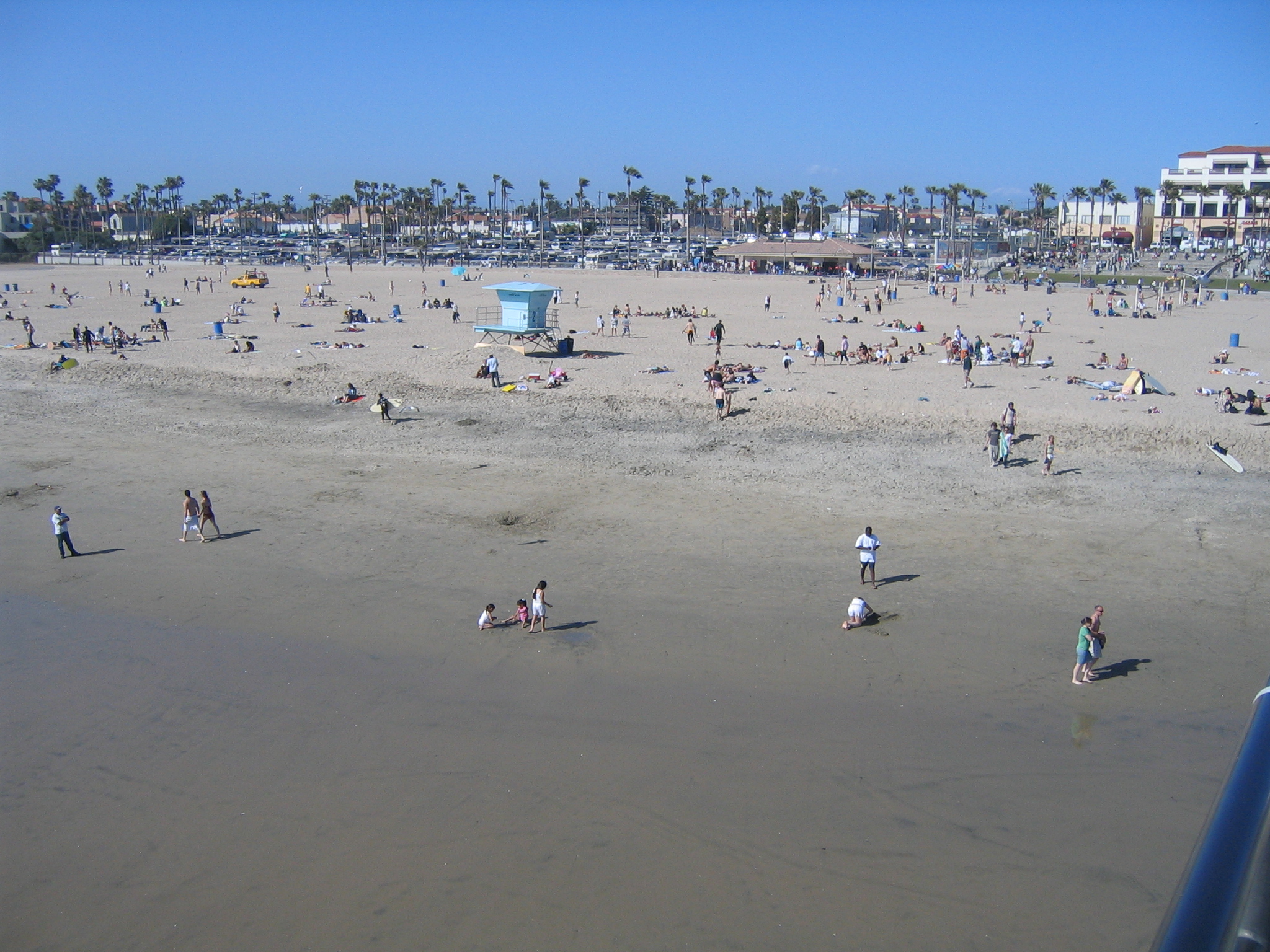
and south |
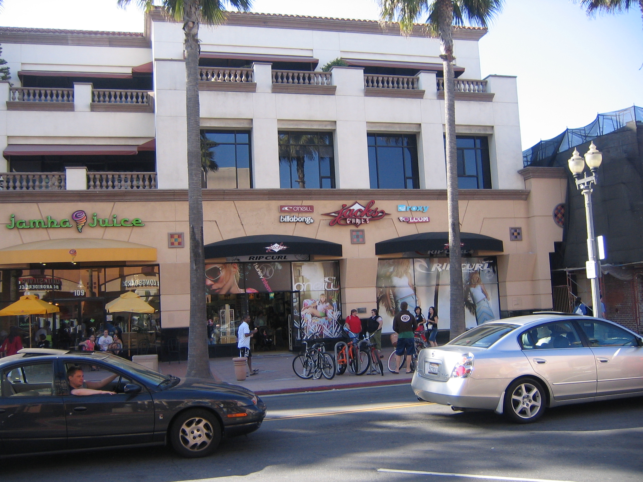
Jack's girls. Don't ask. |
|
Time to leave. Looking south towards Newport from over Huntington Beach |
Looking northeast |
|
Looking Northwest towards Long Beach Harbor |
Heading north, looking east |
|
|
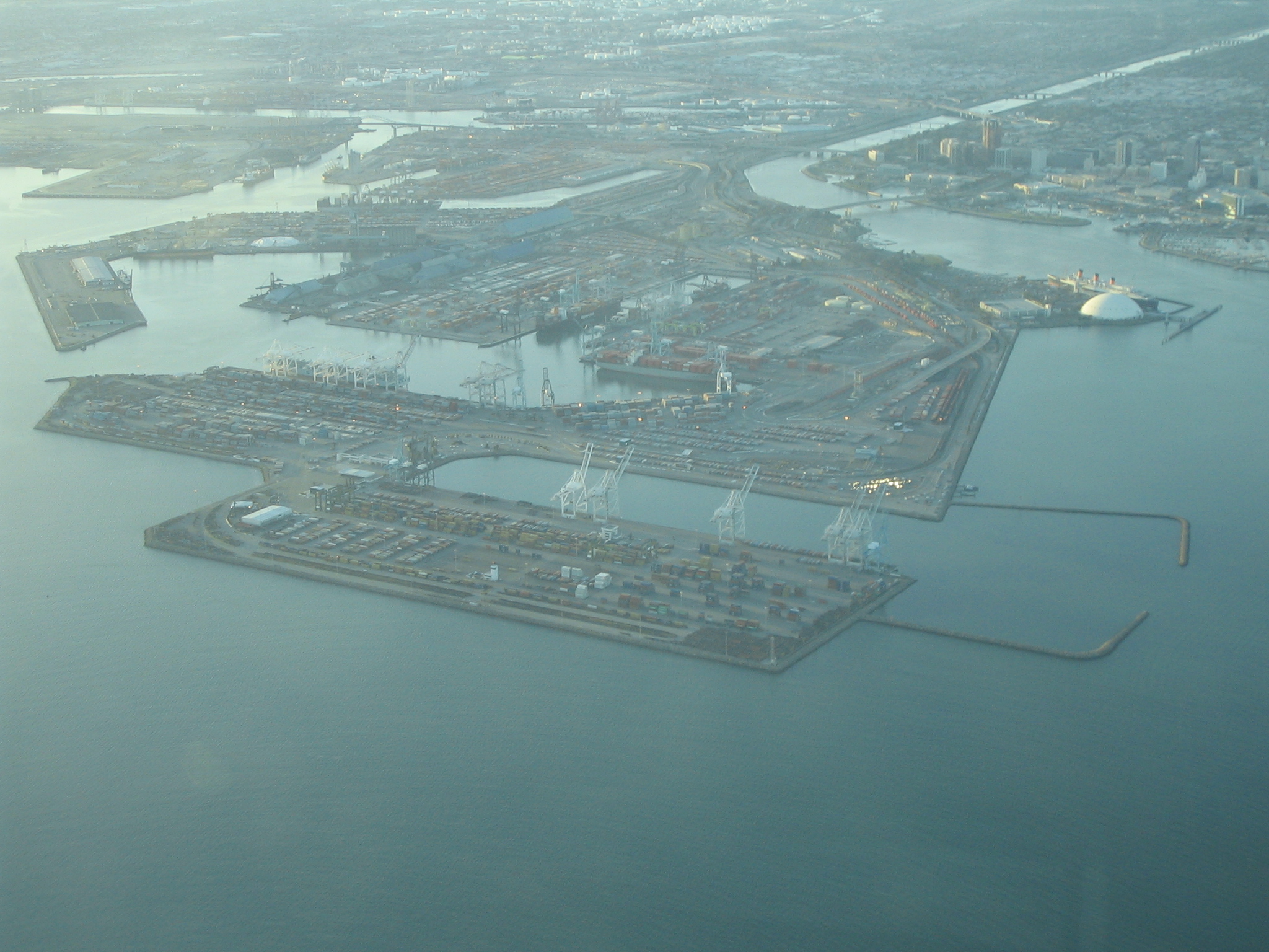
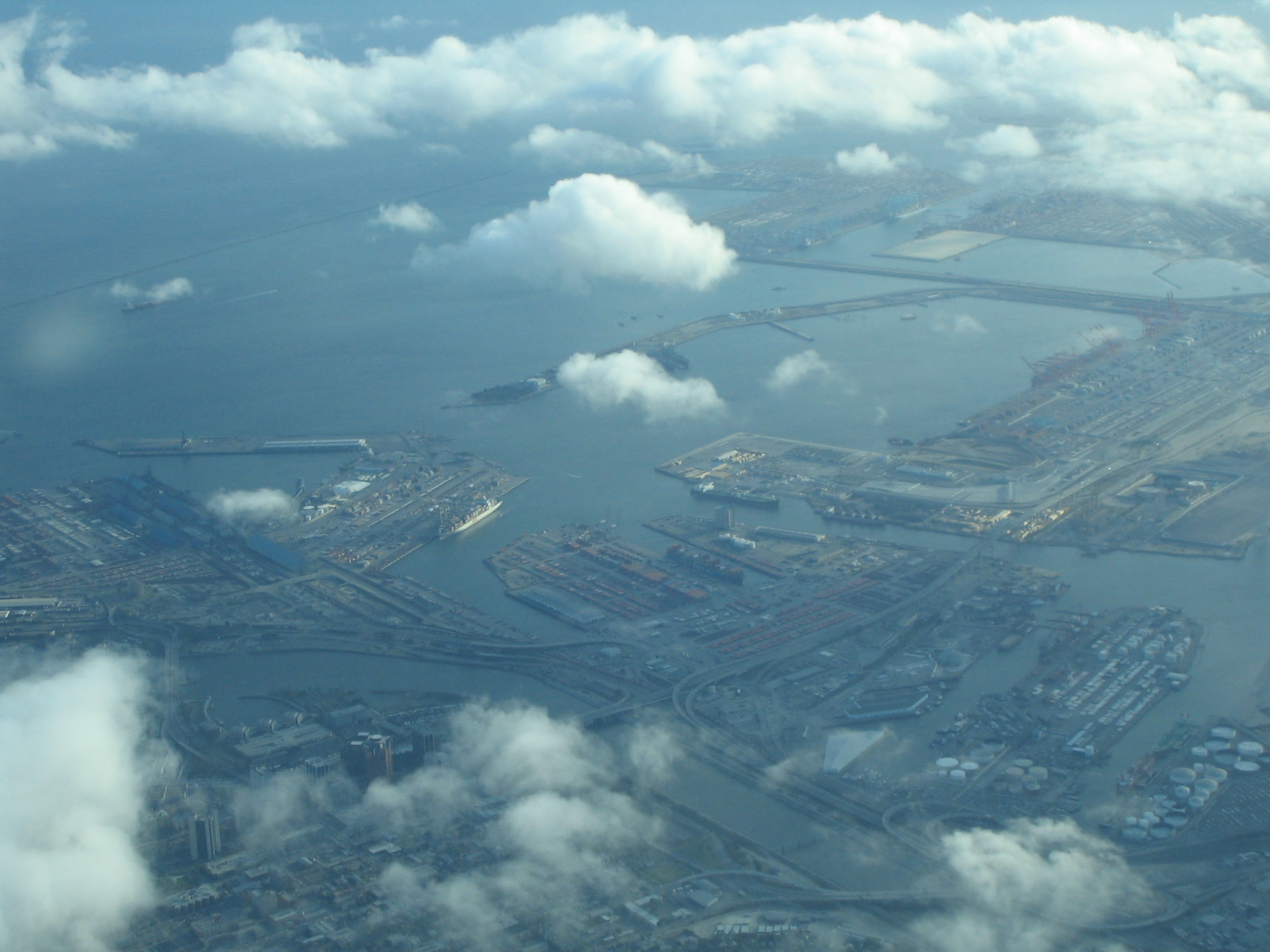
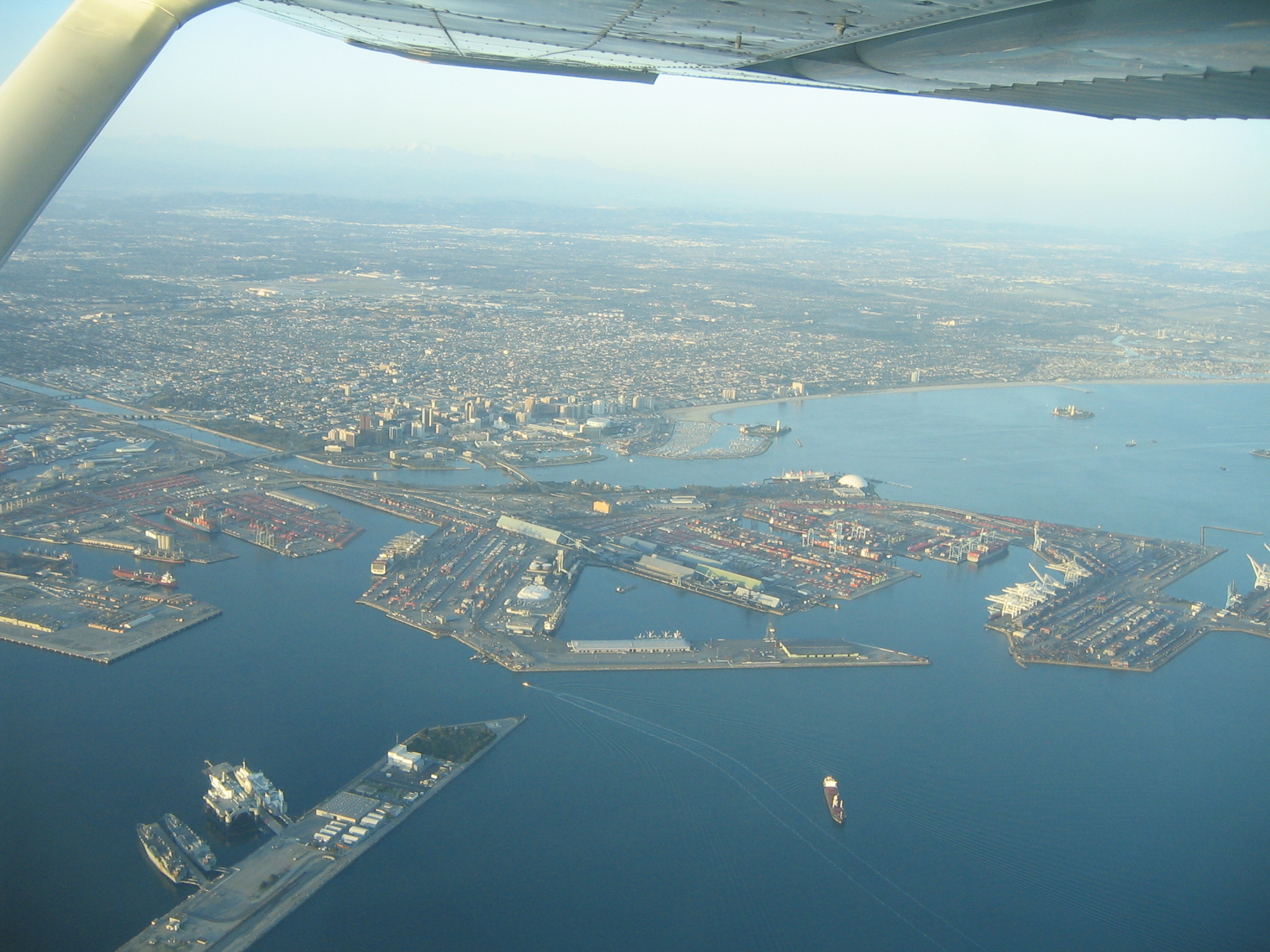
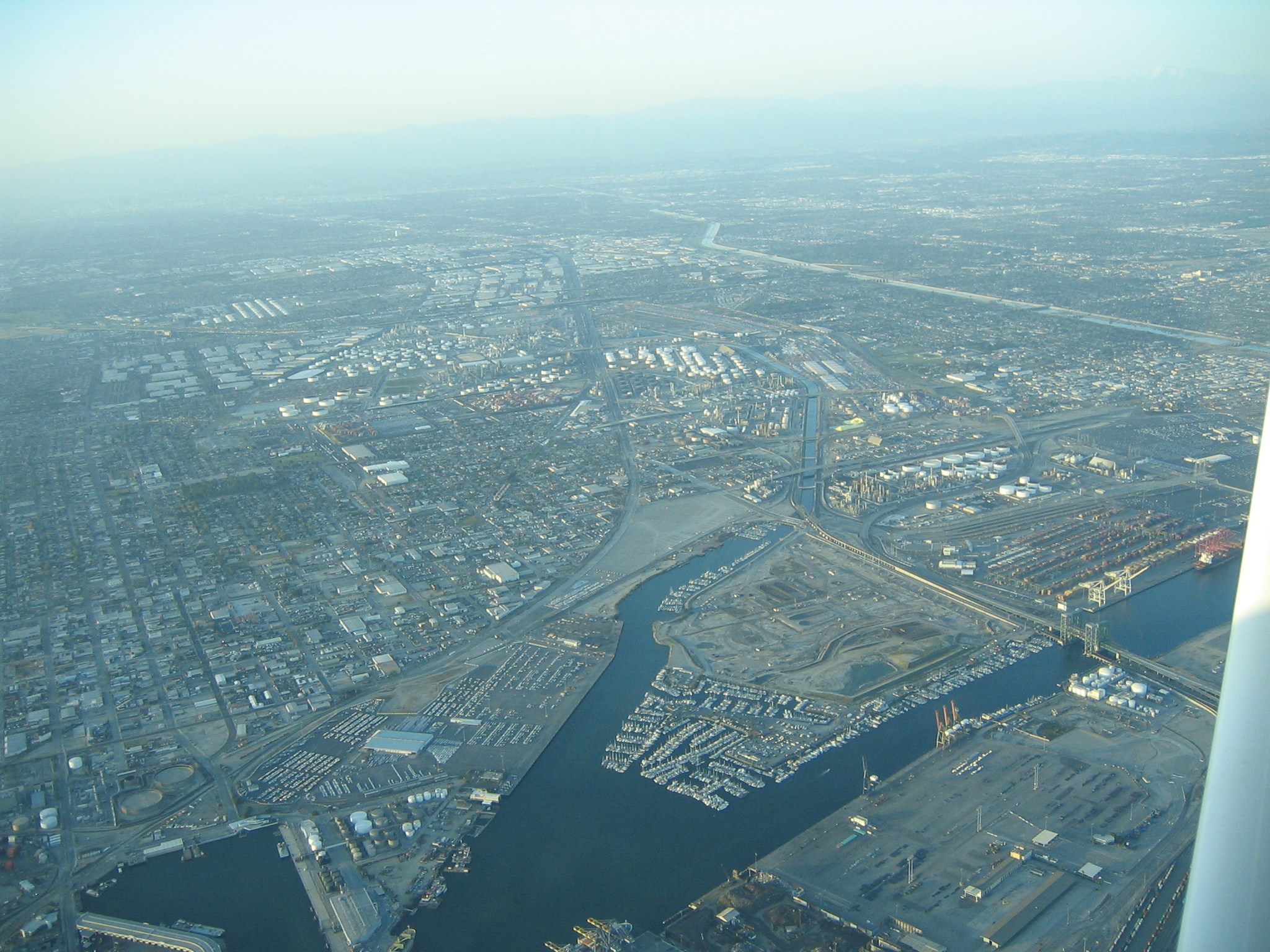
Long Beach Harbor. The Queen Mary is towards the upper right of this picture. Unfortunately ATC had us on fixed headings and altitudes, so we couldn't really get much closer. We were running a bit late anyway. |
|
|
|
|
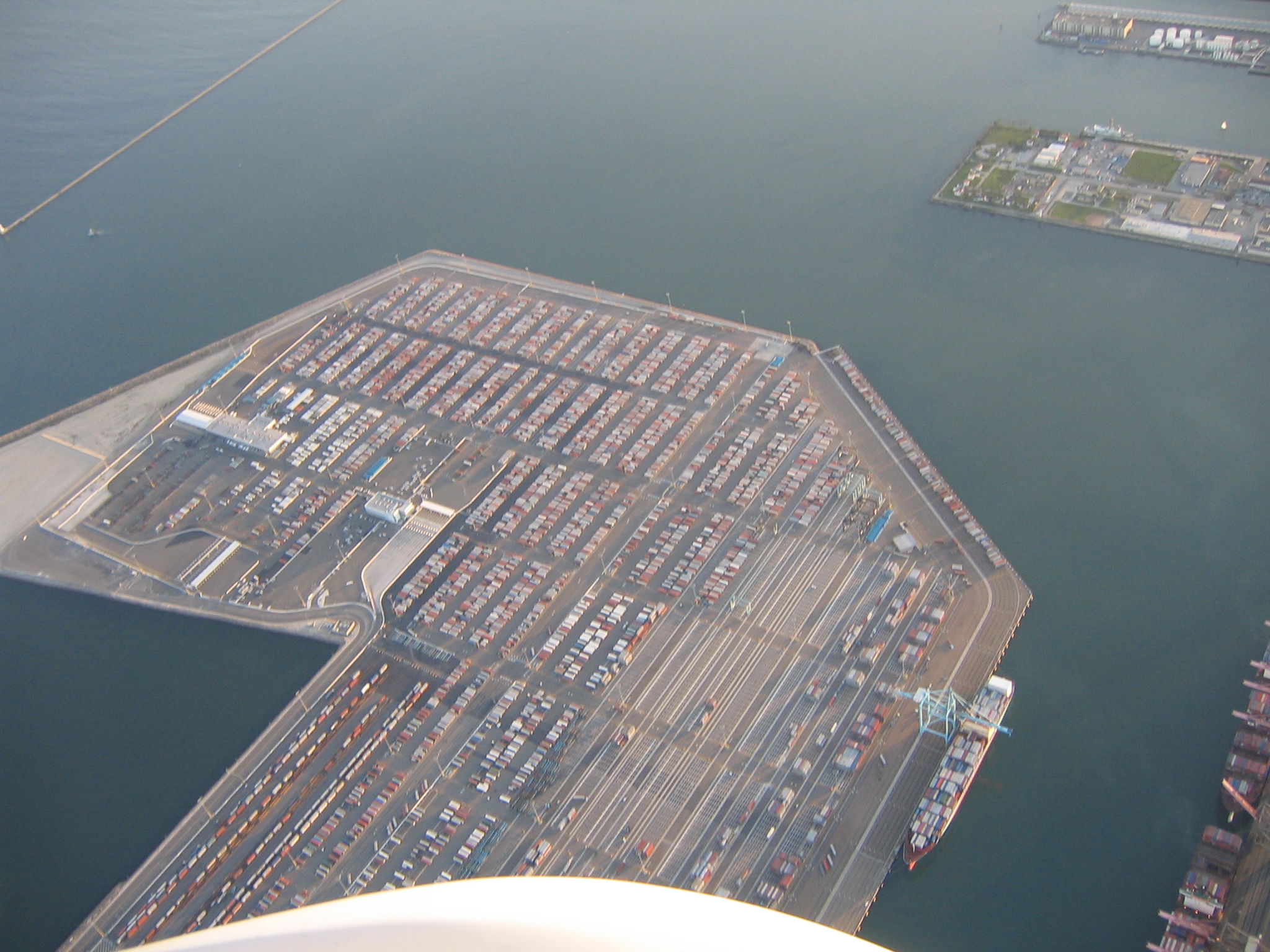
The industrial area that is Long Beach |
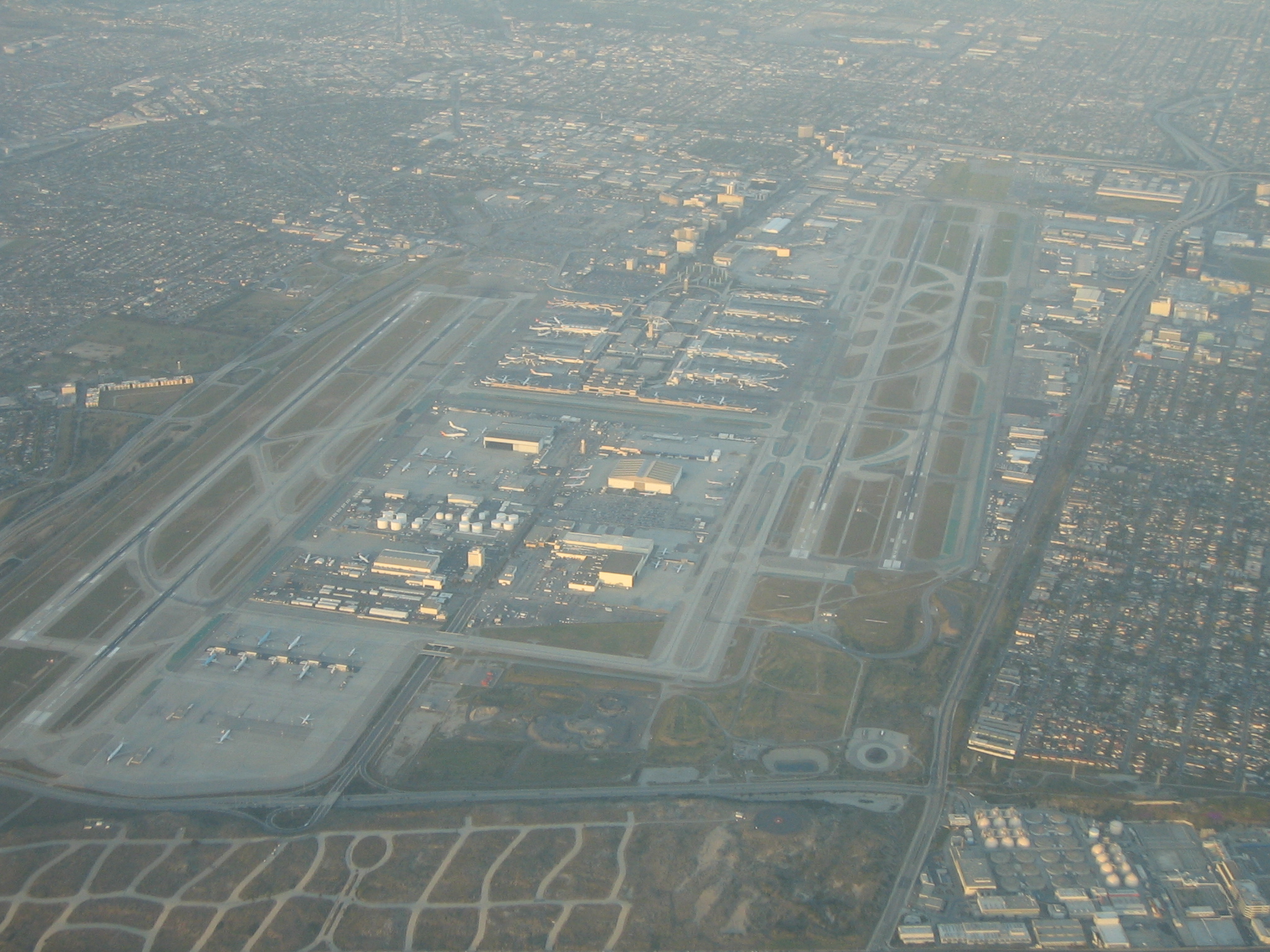
Passing LAX |
|
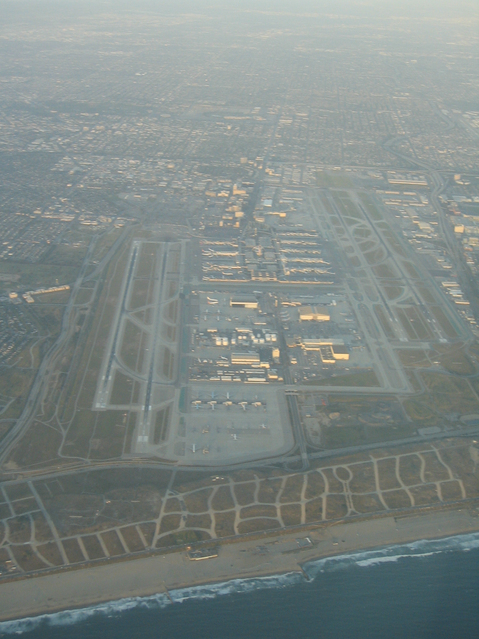
LAX |
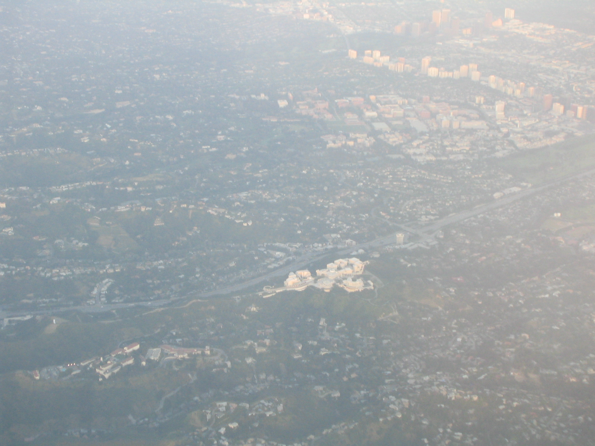
The Getty Museum near Santa Monica |
|
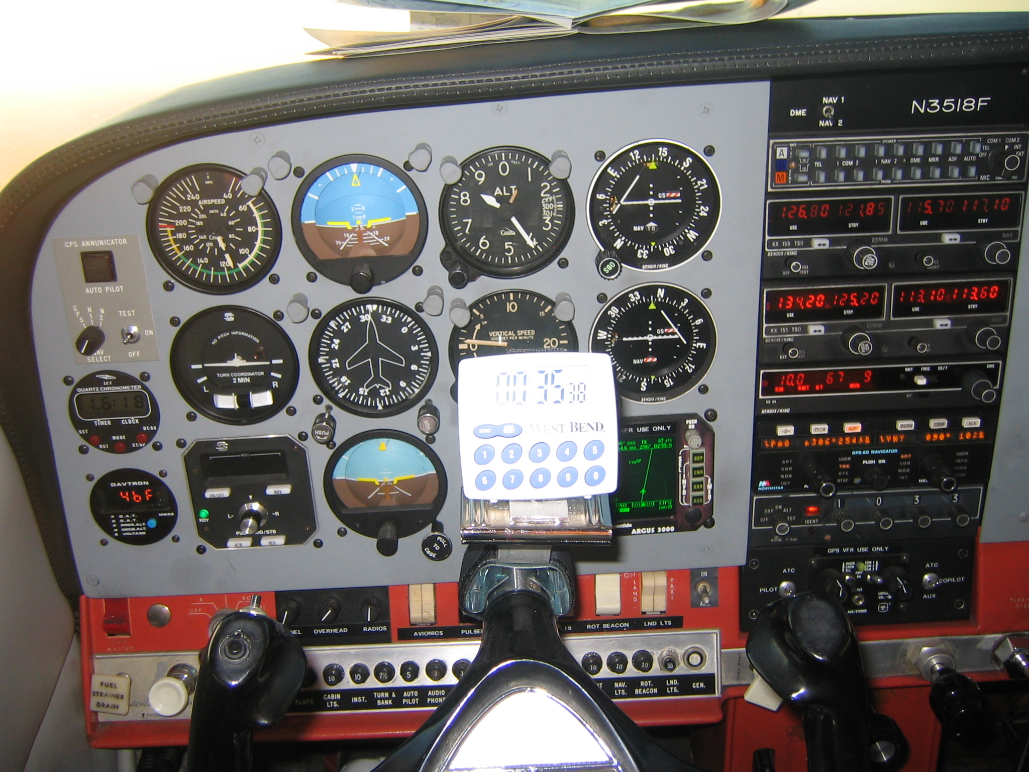
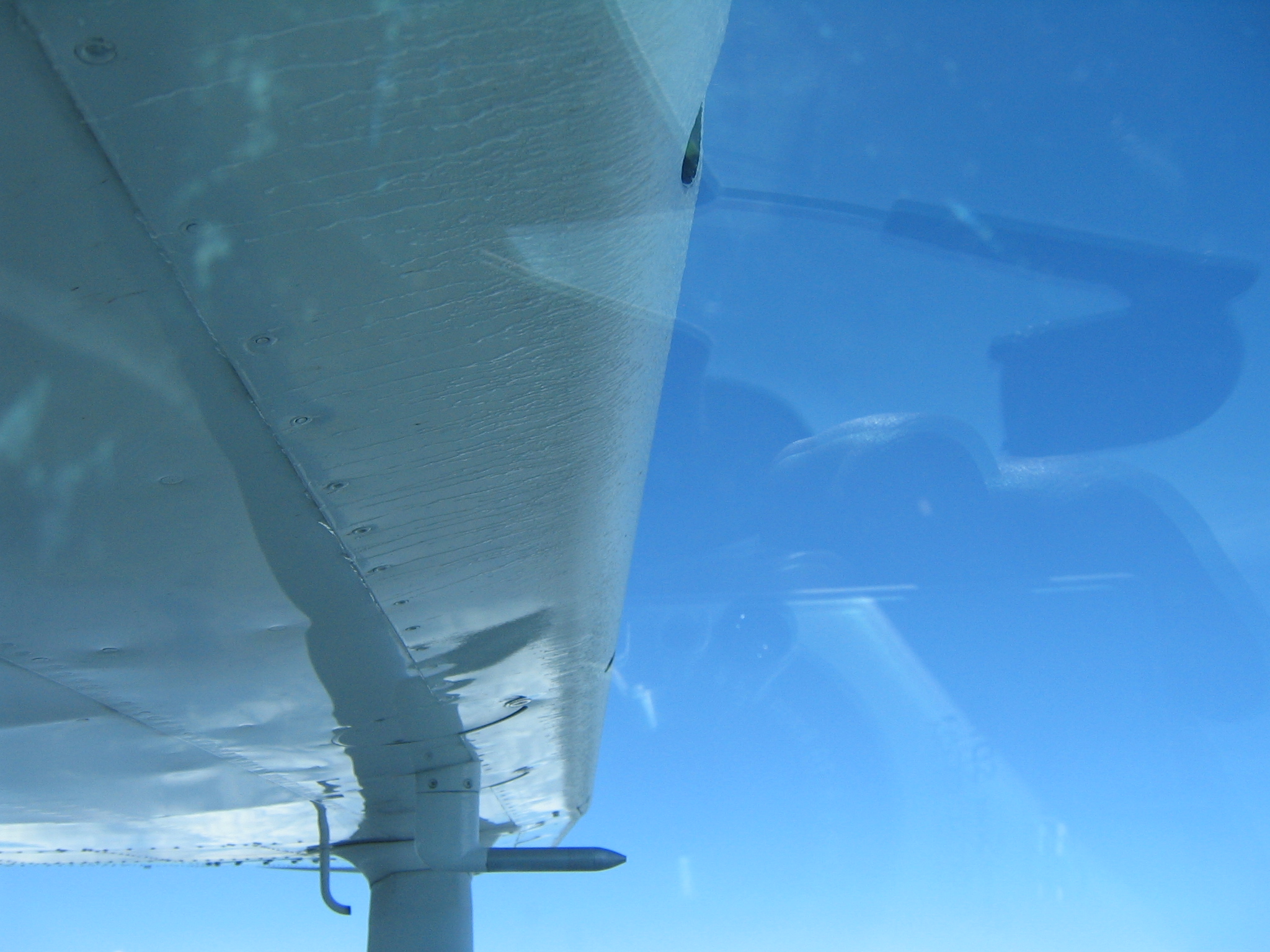
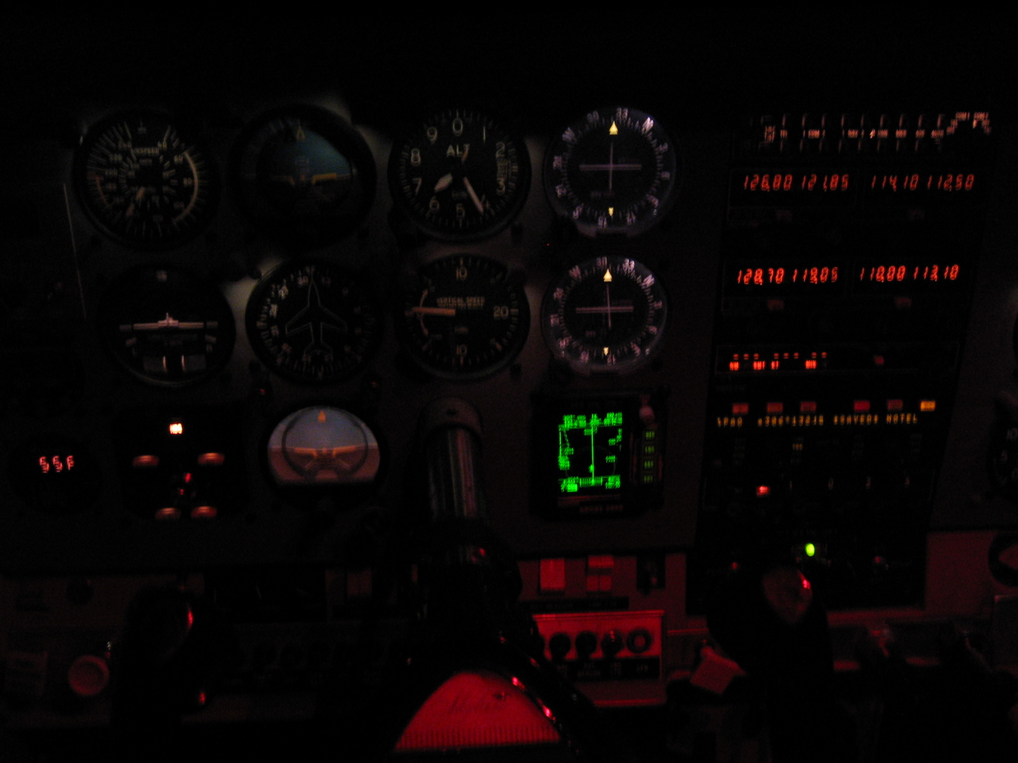
cockpit view, 35 mins into the flight |
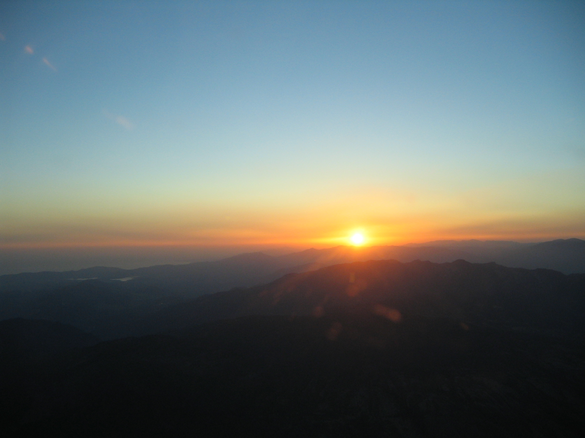
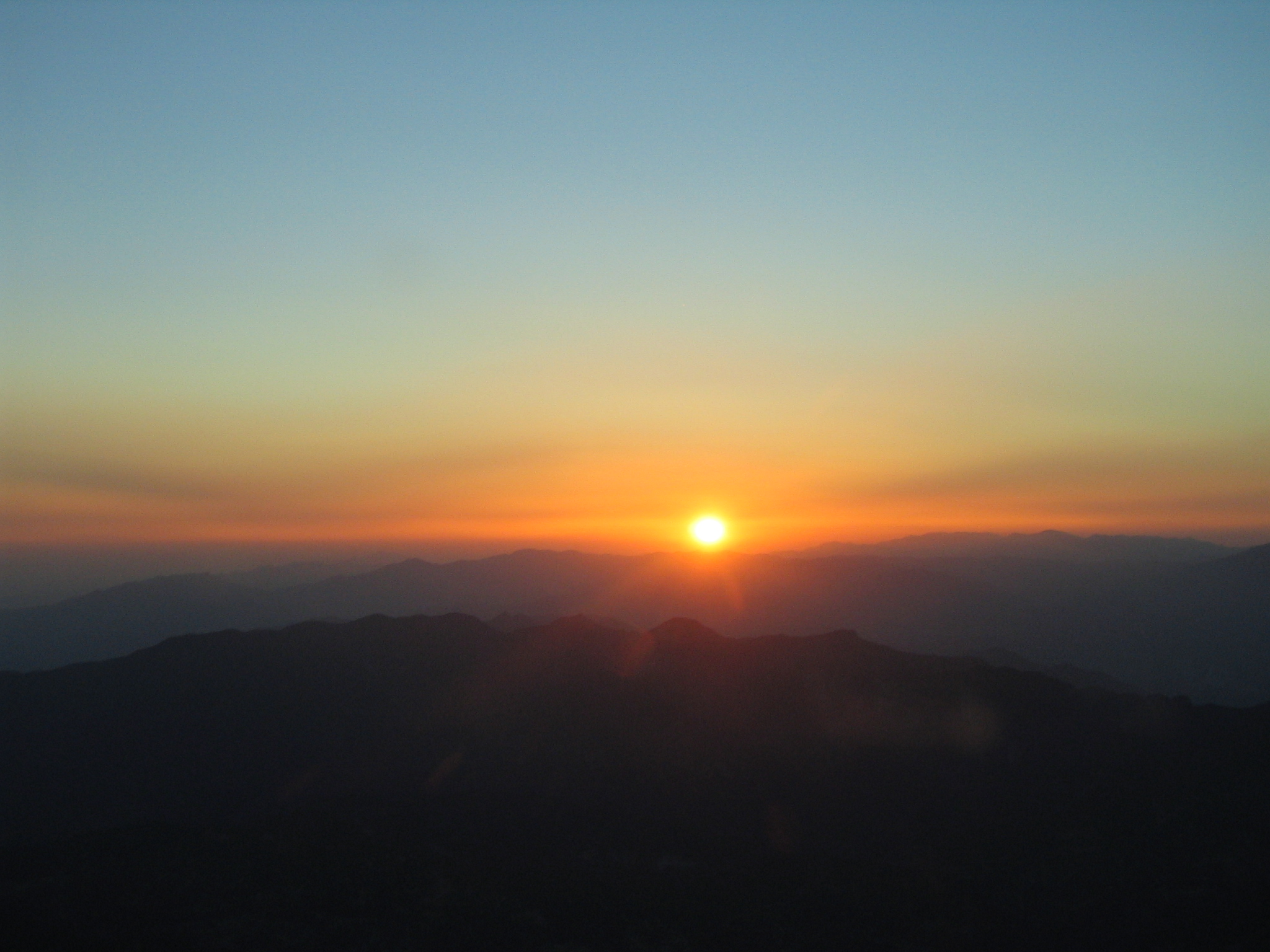
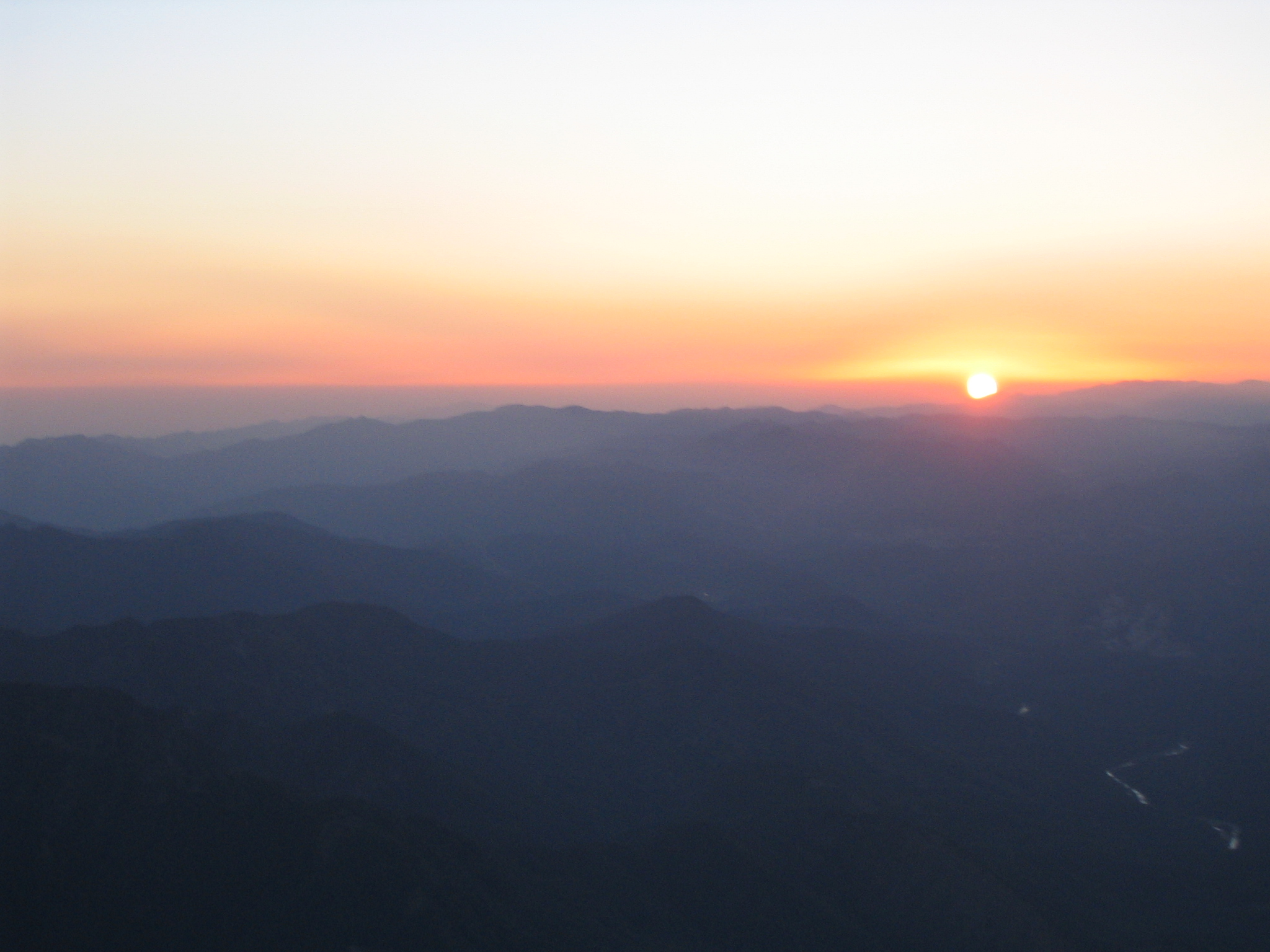
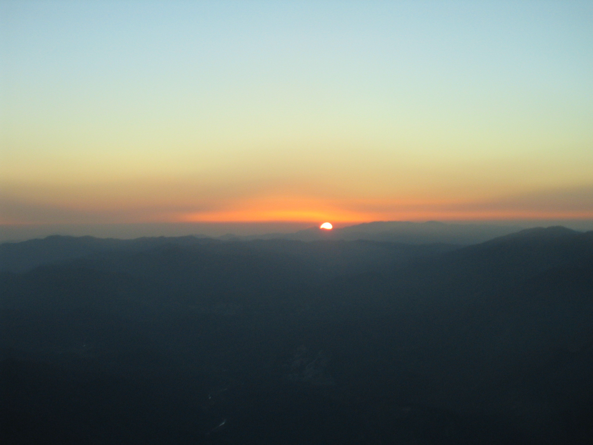
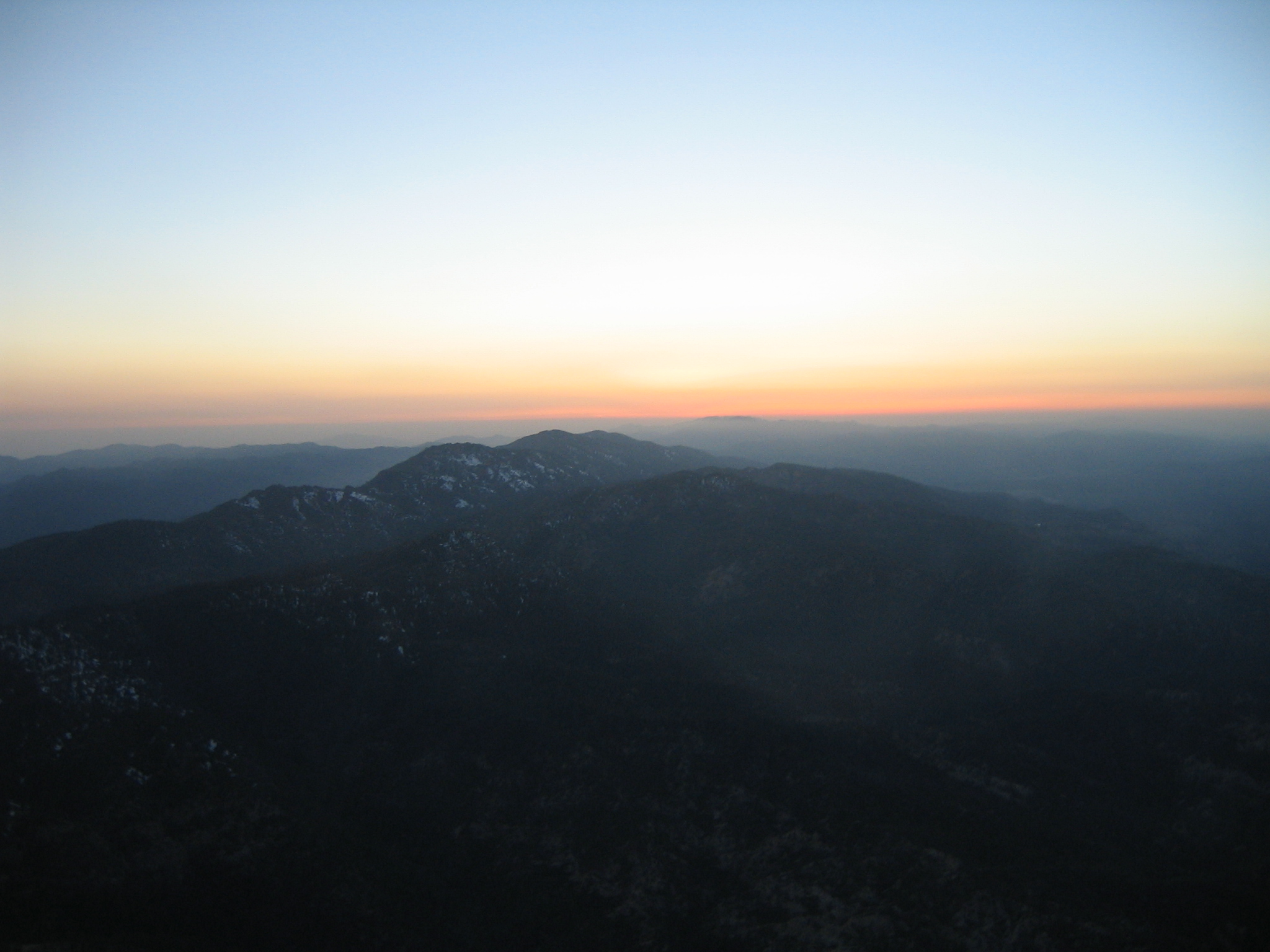
As the sun slowly sets in the west... |
|
|
|
|
|
|
|
|
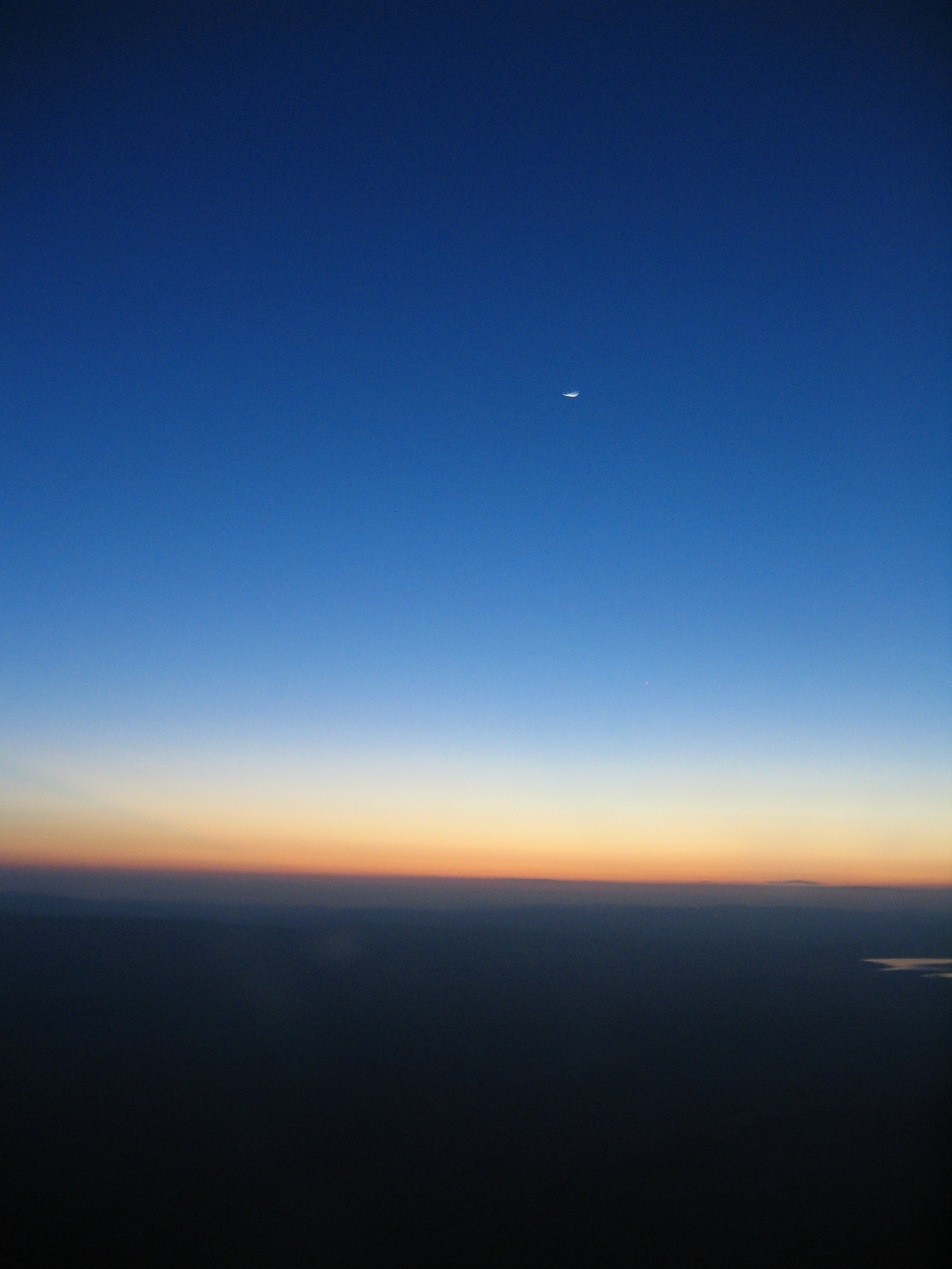
A sliver of the moon in twilight |
|
|
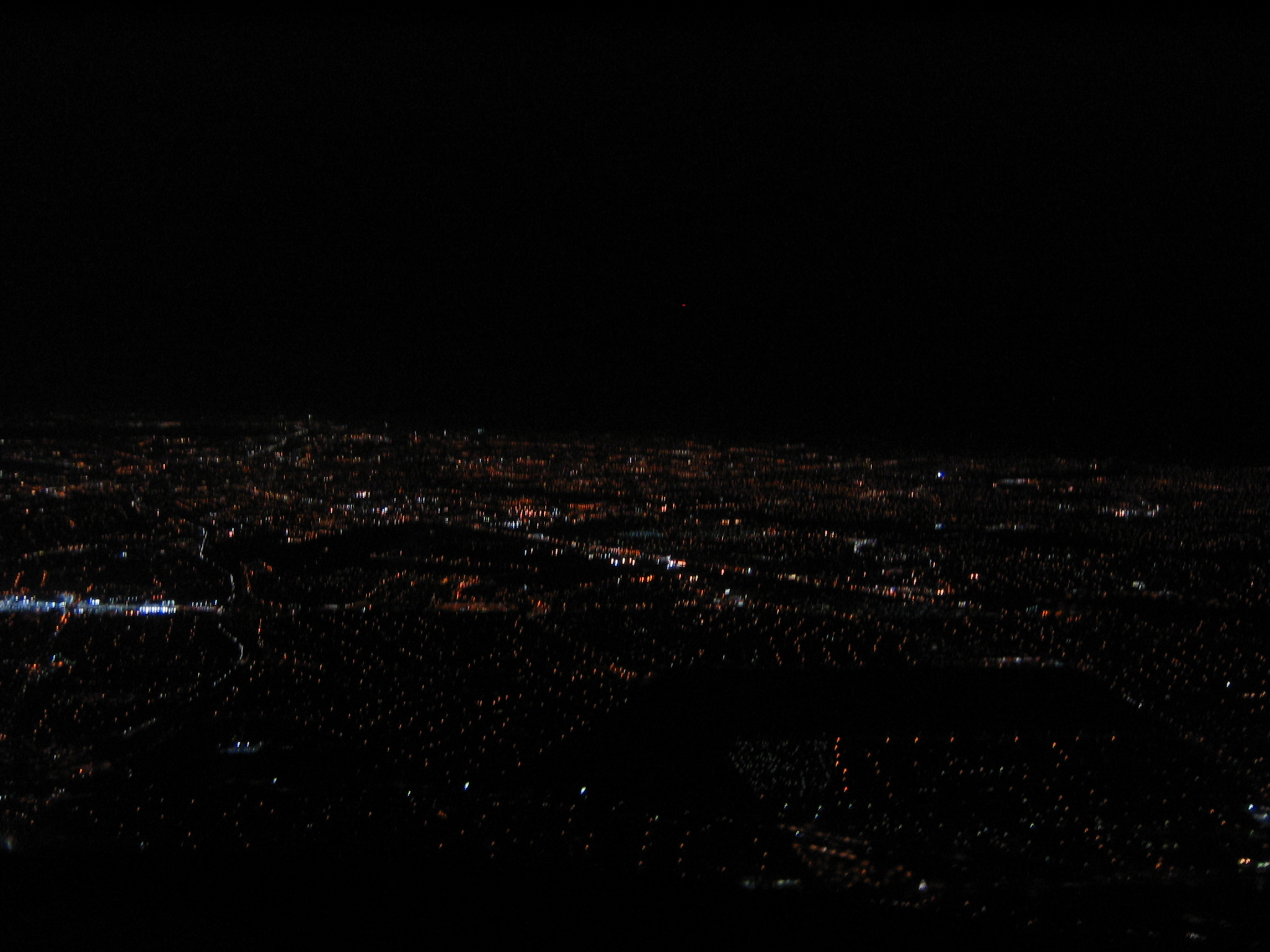
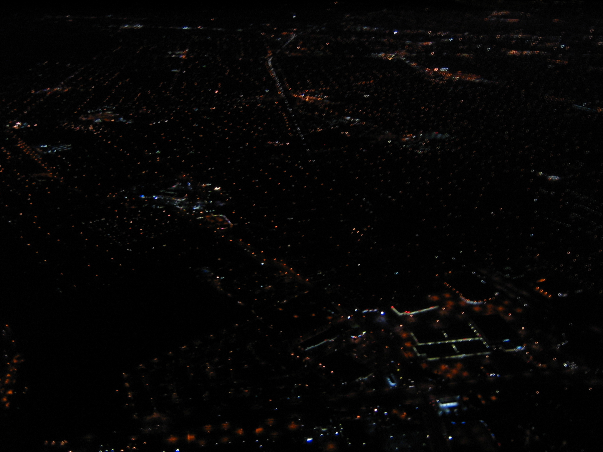
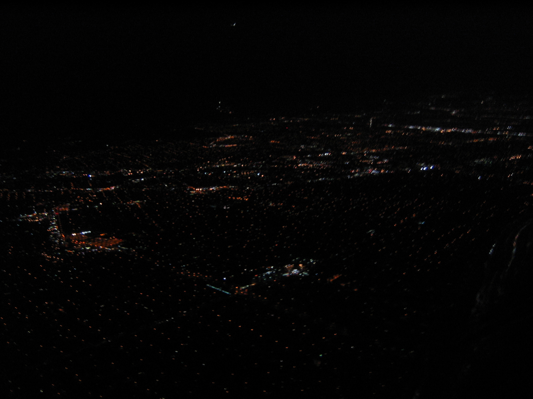
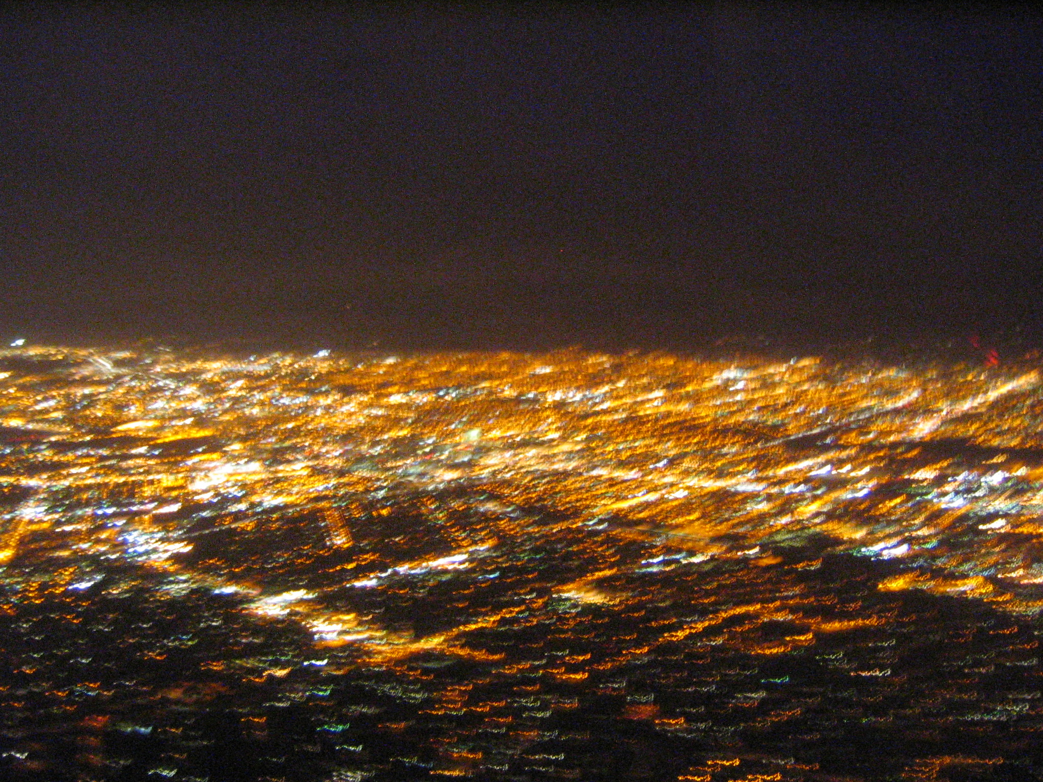
Coming back into the Bay Area |
|
|
|
|
|
|
|
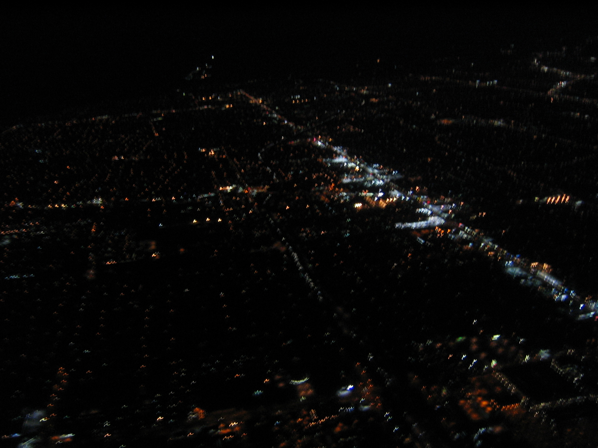
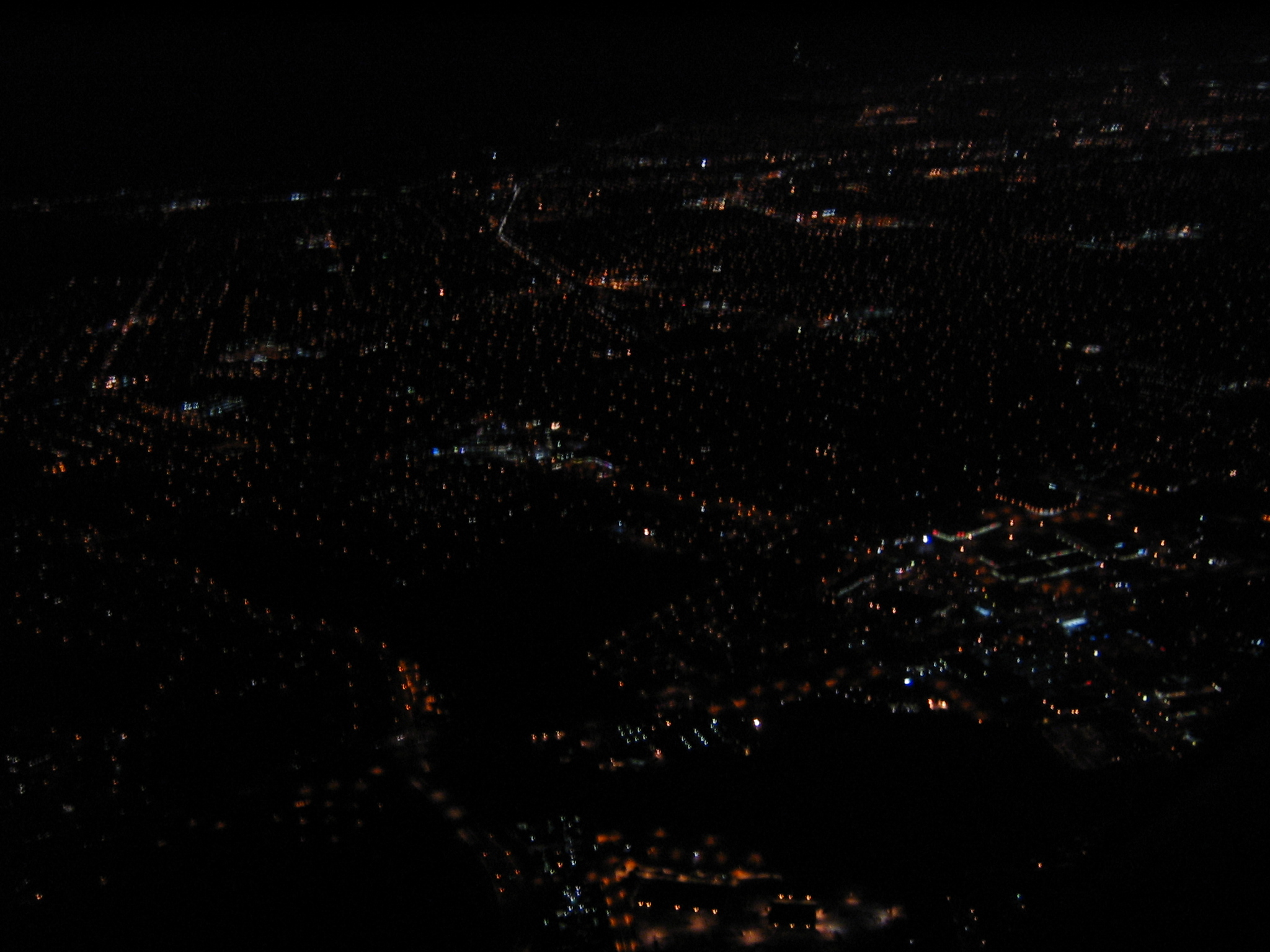
Stevens Creek blvd, I believe. | ||
Select videos
Back
All images copyright Rich Prillinger, 2005, 2006, 2007, 2008, 2009, 2010, 2011, 2012, 2013
Please ask for permission before use
web at richp d0t com